Pearl River

Pearl River
- Boat Ramps
- 25
- Access Points
- 25
- Campsites
- 13
The Pearl River is a significant waterway that forms part of the border between Mississippi and Louisiana before emptying into the Gulf of Mexico. Originating in central Mississippi near Philadelphia, it flows southward for approximately 490 miles. Major tributaries include the Strong River, Bogue Chitto River, and Yockanookany River.
Paddling opportunities abound along the Pearl River's course. The upper sections in Mississippi offer scenic flatwater paddling through rural landscapes. The Jackson area provides an urban paddling experience with the Central Pearl River Water Trail. Lower sections near the Gulf Coast feature a mix of river and tidal influences, with numerous channels and bayous to explore.
The river's difficulty ranges from flatwater to Class I rapids, making it suitable for beginners to intermediate paddlers. However, high water conditions can increase difficulty, and tidal influences affect the lower sections. Paddlers should be prepared for potential currents and boat traffic, especially in more populated areas.
Spring and fall are ideal paddling seasons, offering comfortable temperatures and moderate water levels. Summer can be hot and humid, while winter paddling requires cold-water gear.
The Pearl River basin supports diverse ecosystems, including hardwood forests, swamps, and coastal marshes. Wildlife includes alligators, various fish species, and numerous birds. Paddlers may spot bald eagles, herons, and egrets.
Key landmarks include the Ross Barnett Reservoir near Jackson, the Honey Island Swamp, and the river's multiple channels as it approaches the Gulf. Historical sites like Logtown, a former logging community, offer glimpses into the region's past.
Popular access points include: - Old Highway 13 Bridge near Lena, MS - Leake County Water Park in Lena, MS - Ross Barnett Reservoir Spillway in Jackson, MS - Columbia Water Park in Columbia, MS - Indian Village Boat Ramp near Slidell, LA
The Pearl River has played a crucial role in the region's development, serving as a transportation route and supporting logging and fishing industries. Today, it remains an important recreational resource and wildlife habitat.
Safety considerations include being aware of water levels, watching for submerged obstacles, and exercising caution around concrete bridge supports and the low head dam near Lena. Paddlers should also be mindful of tidal influences and larger boat traffic in the lower sections.
Multi-day trip options are available, particularly in the upper and lower sections. Campgrounds and water parks along the river provide convenient overnight stops for longer journeys.
Water access, boat ramps & amenities
Learn how to get on Pearl River. Uncover great paddling access points, boat ramps, and all the facilities you need for an unforgettable day on the water. Some locations shown may border or include private property. Always check property boundaries and applicable regulations before visiting. PaddleWays's Public & Private Land layer can help you plan your access with confidence.
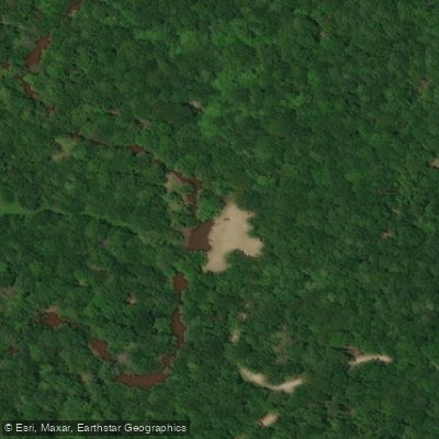
Pearl R. Nanih Waiya Wildlife Management Area Boat Ramp
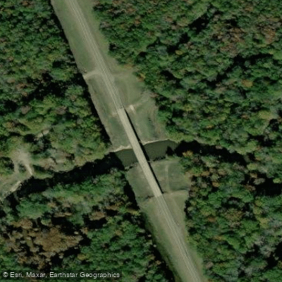
Highway 19 Boat Ramp
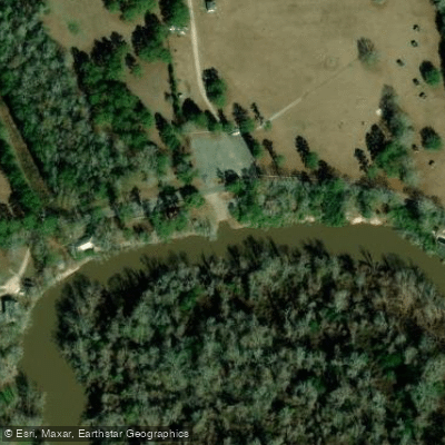
Walkaih Bluff Boat Ramp
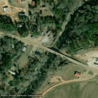
Highway 16 Boat Ramp
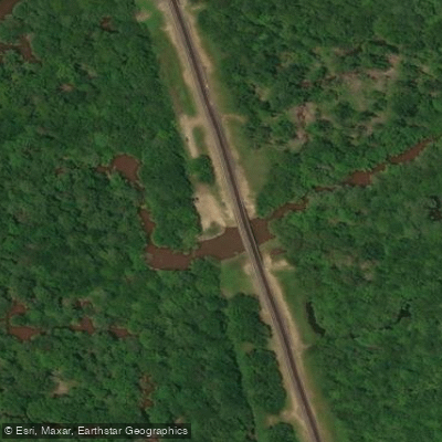
Highway 15 Boat Ramp
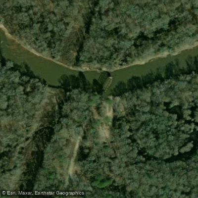
Old Highway 13 Bridge Boat Ramp
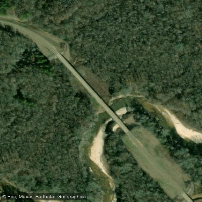
Battle Bluff Rd Boat Ramp
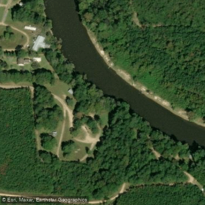
Wanilla Water Park Boat Ramp
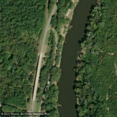
Wanilla Water Park Boat Ramp
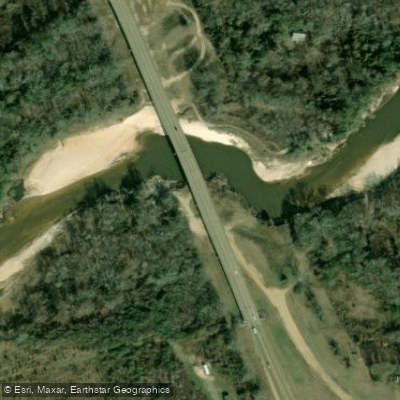
South Carthage Boat Ramp
Paddle smarter with real-time insights
Whether you're en route and conditions shift or you're looking for the best spot based on current flows, we enable you to make informed decisions on the fly.








Find Places to Paddle

Over 400,000 Places to Paddle
Every user gets free access to launch points, boat ramps, and public property parcels.


Water and weather conditions (10 day forecast)
See the best times to paddle Pearl River and check the forecast before you go.
WILSON SLOUGH NEAR WALKIAH BLUFF, MS
All Flow Stations
Paddling near Pearl River
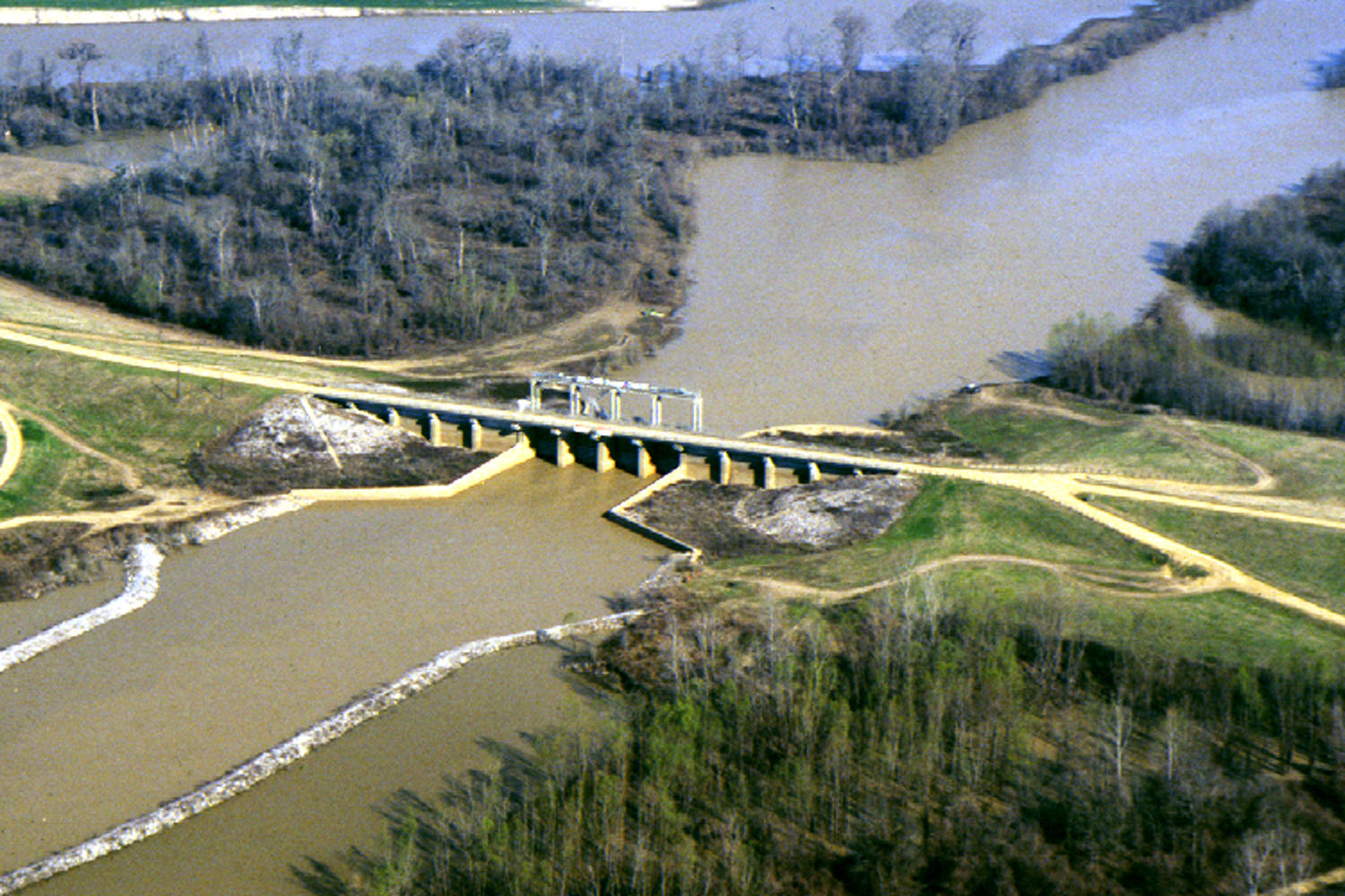
Yazoo River

Mississippi River
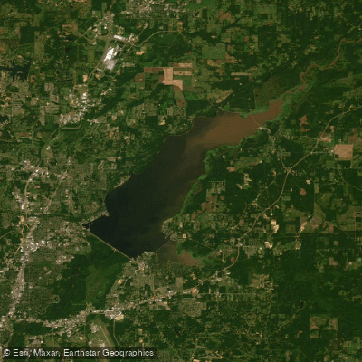
Ross R Barnett Reservoir
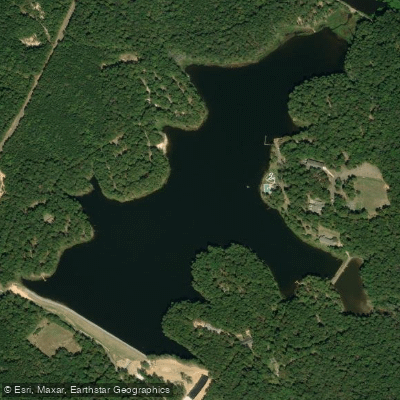
Shadow Lake
Pelahatchie Creek
Big Black River
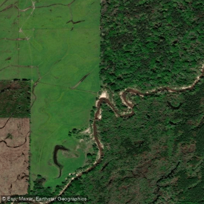
Strong River
Leaf River
Lake Ross Barnett
Explore Louisiana waters
Top paddling waters
Popular Cities
Loading popular cities...
Explore near Pearl River
Access points
- Pearl R. Nanih Waiya Wildlife Management Area Boat Ramp
- Highway 19 Boat Ramp
- Walkaih Bluff Boat Ramp
- Highway 16 Boat Ramp
- Highway 15 Boat Ramp
- Old Highway 13 Bridge Boat Ramp
- Battle Bluff Rd Boat Ramp
- Wanilla Water Park Boat Ramp
- Wanilla Water Park Boat Ramp
- South Carthage Boat Ramp
- Highway 44 Landing Boat Ramp
- Allen Boat Ramp
- All 494 spots
Nearby waters
More in Louisiana

Smarter Paddling Starts in the App.
Paddleways gives you everything you need to plan smarter, paddle better, and own every trip from first launch to takeout.