Curated by PaddleWays

Stony Creek Lake

2.5 mi lake route on Stony Creek Lake in Michigan


Map of the Stony Creek Lake route, from Boat Ramp
  • Route
  • Put-in & take-out
  • Hazards

Conditions right now

How Stony Creek Lake is running today

Route facts

Stony Creek Lake at a glance

Distance
2.5 mi
Paddle time
~1 hr
Type
Lake

About this route

Paddling Stony Creek Lake

A 2.5-mile lake route on Stony Creek Lake in Macomb County, Michigan.

Put-in & take-out

  • Put-in & take-out

    Boat Ramp

Hazards

Hazards on Stony Creek Lake

No paddler has reported a hazard here yet, so these are the dams, falls and big rapids on our map. Hazards change with flows and storms, so check them before you launch.

  1. Dam

    We have no details on this dam.

From the community

Stony Creek Lake trip reports

Real trips from PaddleWays paddlers who ran this route: how the water was, and what to watch for.

Loading trip reports

  • Wendi S.

    SUP •

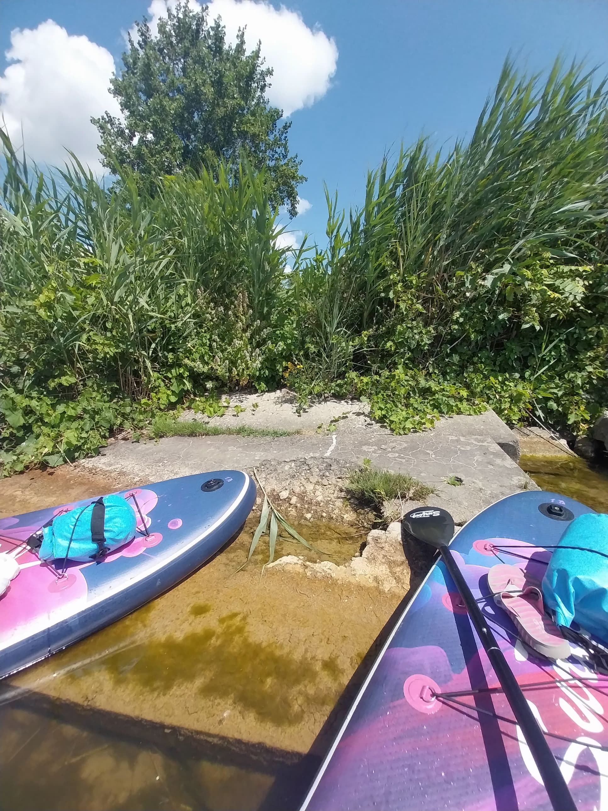
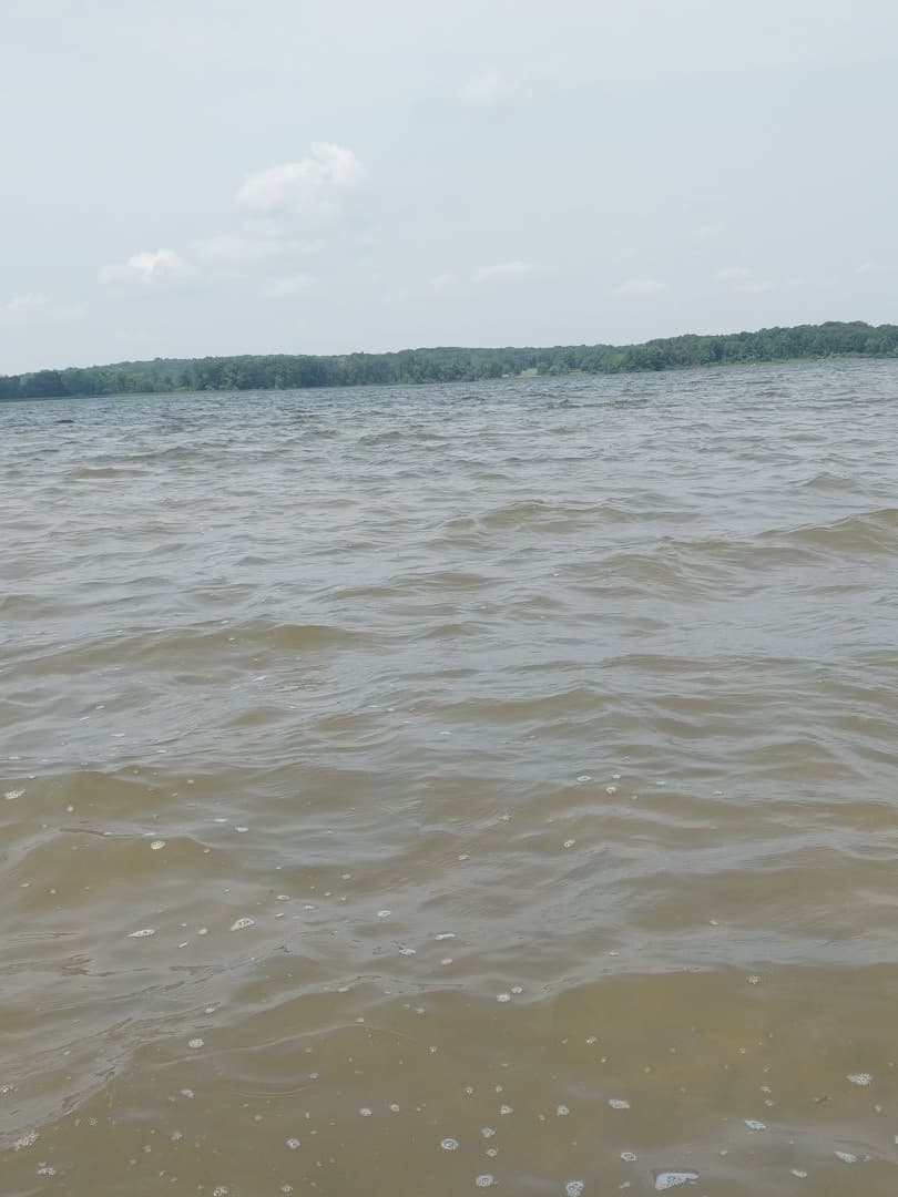
    First trip out with mom. Windy, choppy, but sooo much fun. MacGyvered a fix when one blade of a kayak paddle broke off, and it lasted the whole trip. That was just with a bungee cord; is there anything I couldn't do with duct tape? Wind speeds 11- 14 mph from the North, slightly NE at launch, slightly NW at return. Very wavy with gusgusts of 20+ mph. Challenging at points and definitely a day for the kayak paddle. But seriously fun!
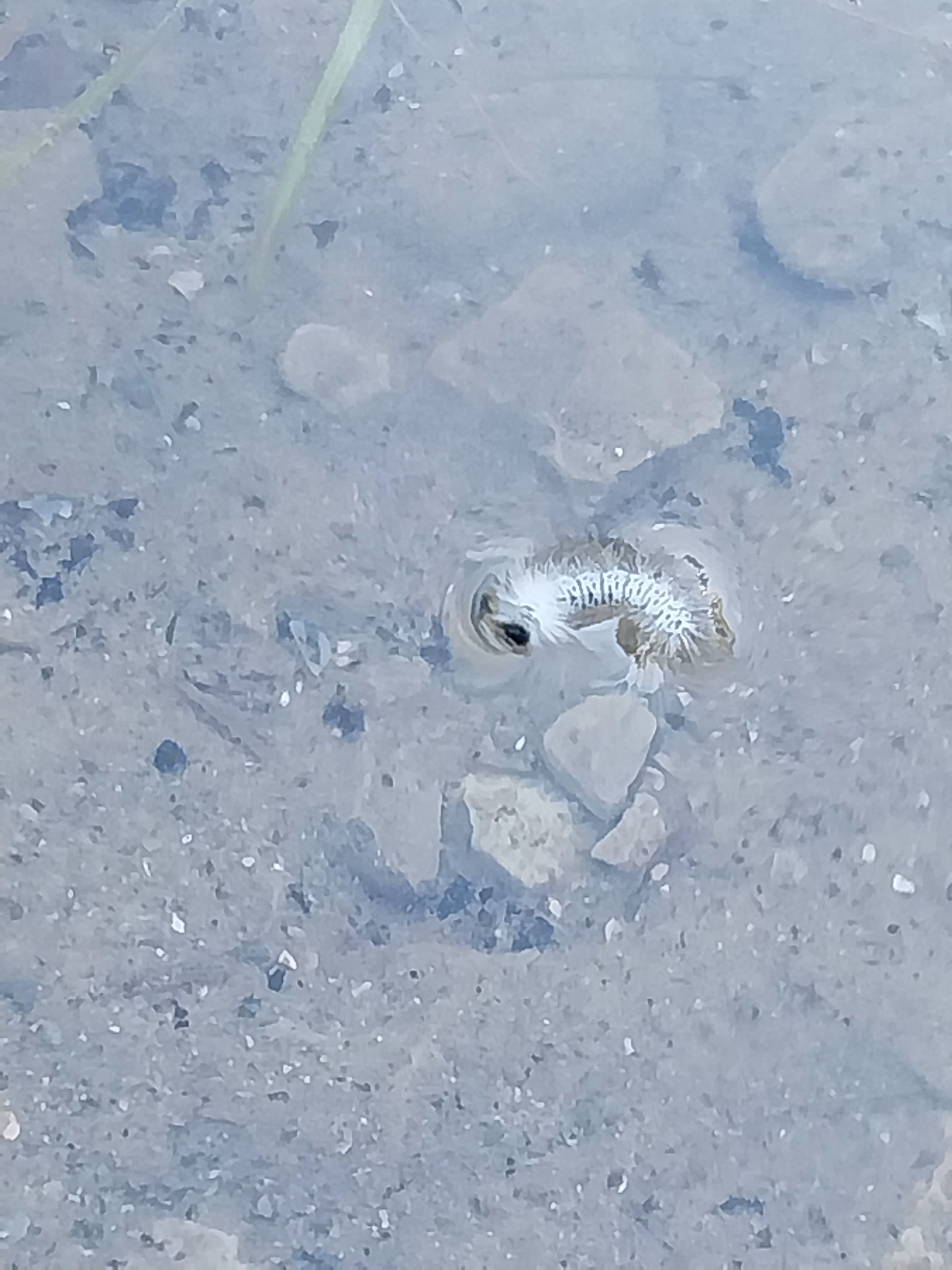
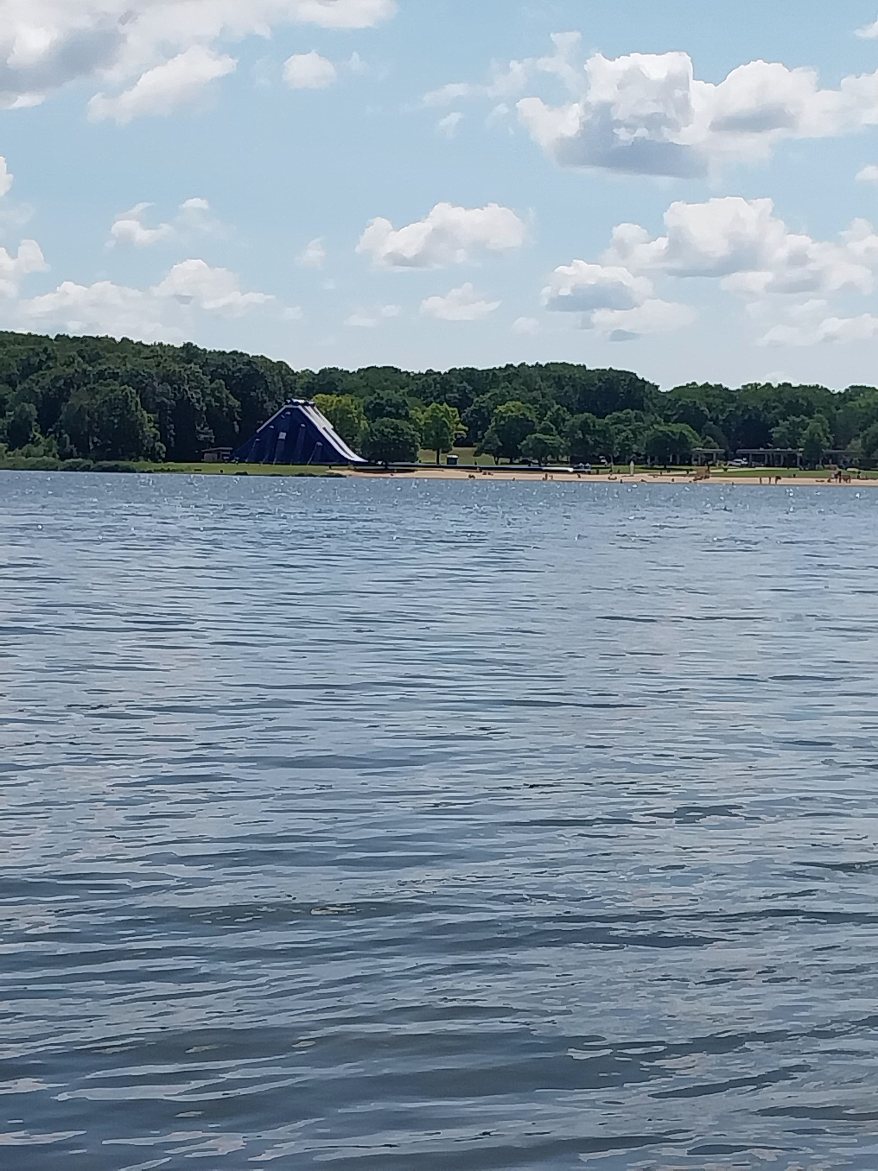
    • Photo 1 from Wendi S.'s trip
    • Photo 2 from Wendi S.'s trip
    • Photo 3 from Wendi S.'s trip+1
    Mentions: wind
  • Wendi S.

    SUP •

    First time on the lake solo, too choppy to try standing but I definitely got a workout...plus some perfect rest break relaxation.

    • Photo 1 from Wendi S.'s trip
    • Photo 2 from Wendi S.'s trip
    • Photo 3 from Wendi S.'s trip+2
    Mentions: wind

Weather & wind (10 day forecast)

The gauges near Stony Creek Lake and the forecast where it starts, so you can pick your day.

No forecast data available.

Close by

Routes near Stony Creek Lake

Curated routes on other waters within an hour or so, nearest first.

Curated by PaddleWays

RouteClass I–II

Distance
4.2 mi
Paddle time
~1.5 hrs
Best for
Beginners
Put-in → take-out
Budd Park Access → Shadyside Park Boat Ramp
Curated by PaddleWays

RouteFlatwater

Distance
3.4 mi
Paddle time
~1 hr
Best for
Beginners
Put-in → take-out
Bakersfield Park → Boat Ramp
Curated by PaddleWays

RouteFlatwater

Distance
9.5 mi
Paddle time
~3 hrs
Put-in → take-out
Barton Nature Area Access → Boat Ramp

Smarter Paddling Starts in the App.

PaddleWays gives you everything you need to plan smarter, paddle better, and own every trip from first launch to takeout.