Paddling in Michigan
- Lakes
- 6,528
- Rivers
- 5,923
- Access
- 335
- Boat Ramps
- 2,424
- Shops
- 20
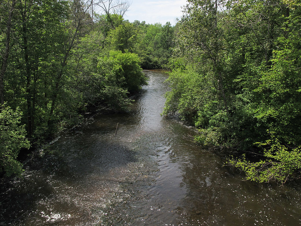
Michigan is really two paddling states sharing a license plate. The Lower Peninsula is canoe-livery country — clear, sandy-bottomed rivers and a generations-deep tradition of renting a boat, packing a cooler, and floating downstream for a weekend.
The Upper Peninsula is something else entirely: 1,700 miles of Great Lakes coastline, a lattice of Wild and Scenic rivers, and the kind of cold water and committing whitewater that demand real skills.
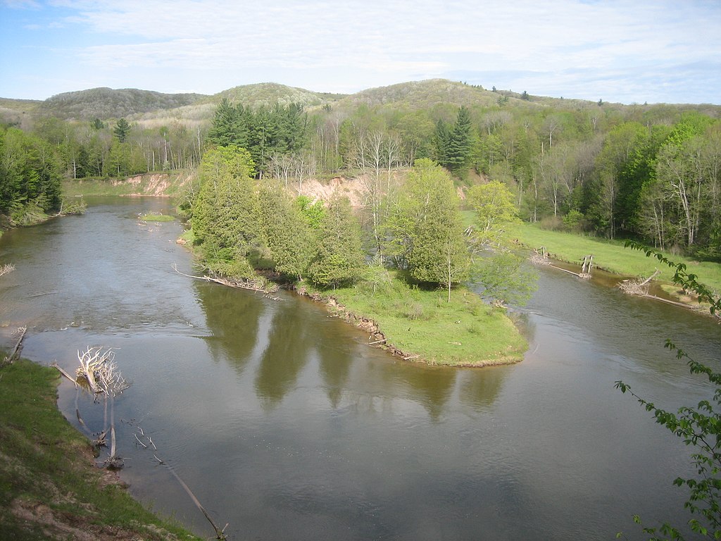
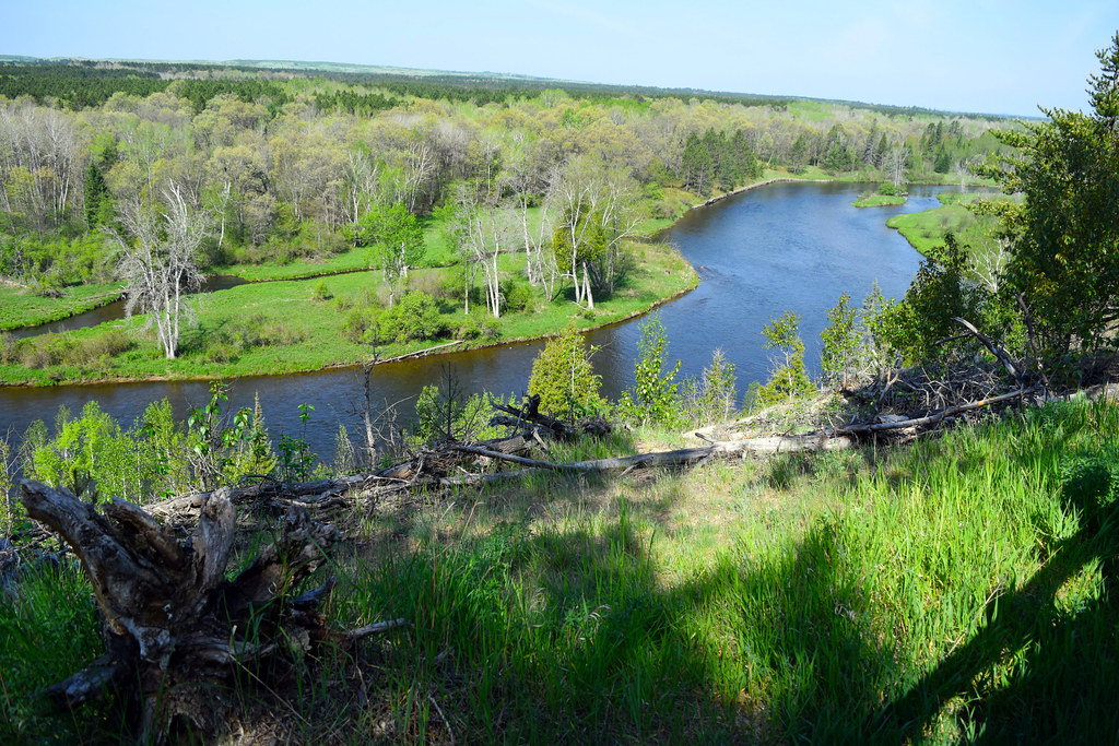
The cultural anchor of Lower Peninsula paddling is the Au Sable, winding from Grayling to Lake Huron through the Huron-Manistee National Forest — a cold, clear trout stream and the home of the Au Sable River Canoe Marathon, a 120-mile nonstop race held the last weekend of July since 1947.
The race starts LeMans-style at 9 PM, runs through the night, portages six hydroelectric dams, and pulls something like 40,000 spectators out to cheer carbon-fiber C-2s at three in the morning.
It's not a niche thing here; it's the cultural heart of Michigan paddling.
The Pere Marquette runs nearby in the same register — a National Scenic River, no dams, mostly two to four feet deep, shared between paddlers and Blue Ribbon steelhead anglers, with Forest Service watercraft permits required from Memorial Day through Labor Day.
The Crystal River near Glen Arbor, the Jordan, the Betsie, the Platte — these are the rivers families come back to year after year, with the caveat that summer weekends get crowded and dam portages are a constant feature of any longer trip.
Cross the Mackinac Bridge and the toolkit changes. Piers Gorge on the Menominee delivers Class III–IV whitewater past 200-foot cliffs, capped by a ten-foot waterfall — outfits like True North Outpost and Wildman run it commercially.
The Black, the Big Garlic, the Ontonagon and its tributaries hold the state's hardest water, much of it under federal Wild and Scenic protection inside the Ottawa National Forest.
Sylvania Outfitters in Watersmeet handles wilderness portage trips out of the Sylvania tract. And then there's Pictured Rocks, the 42-mile sandstone corridor between Munising and Grand Marais.
It's one of the great freshwater sea-kayak runs anywhere — arches, caves, waterfalls dropping straight into Lake Superior — and it's strictly a sea-kayak venue. Boats need to be 14.
5–18 feet with two bulkheads and a skirt, paddlers need self-rescue, and conditions can shift from glass to four-foot wind waves in under five minutes. Northern Waters Adventures has been guiding it out of Munising since 1991.
The water stays cold enough into early summer that immersion wear isn't optional.
What ties it all together is access — a Recreation Passport at the put-in, 3,000-plus mapped miles in the state water trail system, the MI Paddle Stewards working invasives, watershed councils running the Rouge and the Huron down in the southeast.
Michigan rewards paddlers who show up with the right boat for the water in front of them.
Paddle smarter with real-time insights
Whether you're en route and conditions shift or you're looking for the best spot based on current flows, we enable you to make informed decisions on the fly.







Michigan licenses and regulations
National parks in Michigan
Explore Michigan waters
Top paddling waters
Popular Cities
Loading popular cities...

Smarter Paddling Starts in the App.
Paddleways gives you everything you need to plan smarter, paddle better, and own every trip from first launch to takeout.