
Roxanne D.
7,230 cfs at Fort Benton
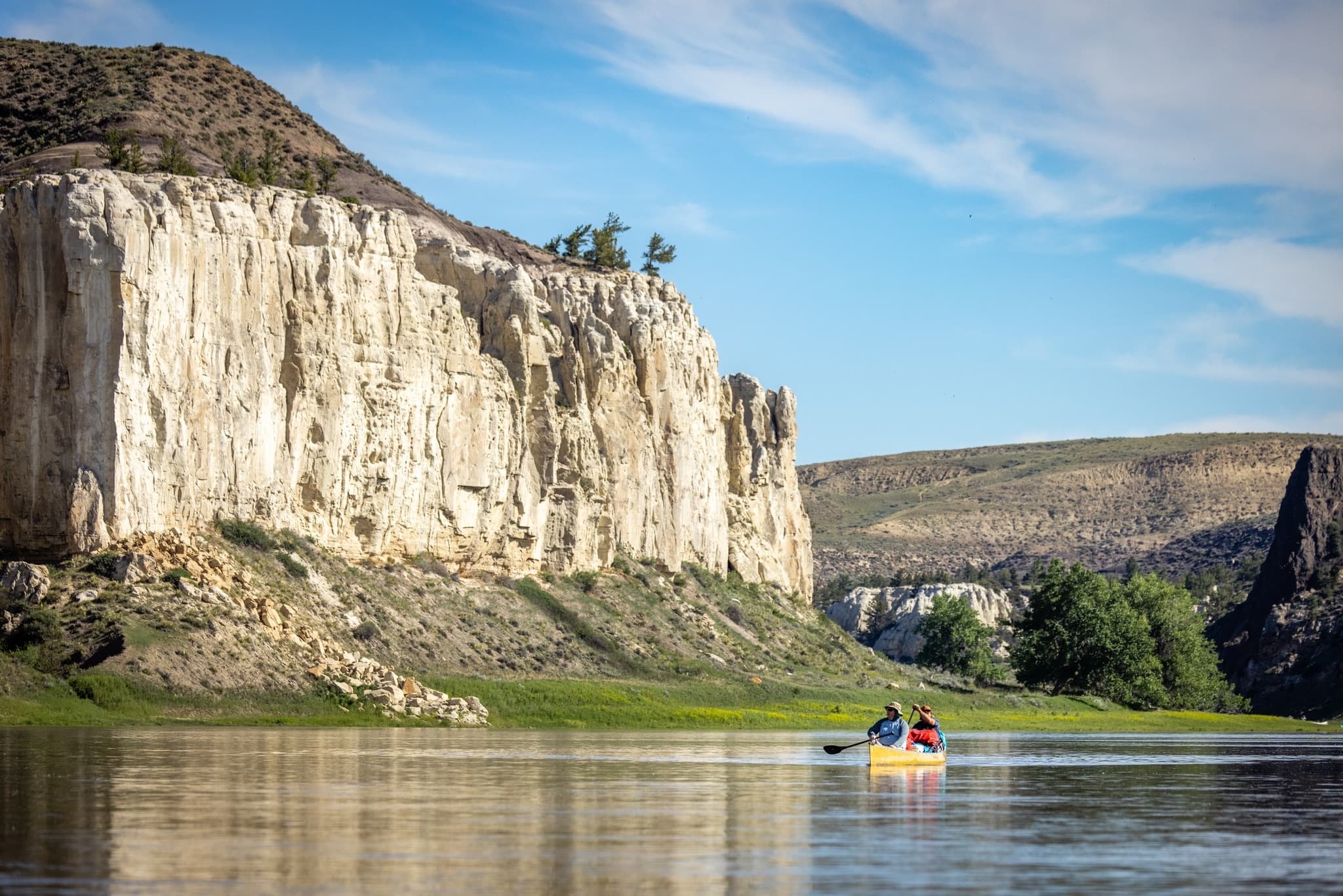
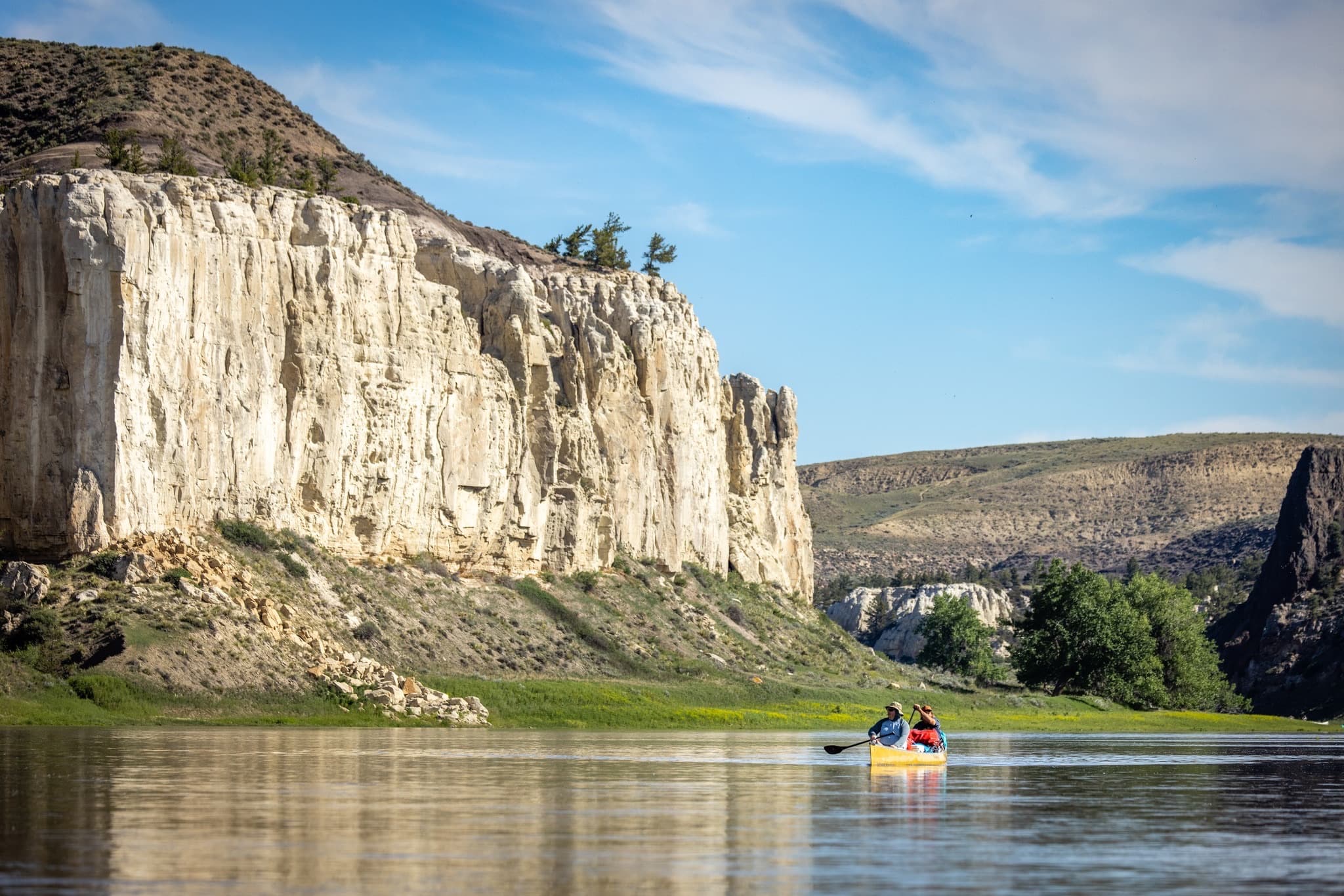
Our Canoe trip May 2026
Curated by PaddleWays
88.7 mi flatwater route on the Missouri River in Montana
Level right now
Route facts
About this route
The Upper Missouri River White Cliffs section is a spectacular 88.7-mile flatwater canoe trip through one of Montana's most scenic landscapes.
This stretch begins in Fort Benton and ends at Judith Landing, offering paddlers a journey through history and breathtaking natural beauty.
The White Cliffs area is known for its stunning sandstone formations that tower above the river, creating a dramatic backdrop for your adventure.
Paddlers will encounter actual Lewis & Clark campsites, tepee rings, petroglyphs, and can hike to spectacular off-river locations, including a slot canyon and the famed Hole in the Wall.
This section is part of the Upper Missouri River Breaks National Monument and follows the Lewis & Clark National Historic Trail.
Put-in and take-out
Put-in
Take-out
Hazards
No hazards are marked on this route yet. That is not the same as none being there: if you find one, report it for the next paddler.
From the community
Real trips from PaddleWays paddlers who ran this route: how the flows were, and what to watch for.
Loading trip reports
Roxanne D.
7,230 cfs at Fort Benton
Our Canoe trip May 2026
The gauges near this route and the forecast where it starts, so you can pick your day.
No forecast data available.
Same water
The other curated routes on the Missouri River, each with how it is running now.
RouteFlatwater
RouteFlatwater
RouteFlatwater
RouteFlatwater
RouteFlatwater
RouteClass II
Close by
Curated routes on other waters within an hour or so, nearest first.
on Belt Creek · 48 mi away
RouteClass II
PaddleWays gives you everything you need to plan smarter, paddle better, and own every trip from first launch to takeout.
