Belt Creek
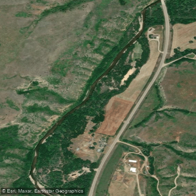
Belt Creek
- Boat Ramps
- 2
- Access Points
- 13
- Campsites
- 3
Belt Creek is a scenic waterway in central Montana, originating in the Little Belt Mountains and flowing northward for approximately 80 miles before joining the Missouri River near the town of Belt. This picturesque creek carves its way through limestone canyons and forested valleys, offering paddlers a mix of scenic flatwater and exciting whitewater sections.
The creek features several popular paddling runs, with the most notable being the Sluice Boxes section through Sluice Boxes State Park. This 8-10 mile stretch flows through towering limestone cliffs and offers class II-III rapids, making it a favorite among intermediate paddlers. Upstream, the 19-mile Neihart Section from Sec 15 to Monarch provides a longer class II-III run. Below the park, the 14-16 mile Monarch to Riceville section offers more moderate class II-III whitewater.
Belt Creek's difficulty ranges from calm flatwater to challenging class III rapids, requiring solid whitewater skills in some sections. The best paddling season is typically from May through early July when snowmelt provides optimal water levels. Paddlers should check flow rates, as the creek can become too low later in summer.
The creek's corridor supports diverse wildlife, including trout, eagles, and bighorn sheep. Paddlers may spot abandoned mines and old railroad grades, remnants of the area's mining history. Key landmarks include the dramatic limestone cliffs of Sluice Boxes State Park and the historic mining towns of Monarch and Neihart.
Primary access points include put-ins near Monarch and takeouts at Riceville Bridge and within Sluice Boxes State Park. The nearby town of Belt offers services, while Great Falls is about 30 miles north.
Safety considerations include swift currents, potential strainers, and limited cell service in remote sections. Paddlers should be prepared for self-rescue and check regulations for Sluice Boxes State Park. While most trips are day runs, the various sections can be combined for multi-day adventures, with camping available at nearby Forest Service campgrounds.
Belt Creek offers a quintessential Montana paddling experience, blending scenic beauty, exciting whitewater, and rich local history.
Water access, boat ramps & amenities
Learn how to get on Belt Creek. Uncover great paddling access points, boat ramps, and all the facilities you need for an unforgettable day on the water. Some locations shown may border or include private property. Always check property boundaries and applicable regulations before visiting. PaddleWays's Public & Private Land layer can help you plan your access with confidence.
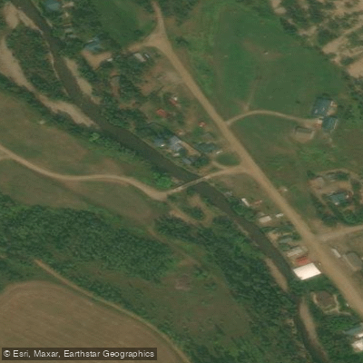
Jamestown Bridge Access
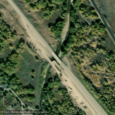
Highway 87-89 Access
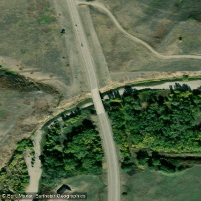
Highway 89 Access
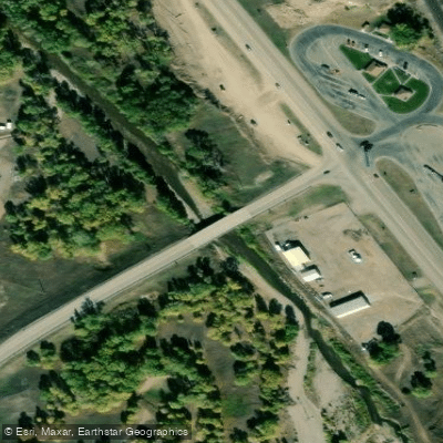
Armington Junction Access
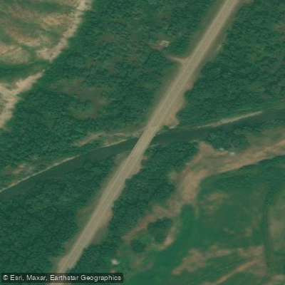
Highway 89 Access
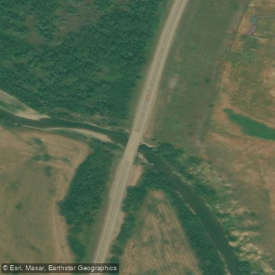
Highway 89 Access
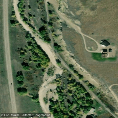
Highway 89 Access
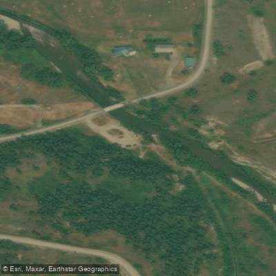
Sluice Boxes State Park Access
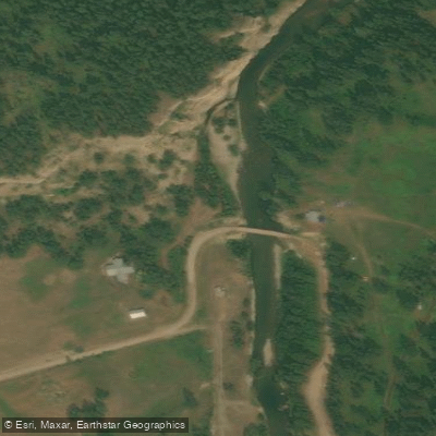
Sluice Boxes State Park Trailhead Access
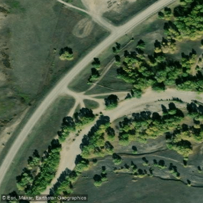
Highway 89 Access
Paddle smarter with real-time insights
Whether you're en route and conditions shift or you're looking for the best spot based on current flows, we enable you to make informed decisions on the fly.








Find Places to Paddle

Over 400,000 Places to Paddle
Every user gets free access to launch points, boat ramps, and public property parcels.


Water and weather conditions (10 day forecast)
See the best times to paddle Belt Creek and check the forecast before you go.
Belt Creek near Monarch MT
All Flow Stations
Paddling near Belt Creek

Missouri River
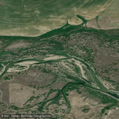
Sun River
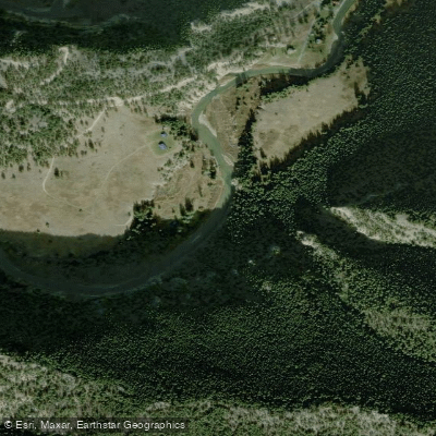
Smith River
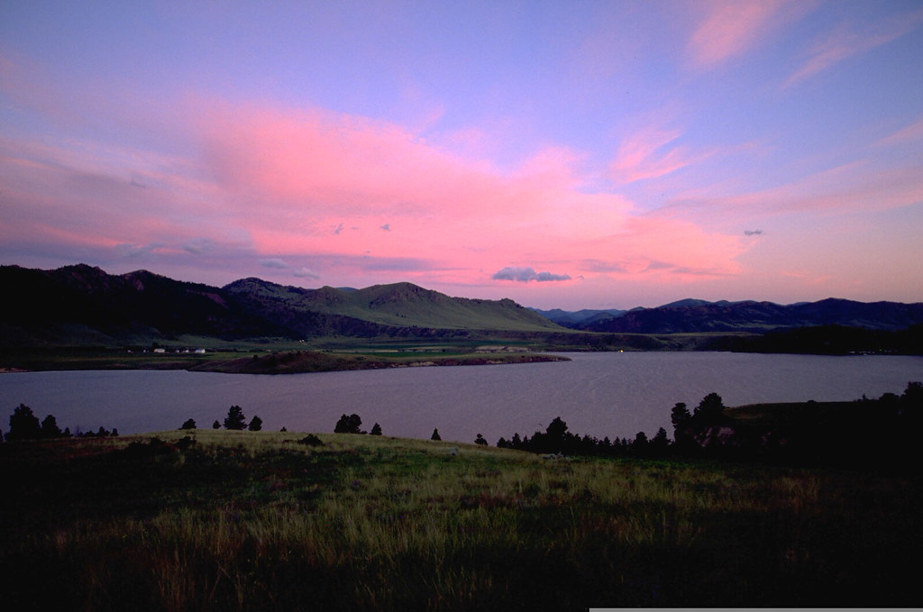
Holter Lake
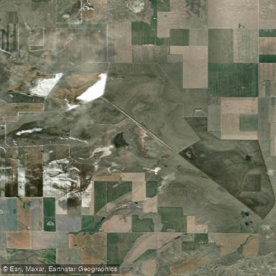
Benton Lake
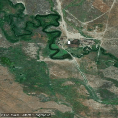
Little Muddy Creek
Marias River
Dearborn River
Freezeout Lake
Explore Montana waters
Top paddling waters
Popular Cities
Loading popular cities...
Explore near Belt Creek
Access points
- Sluice Boxes State Park Trailhead Boat Ramp
- Sluice Boxes State Park Trailhead Boat Ramp
- Jamestown Bridge Access
- Highway 87-89 Access
- Highway 89 Access
- Armington Junction Access
- Highway 89 Access
- Highway 89 Access
- Highway 89 Access
- Sluice Boxes State Park Access
- Sluice Boxes State Park Trailhead Access
- Highway 89 Access
- All 74 spots
Nearby waters
More in Montana

Smarter Paddling Starts in the App.
Paddleways gives you everything you need to plan smarter, paddle better, and own every trip from first launch to takeout.