The Kootenai River is a magnificent waterway that winds its way through the rugged landscapes of British Columbia, Montana, and Idaho. This powerful river originates in Kootenay National Park in British Columbia, flowing south into Montana before turning northwest into Idaho and eventually back into Canada.
Known for its scenic beauty and diverse paddling opportunities, the Kootenai offers everything from calm flatwater sections to exhilarating whitewater rapids. The river's character changes dramatically along its course, providing a range of experiences for paddlers of all skill levels.
In Montana, the section from Libby to Troy is particularly popular, featuring a mix of Class I to IV rapids over 20 miles. This stretch includes the impressive Kootenai Falls, where the river drops 90 feet in less than a mile, creating a mandatory portage for most paddlers and a thrilling challenge for expert kayakers.
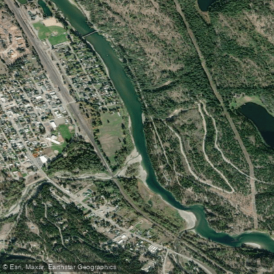
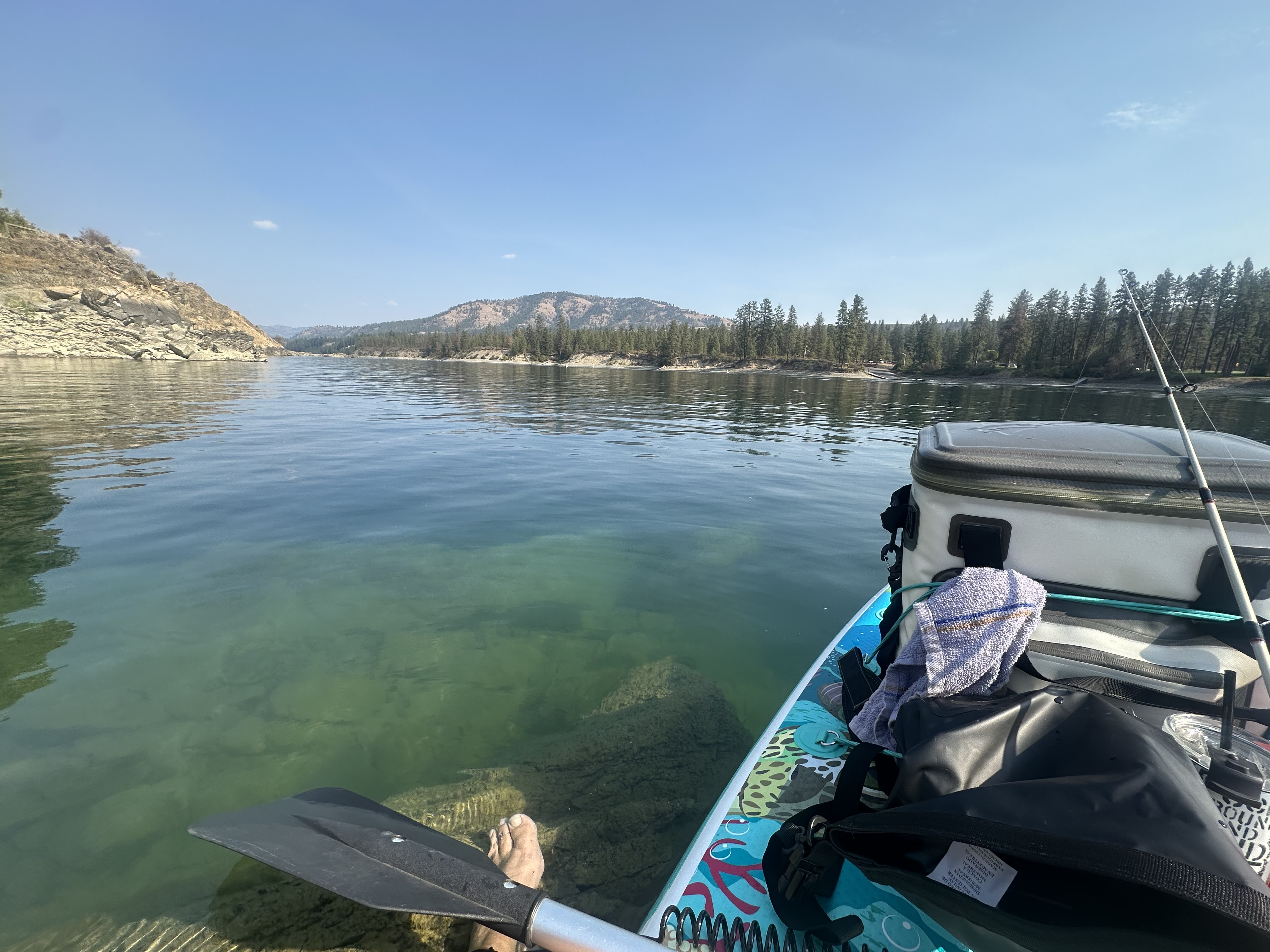
As the Kootenai enters Idaho, it offers both calm stretches and exciting whitewater. The 19-mile Idaho Whitewater Section near Bonners Ferry provides Class III-IV rapids, best suited for experienced paddlers. Downstream, the river widens and slows, offering excellent opportunities for fishing and leisurely floats.
The difficulty of the Kootenai ranges from flatwater to Class IV rapids, making it suitable for beginners in some sections and a test for experts in others. Novice paddlers can enjoy the calm stretches near Bonners Ferry, while advanced kayakers seek out the challenges of Kootenai Falls and the Idaho Whitewater Section.
Spring and early summer typically offer the best conditions for whitewater enthusiasts, with high water levels from snowmelt. However, the Kootenai rarely runs out of water, ensuring consistent paddling conditions throughout much of the year. Fall is particularly favored for fishing trips, especially in the Idaho sections.
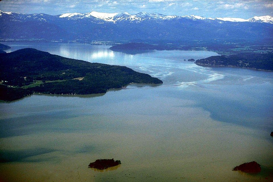
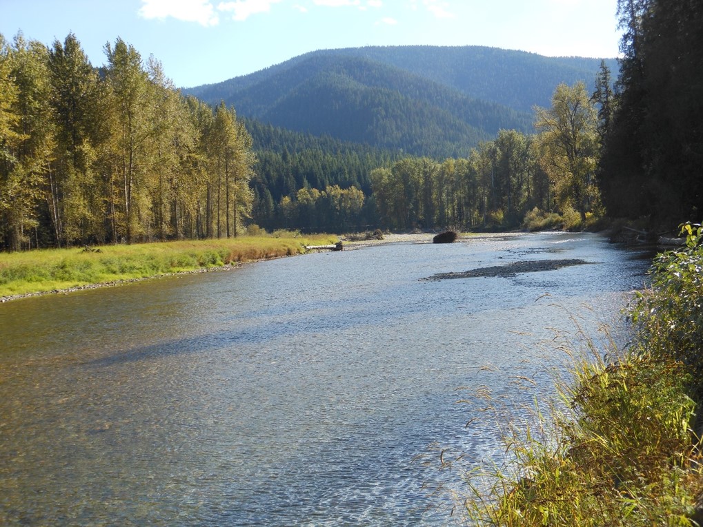
The river corridor is home to diverse wildlife, including bald eagles, osprey, herons, and deer. Lucky paddlers might spot bears or moose along the more remote stretches. The surrounding landscape transitions from the Canadian Rockies to dense forests and eventually to the wider valleys of northern Idaho.
Notable landmarks include Kootenai Falls and the swinging bridge near Libby, Montana, both popular tourist attractions. The Kootenai National Wildlife Refuge near Bonners Ferry offers excellent wildlife viewing opportunities.
Key access points include Libby and Troy in Montana, and Bonners Ferry in Idaho. These towns serve as gateways to the river, offering amenities and services for paddlers.
The river's importance to the region is both historical and contemporary, having been a vital transportation route for indigenous peoples and early settlers, and now serving as a recreational and ecological resource.
Safety is paramount on the Kootenai, particularly in its more challenging sections. Paddlers should be aware of rapidly changing water levels, especially below dams, and always wear appropriate safety gear. Some sections, like Kootenai Falls, require expert skills and should not be attempted by inexperienced paddlers.
For those seeking a multi-day adventure, the Kootenai offers several options. A popular trip runs from Libby, Montana to Bonners Ferry, Idaho, covering approximately 90 miles over several days. This journey showcases the river's diverse character, from exciting rapids to serene floats, and allows paddlers to fully immerse themselves in the stunning scenery of the Northwest.
Whether you're seeking heart-pounding whitewater, world-class fishing, or simply a peaceful float through breathtaking landscapes, the Kootenai River offers a paddling experience that will leave you in awe of nature's power and beauty.