Rock Creek
Rock Creek
- Boat Ramps
- 6
- Access Points
- 6
- Campsites
- 12
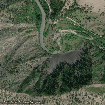
Rock Creek originates in the Sapphire Mountains of southwestern Montana, flowing northward for approximately 52 miles through Granite and Missoula Counties before joining the Clark Fork River near Clinton. This freestone stream carves through the Lolo National Forest for much of its length, creating a corridor of exceptional natural beauty between the Sapphire Range to the east and the John Long Mountains to the west. The creek supports one of Montana's most productive trout fisheries, with populations exceeding 2,000 fish per mile in certain sections—among the highest densities in the state. Seven species inhabit these waters: westslope cutthroat, rainbow, brown, brook, and bull trout, along with cutbow hybrids and Rocky Mountain whitefish. This remarkable biodiversity stems from the creek's cold, clean water and abundant macroinvertebrate populations thriving beneath its cobbled substrate.
Rock Creek Road parallels the waterway for its entire length, providing exceptional access through numerous Forest Service campgrounds and fishing access sites. The upper reaches above Gillies Bridge flow through open valley terrain with braided channels, while the middle section from Norton Campground to Harry's Flat features the dramatic Dalles area—a narrow canyon with Class II-III rapids and large boulder gardens. Below the Dalles, the creek widens and mellows as it approaches the Clark Fork confluence.
Floating is permitted only from the headwaters to June 30 annually, protecting the fishery during peak summer use. The Dalles section presents technical whitewater challenges requiring intermediate to advanced skills, with swift currents, tight channels, and significant woody debris hazards. The upper and lower sections offer easier floating conditions suitable for experienced beginners during appropriate water levels, typically late May through June.
The creek corridor supports diverse wildlife including moose, elk, mule deer, black bears, and bighorn sheep. Bald eagles and ospreys patrol the waters, while the riparian zone features ponderosa pine, Douglas fir, and cottonwood galleries. Spring wildflower displays include arrowleaf balsamroot and lupine across the surrounding hillsides.
Rock Creek's mining heritage dates to the 1860s silver boom, with the nearby Granite Ghost Town State Park preserving this history. The area also holds significance for Salish and Ktunaxa peoples, who historically used the drainage as a travel corridor.
The creek experiences legendary insect hatches, particularly the salmonfly emergence beginning in late May, drawing anglers worldwide. Golden stoneflies, caddis, pale morning duns, and terrestrials provide consistent surface action through fall. Spring runoff typically peaks in May, with optimal fishing and floating conditions from June through October. Winter access remains possible on lower sections, though road conditions can be challenging.
Anglers must observe Montana fishing regulations, with special catch-and-release rules for bull trout. The no-float period from July 1 through November 30 strictly prohibits watercraft use, making Rock Creek primarily a wade-fishing and limited-season paddling destination.
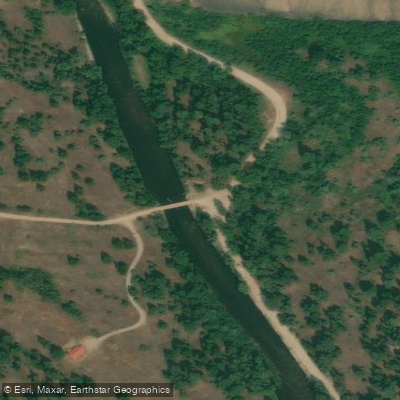
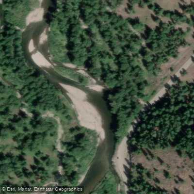
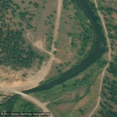
Water access, boat ramps & amenities
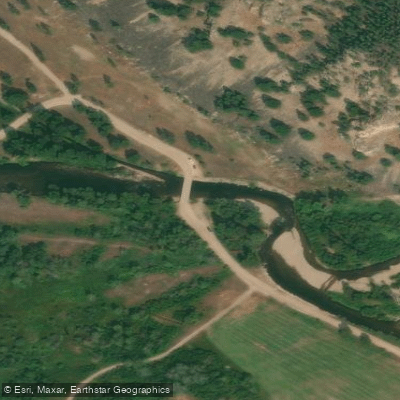
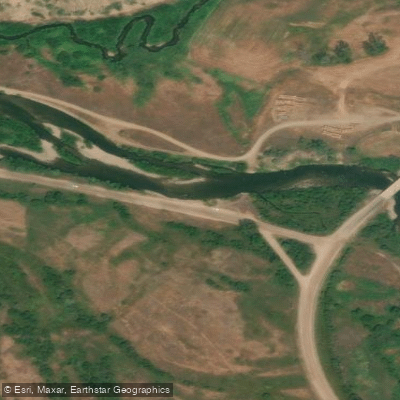
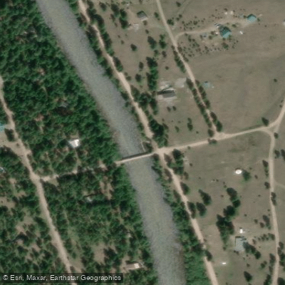
Learn how to get on Rock Creek. Uncover great paddling access points, boat ramps, and all the facilities you need for an unforgettable day on the water. Some locations shown may border or include private property. Always check property boundaries and applicable regulations before visiting. PaddleWays's Public & Private Land layer can help you plan your access with confidence.
Paddle smarter with real-time insights
Whether you're en route and conditions shift or you're looking for the best spot based on current flows, we enable you to make informed decisions on the fly.








Find Places to Paddle

Over 400,000 Places to Paddle
Every user gets free access to launch points, boat ramps, and public property parcels.


Water and weather conditions (10 day forecast)
See the best times to paddle Rock Creek and check the forecast before you go.
Rock Creek near Clinton MT
All Flow Stations
Paddling near Rock Creek
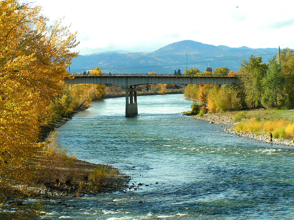
Clark Fork
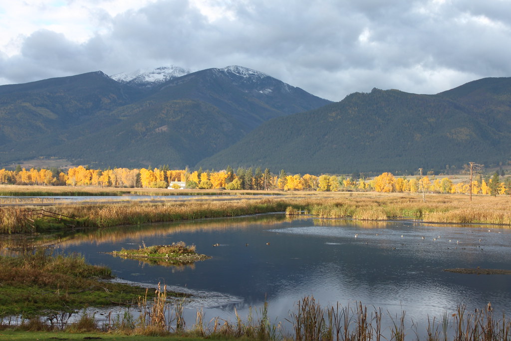
Bitterroot River
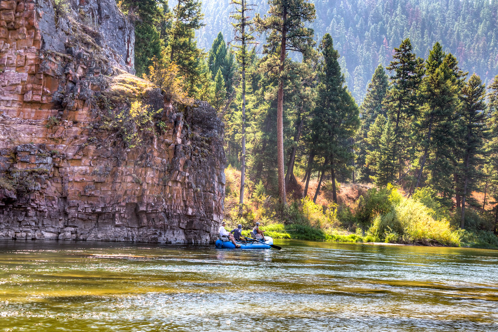
Blackfoot River
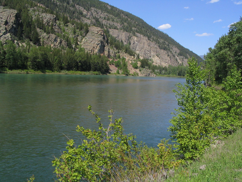
Flathead River
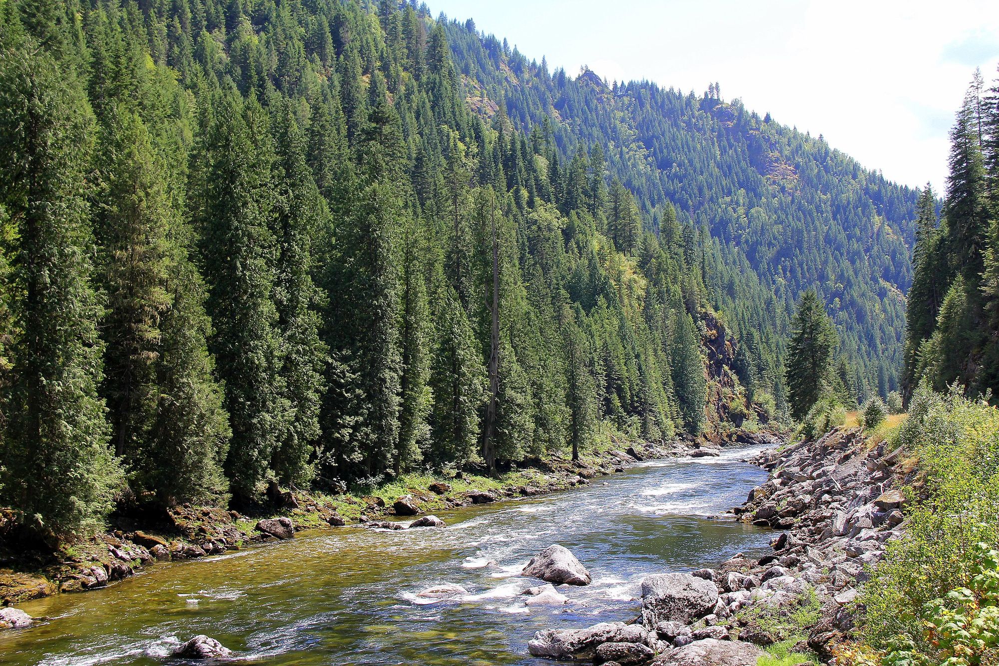
Lochsa River
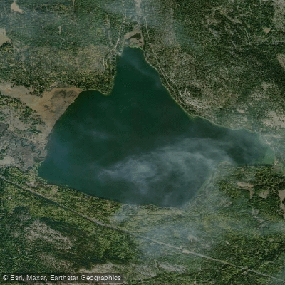
Placid Lake
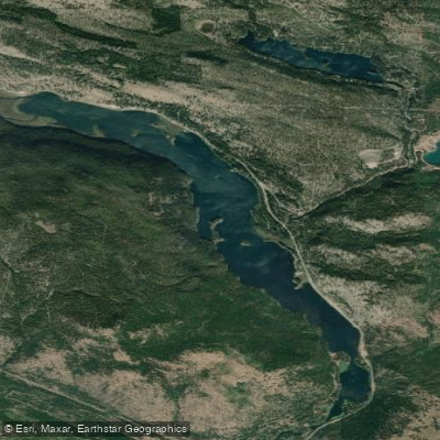
Salmon Lake
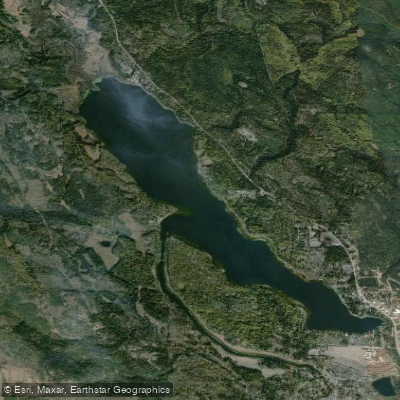
Seeley Lake
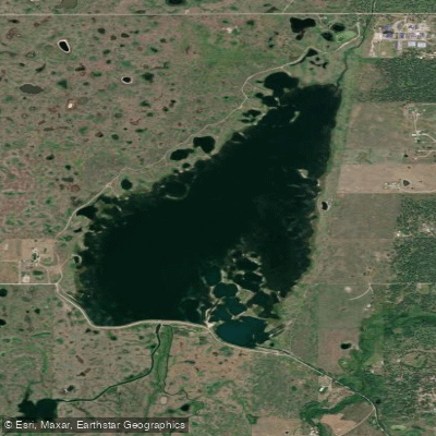
Kicking Horse Reservoir
Explore Montana waters
Top paddling waters
Popular Cities
Loading popular cities...
Explore near Rock Creek
Access points
Nearby waters
More in Montana

Smarter Paddling Starts in the App.
Paddleways gives you everything you need to plan smarter, paddle better, and own every trip from first launch to takeout.