Flathead River
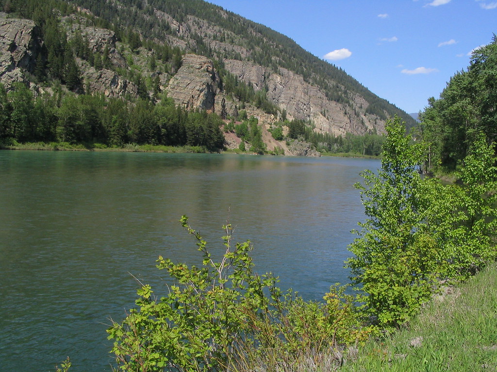
Flathead River
- Boat Ramps
- 7
- Access Points
- 9
- Campsites
- 7
The Flathead River system in northwest Montana is a paddler's paradise, offering a diverse range of experiences from serene floats to heart-pounding whitewater. This iconic river, with its three main forks - North, Middle, and South - flows through some of the most pristine wilderness in the lower 48 states, including Glacier National Park and the Bob Marshall Wilderness Complex.
The North Fork, originating at the US-Canadian border, provides a scenic 62-mile journey suitable for intermediate paddlers. This stretch offers Class II-III rapids, crystal-clear waters, and stunning views of Glacier National Park.
The Middle Fork, often considered the crown jewel of the system, begins in the heart of the Bob Marshall Wilderness and features more challenging whitewater, particularly in its upper sections. The South Fork, emerging from the Bob Marshall Wilderness, is renowned for its remote, pristine character and excellent fishing opportunities.
Difficulty levels vary widely across the system, ranging from calm flatwater sections suitable for beginners to expert-level Class IV rapids in areas like the Buffalo Rapids section below Kerr Dam. The Middle Fork's Schafer Meadows to Bear Creek run is particularly challenging, recommended only for advanced paddlers comfortable with Class IV whitewater in a wilderness setting.
The best time to paddle the Flathead depends on your goals and skill level. Spring snowmelt (May-June) brings high water and more challenging conditions, while late summer (July-August) offers lower water levels ideal for fishing and more relaxed floating. Fall can provide a magical experience with fewer crowds and beautiful foliage, though water levels can be quite low.
Wildlife is abundant along the Flathead, with opportunities to spot bears, moose, elk, and a variety of bird species. The river corridor is also home to diverse plant life, including old-growth forests and vibrant wildflower meadows. Notable landmarks include the Walton Goat Lick on the Middle Fork, where mountain goats gather to lick mineral deposits, and the impressive Hungry Horse Dam on the South Fork.
The river system passes through or near several small towns, including West Glacier, Columbia Falls, and Hungry Horse, which serve as important access points and resupply locations for multi-day trips.
The Flathead River holds significant cultural importance for the Confederated Salish and Kootenai Tribes, whose reservation encompasses the lower portion of the river. Paddlers should be respectful of tribal lands and obtain necessary permits when required.
Safety considerations are paramount on the Flathead. Cold water temperatures, even in summer, necessitate proper gear and preparation. Log jams and strainers are common hazards, particularly on the North and South Forks. Paddlers should be aware of their skill levels and choose appropriate sections. Many areas of the river are remote, with limited cell phone coverage, so proper planning and self-reliance are essential.
For those seeking a multi-day adventure, the North Fork offers excellent opportunities for 3-4 day trips from the Canadian border to Blankenship Bridge. The Middle Fork's wilderness section from Schafer Meadows to Bear Creek provides an epic 26-mile backcountry experience for skilled paddlers. On the South Fork, a popular multi-day trip runs from the Young's Creek and Danaher Creek confluence to the Mid Creek takeout, offering a perfect blend of scenic floating and fishing.
Whether you're seeking a peaceful float through pristine wilderness or an adrenaline-pumping whitewater adventure, the Flathead River system offers something for every paddler, making it one of the premier river destinations in the American West.
Water access, boat ramps & amenities
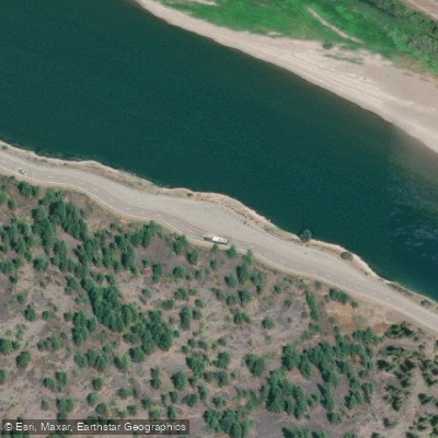
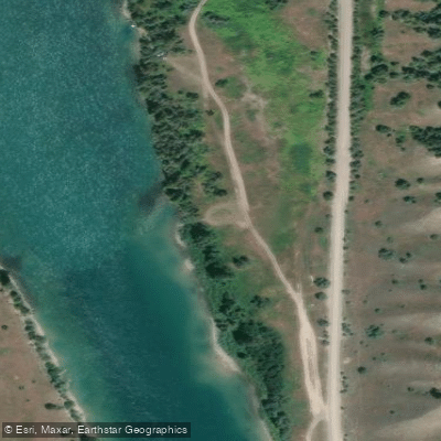
Learn how to get on Flathead River. Uncover great paddling access points, boat ramps, and all the facilities you need for an unforgettable day on the water. Some locations shown may border or include private property. Always check property boundaries and applicable regulations before visiting. PaddleWays's Public & Private Land layer can help you plan your access with confidence.
Paddle smarter with real-time insights
Whether you're en route and conditions shift or you're looking for the best spot based on current flows, we enable you to make informed decisions on the fly.








Find Places to Paddle

Over 400,000 Places to Paddle
Every user gets free access to launch points, boat ramps, and public property parcels.


Water and weather conditions (10 day forecast)
See the best times to paddle Flathead River and check the forecast before you go.
Flathead River at Columbia Falls MT
All Flow Stations
Paddling near Flathead River
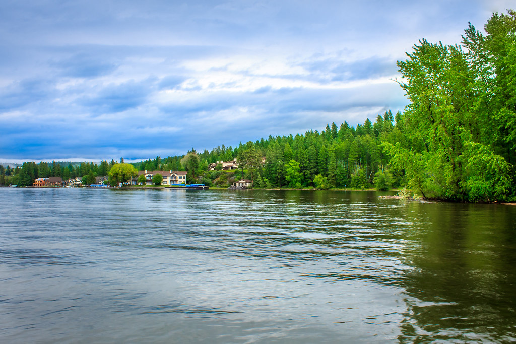
Flathead Lake
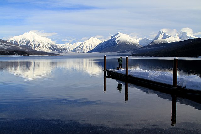
Lake McDonald
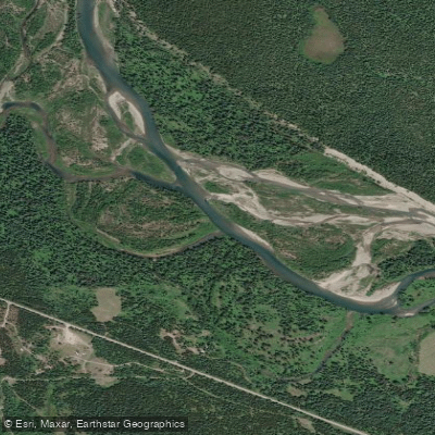
North Fork Flathead River
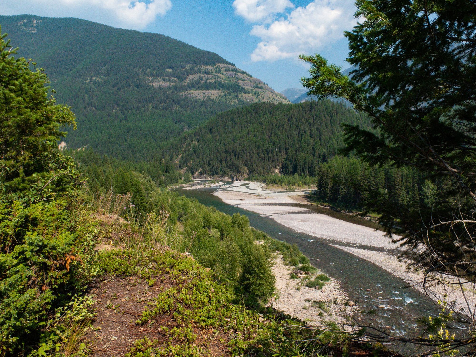
Middle Fork Flathead River
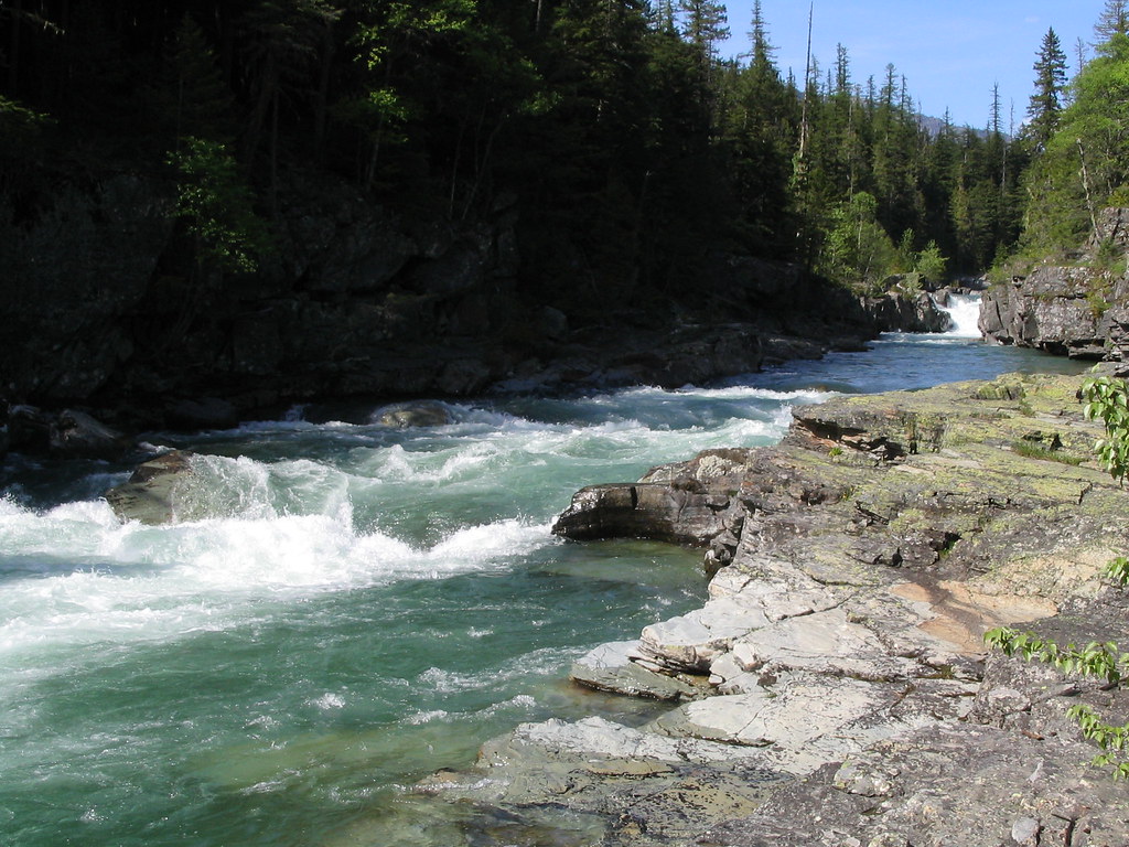
McDonald Creek
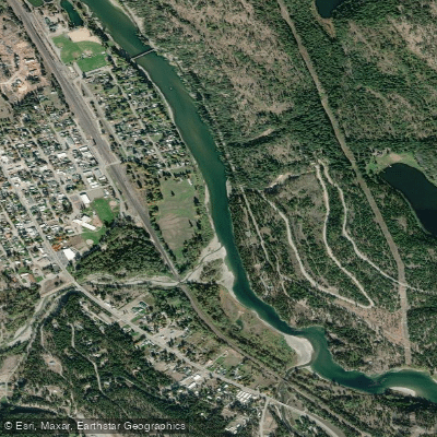
Kootenai River
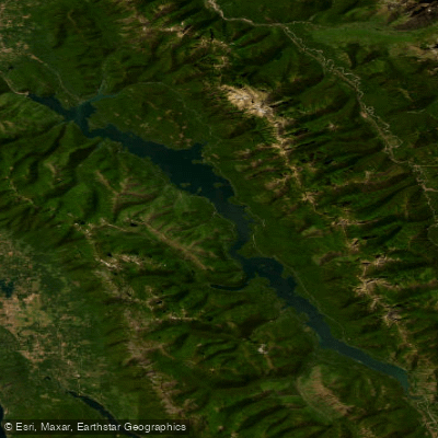
Hungry Horse Reservoir
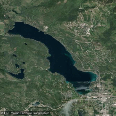
Whitefish Lake
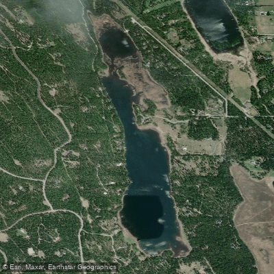
Blanchard Lake
Explore Montana waters
Top paddling waters
Popular Cities
Loading popular cities...
Explore near Flathead River
Access points
Nearby waters
More in Montana

Smarter Paddling Starts in the App.
Paddleways gives you everything you need to plan smarter, paddle better, and own every trip from first launch to takeout.