Percha Creek
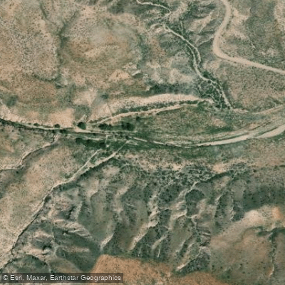
Percha Creek
- Boat Ramps
- 0
- Access Points
- 0
- Campsites
- 2
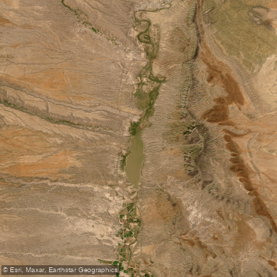
Percha Creek is a small tributary of the Rio Grande in south-central New Mexico. Originating in the Black Range mountains, it flows eastward for approximately 30 miles before joining the Rio Grande near the town of Caballo. The creek passes through Hillsboro and Kingston as it descends from the mountains through rocky canyons and cottonwood-lined valleys.
While not known as a major paddling destination, Percha Creek offers some limited opportunities for experienced whitewater kayakers during spring runoff, typically in May and early June. The upper reaches contain technical Class III-IV rapids as the creek drops steeply through narrow canyons. However, water levels are often too low for boating outside of the brief snowmelt season.
The most notable paddling section is a 4-mile stretch known as the Percha Box, accessible via a hiking trail near Hillsboro. This rugged canyon features towering rock walls, pools, and small waterfalls. Extreme caution is required as the Box contains dangerous strainers and undercut rocks. Only expert paddlers should attempt this section at optimal flows.
Below the Box, Percha Creek mellows considerably as it approaches the Rio Grande valley. The lower reaches provide scenic flatwater paddling when water levels permit, with cottonwood groves and desert landscapes. Wildlife like mule deer, coyotes, and various bird species can often be spotted along the banks.
The primary Percha Dam State Park, where the creek joins the Rio Grande. This small park offers camping, picnicking, and fishing opportunities. The historic mining towns of Hillsboro and Kingston provide additional points of interest nearby, offering a glimpse into the area's frontier past.
Paddlers should be aware that much of Percha Creek's course passes through private land. Respect property rights and obtain permission before accessing the creek outside of public areas. As with all desert waterways, check weather forecasts carefully, as flash flooding can occur rapidly after rainstorms. The creek's remote nature and lack of cell service in many areas also demands self-sufficiency and proper safety precautions.
While not a premier paddling destination, Percha Creek's rugged beauty and glimpses of Old West history make it an intriguing waterway for adventurous paddlers to explore during the brief window when conditions align.
Water access, boat ramps & amenities
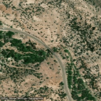
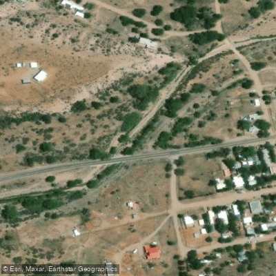
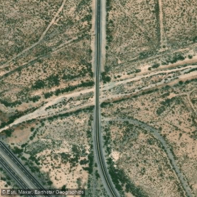
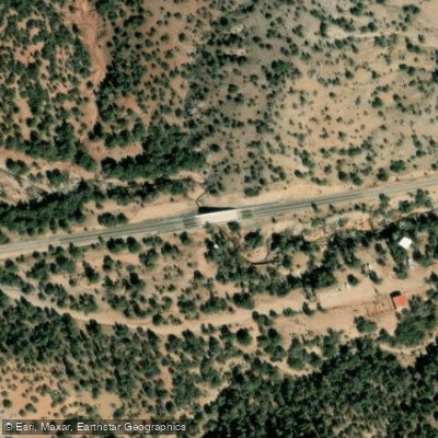
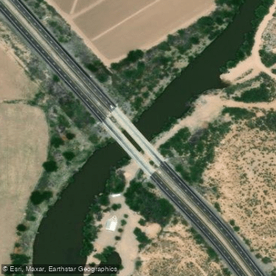
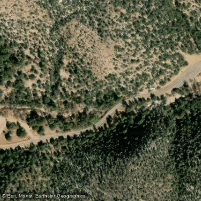
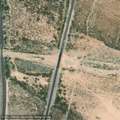
Learn how to get on Percha Creek. Uncover great paddling access points, boat ramps, and all the facilities you need for an unforgettable day on the water. Some locations shown may border or include private property. Always check property boundaries and applicable regulations before visiting. PaddleWays's Public & Private Land layer can help you plan your access with confidence.
Paddle smarter with real-time insights
Whether you're en route and conditions shift or you're looking for the best spot based on current flows, we enable you to make informed decisions on the fly.








Find Places to Paddle

Over 400,000 Places to Paddle
Every user gets free access to launch points, boat ramps, and public property parcels.


Water and weather conditions (10 day forecast)
See the best times to paddle Percha Creek and check the forecast before you go.
No forecast data available.

Explore New Mexico waters
Top paddling waters
Popular Cities
Loading popular cities...
Explore near Percha Creek
Access points
Nearby waters
More in New Mexico

Smarter Paddling Starts in the App.
Paddleways gives you everything you need to plan smarter, paddle better, and own every trip from first launch to takeout.