The Rio Grande, one of North America's most iconic rivers, flows for nearly 1,900 miles from its headwaters in the San Juan Mountains of Colorado through New Mexico and along the Texas-Mexico border to the Gulf of Mexico. This majestic waterway offers a diverse range of paddling experiences, from serene floats through scenic canyons to heart-pounding whitewater adventures.
In Colorado, the upper reaches of the Rio Grande provide excellent opportunities for both novice and experienced paddlers. The stretch from Wagon Wheel Gap to South Fork offers a scenic Class II run through the San Juan Mountains, perfect for families and beginners. For more advanced paddlers, the Upper Box section near Creede presents challenging Class III-IV rapids amidst stunning mountain scenery.
As the river enters New Mexico, it carves through the impressive Rio Grande Gorge, creating some of the state's most exhilarating whitewater. The Taos Box, a 16-mile stretch of continuous Class IV rapids, is considered the crown jewel of New Mexico paddling. This section, running from John Dunn Bridge to Taos Junction Bridge, offers experienced paddlers a full day of intense rapids and breathtaking scenery within 800-foot deep canyon walls.
For those seeking a more relaxed experience, the Orilla Verde Recreation Area provides a scenic float through the Rio Grande del Norte National Monument. This section offers Class II rapids suitable for families and beginners, with opportunities to spot wildlife and enjoy the lush riparian habitat.
Further south, the river mellows as it flows through the Alamosa National Wildlife Refuge in Colorado, providing excellent opportunities for flatwater paddling and wildlife viewing. Over 200 species of birds call this area home, making it a paradise for birdwatchers and nature enthusiasts.
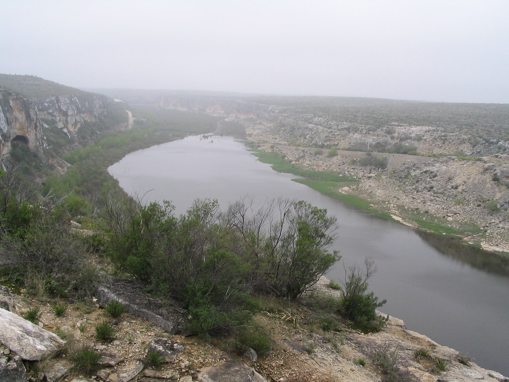
In Texas, the Rio Grande takes on a different character as it winds through Big Bend National Park. Here, paddlers can embark on multi-day wilderness trips through remote canyons like Santa Elena, Mariscal, and Boquillas. These trips offer a unique blend of easy paddling, stunning desert scenery, and opportunities to explore side canyons and hot springs.
The best time to paddle the Rio Grande varies by section. In Colorado and northern New Mexico, the spring snowmelt (typically May to June) provides the highest water levels, while late summer and fall offer more moderate flows. In Texas, the river is generally paddleable year-round, with spring and fall offering the most pleasant temperatures.
Safety considerations are paramount on the Rio Grande. Paddlers should always check current water levels and weather conditions before embarking on a trip. In the more remote sections, such as those in Big Bend, paddlers must be self-sufficient and prepared for wilderness camping. Permits are required for overnight trips in many areas.
The Rio Grande holds significant cultural and historical importance. It has been a lifeline for indigenous peoples for thousands of years and played a crucial role in the settlement of the American Southwest. Today, it continues to be an essential water source for millions of people and serves as an international border between the United States and Mexico.
Whether you're seeking an adrenaline-pumping whitewater adventure, a peaceful float through pristine wilderness, or a multi-day journey through dramatic desert canyons, the Rio Grande offers a paddling experience for every skill level and interest. Its diverse ecosystems, rich history, and stunning landscapes make it one of North America's premier paddling destinations.