James River
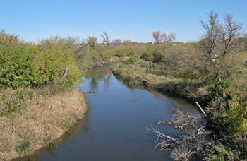
James River
- Boat Ramps
- 22
- Access Points
- 27
- Campsites
- 13
The James River, also known as the Jim River, is a major waterway flowing through eastern North Dakota and South Dakota. Originating near Jamestown, North Dakota, it meanders southward for approximately 710 miles before joining the Missouri River near Yankton, South Dakota. As the longest unnavigable river in North America, the James River offers a unique paddling experience through the heart of the Great Plains.
The river's flow is generally slow and meandering, making it suitable for novice to intermediate paddlers. Most sections feature flatwater conditions with occasional Class I rapids, especially after periods of heavy rain. The river is typically paddleable from spring through fall, with the best water levels occurring in late spring and early summer.
Several sections of the James River are popular for day trips and multi-day excursions. In North Dakota, a newly developed 2-mile urban water trail in Jamestown offers an accessible paddling experience with kayak docks at Nickeus Park and Anton Klaus Park. In South Dakota, the 12-mile stretch from Mitchell to 416th Avenue is a favorite among paddlers, taking about 4 hours to complete.
The James River Valley supports a diverse ecosystem. Paddlers may encounter wildlife such as geese, ducks, pelicans, great blue herons, egrets, hawks, owls, deer, raccoons, and beavers. The river is also home to various fish species, including walleye, northern pike, and catfish. However, paddlers should be aware of the presence of invasive Asian carp, which can leap from the water when disturbed by boat motors.
Key access points include Jamestown (ND), Aberdeen (SD), Huron (SD), Mitchell (SD), and Yankton (SD). These cities offer amenities and serve as convenient starting or ending points for river trips. The river passes through a mix of rural and urban landscapes, providing glimpses of the region's agricultural heritage and small-town charm.
Safety considerations include checking water levels before trips, as the river can become quite shallow during dry periods. Paddlers should also be prepared for wind, as the open prairie landscape offers little protection from gusts. Multi-day trips are possible, but careful planning is necessary due to limited designated camping areas along the river.
The James River played a significant role in the region's history, serving as a transportation route for Native American tribes and early settlers. Today, it continues to be an important resource for agriculture, recreation, and wildlife habitat in the Dakotas. For those seeking a peaceful paddle through the heartland of America, the James River offers a serene and scenic journey, allowing explorers to experience the natural beauty and cultural heritage of the Northern Great Plains.
Water access, boat ramps & amenities
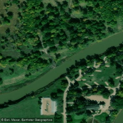
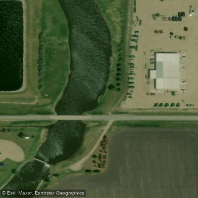
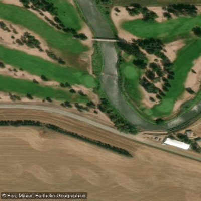
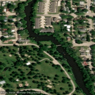
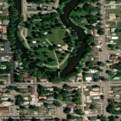
Learn how to get on James River. Uncover great paddling access points, boat ramps, and all the facilities you need for an unforgettable day on the water. Some locations shown may border or include private property. Always check property boundaries and applicable regulations before visiting. PaddleWays's Public & Private Land layer can help you plan your access with confidence.
Paddle smarter with real-time insights
Whether you're en route and conditions shift or you're looking for the best spot based on current flows, we enable you to make informed decisions on the fly.








Find Places to Paddle

Over 400,000 Places to Paddle
Every user gets free access to launch points, boat ramps, and public property parcels.


Water and weather conditions (10 day forecast)
See the best times to paddle James River and check the forecast before you go.
JAMES RIVER ABOVE ARROWWOOD LAKE NR KENSAL, ND
All Flow Stations
Paddling near James River
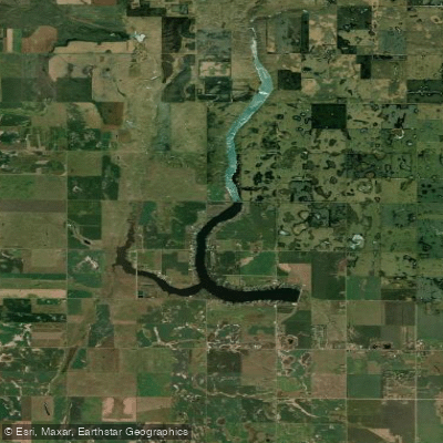
Richmond Lake
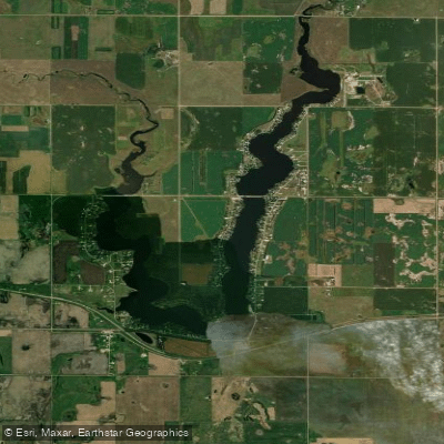
Lake Parmley
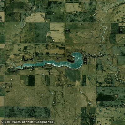
Willow Creek Lake
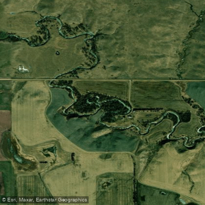
Elm River
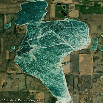
North Scatterwood Lake
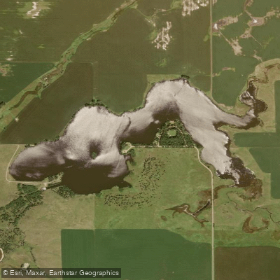
Amsden Lake
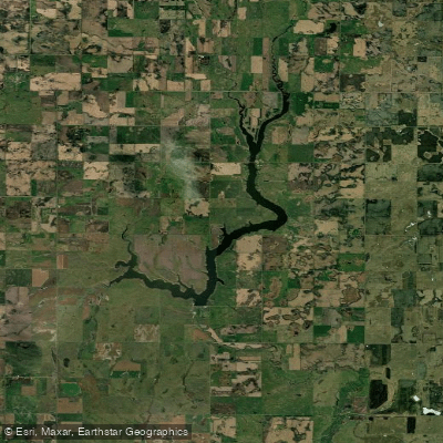
Elm Lake
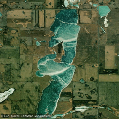
South Scatterwood Lake
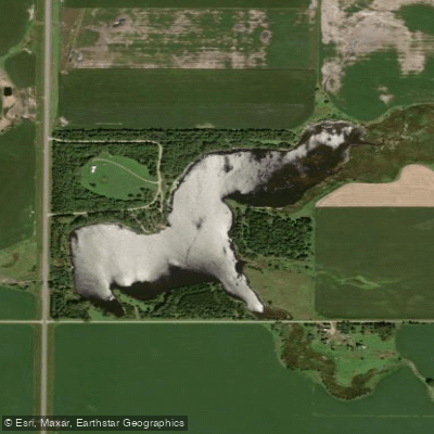
Pierpont Lake
Explore North Dakota waters
Top paddling waters
Popular Cities
Loading popular cities...
Explore near James River
Access points
- K.O. Lee Boat Ramp
- K.O. Lee Public Water Access James River
- Spink County Dam Boat Ramp
- James River
- James River
- Ulmer Wilderness Boat Ramp
- James River Forestburg
- Ulmer Wilderness Public Water Access
- James River Public Water Access Hwy 38
- James River I Boat Ramp
- Third Street Boat Ramp
- James Boat Ramp
- All 127 spots
Nearby waters
More in North Dakota

Smarter Paddling Starts in the App.
Paddleways gives you everything you need to plan smarter, paddle better, and own every trip from first launch to takeout.