Lake Ashtabula
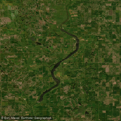
Lake Ashtabula
- Boat Ramps
- 9
- Access Points
- 13
- Campsites
- 11
Lake Ashtabula, created by the Baldhill Dam on the Sheyenne River in 1944, offers paddlers a scenic 27-mile long reservoir in eastern North Dakota. The lake features clear waters and numerous islands to explore. With seven boat ramps around the lake, paddlers have multiple access points. The Corps of Engineers manages several recreation areas providing facilities like restrooms, picnic areas, and campgrounds.
Popular fish species include walleye, northern pike, white bass, yellow perch and black bullhead. Anglers should be aware of fishing regulations and obtain proper licenses. Wildlife viewing opportunities abound, with white pelicans often seen in large flocks during summer months. The surrounding habitat supports white-tailed deer, wild turkey, and various bird species.
The best paddling conditions typically occur from late spring through early fall. Water flow from Baldhill Dam affects paddling conditions - flows between 300-1000 cubic feet per second are optimal, while over 2000 cfs can create dangerous conditions with fast currents and debris. Paddlers should always check current flow rates before embarking.
Lake Ashtabula connects to the Sheyenne River Water Trail, offering extended paddling routes. The nearby 63-mile Sheyenne River Valley National Scenic Byway provides additional recreational opportunities. With its prairie pothole landscape and scenic river valley setting, Lake Ashtabula delivers a quintessential North Dakota paddling experience rich in natural beauty and wildlife.
Water access, boat ramps & amenities
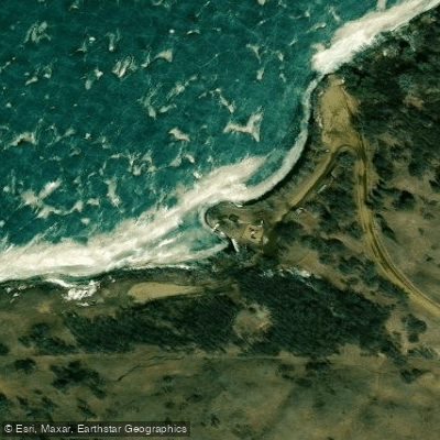
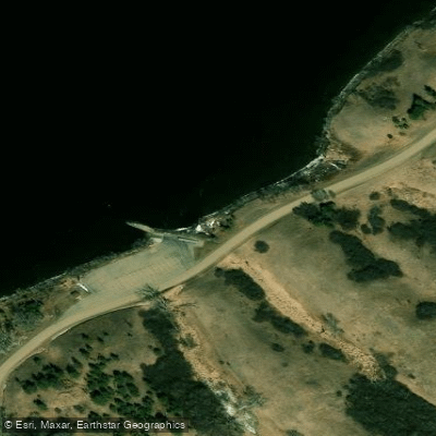
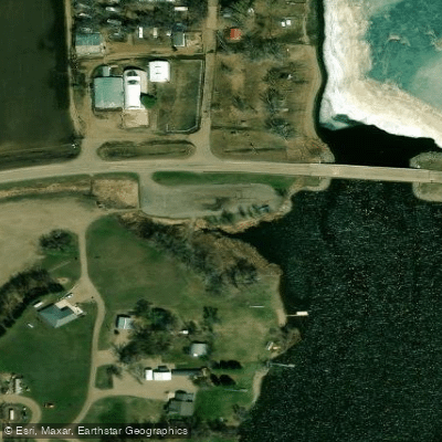
Learn how to get on Lake Ashtabula. Uncover great paddling access points, boat ramps, and all the facilities you need for an unforgettable day on the water. Some locations shown may border or include private property. Always check property boundaries and applicable regulations before visiting. PaddleWays's Public & Private Land layer can help you plan your access with confidence.
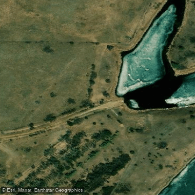
Paddle smarter with real-time insights
Whether you're en route and conditions shift or you're looking for the best spot based on current flows, we enable you to make informed decisions on the fly.








Find Places to Paddle

Over 400,000 Places to Paddle
Every user gets free access to launch points, boat ramps, and public property parcels.


Water and weather conditions (10 day forecast)
See the best times to paddle Lake Ashtabula and check the forecast before you go.
SHEYENNE RIVER BELOW BALDHILL DAM, ND
All Flow Stations
Paddling near Lake Ashtabula
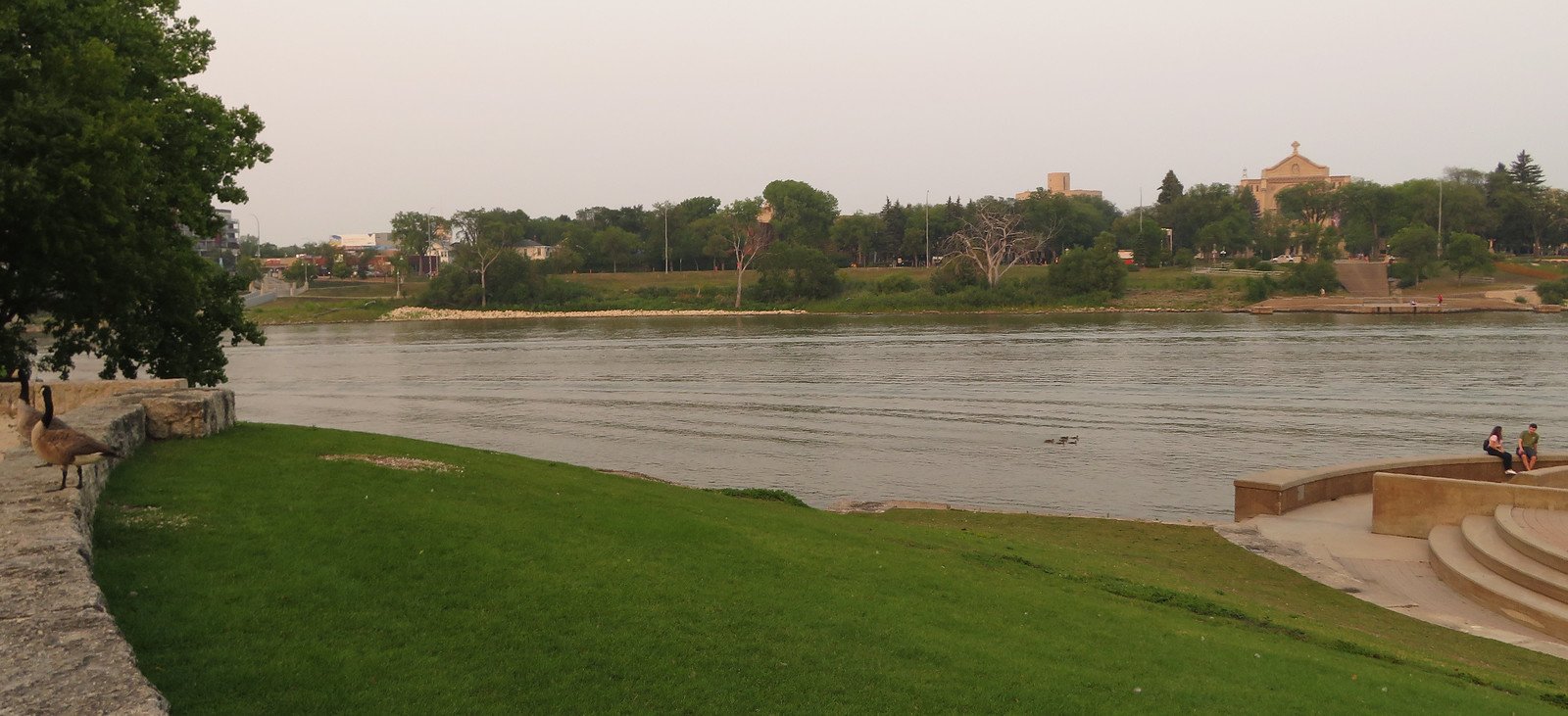
Red River of the North
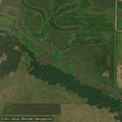
Sheyenne River
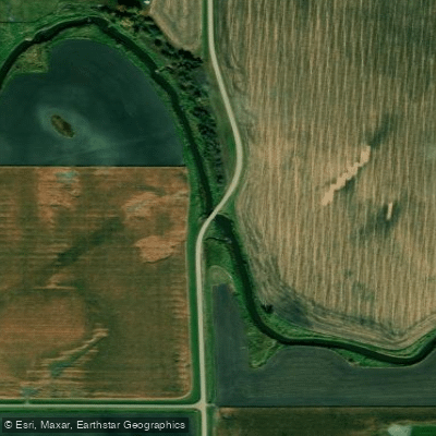
Wild Rice River
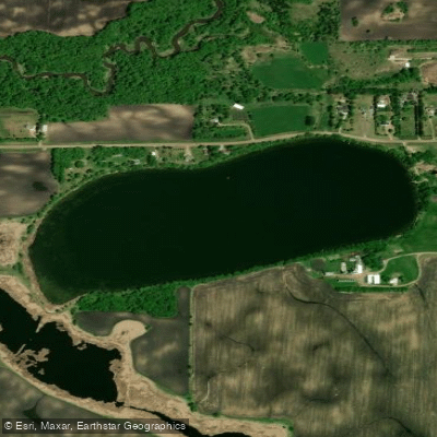
Silver Lake
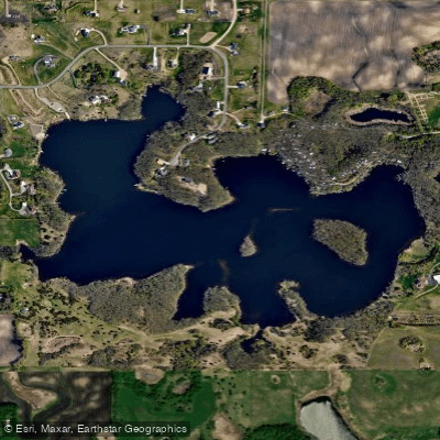
Lee Lake
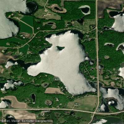
Lake Fifteen
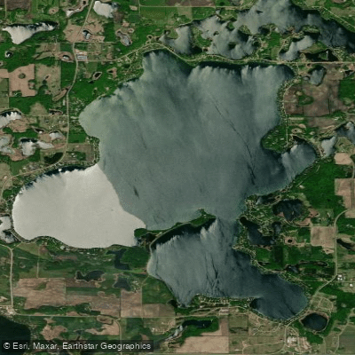
Big Cormorant Lake
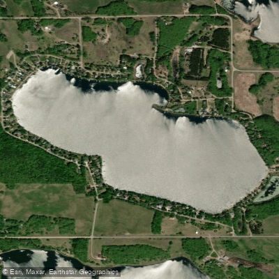
Turtle Lake
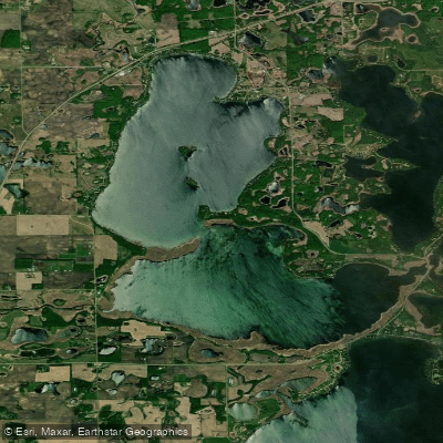
Lake Lizzie
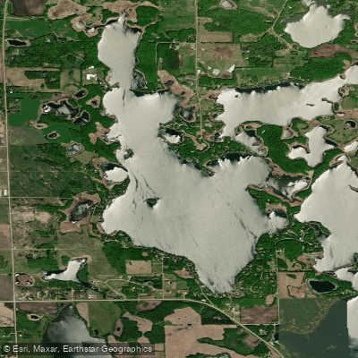
Upper Cormorant Lake
Explore North Dakota waters
Top paddling waters
Popular Cities
Loading popular cities...
Explore near Lake Ashtabula
Access points
- Sibley Crossing Park Boat Ramp
- Ashtabula Crossing Boat Ramp
- Ashtabula Lake Boat Ramp
- Sundstroms Landing Boat Ramp
- Karnack Bridge Boat Ramp
- Astabula Crossing Boat Ramp
- Katie Olson Landing Boat Ramp
- Eggerts Landing Boat Ramp
- Old 26 Landing Boat Ramp
- Sundstroms Landing Access
- Astabula Lake Access
- Sibley Crossing Park Access
- All 47 spots
Nearby waters
More in North Dakota

Smarter Paddling Starts in the App.
Paddleways gives you everything you need to plan smarter, paddle better, and own every trip from first launch to takeout.