Paddling in Missouri National Recreational River
- National Wild & Scenic River
- Open 24 hours
- Lakes
- 0
- Rivers
- 32
- Access
- 0
- Boat Ramps
- 18
- Shops
- 0
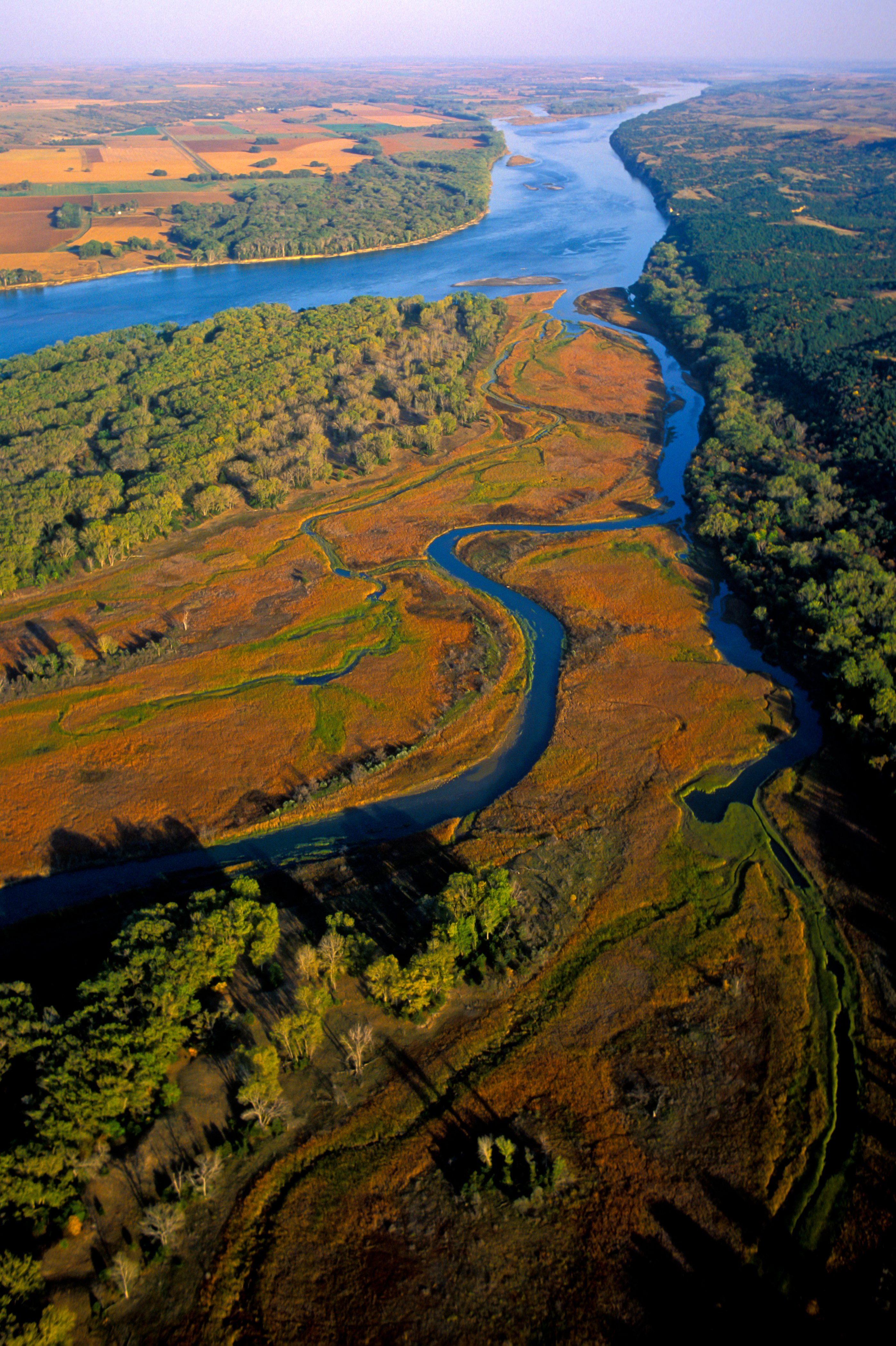
The Missouri National Recreational River protects something genuinely rare: two free-flowing segments of the Missouri River, the longest river in the country, where the channel still braids, sandbars still shift, and the river still decides its own shape.
Most of the lower Missouri was channelized between the 1930s and 1970s — straightened, armored, and constrained for barge navigation. Here, that didn't happen. Paddling these reaches is paddling a river that still behaves like one.
The park is organized around two districts. The 39-Mile District runs from Fort Randall Dam downstream to near Running Water, SD. The 59-Mile District begins just below Gavins Point Dam and ends just downstream of Ponca State Park.
Together they form the core of the Missouri National Recreational River Water Trail, which extends 148 river miles from Fort Randall Dam near Pickstown, SD, to Sioux City, IA — with Lewis and Clark Lake connecting the two protected segments in between, though the lake itself sits outside the park boundary.
This is big water. The Missouri runs 20 feet deep or more in the thalweg, the main channel, which shifts course year to year as it erodes banks and builds new sandbars.
Windy days can turn the river into something that looks like a large reservoir, with whitecapped waves that can swamp a canoe without much warning.
Snags — uprooted trees pinned to the river bottom — are a constant hazard, and an eddy in open water is often a sign of something just below the surface. Hard-shell canoes and kayaks are the appropriate craft here.
The river demands honest self-assessment about paddling ability before you put in. River access is limited to public launch sites, which are few and unevenly spaced along both reaches. Planning around those access points shapes any trip.
Towns along the corridor — Yankton, SD; Niobrara, NE; Santee, NE; Vermillion, SD — provide orientation along the route. During June through August, the park runs free kayak clinics on Lake Yankton; call 605-665-0209 for dates and times.
The park publishes a Paddler's Guide covering both the 39-Mile and 59-Mile Districts, and maps are available through the U. S. Army Corps of Engineers for the Fort Randall and Gavins Point areas.
Check those resources before any trip — the thalweg that appears on last year's map may not be where the river is running today. The Missouri here is not a managed float. It's a working river in the oldest sense, and it asks paddlers to pay attention.
Top waters to paddle near Missouri National Recreational River

Missouri River
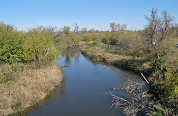
James River
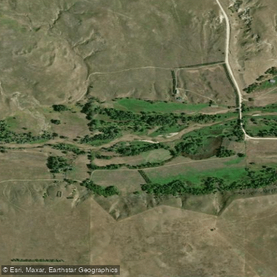
Niobrara River
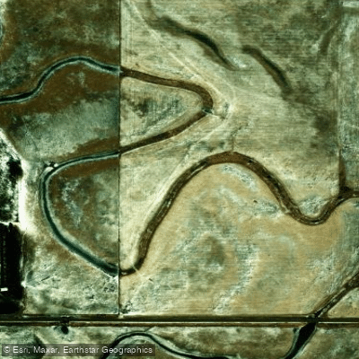
Choteau Creek
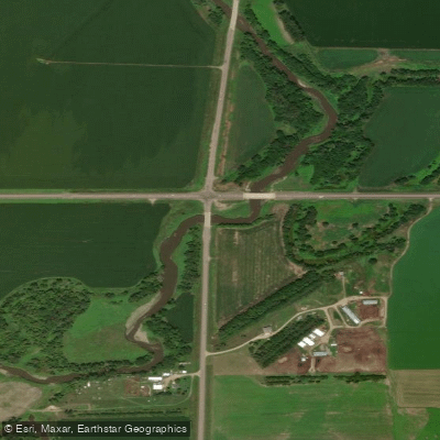
Vermillion River
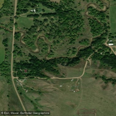
Ponca Creek
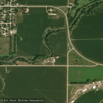
Bow Creek
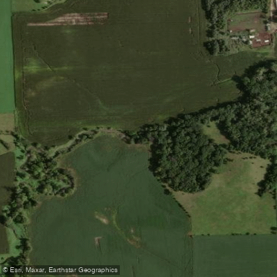
Beaver Creek
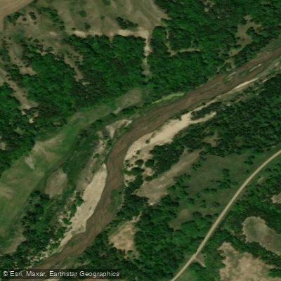
Verdigre Creek
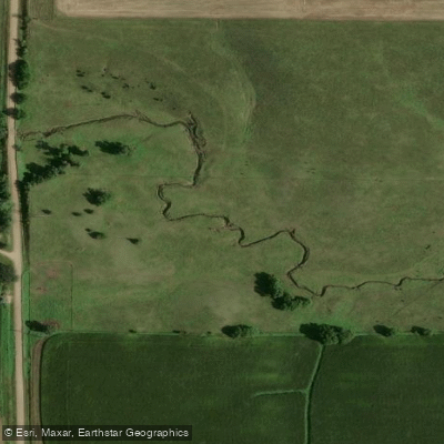
Marne Creek
Water and weather conditions (10 day forecast)
See the best times to paddle Missouri National Recreational River and check the forecast before you go.
No forecast data available.
Park alerts & road status
Closures and conditions Missouri National Recreational River has posted, from the National Park Service.
Checking the park's alerts…
Hours & fees
When Missouri National Recreational River is open and what it costs to get in, from the National Park Service.
Hours
Open 24 hoursThe entire park includes the 39-Mile District and 59-Mile District. Both districts are open 24 hours, seven days a week.
Entrance fees
No entrance fee is listed for this park.
Paddle smarter with real-time insights
Whether you're en route and conditions shift or you're looking for the best spot based on current flows, we enable you to make informed decisions on the fly.







Paddling near Missouri National Recreational River
Loading...
Other parks in Nebraska
Gateway towns
Where to base yourself for paddling in Missouri National Recreational River.
- YanktonSD
Park headquarters is here; start your visit, get ranger info, and access the 59-mile reach from Gavins Point Dam nearby.
- NiobraraNE
Serves the 39-mile upper reach with canoe and kayak rentals and guided fishing and hunting outfitters based in town.
- PoncaNE
Ponca State Park anchors the downstream end of the 59-mile reach and hosts one of the park's visitor centers.
Missouri National Recreational River paddling rules
The park's own rules, on top of Nebraska licenses and regulations. Limits, fees and closures change, so check the park's page before you go.

Always Wear Your Life Jacket
PFDs are required for all occupants of any vessel. Children under 13 must wear one at all times per state law and federal regulations. All paddlers are strongly encouraged to wear one regardless of swimming ability.

Use Public Launch Sites Only
River access is available only at designated public launch sites. They are few and unevenly spaced along both reaches of the river, so plan your put-in and take-out points before you go.

Know the River's Hazards
The Missouri is a big, demanding river with hidden eddy currents, undertows, sandbars, snags, and submerged branches. Prior experience in moving water is strongly recommended before paddling here.
Explore Missouri National Recreational River
Top paddling waters
Popular Cities
Loading popular cities...

Smarter Paddling Starts in the App.
Paddleways gives you everything you need to plan smarter, paddle better, and own every trip from first launch to takeout.