Big Stone Lake
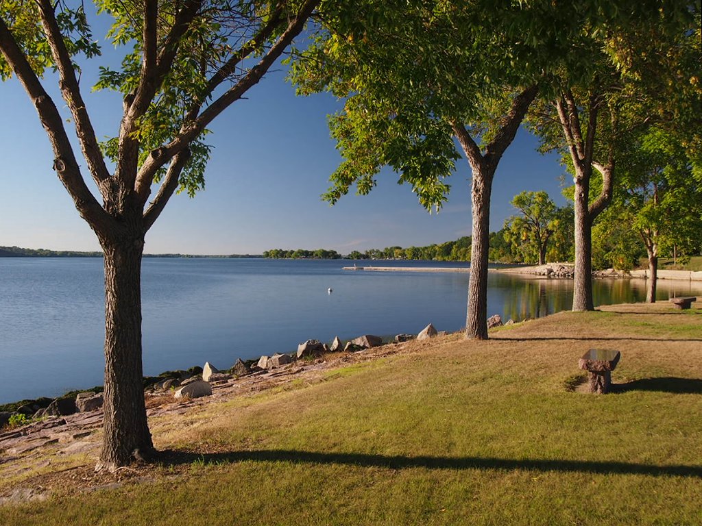
Big Stone Lake
- Boat Ramps
- 20
- Access Points
- 20
- Campsites
- 6
Big Stone Lake is a substantial 26-mile-long lake spanning the Minnesota-South Dakota border, covering 12,600 acres with a maximum depth of 16 feet and approximately one mile in width. The lake gets its name from the abundance of stone, rock, and boulders along its bottom throughout its 27-mile length.
Paddling access is available through Big Stone Lake State Park, which features a boat launch in the northern Bonanza Area section of the 986-acre park. The lake offers excellent paddling opportunities as part of its recreational activities, alongside swimming and boating.
The lake serves as the headwaters of the Minnesota River and connects to the Minnesota River State Water Trail, which flows 318 miles from Big Stone Lake in Ortonville to the Mississippi River near Fort Snelling in St. Paul. This connection provides paddlers with extended route options beyond the lake itself. The 4.5-mile wheelchair accessible Headwaters Recreational Trail connects Big Stone Lake with the Big Stone National Wildlife Refuge, offering additional exploration opportunities.
The area features significant wildlife viewing opportunities through the adjacent 11,586-acre Big Stone National Wildlife Refuge, where paddlers can observe diverse wildflowers, wildlife, and waterfowl. The refuge includes natural prairie, granite outcroppings, and vibrant marshes that enhance the paddling experience.
Big Stone Lake has historical significance as part of the former south end of Glacial Lake Agassiz. The northern section of Big Stone Lake State Park contains the 30-acre Bonanza Area, which includes rare glacial till hill prairie designated as a Scientific and Natural Area.
The shallow nature of the lake (maximum 16 feet deep) and its substantial size make it suitable for extended paddling excursions, though paddlers should be prepared for potential wind exposure given the lake's length and width.
Water access, boat ramps & amenities
Learn how to get on Big Stone Lake. Uncover great paddling access points, boat ramps, and all the facilities you need for an unforgettable day on the water. Some locations shown may border or include private property. Always check property boundaries and applicable regulations before visiting. PaddleWays's Public & Private Land layer can help you plan your access with confidence.
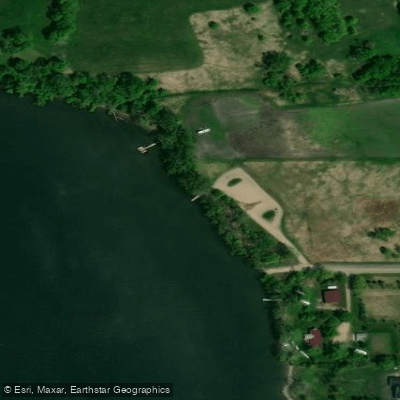
Big Stone Lake, Kanne Public Water Access Site
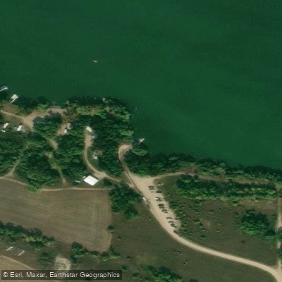
Kasuske Boat Ramp
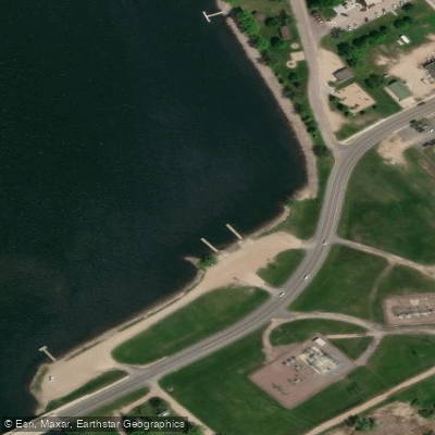
Big Stone Lake 8 Public Boat Ramp
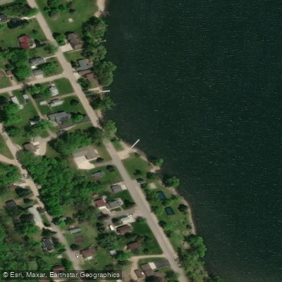
Kolb Boat Ramp
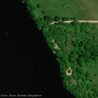
Hornsteins Boat Ramp
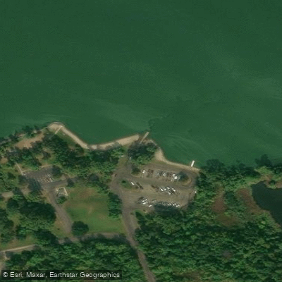
Big Stone Hartford Beach State Park
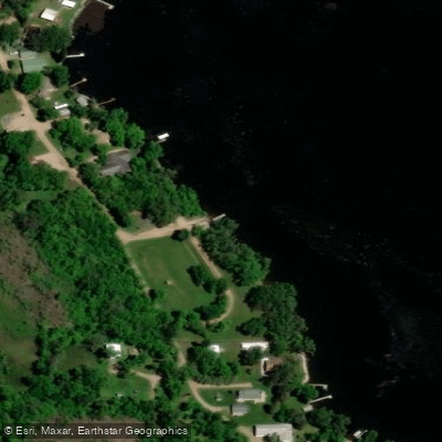
Hiawatha Boat Ramp
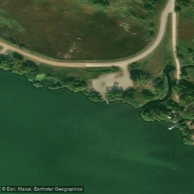
West Meadow Brook Road Boat Ramp
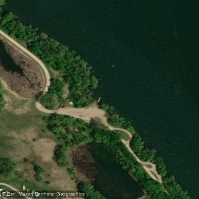
Rearing Ponds Boat Ramp
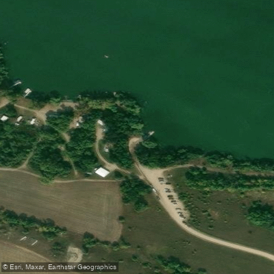
Big Stone Kasuske's Water Access Area
Paddle smarter with real-time insights
Whether you're en route and conditions shift or you're looking for the best spot based on current flows, we enable you to make informed decisions on the fly.








Find Places to Paddle

Over 400,000 Places to Paddle
Every user gets free access to launch points, boat ramps, and public property parcels.


Water and weather conditions (10 day forecast)
See the best times to paddle Big Stone Lake and check the forecast before you go.
No forecast data available.
Paddling near Big Stone Lake
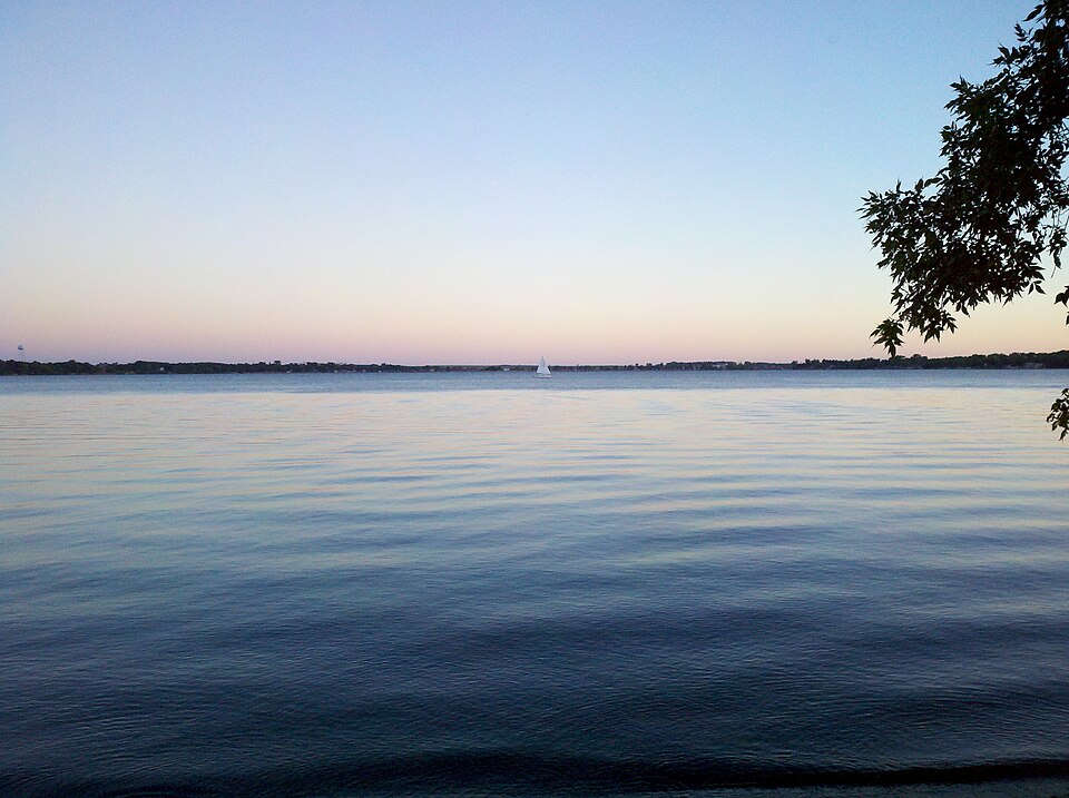
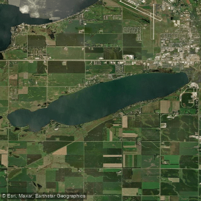
Lake Kampeska
Pelican Lake
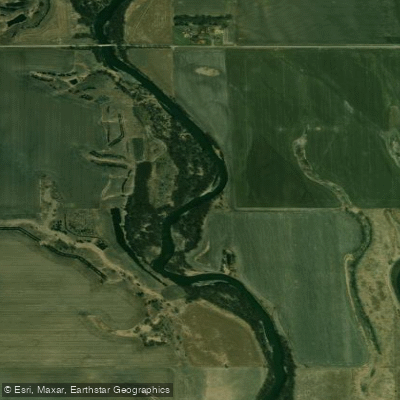
Big Sioux River
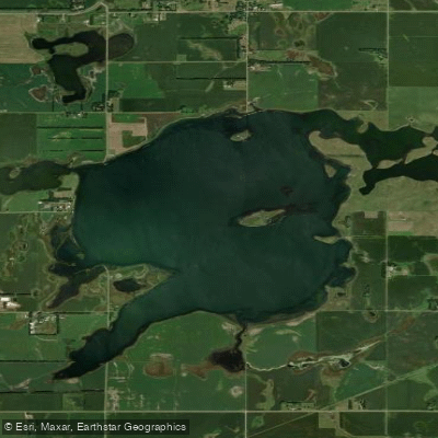
Goose Lake
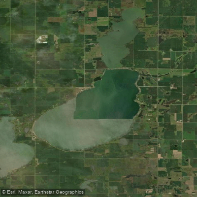
Lake Poinsett
Clear Lake
Stink Lake
Cottonwood Slough
Grass Lake
Explore South Dakota waters
Top paddling waters
Popular Cities
Loading popular cities...
Explore near Big Stone Lake
Access points
- Big Stone Lake, Kanne Public Water Access Site
- Kasuske Boat Ramp
- Big Stone Lake 8 Public Boat Ramp
- Kolb Boat Ramp
- Hornsteins Boat Ramp
- Big Stone Hartford Beach State Park
- Hiawatha Boat Ramp
- West Meadow Brook Road Boat Ramp
- Rearing Ponds Boat Ramp
- Big Stone Kasuske's Water Access Area
- Big Stone Lake, Ortonville (N) Public Water Access Site
- Big Stone Hiawatha Water Access Area
- All 29 spots
Nearby waters
More in South Dakota

Smarter Paddling Starts in the App.
Paddleways gives you everything you need to plan smarter, paddle better, and own every trip from first launch to takeout.