Lake Sharpe
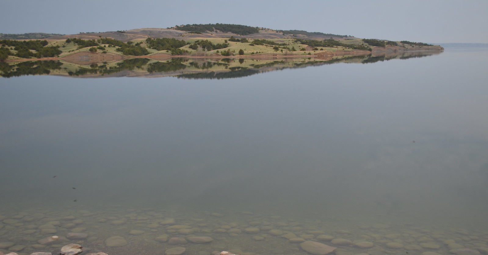
Lake Sharpe
- Boat Ramps
- 40
- Access Points
- 40
- Campsites
- 6
Lake Sharpe is a 55,000-acre reservoir on the Missouri River in South Dakota, stretching from Pierre to Fort Thompson with 200 miles of shoreline. The lake offers diverse paddling opportunities, with walleye and smallmouth bass being popular fish species. Paddlers can access the water from numerous recreational areas, campgrounds, and public access points along the shoreline.
Safety considerations include being aware of weather conditions, as they can change rapidly. For night paddling, proper lighting and reflective gear are essential. The lake hosts annual cleanup events, indicating a commitment to maintaining water quality and cleanliness.
The lake's ecosystem supports a variety of wildlife, including fish species such as walleye, northern pike, smallmouth bass, and catfish. Birdwatching is a popular activity, suggesting diverse avian populations.
Facilities for paddlers include marinas, boat launch ramps, and campgrounds. While there are no boat rentals directly on the lake, nearby marinas offer kayak and pontoon boat rentals. The lake's extensive shoreline provides ample opportunities for shore fishing and camping.
Lake Sharpe is part of the Missouri River system, which has played a significant role in South Dakota's history and development. The nearby Lewis and Clark Interpretive Center in Chamberlain offers insights into the region's historical importance.
Paddlers should be aware that a South Dakota fishing license is required for fishing activities. The lake's size and numerous access points make it suitable for both day trips and extended paddling excursions. The South Dakota Canoe & Kayak Association organizes events on the lake, including full moon paddles, which offer unique nighttime experiences on the water.
Water access, boat ramps & amenities
Learn how to get on Lake Sharpe. Uncover great paddling access points, boat ramps, and all the facilities you need for an unforgettable day on the water. Some locations shown may border or include private property. Always check property boundaries and applicable regulations before visiting. PaddleWays's Public & Private Land layer can help you plan your access with confidence.
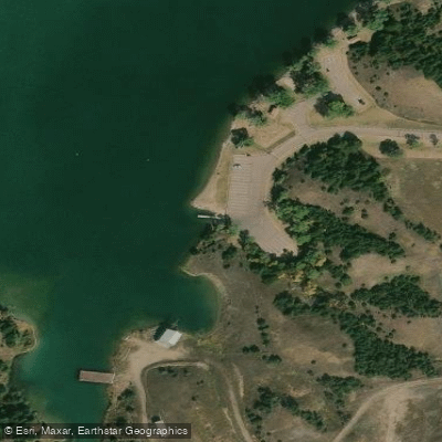
Good Soldier Boat Ramp
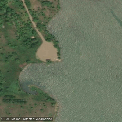
Joe Creek Boat Ramp
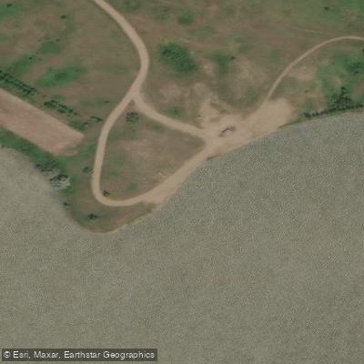
Iron Nation - North Boat Ramp
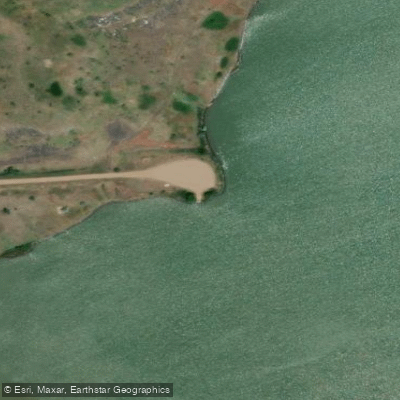
Ceder Creek Boat Ramp
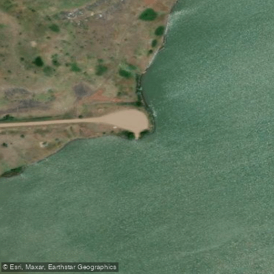
Sharpe Cedar Creek
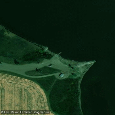
Little Bend Recreation Area Boat Ramp
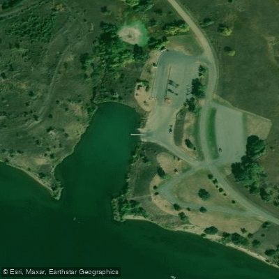
North Shore Boat Ramp
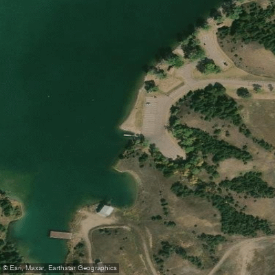
Sharpe Good Soldier
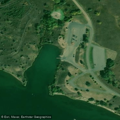
Sharpe North Shore
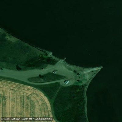
Sharpe Little Bend
Paddle smarter with real-time insights
Whether you're en route and conditions shift or you're looking for the best spot based on current flows, we enable you to make informed decisions on the fly.








Find Places to Paddle

Over 400,000 Places to Paddle
Every user gets free access to launch points, boat ramps, and public property parcels.


Water and weather conditions (10 day forecast)
See the best times to paddle Lake Sharpe and check the forecast before you go.
MISSOURI RIVER AT LAFRAMBOISE ISLAND AT PIERRE, SD
All Flow Stations
Paddling near Lake Sharpe
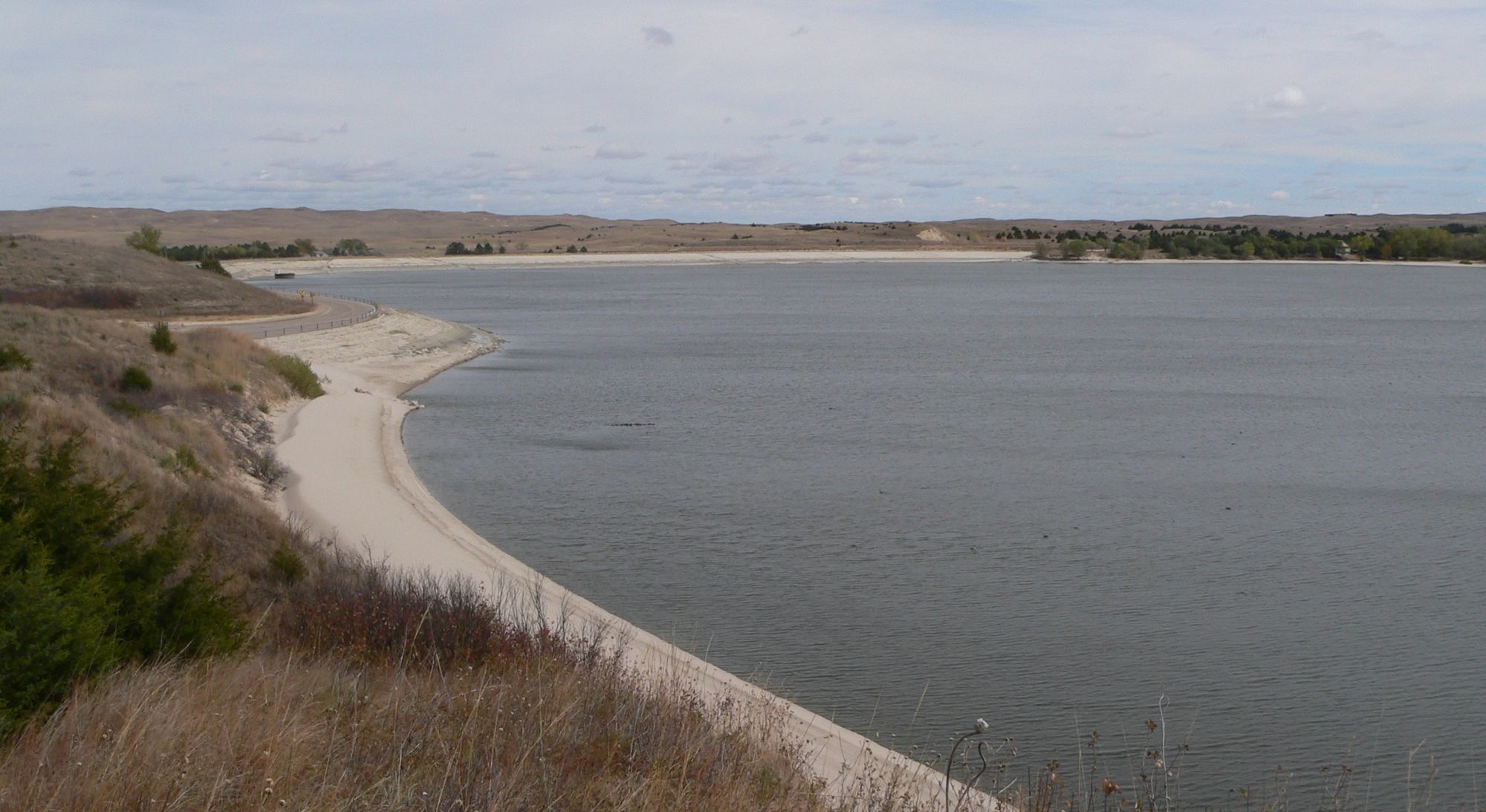
Merritt Reservoir
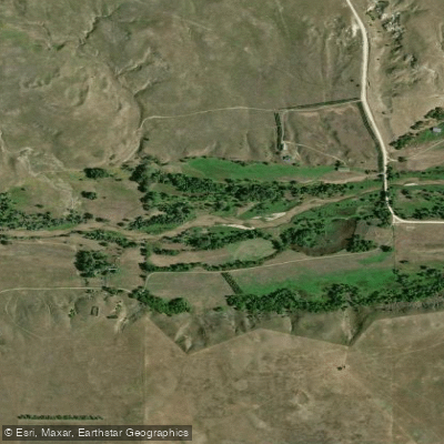
Niobrara River
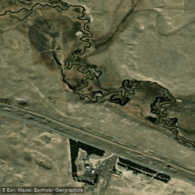
Minnechaduza Creek
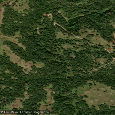
Long Pine Creek
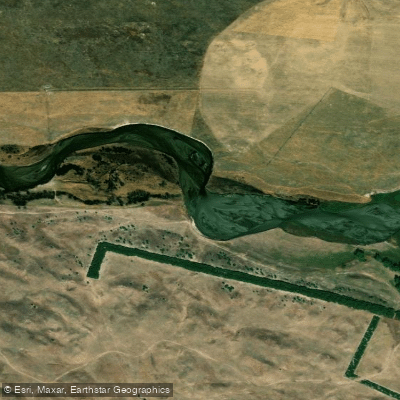
North Loup River
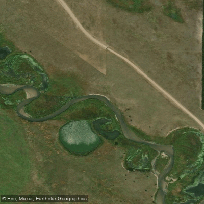
Calamus River
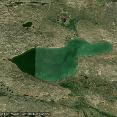
Big Alkali Lake
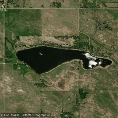
Dog Ear Lake
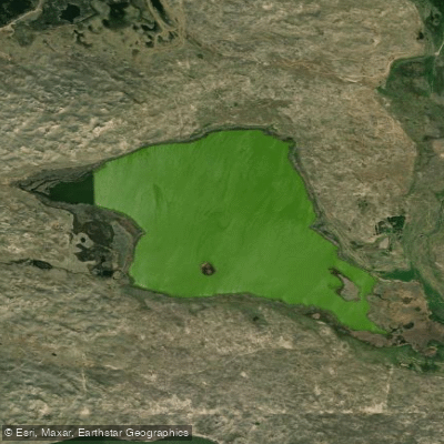
Trout Lake
Boardman Creek
Explore South Dakota waters
Top paddling waters
Popular Cities
Loading popular cities...
Explore near Lake Sharpe
Access points
Nearby waters
More in South Dakota

Smarter Paddling Starts in the App.
Paddleways gives you everything you need to plan smarter, paddle better, and own every trip from first launch to takeout.