Curated by PaddleWays

Cayou Quay Marina Boat Ramp

5.6 mi coastal route in Washington

  • Coastal

Map of the Cayou Quay Marina Boat Ramp route, from Cayou Quay Marina Boat Ramp
  • Route
  • Put-in & take-out

Conditions right now

How Cayou Quay Marina Boat Ramp is running today

Route facts

Cayou Quay Marina Boat Ramp at a glance

Distance
5.6 mi
Paddle time
~2 hrs
Type
Coastal
Tides
Tidal water

About this route

Paddling Cayou Quay Marina Boat Ramp

This 5.6-mile ocean route begins and ends at the Cayou Quay Marina Boat Ramp on Orcas Island, running on Puget Sound within San Juan Islands National Monument in San Juan County, Washington.

Put-in & take-out

Hazards

Hazards on Cayou Quay Marina Boat Ramp

No hazards are marked on Cayou Quay Marina Boat Ramp yet. That is not the same as none being there: if you find one, report it for the next paddler.

From the community

Cayou Quay Marina Boat Ramp trip reports

Real trips from PaddleWays paddlers who ran this route: how the water was, and what to watch for.

Loading trip reports

  • Greg H.

    Tidal estuary

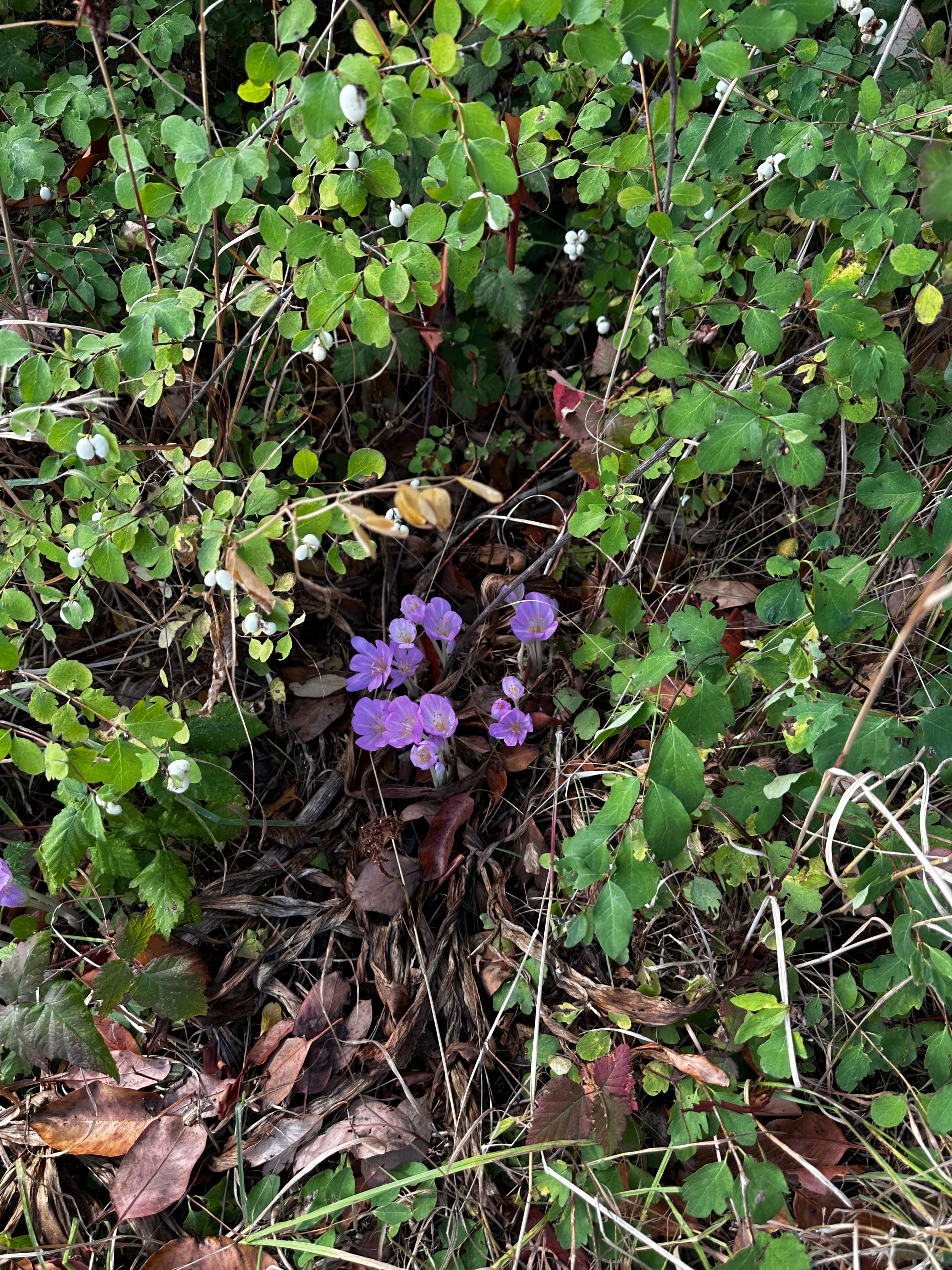
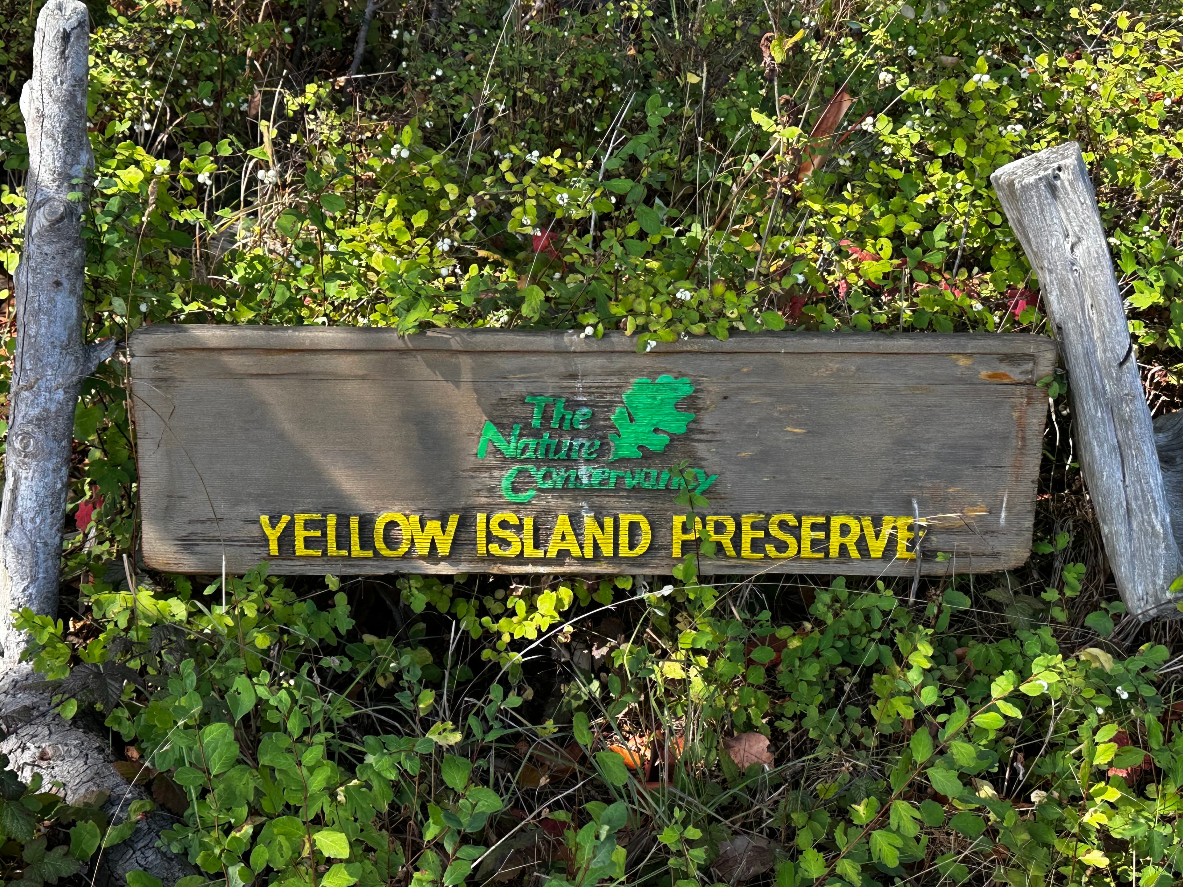
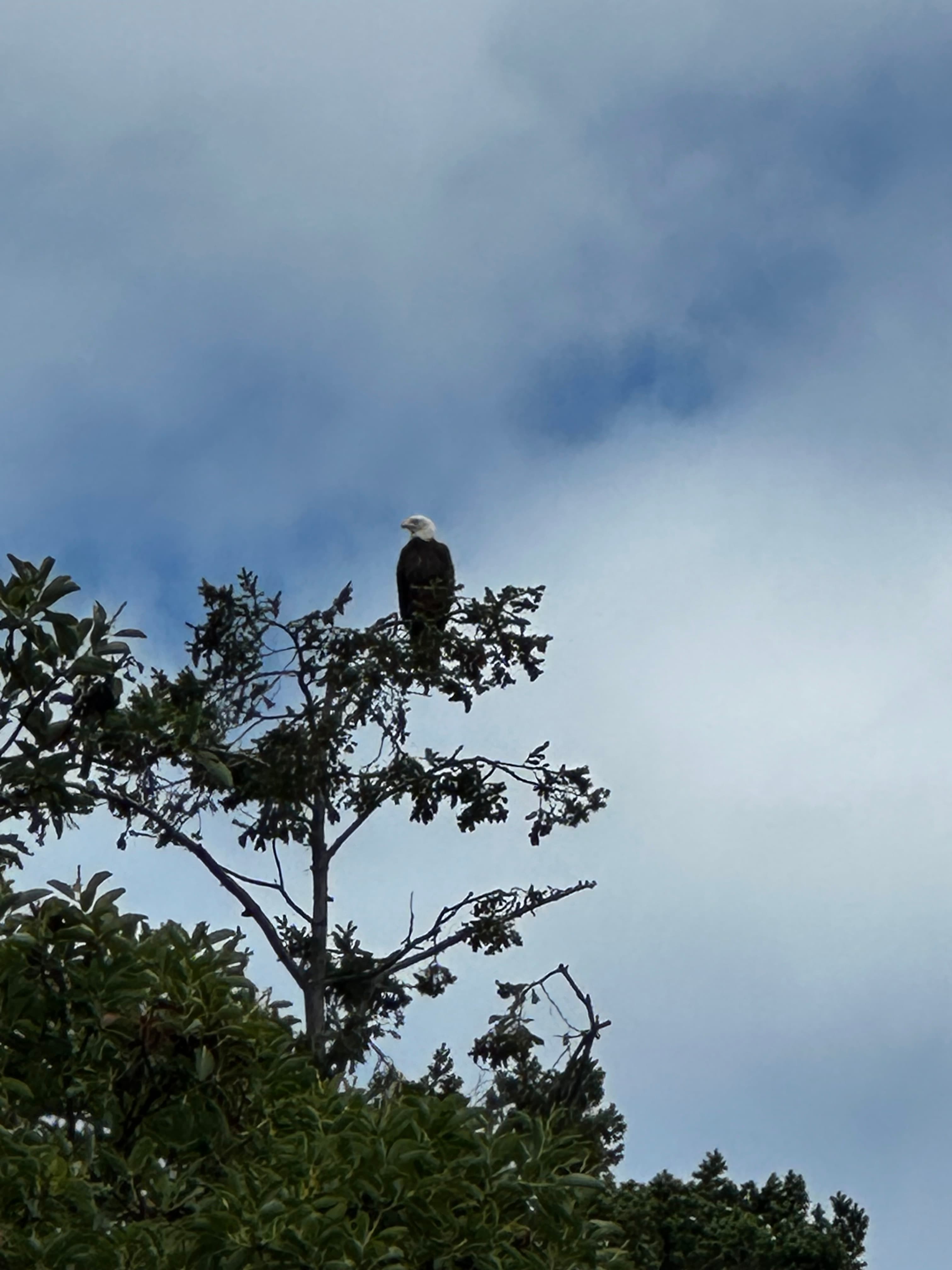
    A beautiful day on the Salish sea. We started at the Cayou Quay Marina and paddled out of Deer Harbor and by a couple of islands before coming ashore on Yellow Island. Yellow Island is owned by the Nature Conservancy and aside from a caretaker, no humans live there nor are you allowed to eat or drink on the island. Due to Harbor seals birthing, both tips of the island were closed, but we were able to hike the trails on the upper portions of the island 
    • Photo 1 from Greg H.'s trip
    • Photo 2 from Greg H.'s trip
    • Photo 3 from Greg H.'s trip+1
    Mentions: wildlife

Weather & wind (10 day forecast)

The gauges near Cayou Quay Marina Boat Ramp and the forecast where it starts, so you can pick your day.

No forecast data available.

Close by

Routes near Cayou Quay Marina Boat Ramp

Curated routes on other waters within an hour or so, nearest first.

Map of the Nicomekl River routeCurated by PaddleWays

Nicomekl River

on Nicomekl River · 32 mi away

RouteFlatwater

Distance
4 mi
Paddle time
~1.5 hrs
Curated by PaddleWays

RouteClass II

Distance
7 mi
Paddle time
~2.5 hrs
Best for
Intermediate paddlers
Put-in → take-out
Highway 101 Access → Elwha River Mouth Access
Curated by PaddleWays

RouteClass III–V

Distance
5.9 mi
Paddle time
~1.5 hrs
Best for
Intermediate paddlers, experienced paddlers
Put-in → take-out
Highway 9 Bridge Access → I-5 Bridge Access
Curated by PaddleWays

RouteFlatwater

Distance
16.1 mi
Paddle time
~5.5 hrs
Best for
Beginners, families, intermediate paddlers
Put-in → take-out
Haller Bridge Park Boat Ramp → Boat Ramp
Curated by PaddleWays

RouteClass II–IV

Distance
5.6 mi
Paddle time
~1.5 hrs
Best for
Kayak, raft
Put-in → take-out
Glines Canyon Dam Access → Highway 101 Access
Potentially more difficult features at higher water levels

Smarter Paddling Starts in the App.

PaddleWays gives you everything you need to plan smarter, paddle better, and own every trip from first launch to takeout.