Stillaguamish River
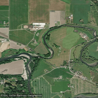
Stillaguamish River
- Boat Ramps
- 2
- Access Points
- 4
- Campsites
- 0
The Stillaguamish River is a significant waterway in northwestern Washington state, originating in the Cascade Mountains and flowing westward to empty into Puget Sound. The river is formed by the confluence of its North and South Forks near Arlington, with the main stem stretching approximately 45 miles to its mouth at Port Susan. The North Fork begins at the base of Three Fingers Mountain, while the South Fork originates near Barlow Pass. Both forks flow through steep, forested canyons before joining in the lowlands. Major tributaries include the Pilchuck Creek and Canyon Creek.
The Stillaguamish offers diverse paddling opportunities across its watershed. The upper reaches of both forks feature challenging whitewater runs suitable for experienced paddlers, with Class III to V rapids. The South Fork's Robe Canyon section is particularly renowned among expert kayakers for its intense Class V whitewater. Downstream, the river transitions to more moderate Class II-III rapids before becoming a meandering lowland river. For intermediate paddlers, the Silly Stilly section of the South Fork from Boardman Creek to Verlot provides an exciting Class III run. Novice paddlers can enjoy the gentler flows of the lower river and estuary.
The river is typically paddled from late fall through spring when water levels are highest, though some sections are runnable year-round. The river valley supports diverse ecosystems, from alpine forests to estuarine wetlands. Wildlife includes salmon, steelhead, bald eagles, and black bears. The estuary at the river's mouth is an important habitat for migratory birds.
Key access points include Deer Creek and Verlot on the South Fork, and Darrington and Oso on the North Fork. The town of Arlington sits at the confluence of the forks. Historical sites along the river include old logging camps and Native American fishing grounds.
Safety considerations include cold water, logjams, and rapidly changing conditions, especially in the upper canyon sections. Some areas have specific regulations regarding fishing and boating. For multi-day trips, paddlers can combine sections of the North and South Forks or continue down the main stem to the estuary. The river's proximity to the Mountain Loop Highway makes it accessible for both day trips and longer expeditions exploring the surrounding Cascade wilderness.
Water access, boat ramps & amenities
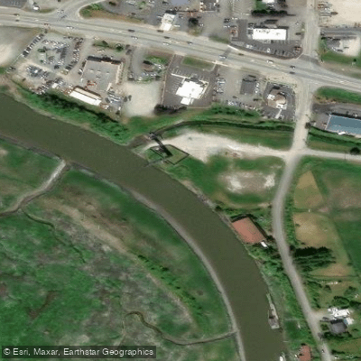
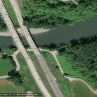
Learn how to get on Stillaguamish River. Uncover great paddling access points, boat ramps, and all the facilities you need for an unforgettable day on the water. Some locations shown may border or include private property. Always check property boundaries and applicable regulations before visiting. PaddleWays's Public & Private Land layer can help you plan your access with confidence.
Paddle smarter with real-time insights
Whether you're en route and conditions shift or you're looking for the best spot based on current flows, we enable you to make informed decisions on the fly.








Find Places to Paddle

Over 400,000 Places to Paddle
Every user gets free access to launch points, boat ramps, and public property parcels.


Water and weather conditions (10 day forecast)
See the best times to paddle Stillaguamish River and check the forecast before you go.
Stillaguamish R. nr Silvana
Paddling near Stillaguamish River
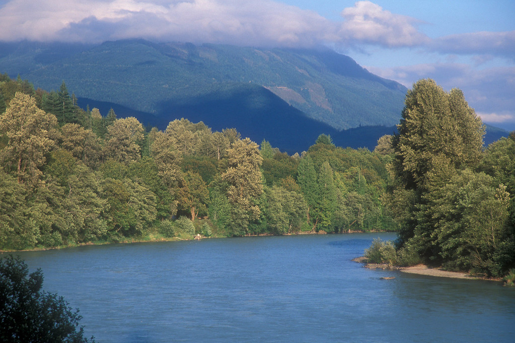
Skagit River
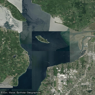
Possession Sound

Lake Washington
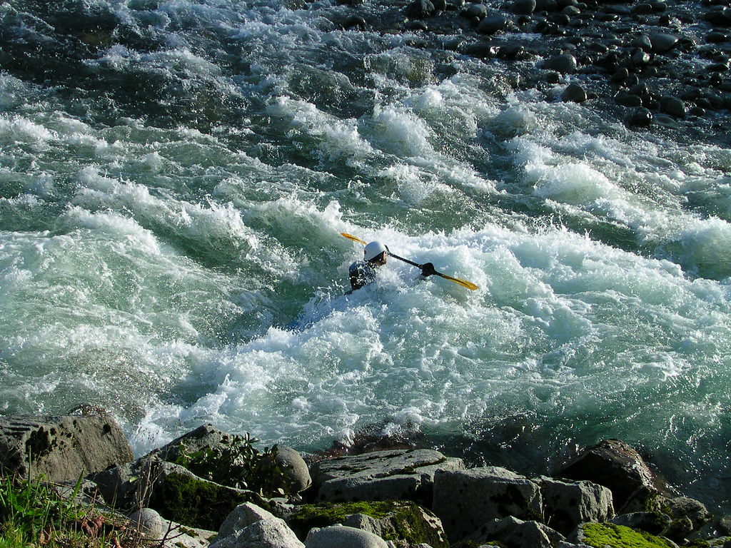
Skykomish River
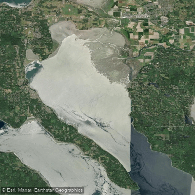
Port Susan
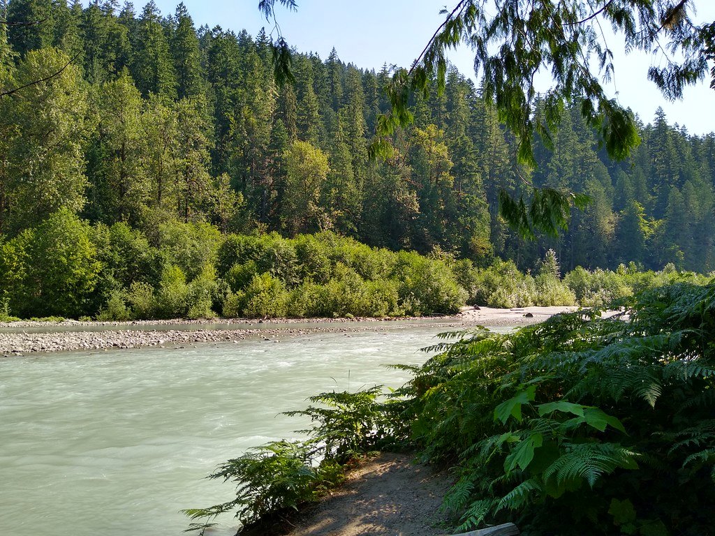
Sauk River
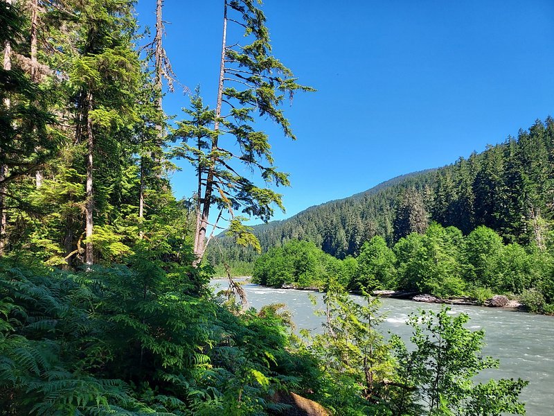
Snoqualmie River
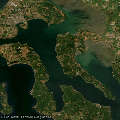
Saratoga Passage
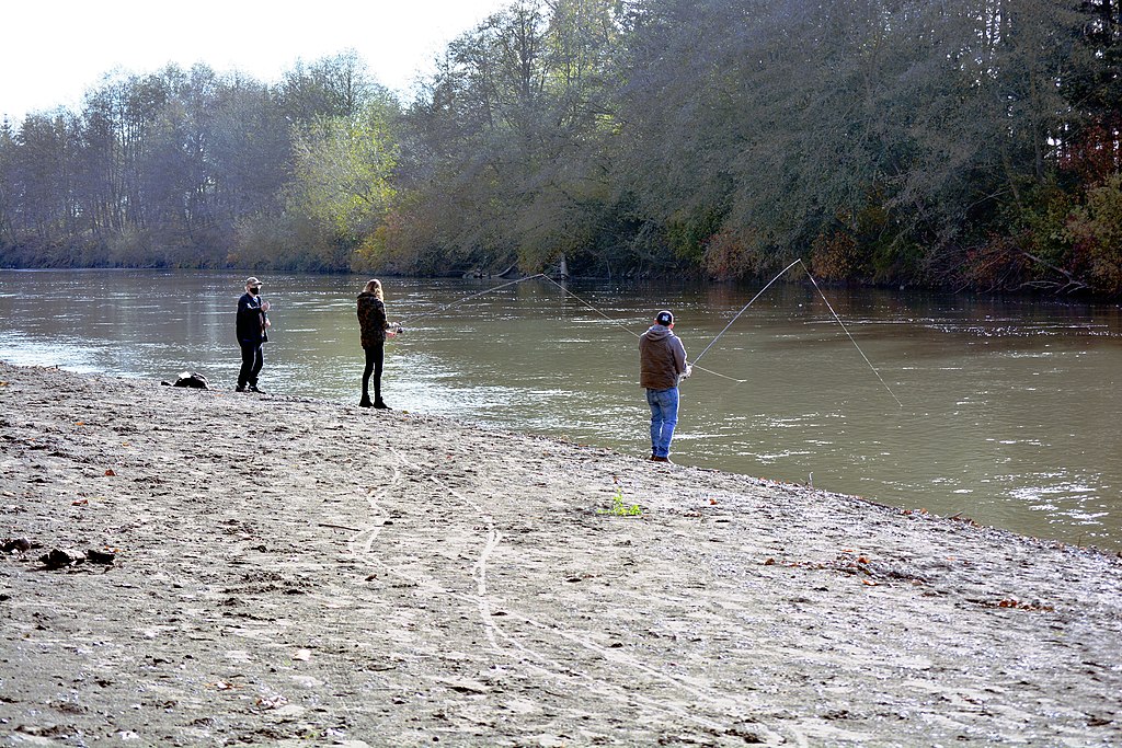
Nooksack River
Explore Washington waters
Top paddling waters
Popular Cities
Loading popular cities...
Explore near Stillaguamish River
Access points
- Haller Bridge Park Boat Ramp
- Hamilton Landing Park Boat Ramp
- Hamilton Landing Park Access
- 220th Street Fishing Access Site
- Stillaguamish River Bridge
- Stilliguamish River Bridge
- Stillaguamish River Bridge
- Stillaguamish River Bridge
- Pilchuck Creek Bridge
- Jorgenson Slough Bridge
- Pilchuck Creek Bridge
- Pilchuck Creek Bridge
- All 26 spots
Nearby waters
More in Washington

Smarter Paddling Starts in the App.
Paddleways gives you everything you need to plan smarter, paddle better, and own every trip from first launch to takeout.