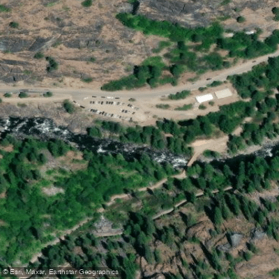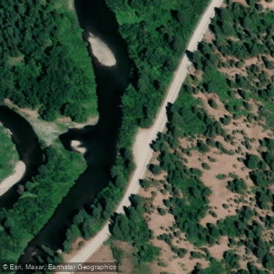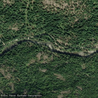
Curated by PaddleWays
RouteClass V
- Distance
- 2.8 mi
- Paddle time
- ~0.5 hrs
- Best for
- Experienced paddlers
- Put-in → take-out
- Eight Mile Campground → Lower Icicle Access
Unrunnable Snow Creek Cataract below dam
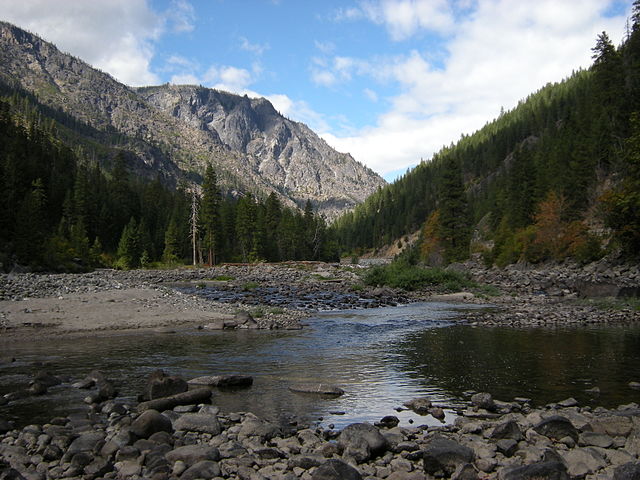
Icicle Creek originates at Josephine Lake near the crest of the Cascade Range in Washington's Alpine Lakes Wilderness, carving a dramatic granite gorge as it flows generally eastward through the Okanogan-Wenatchee National Forest. The creek descends through Icicle Canyon before joining the Wenatchee River near the Bavarian-themed town of Leavenworth, draining over 200 square miles of mountainous terrain. The waterway receives significant contributions from major tributaries including Eightmile Creek, Snow Creek, and several smaller drainages flowing from the rugged peaks of the Enchantments area.
The creek offers approximately 15 miles of paddleable whitewater divided into distinct sections that cater primarily to advanced and expert kayakers. The Upper section from Rock Island Campground to Johnny Creek provides Class II-III+ water with one Class V portage, serving as the most accessible entry point to Icicle paddling. The Middle section between Johnny Creek and Snow Creek Trailhead represents a regional classic, delivering relentless Class IV-V+ whitewater through massive granite boulders with notable rapids like Roadside Attraction and the infamous unrunnable Snow Creek Falls. The Ricochet Section from Eight Mile Campground intensifies to Class V-V+, featuring technical, continuous action. The Lower section from Snow Creek Trailhead to the Leavenworth Fish Hatchery compresses 2.2 miles of powerful Class IV-IV+ rapids with significant holes and hydraulics. Below the hatchery, paddlers can enjoy a mellow 3.5-mile Class I float through town to the Wenatchee River at Blackbird Island, suitable for all craft including SUPs and canoes.
Prime paddling season runs from April through early July during snowmelt, with flows typically estimated at 20 percent of the Wenatchee River's Peshastin gauge reading. Optimal levels range from 700-2000 cfs, translating to 3,500-10,000 cfs on the Wenatchee gauge. The USGS gauge above Snow Creek provides direct flow data.
Icicle Creek Road parallels most of the creek, providing multiple access points at Rock Island, Johnny Creek, Bridge Creek, Eight Mile, and Snow Creek Trailhead campgrounds. A Northwest Forest Pass is required at most locations. The fish hatchery near Leavenworth offers the most developed takeout with parking and boat ramp facilities.
The creek supports critical cold-water fish habitat and flows through spectacular alpine scenery with views of the Enchantments' glaciated peaks. Paddlers must navigate around the fish hatchery dam—a dangerous 30-foot drop with a powerful hydraulic that demands extreme caution. Private property exists along certain stretches, particularly below Eight Mile Campground, requiring respectful access practices. The granite boulder gardens create complex rapids with potential wood hazards and sieves, demanding expert-level skills and local knowledge for safe navigation of the upper sections.
Curated routes
Hand-picked by the PaddleWays team, with put-ins, take-outs, paddle times and the hazards along the way.
RouteClass V
RouteClass II–V
RouteClass IV
RouteClass IV–VI
Hazards
No hazards are marked on Icicle Creek yet. That is not the same as none being there: if you find one, report it for the next paddler.
From the community
Nobody has shared a trip on Icicle Creek yet. Paddle it, then tell the next paddler how it went.
See exactly where the public can get on and off the river. Launch points and boat ramps are paired with PaddleWays' public land data so you know where you can legally land.
Public shoreline
78%of the river's shoreline is public
Flows, weather and a route-by-route verdict, so you know which stretch of the Icicle Creek is worth paddling today.
All Flow Stations
Live flows, marked hazards and fresh trip reports from paddlers who were just on the water, all in one place.





Every user gets free access to launch points, boat ramps, and public property parcels.
Loading popular cities...
PaddleWays gives you everything you need to plan smarter, paddle better, and own every trip from first launch to takeout.