Banks Lake
Banks Lake
- Boat Ramps
- 12
- Access Points
- 27
- Campsites
- 7
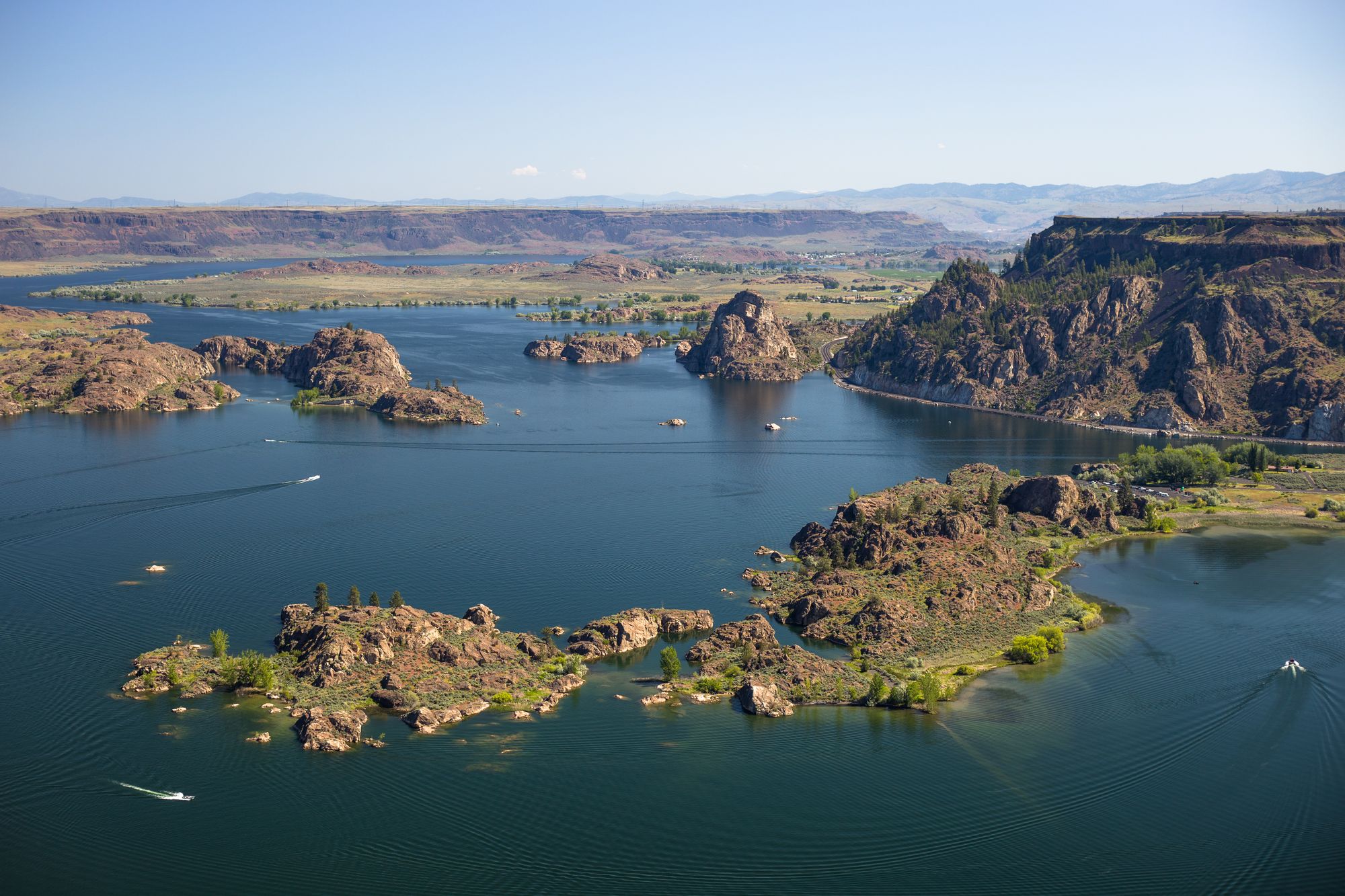
Banks Lake is a 27-mile long, 2-mile wide reservoir in north central Washington, offering diverse paddling opportunities. The lake features a mix of basalt cliffs, granite islands, and rocky coves, creating an intriguing landscape for exploration. Popular access points include Steamboat Rock State Park, which has wide sandy beaches and a boat launch, as well as Northrup Point and Jones Bay.
Paddlers should be aware that Banks Lake can experience strong winds, particularly in the afternoons. The lake tends to channel prevailing weather, with winds often blowing up or down the lake. Waves up to 2 feet can occur in more exposed areas. The area around Steamboat Rock can have particularly unpredictable wind patterns.
Several noteworthy paddling routes exist. The State Park Loop (6 miles) offers a sheltered experience around Devil's Punch Bowl. The Northrup Point Loop (8.5 miles) showcases an interesting mix of basalt cliffs and granitic formations. For a longer adventure, paddling the entire length of the lake (about 30 miles) can be done as a multi-day trip.
Spring (April-May) and fall (September-October) are ideal paddling seasons, offering pleasant temperatures and fewer crowds. Summer can be quite hot, though the warm water temperatures make for enjoyable swimming. Winter paddling is possible on mild days, potentially offering solitude.
Wildlife viewing opportunities abound, with the lake being a popular spot for birding in spring and fall. The lake is also known for excellent fishing, particularly for smallmouth bass and walleye. Paddlers should be prepared to share the lake with powerboats, especially on summer weekends.
Camping options include Steamboat Rock State Park, which requires reservations, and various sites along the western shoreline for multi-day trips. Paddlers should bring their own drinking water, as the lake water is not recommended for consumption due to potential contaminants.
Water access, boat ramps & amenities
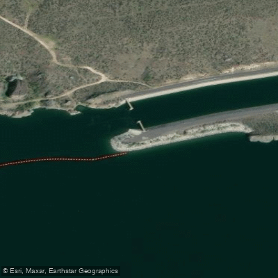
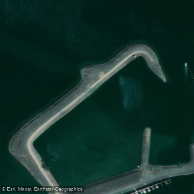
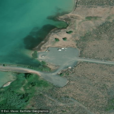
Learn how to get on Banks Lake. Uncover great paddling access points, boat ramps, and all the facilities you need for an unforgettable day on the water. Some locations shown may border or include private property. Always check property boundaries and applicable regulations before visiting. PaddleWays's Public & Private Land layer can help you plan your access with confidence.
Banks Lake Access
Banks Lake Access
Million Dollar Mile Access
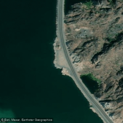
Banks Lake Access
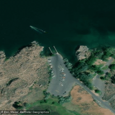
Banks Lake Access
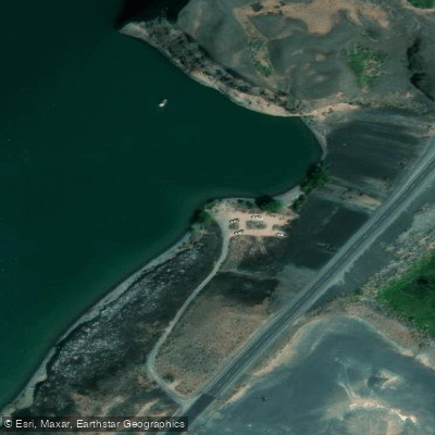
Banks Lake Access
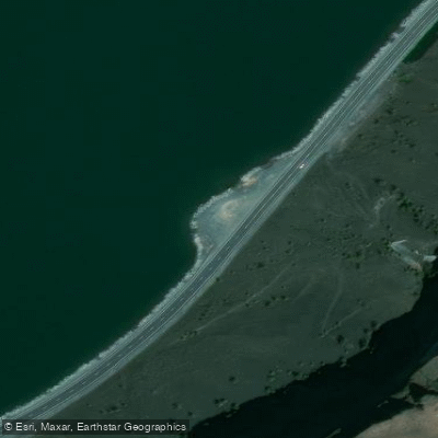
Banks Lake Access
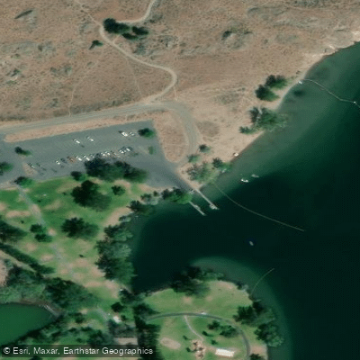
Banks Lake Access
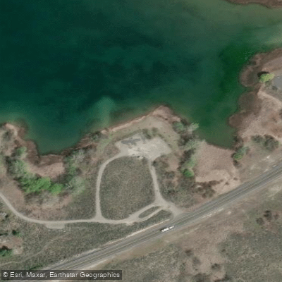
Banks Lake Access
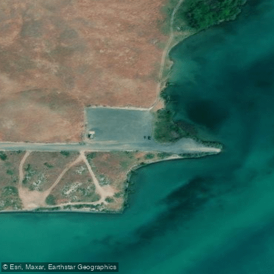
Barker Canyon Access
Paddle smarter with real-time insights
Whether you're en route and conditions shift or you're looking for the best spot based on current flows, we enable you to make informed decisions on the fly.








Find Places to Paddle

Over 400,000 Places to Paddle
Every user gets free access to launch points, boat ramps, and public property parcels.


Water and weather conditions (10 day forecast)
See the best times to paddle Banks Lake and check the forecast before you go.
No forecast data available.
Paddling near Banks Lake

Columbia River
Spokane River
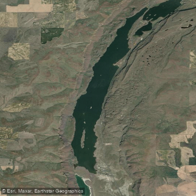
Lenore Lake
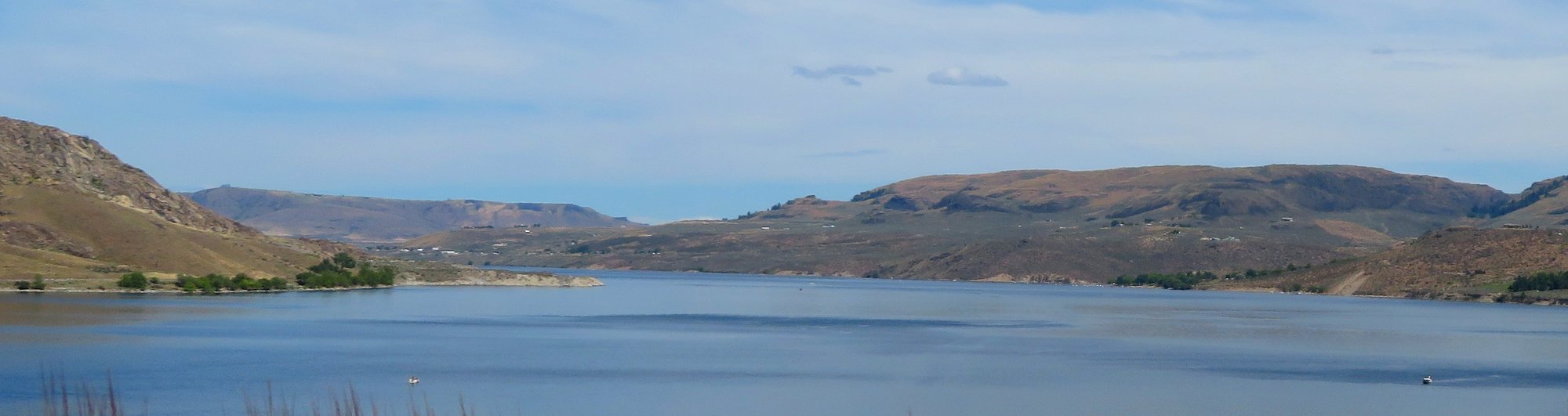
Franklin D Roosevelt Lake
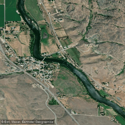
Okanogan River
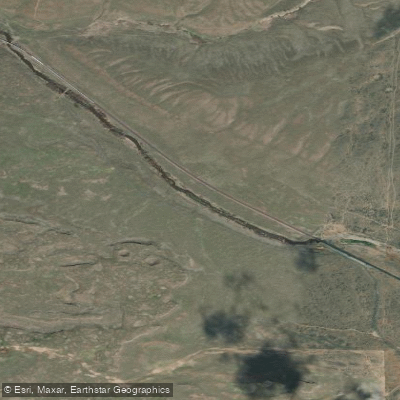
Crab Creek
Hawk Creek
Sanpoil River Arm
Osborn Bay Lake
Explore Washington waters
Top paddling waters
Popular Cities
Loading popular cities...
Explore near Banks Lake
Access points
Nearby waters
More in Washington

Smarter Paddling Starts in the App.
Paddleways gives you everything you need to plan smarter, paddle better, and own every trip from first launch to takeout.