Peshastin Creek
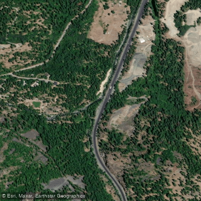
Peshastin Creek
- Boat Ramps
- 0
- Access Points
- 0
- Campsites
- 1
Peshastin Creek originates in the high elevation areas on the east slope of the Cascade Mountains in Central Washington, with headwaters near Blewett Pass where mean annual precipitation reaches 35 inches. The creek flows generally northward through Wenatchee National Forest before emptying into the Wenatchee River near the town of Peshastin in Chelan County. As a tributary of the Wenatchee River system, which itself feeds into the Upper Columbia River, Peshastin Creek contributes approximately 4% of the Wenatchee's summer flow despite being a relatively small tributary.
The primary whitewater run extends approximately 9 miles from the Highway 97 culvert at mile marker 177.2 down to the confluence with the Wenatchee River. This section offers Class III+ to IV whitewater, making it suitable for intermediate and advanced kayakers. The put-in is located about 7.5 miles south of the Highway 2 junction along Blewett Pass Highway (SR 97), at the downstream end of a large pull-out marked by a Wenatchee National Forest sign. The most challenging rapids, known as "Fresh Squeezed," appear during spring runoff when water levels are high, delivering intense Class 3-4 whitewater in the upper section. As paddlers progress downstream, the creek tapers off to Class 2 difficulty. A runnable diversion dam provides additional technical interest along the route.
Peshastin Creek supports important salmonid populations including spring Chinook salmon, steelhead, coho, bull trout, westslope cutthroat trout, and non-native brook trout. The lower reaches receive use from both Peshastin-origin fish and those from other locations within the Wenatchee Basin. Washington State established minimum instream flow requirements in 1983 to protect fish, wildlife, water quality, and environmental values throughout the watershed.
The creek corridor features a mix of environments, with Highway 97 paralleling much of the stream. Land uses along lower reaches include agriculture and rural residential development, though floodplain width remains naturally limited in many areas. Historical off-channel habitat exists but faces barriers from Highway 97 infrastructure and levees across various flow ranges.
Fishing regulations are highly restrictive, with most of Peshastin Creek and its tributaries (except Ingalls Creek) designated as closed waters to protect sensitive fish populations. Above Ruby Creek, selective gear rules apply during the limited season from Saturday before Memorial Day through October 31, with a five-fish daily limit on eastern brook trout and no minimum size requirement.
Spring snowmelt provides optimal paddling conditions when flows are sufficient to activate the creek's technical character, though the brief runnable window requires careful timing and monitoring of water levels.
Water access, boat ramps & amenities
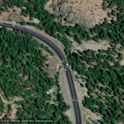
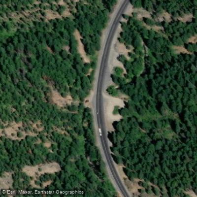
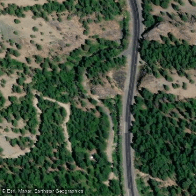
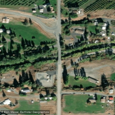
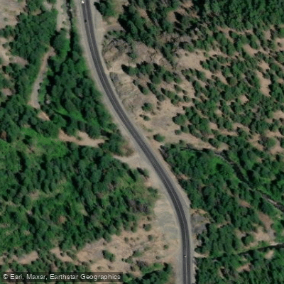
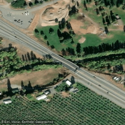
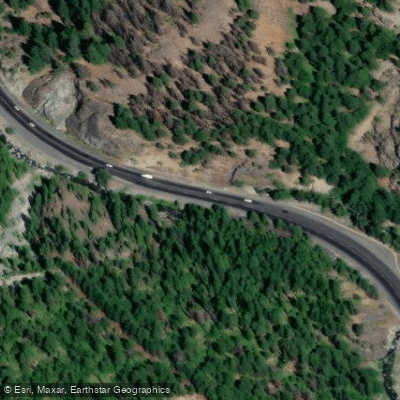
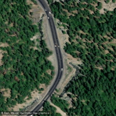
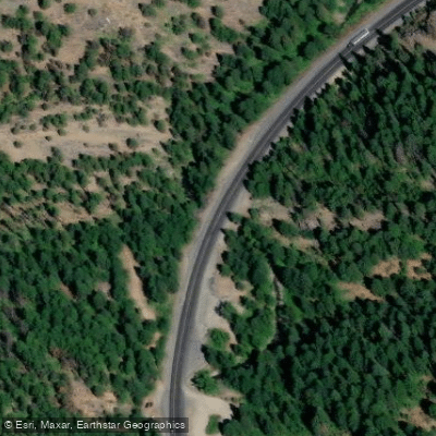
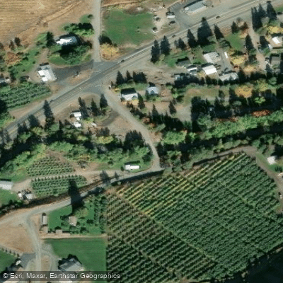
Learn how to get on Peshastin Creek. Uncover great paddling access points, boat ramps, and all the facilities you need for an unforgettable day on the water. Some locations shown may border or include private property. Always check property boundaries and applicable regulations before visiting. PaddleWays's Public & Private Land layer can help you plan your access with confidence.
Paddle smarter with real-time insights
Whether you're en route and conditions shift or you're looking for the best spot based on current flows, we enable you to make informed decisions on the fly.








Find Places to Paddle

Over 400,000 Places to Paddle
Every user gets free access to launch points, boat ramps, and public property parcels.


Water and weather conditions (10 day forecast)
See the best times to paddle Peshastin Creek and check the forecast before you go.
Peshastin Cr. @ Green Bridge Rd.
Paddling near Peshastin Creek

Columbia River
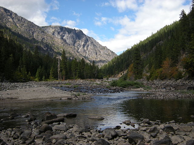
Wenatchee River
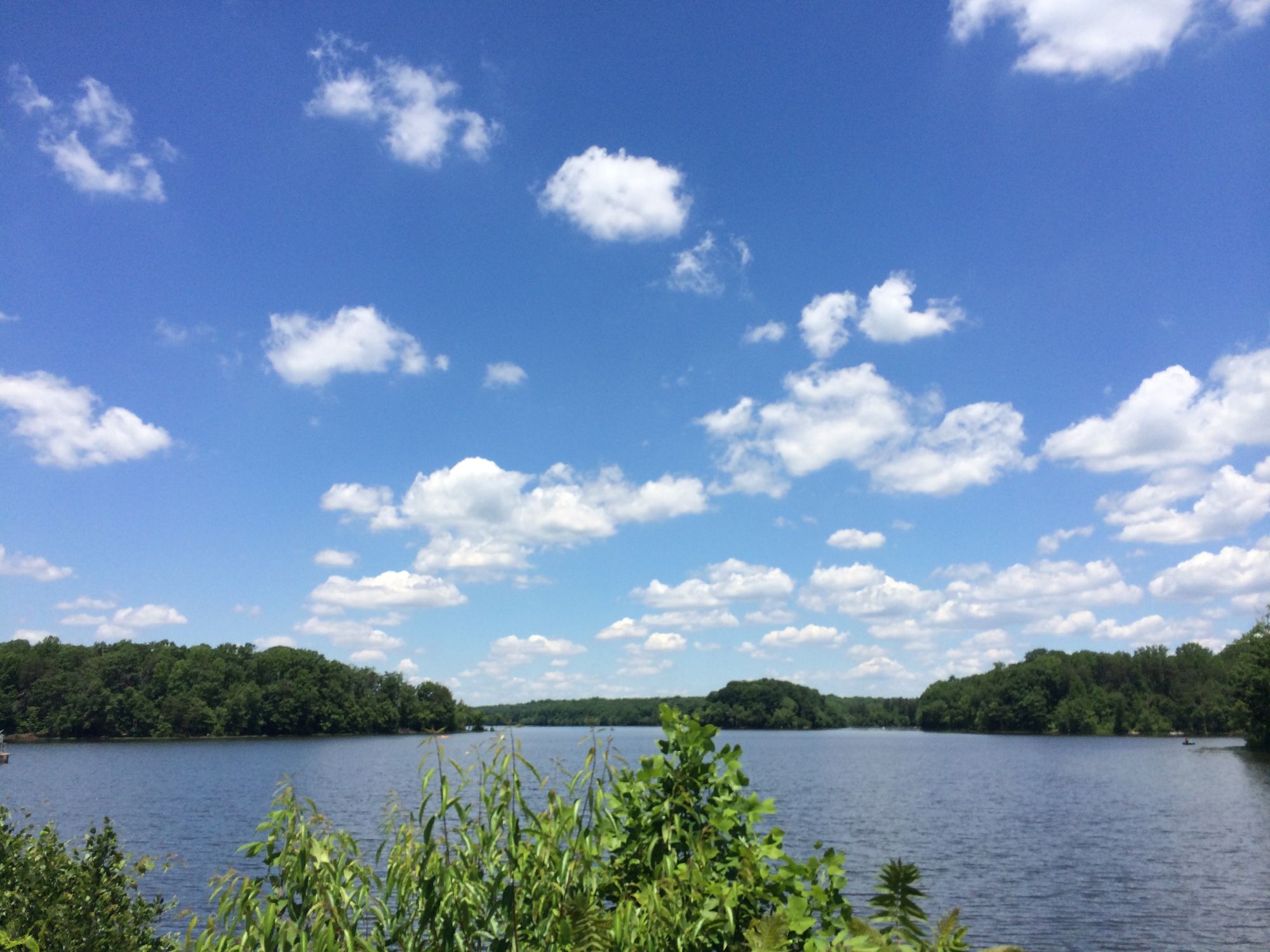
Burke Lake
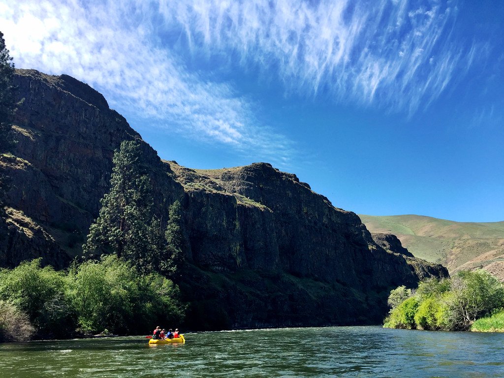
Yakima River
Lenore Lake
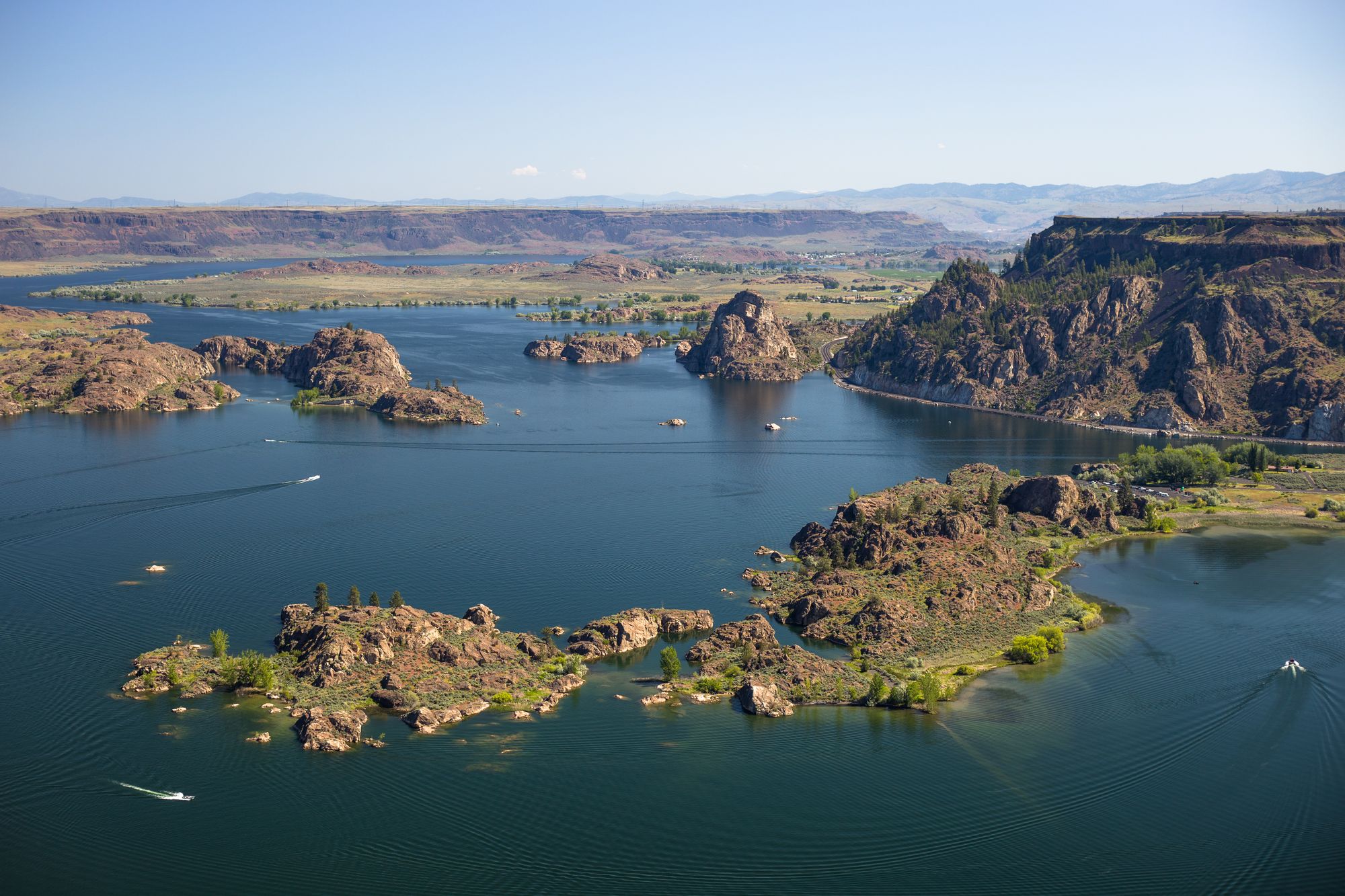
Banks Lake
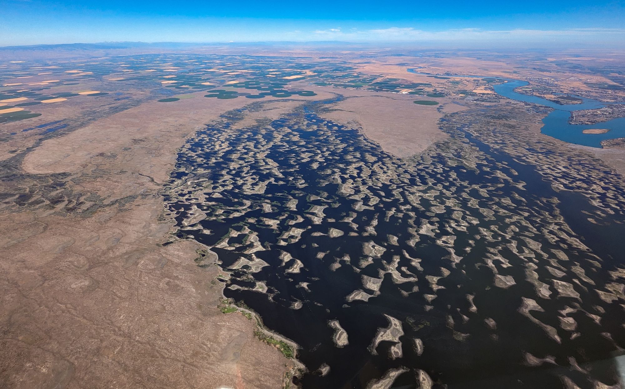
Potholes Reservoir
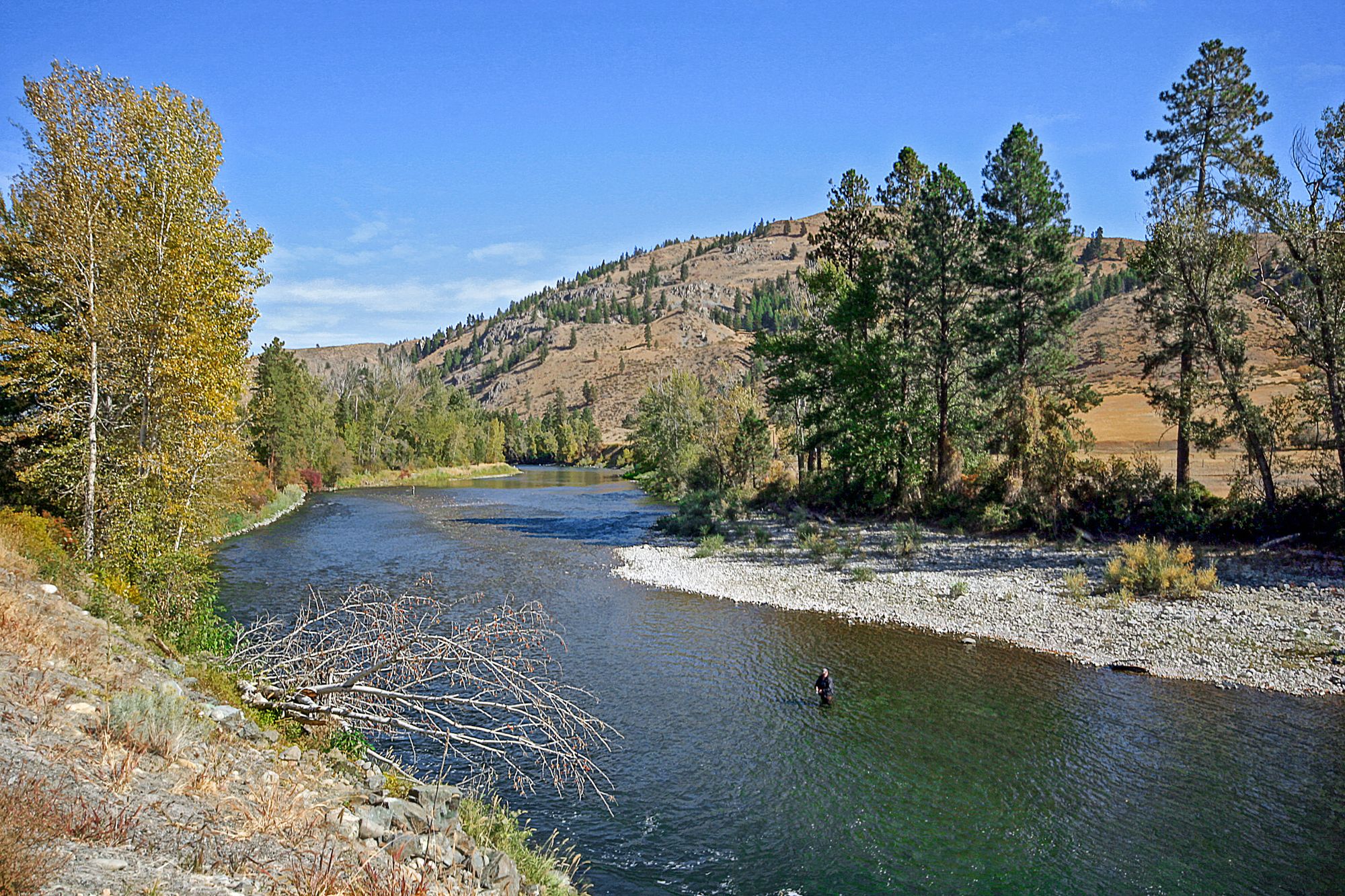
Methow River
Naches River
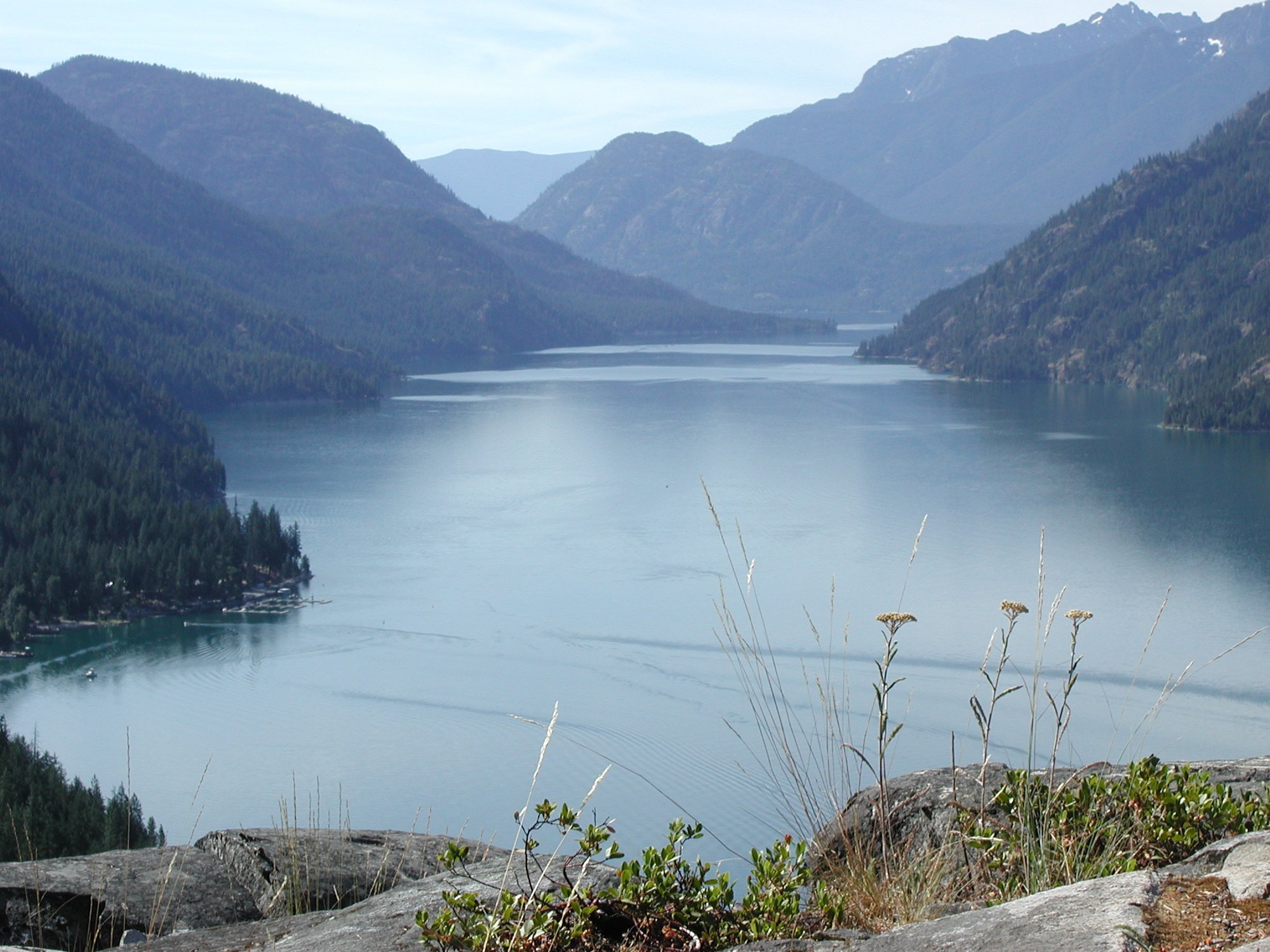
Lake Chelan
Explore Washington waters
Top paddling waters
Popular Cities
Loading popular cities...
Explore near Peshastin Creek
Access points
Nearby waters
More in Washington

Smarter Paddling Starts in the App.
Paddleways gives you everything you need to plan smarter, paddle better, and own every trip from first launch to takeout.