Porcupine Bay
- Saltwater
- Bay
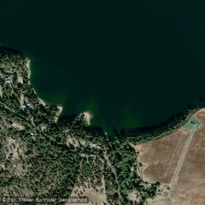
Porcupine Bay
- Saltwater
- Bay
- Sq. miles
- 0.1
- Boat Ramps
- 0
- Access Points
- 0
- Campsites
- 3
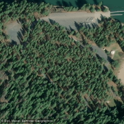
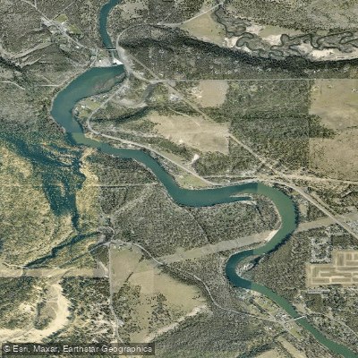
Porcupine Bay is a section of the Spokane River Arm, part of Lake Roosevelt National Recreation Area in Washington. This is a large, human-made reservoir on the Columbia River, with water levels managed by Grand Coulee Dam. The primary and only confirmed public launch point for paddlers is the Porcupine Bay Boat Launch, a paved ramp with a dock, large parking area, vault toilet, and information kiosk. The National Park Service lists a minimum elevation of 1243 feet for the boat launch to be usable, and lake levels fluctuate significantly throughout the year, ranging from 1208 to 1290 feet. Paddlers must check current lake levels before planning a trip. The Porcupine Bay Campground, with 31 individual sites, is directly adjacent to the launch and is reservation-only year-round, though winter services are limited. The area is characterized by high desert terrain with ponderosa pines and shrubs lining the banks, offering a scenic and relatively untouched feel. The Spokane Indian Reservation borders the northern bank, while the southern bank is federal land. The waterway is noted for its quiet, remote character upstream, though powerboat traffic increases downstream towards the confluence with the main body of Lake Roosevelt. A common multi-day paddling route is a 4-night trip from Porcupine Bay Campground and Boat Launch to Spring Canyon, a distance of less than 50 miles. All vessels, including canoes and kayaks, must carry a U.S. Coast Guard-approved life jacket for each person, and children 12 and under must wear them at all times when underway. A sound-producing device like a whistle is also required. The lake supports abundant wildlife, including bald eagles, osprey, blue herons, moose, elk, and deer.
Water access, boat ramps & amenities
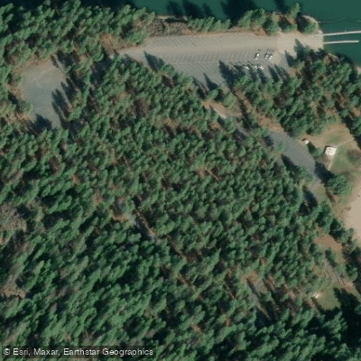
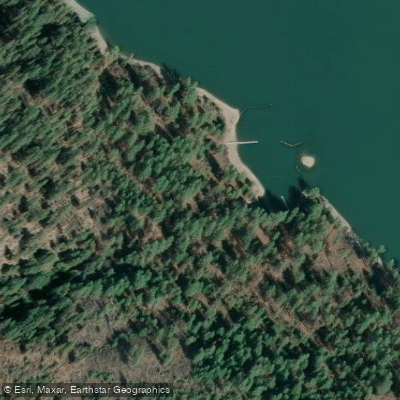
Learn how to get on Porcupine Bay. Uncover great paddling access points, boat ramps, and all the facilities you need for an unforgettable day on the water. Some locations shown may border or include private property. Always check property boundaries and applicable regulations before visiting. PaddleWays's Public & Private Land layer can help you plan your access with confidence.
Paddle smarter with real-time insights
Whether you're en route and conditions shift or you're looking for the best spot based on current flows, we enable you to make informed decisions on the fly.








Find Places to Paddle

Over 400,000 Places to Paddle
Every user gets free access to launch points, boat ramps, and public property parcels.


Tides, wind & water conditions (10 day forecast)
On open water, wind and tide matter as much as the weather. See the best times to paddle Porcupine Bay and check the marine forecast before you launch.
Loading tide predictions…
Paddling near Porcupine Bay
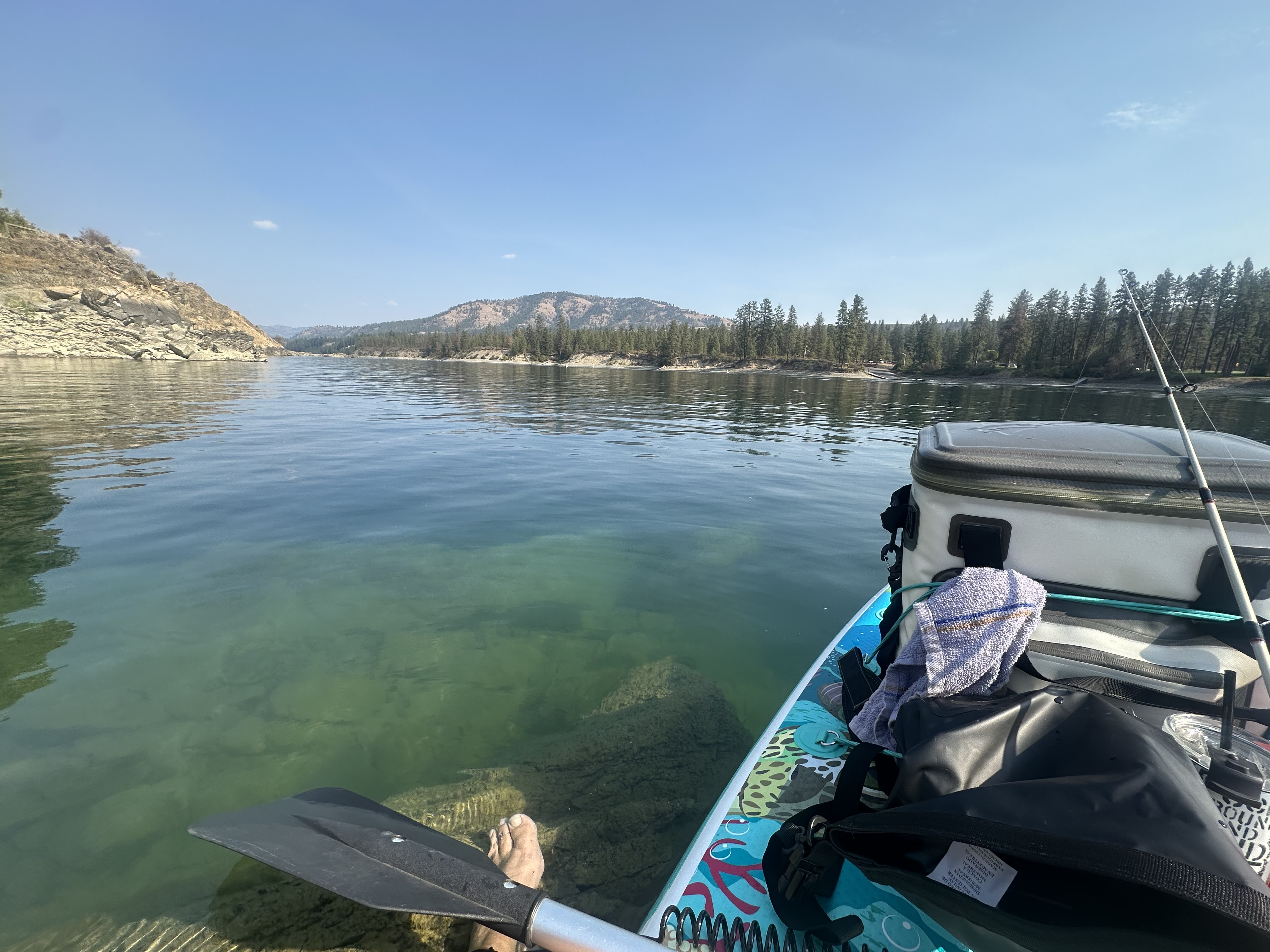
Spokane River
Coeur d'Alene Lake
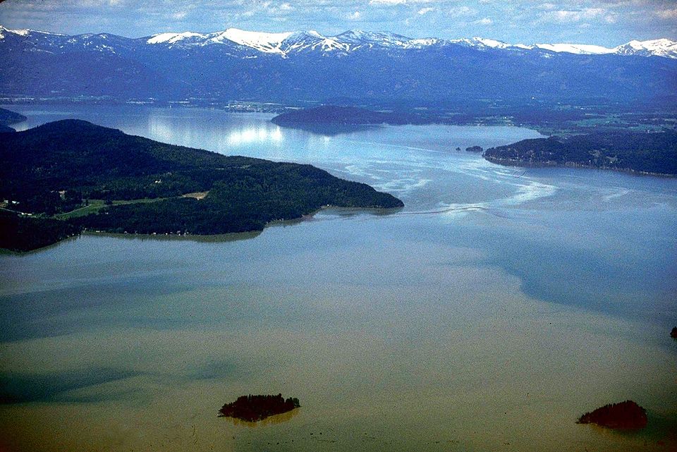
Lake Pend Oreille
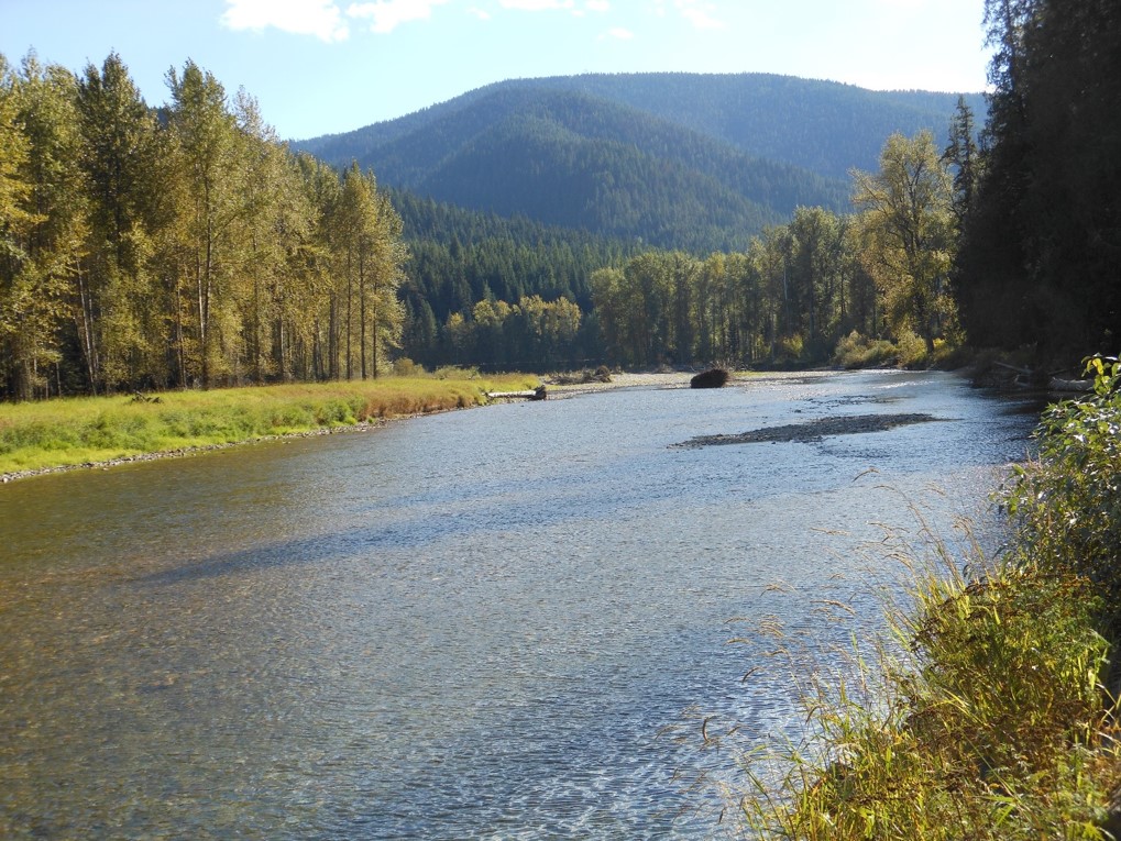
Coeur d'Alene River

Columbia River
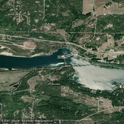
Pend Oreille River
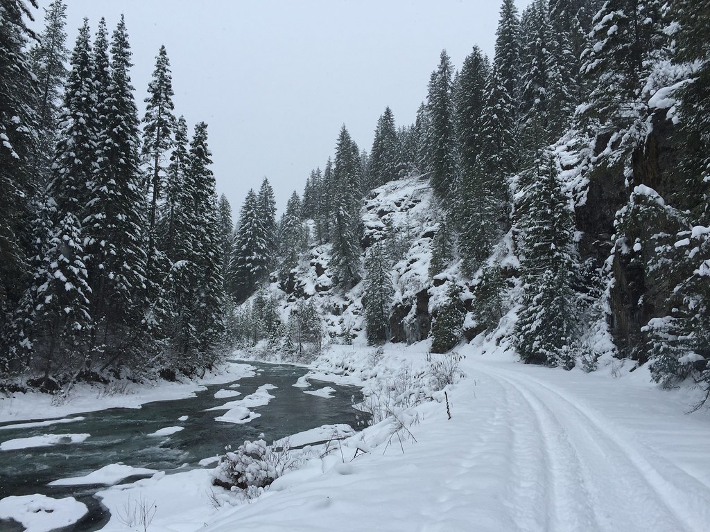
Saint Joe River
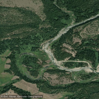
Priest River
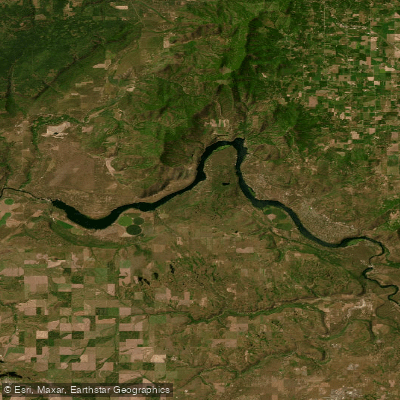
Long Lake
Nine Mile Reservoir
Explore Washington waters
Top paddling waters
Popular Cities
Loading popular cities...
Explore near Porcupine Bay
Nearby waters
More in Washington

Smarter Paddling Starts in the App.
Paddleways gives you everything you need to plan smarter, paddle better, and own every trip from first launch to takeout.