Curated by PaddleWays
RouteFlatwater
- Distance
- 4.5 mi
- Paddle time
- ~1.5 hrs
- Best for
- Kayak, canoe, raft
- Put-in → take-out
- Jackson Lake Dam Picnic Area Boat Launch → Pacific Creek Boat Ramp
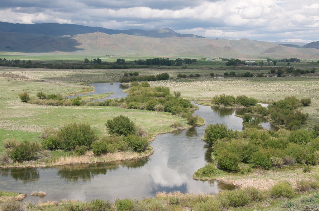
The Snake River is a major waterway that winds through Wyoming, Idaho, and Oregon, offering a diverse range of paddling experiences from serene flatwater to challenging whitewater. Beginning in Wyoming's Grand Teton National Park, the river flows westward through southern Idaho before turning north to form the border between Idaho and Oregon, eventually joining the Columbia River in Washington.
Paddlers can enjoy a variety of sections suited to different skill levels. In Grand Teton National Park, beginners can float the scenic 5-mile stretch from Jackson Lake Dam to Pacific Creek, taking in stunning views of the Teton Range. As the river progresses, it offers increasingly challenging runs, with the 8-mile Alpine Canyon section near Jackson, Wyoming providing exciting Class III-IV rapids popular among intermediate to advanced paddlers.
The river's difficulty ranges from flatwater to Class V+, with some of the most challenging sections found in Idaho. The infamous Milner Mile, a 1.3-mile stretch of continuous Class V+ rapids, is considered one of the most intense whitewater runs in the lower 48 states when it's flowing. Further downstream, Hells Canyon offers a premier multi-day wilderness trip with Class III-IV rapids cutting through North America's deepest river gorge.
The best time to paddle the Snake River varies by section. In Wyoming and upper Idaho, late spring through early fall offers ideal conditions. The Hells Canyon section is typically run from May through September. Some sections, like the Milner Mile, are only runnable during specific release periods, usually in spring when snowmelt increases water levels.
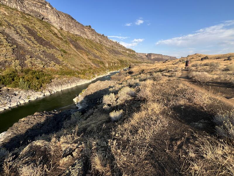
Wildlife is abundant along the Snake River. Paddlers may spot bald eagles, ospreys, moose, and even bears in some areas. The river corridor supports diverse ecosystems, from alpine forests in the upper reaches to arid canyon lands further downstream. Notable landmarks include the Grand Tetons, Shoshone Falls (higher than Niagara Falls), and the impressive basalt cliffs of Hells Canyon.
The river passes near several towns that serve as access points, including Jackson, Wyoming; Twin Falls, Idaho; and Lewiston, Idaho. The Snake River holds significant historical and cultural importance. It was a major transportation route for Native American tribes and later played a crucial role in the Lewis and Clark expedition. Today, it remains vital for irrigation, hydroelectric power, and recreation.
Safety considerations vary by section, but all paddlers should be aware of rapidly changing water levels, especially below dams. Personal flotation devices are required, and permits are necessary for certain sections, particularly in Hells Canyon and Grand Teton National Park. For those seeking multi-day adventures, the 79-mile Hells Canyon trip from Hells Canyon Dam to Heller Bar is a classic, typically taking 5-6 days. In Wyoming, paddlers can link several sections for extended trips through Grand Teton National Park and beyond.
Whether you're seeking a peaceful float with mountain views or an adrenaline-pumping whitewater experience, the Snake River offers a paddling adventure to suit almost any preference and skill level.
Curated routes
Hand-picked by the PaddleWays team, with put-ins, take-outs, paddle times and the hazards along the way.
RouteFlatwater
RouteFlatwater
RouteClass III
RouteClass V
RouteClass II–III
RouteClass II–III
RouteClass IV
RouteClass III–IV
RouteClass II
RouteClass I–III
RouteClass IV–V
RouteFlatwater
RouteClass II
RouteClass II
RouteClass II–III
RouteClass I–II
RouteClass I–II
RouteClass IV
RouteClass II–III
RouteClass II
RouteClass I–III
RouteClass II–III
RouteClass IV
RouteClass I–III
RouteClass IV
Hazards
No paddler has reported a hazard here yet, so these are the dams, falls and big rapids on our map. Hazards change with flows and storms, so check them before you launch.
Dam
Dam
DamIdaho Falls
Dam
Dam
DamIdaho Falls
DamMoran
From the community
Real trips from PaddleWays paddlers: which route they ran, how the flows were, and what to watch for.
Loading trip reports
JT F.
Raft •
West Table to Sheep Gulch

Denise J.
Kayak •
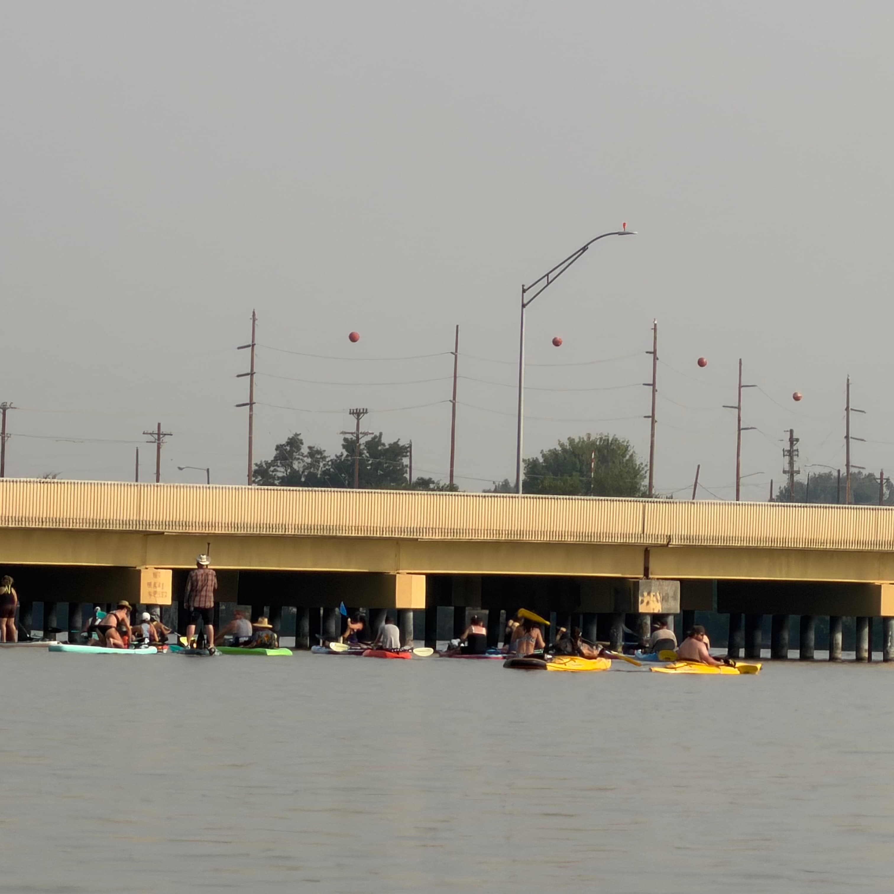
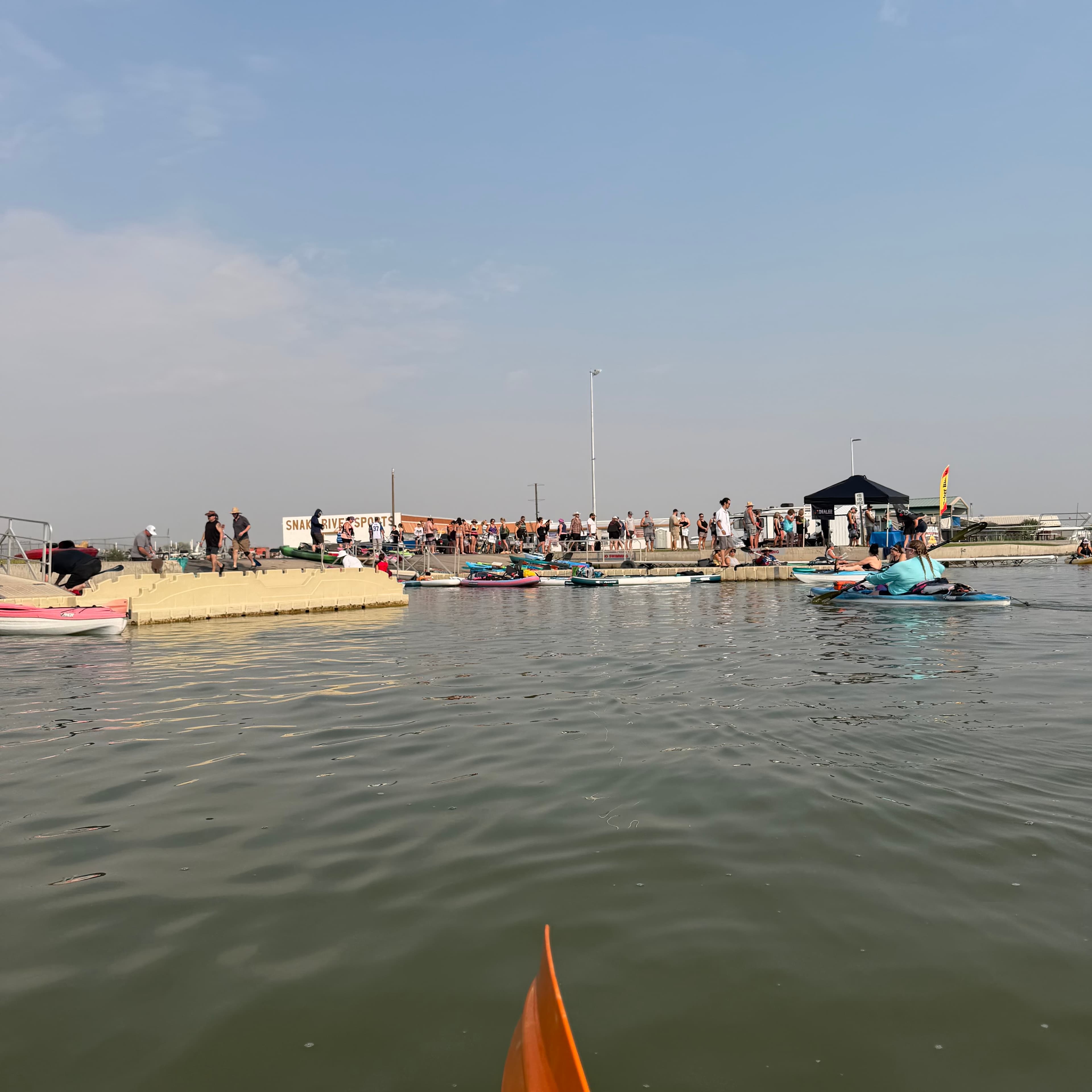
Riverside Resort & RV Park Annual Kayak Poker Run each waypoint has easy access to get out and back in, with picnic areas and restrooms. This float can take 2 hours to lake day depending on how much you paddle. We did it in 4 hours with 5 stops for the event.
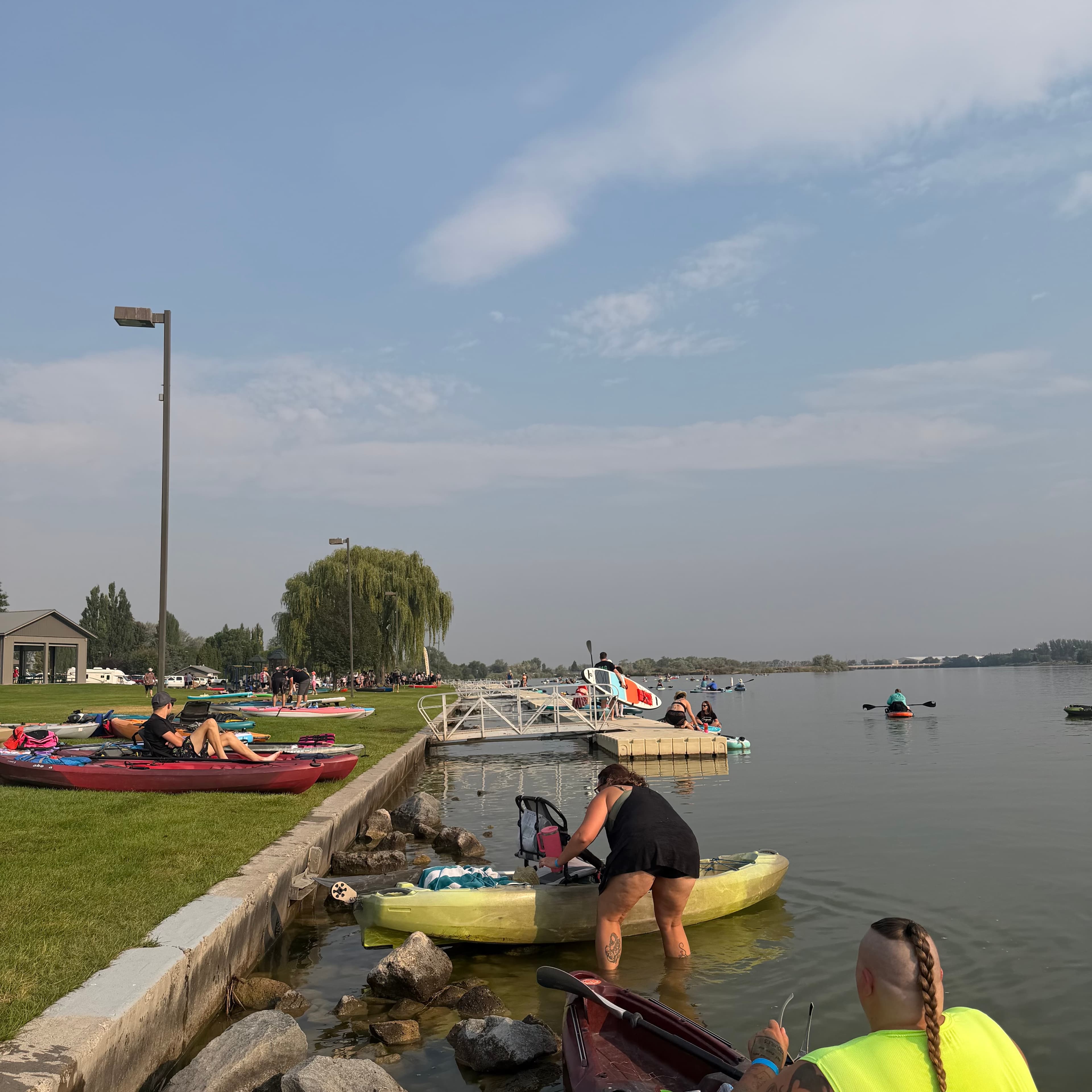 +2
Aly T.
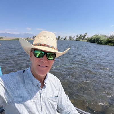
Jackson Lake Dam to Pacific Creek• 4,940 cfs at Moran
Dam to Pacific Creek
Mike M.
Raft •
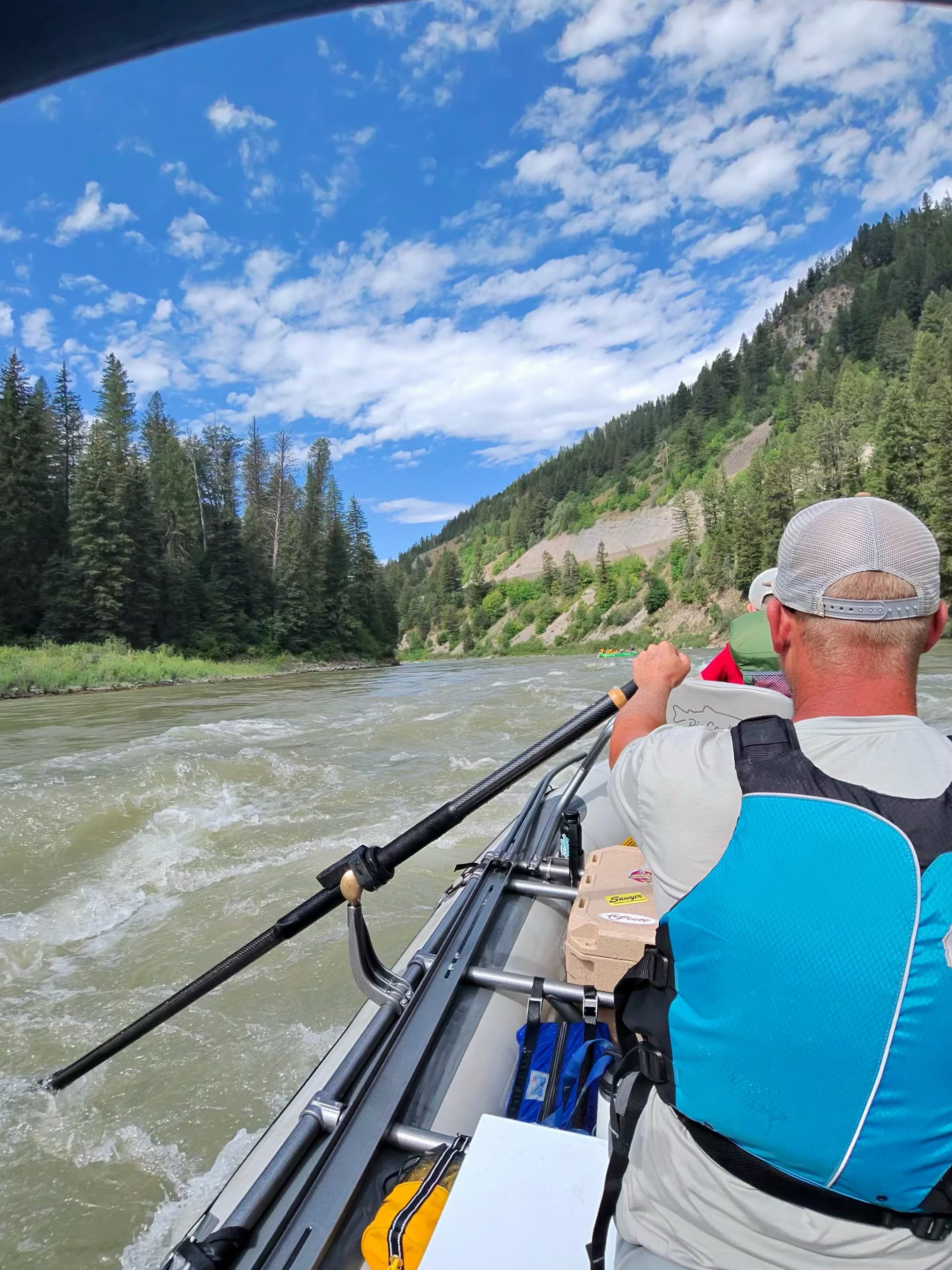
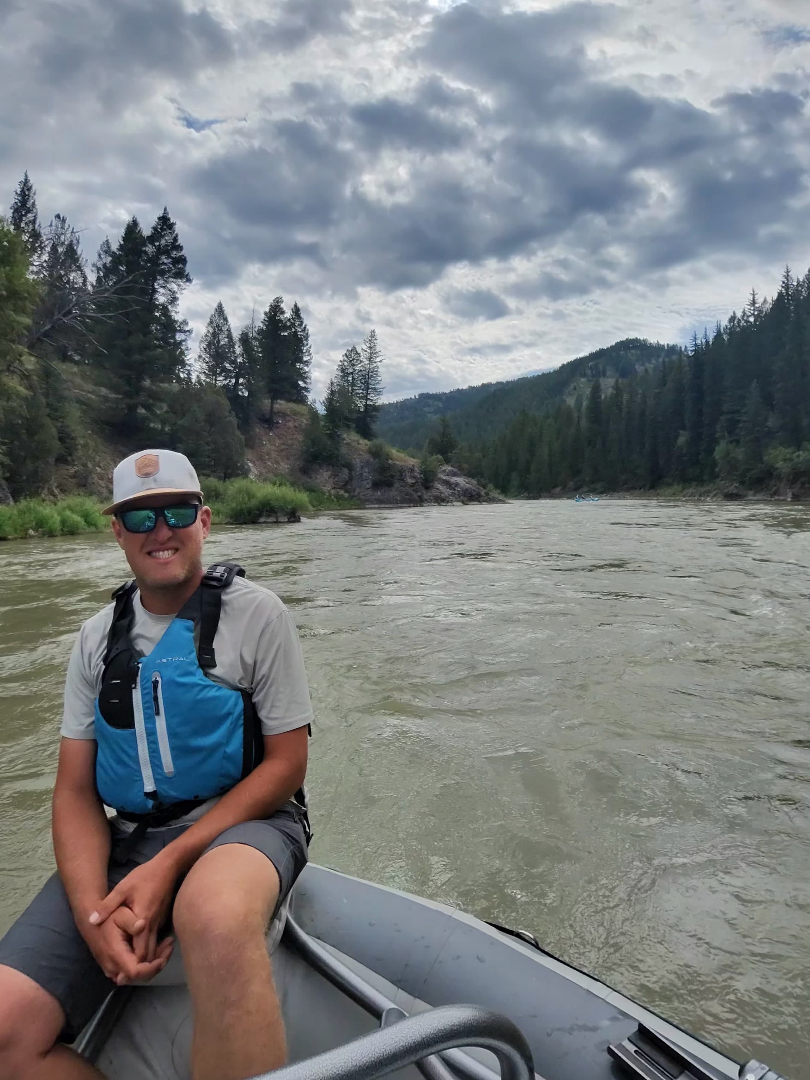
Snake River - Alpine Canyon• 7,410 cfs at Alpine
First class III in the Rio Craft. boat was amazing. Fun rapids, big wave trains
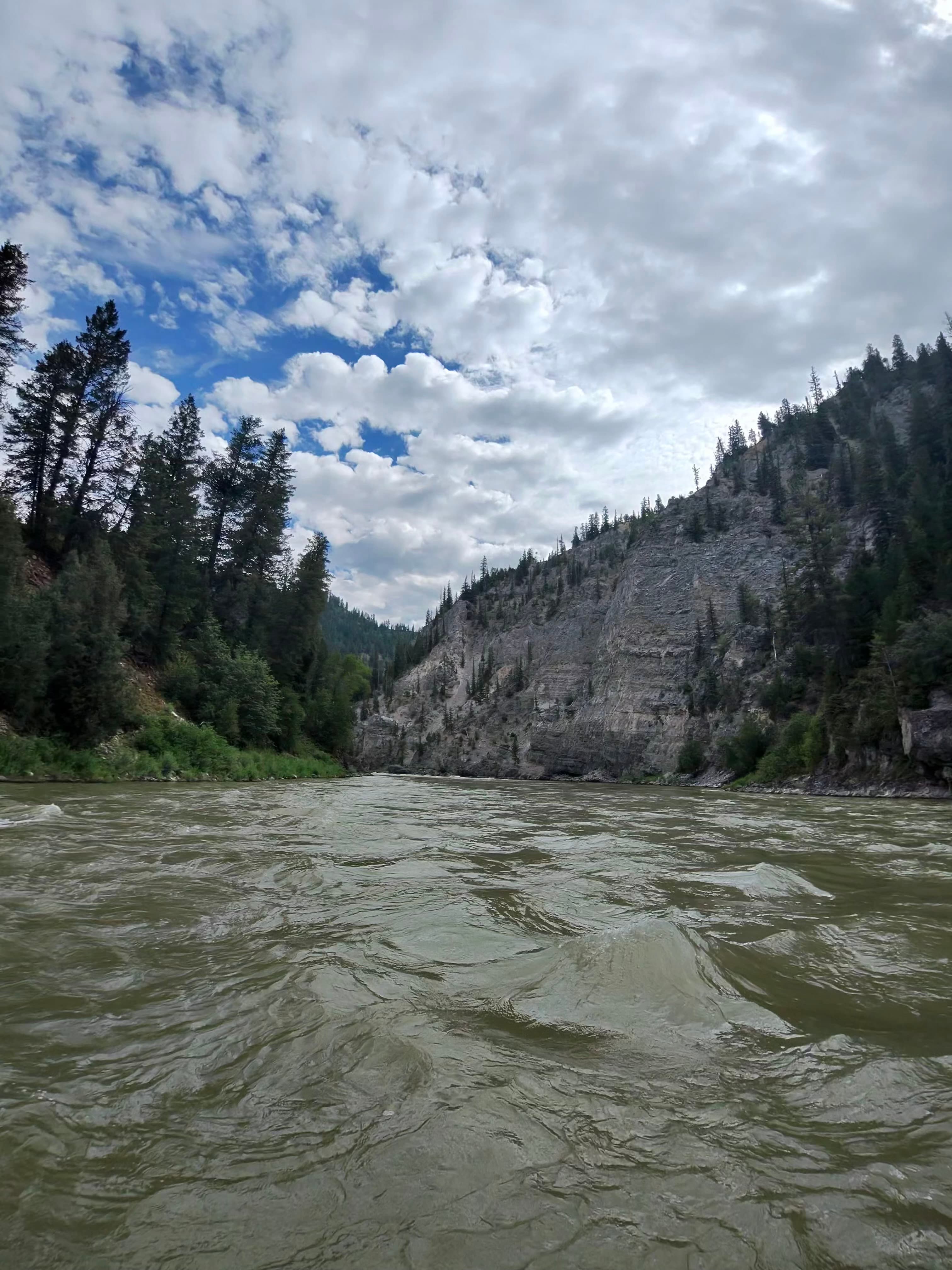

Kevin M. •
The snake near Jackson looks like chocolate milk right now but people are still having fun! Big kahuna and lunch table look awesome right now
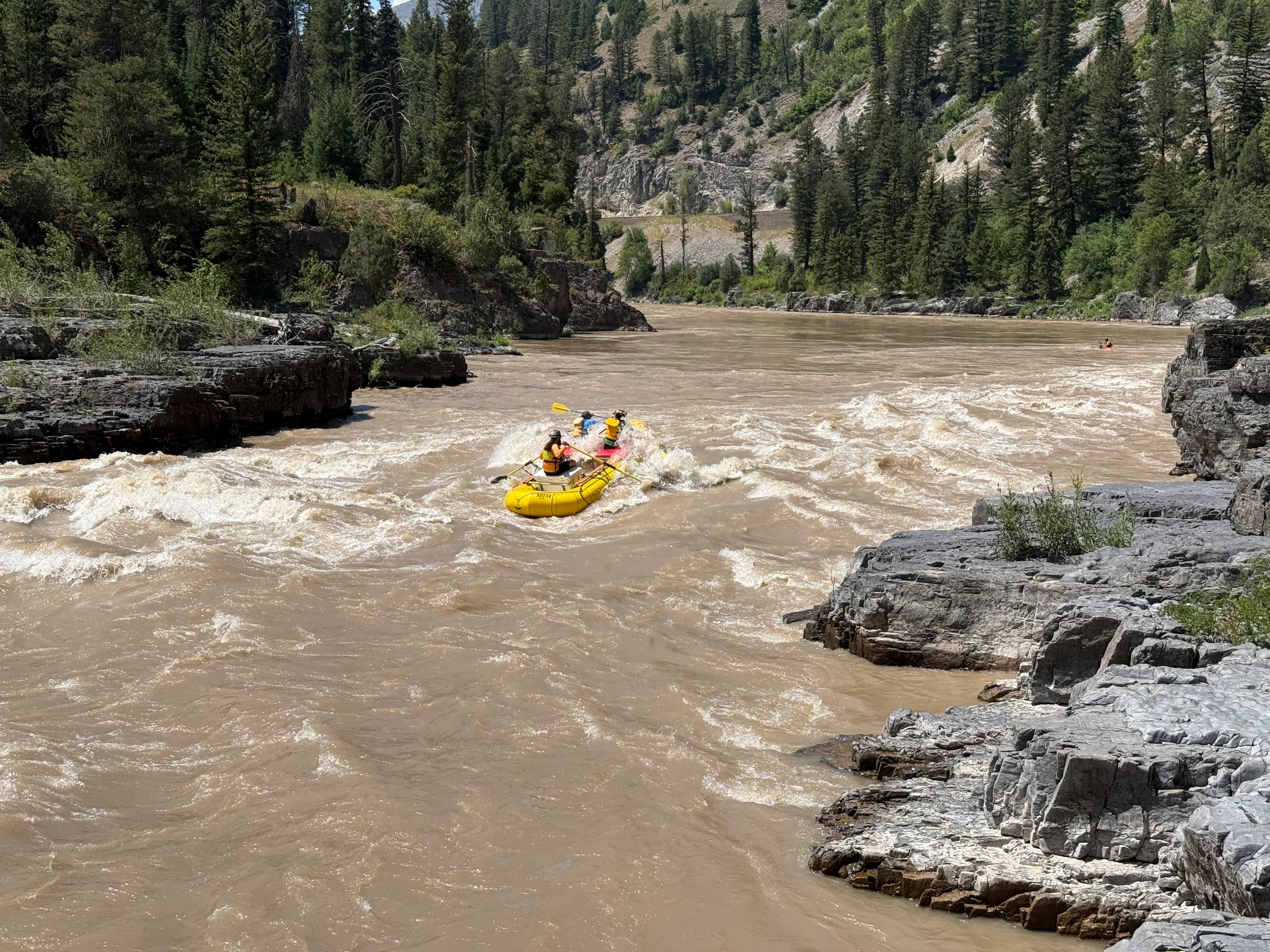
Rian J. •
Paddled on 08/09/25. Water was fantastic did get a bit windy near the end of our day but it was an absolute blast! so many different birds flying around as well! My bassets love to paddle just as much as I do!
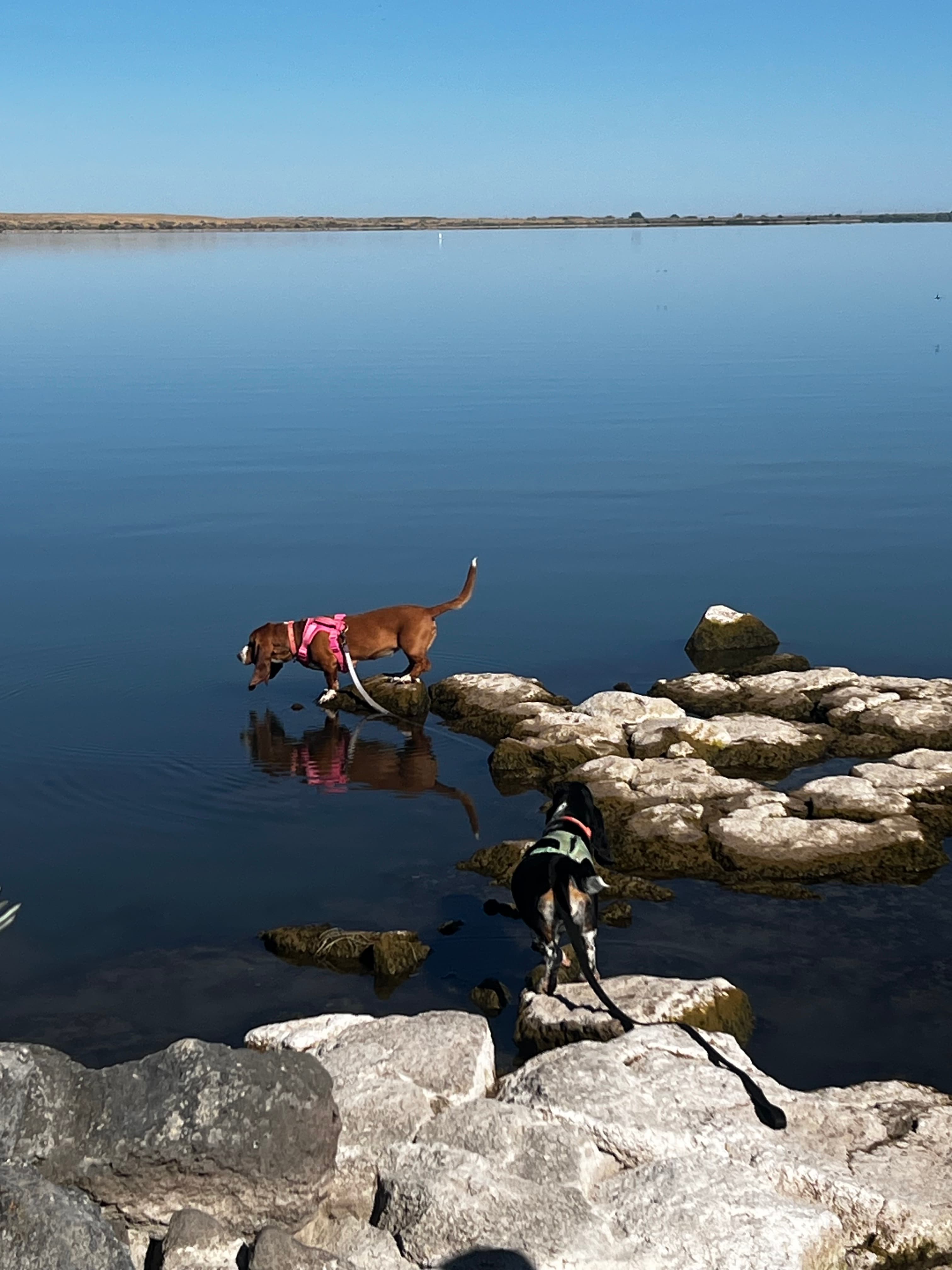
See exactly where the public can get on and off the river. Launch points and boat ramps are paired with PaddleWays' public land data so you know where you can legally land.
Public shoreline
33%of the river's shoreline is public
Most of the riverbank is private. Launch, land and camp only at public access points.
Flows, weather and a route-by-route verdict, so you know which stretch of the Snake River is worth paddling today.
All Flow Stations
Scheduled releases and generation forecasts from the dams on Snake River.
Snake River · Hells Canyon, below the dam · Idaho Power
8,760 cfs now
Forecast updated Sat, Nov 21 at 4:22 PM MST. Schedules can change, so check the operator's page before you go.
Live flows, marked hazards and fresh trip reports from paddlers who were just on the water, all in one place.





Every user gets free access to launch points, boat ramps, and public property parcels.
What you need to float or boat Snake River, and when to apply.
Grand Teton National Park
Boater pass · All boaters · Required year-round
Every watercraft on Grand Teton's lakes and the Snake River needs a park boat permit, $25 non-motorized and $75 motorized.
Checked Nov 4, 2026 with Grand Teton National Park
Hells Canyon
Lottery permit · Private trips · Required year-round
Every private float through Hells Canyon needs a permit, and launches in the summer primary season are drawn in the Four Rivers lottery.
Checked Nov 4, 2026 with Wallowa-Whitman National Forest
Hells Canyon
Reservation permit · Motorboats · Required May 28 to Sep 10
Private powerboats in Hells Canyon need a reservation during the primary season, which runs May 28 to Sep 10 in 2027.
Checked Nov 4, 2026 with Wallowa-Whitman National Forest
Salmon confluence to Heller Bar, on Lower Salmon trips
Self-issue permit · Private trips · Required year-round
Private trips on the Lower Salmon below Hammer Creek need a free self-issued BLM permit, all year for overnight trips and July 1 to Labor Day for day trips.
Checked Nov 4, 2026 with BLM Cottonwood Field Office
Snake River Canyon (Hoback to Alpine)
Boater pass · All boaters · Required May 1 to Nov 1
Everyone using the Snake River Canyon from May 1 to Nov 1 needs a $5 day or season pass, and groups of 16 to 30 need a launch reservation.
Checked Nov 4, 2026 with Bridger-Teton National Forest
South Park Bridge to Sheep Gulch
Reservation permit · Private trips · Required May 1 to Oct 1
Non-commercial groups of 16 to 30 launching on the Snake between South Park Bridge and Sheep Gulch need a timed launch reservation.
Checked Nov 4, 2026 with Bridger-Teton National Forest
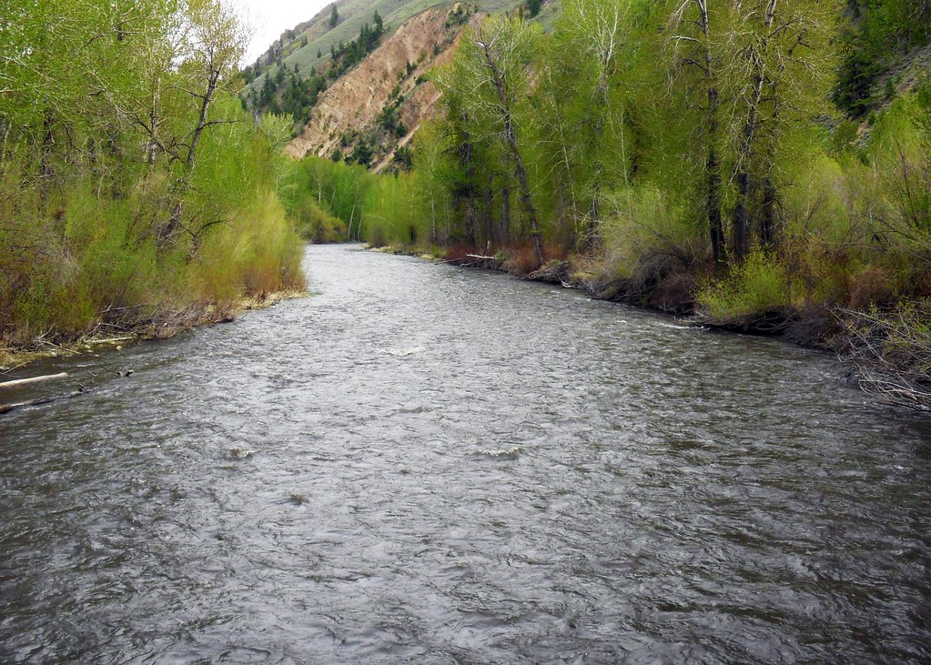
PaddleWays gives you everything you need to plan smarter, paddle better, and own every trip from first launch to takeout.