Spokane River Arm
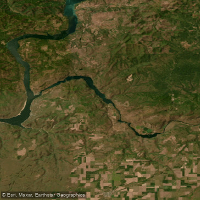
Spokane River Arm
- Boat Ramps
- 2
- Access Points
- 5
- Campsites
- 14
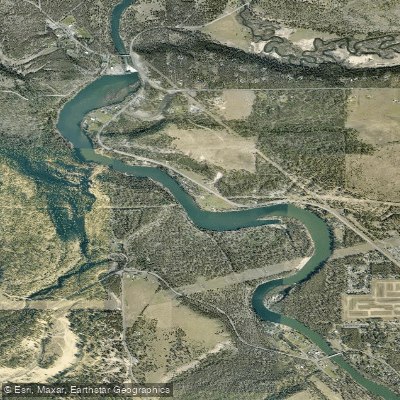
The Spokane River Arm, part of Lake Roosevelt in Washington, offers paddlers a broad, lake-like section with opportunities for day trips and overnight excursions. This stretch begins below Little Falls Dam and extends to Lake Roosevelt proper. The waterway sees heavy motorized boat traffic, so paddlers should stay near the banks for safety and to avoid strong winds that can occur.
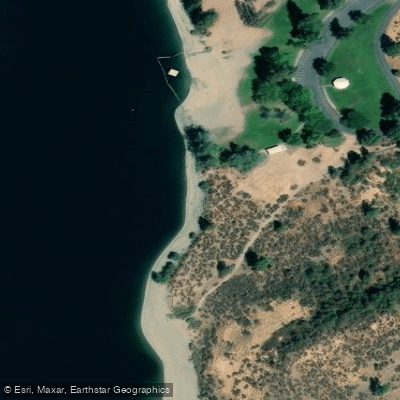
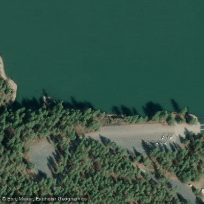
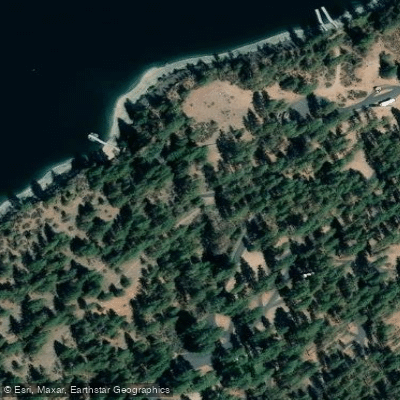
Access points include Porcupine Bay, where paddlers can put in and tour up or downstream. The next access point is Fort Spokane, located 9.4 miles downstream. Pit toilets are available at boat-in only camp areas along the route. The entire river right shoreline of this reach is part of the Spokane Tribe of Indians Reservation, adding cultural significance to the paddle.
For overnight trips, paddlers can utilize boat-in campgrounds and practice shoreline camping. A recommended 4-night trip covering roughly 50 miles runs from Porcupine Bay Campground/Boat Launch to Spring Canyon. Both starting and stopping points have parking lots and toilets.
Safety considerations include wearing a U.S. Coast Guard-approved life jacket at all times, which is required by Washington State regulations. Children 12 and under must wear life jackets when in vessels less than 19 feet long. Hypothermia is a significant risk due to cold, fast-moving water.
Paddlers should be aware that Lake Roosevelt is an active reservoir with changing water levels throughout the year. Lower water levels result in faster currents. A boat launch pass is required when using designated boat launches, but is not needed when launching from the shoreline.
Wildlife enthusiasts may spot various water-loving birds and other animals along the shoreline. The area's natural beauty offers a stark contrast to the nearby metropolitan area, providing a wilderness-like experience despite its proximity to populated regions.
Water access, boat ramps & amenities
Learn how to get on Spokane River Arm. Uncover great paddling access points, boat ramps, and all the facilities you need for an unforgettable day on the water. Some locations shown may border or include private property. Always check property boundaries and applicable regulations before visiting. PaddleWays's Public & Private Land layer can help you plan your access with confidence.
Paddle smarter with real-time insights
Whether you're en route and conditions shift or you're looking for the best spot based on current flows, we enable you to make informed decisions on the fly.








Find Places to Paddle

Over 400,000 Places to Paddle
Every user gets free access to launch points, boat ramps, and public property parcels.


Water and weather conditions (10 day forecast)
See the best times to paddle Spokane River Arm and check the forecast before you go.
No forecast data available.
Paddling near Spokane River Arm
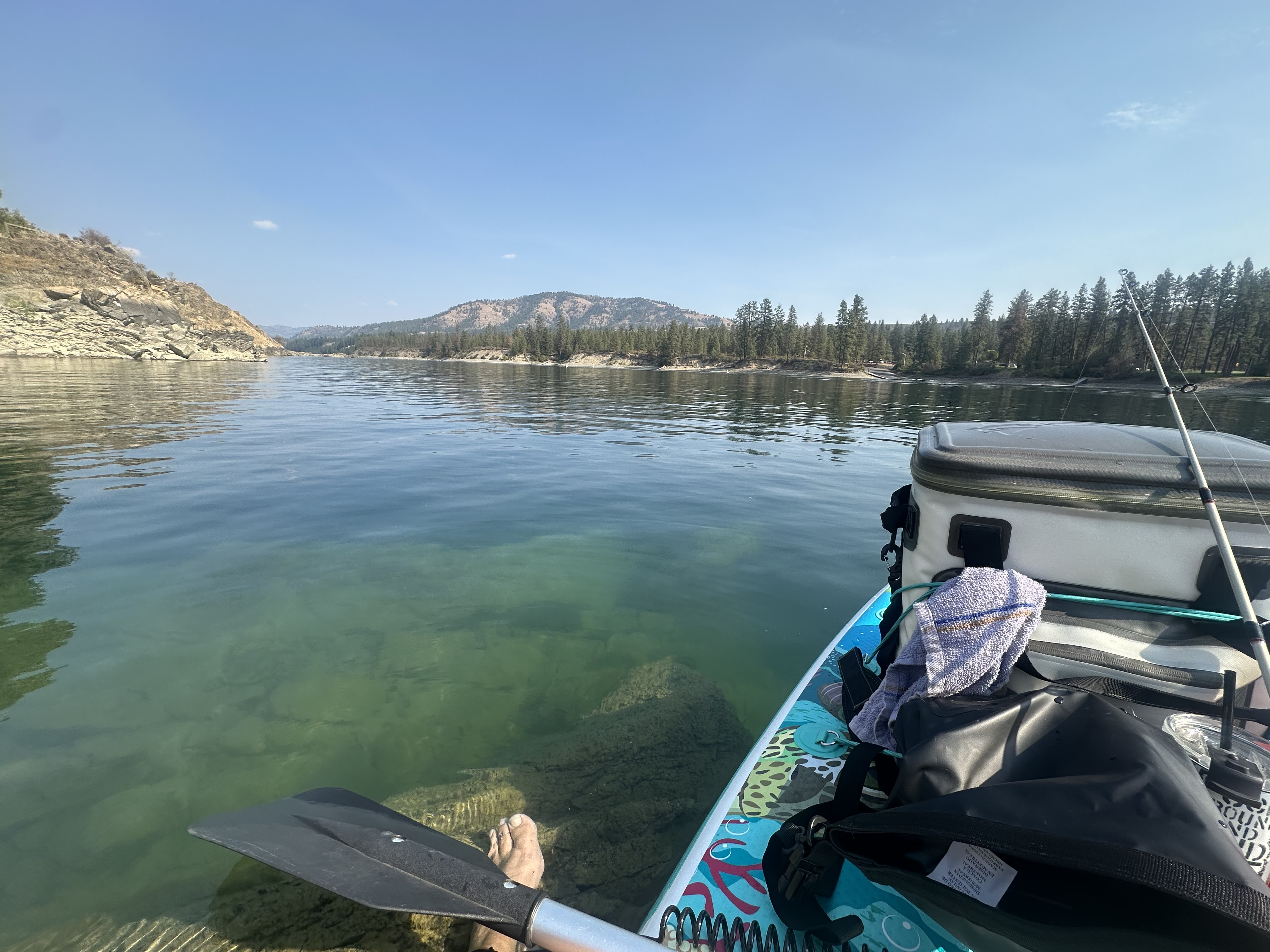
Spokane River
Coeur d'Alene Lake
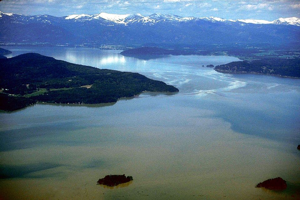
Lake Pend Oreille
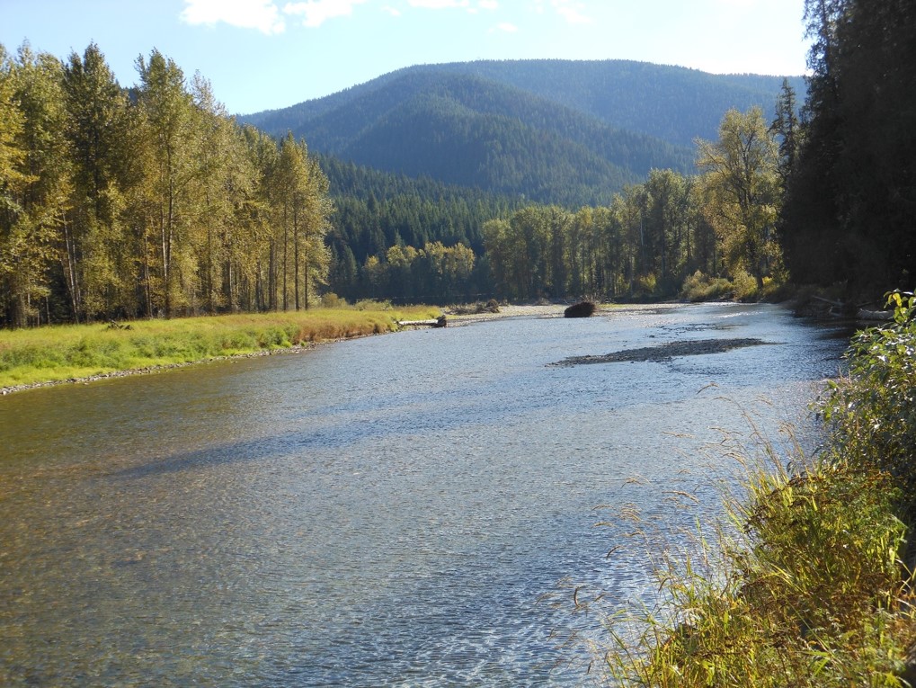
Coeur d'Alene River

Columbia River
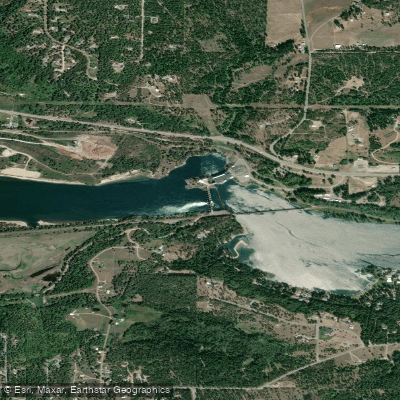
Pend Oreille River
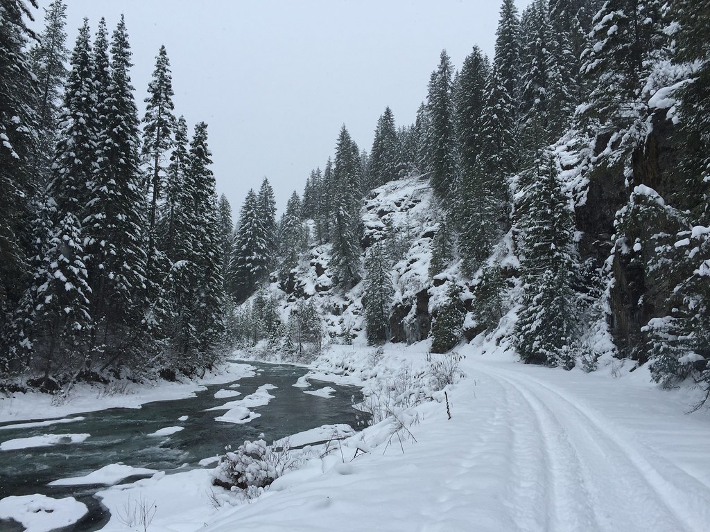
Saint Joe River
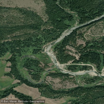
Priest River
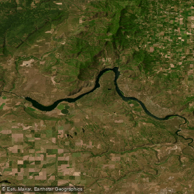
Long Lake
Nine Mile Reservoir
Explore Washington waters
Top paddling waters
Popular Cities
Loading popular cities...
Explore near Spokane River Arm
Access points
Nearby waters
More in Washington

Smarter Paddling Starts in the App.
Paddleways gives you everything you need to plan smarter, paddle better, and own every trip from first launch to takeout.