Spokane River
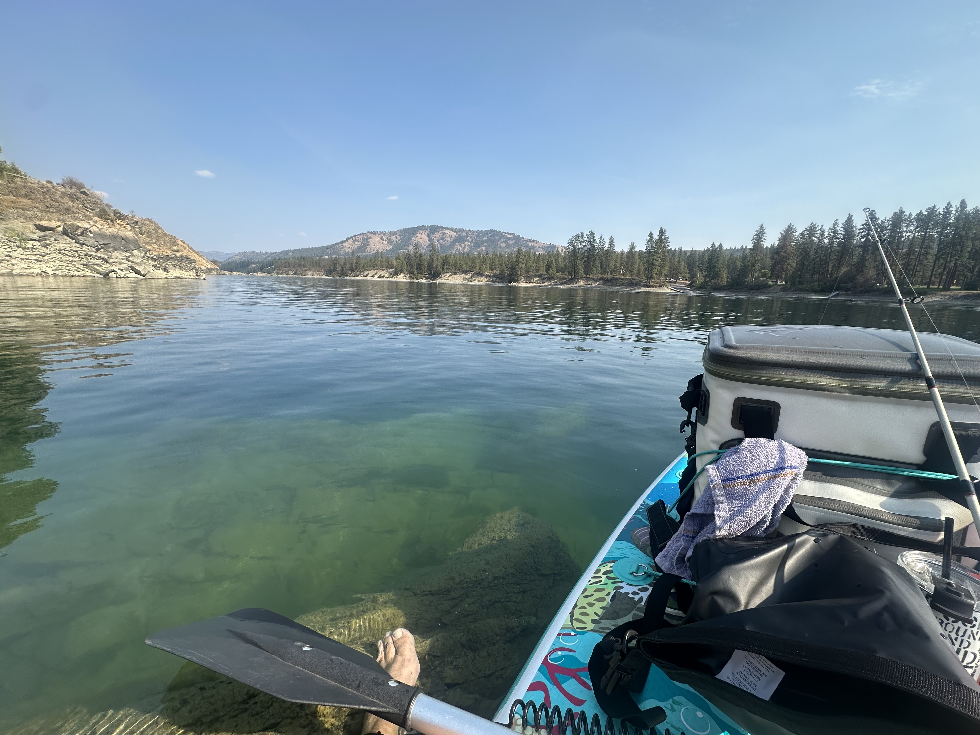
Spokane River
- Boat Ramps
- 9
- Access Points
- 15
- Campsites
- 29
The Spokane River is a 111-mile long waterway that originates from Lake Coeur d'Alene in northern Idaho and flows westward into eastern Washington before joining the Columbia River. Its primary watershed encompasses parts of both states, with the Little Spokane River serving as a major tributary. Paddling opportunities on the Spokane River range from calm flatwater sections to challenging whitewater, offering something for all skill levels.
The river can be divided into several distinct sections: 1. The Idaho Section: A scenic 4-mile stretch with Class I rapids and popular play spots like Trailer Park Wave. 2. Upper Spokane River: Varied paddling from flatwater to Class III rapids as it approaches Spokane. 3. Downtown Spokane: An urban paddling experience with Class I-II rapids. 4. Lower Spokane River: Includes the challenging Bowl & Pitcher and Devil's Toenail rapids (Class II-III). 5. Lake Spokane: A 28-mile flatwater section perfect for leisurely paddling. 6. Little Falls Dam to Columbia River: A 29-mile undeveloped stretch leading to Lake Roosevelt.
The overall difficulty ranges from flatwater to Class III rapids, with some sections suitable for beginners and others requiring advanced skills. Paddlers should always check current conditions and their abilities before attempting any section. Spring and early summer typically offer the best paddling conditions, with higher water levels. However, some sections like Lake Spokane are enjoyable throughout the summer and fall.
The river corridor supports diverse wildlife, including ospreys, bald eagles, and various fish species. Ponderosa pines dominate much of the surrounding landscape. Key landmarks include the Bowl & Pitcher rock formation, the urban Spokane Falls, and several dams that create distinct paddling sections. Access points are numerous, with major put-ins and take-outs near Post Falls, Spokane, and Nine Mile Falls.
Historically, the Spokane River played a crucial role for indigenous peoples and early settlers. Today, it remains an important recreational and ecological resource for the region. Safety considerations include being aware of dam operations, avoiding high water periods for inexperienced paddlers, and exiting the river at designated points before challenging rapids. Some sections, like the Little Spokane River Natural Area, have specific regulations prohibiting swimming and alcohol consumption.
Multi-day trips are possible, especially on the lower sections and Lake Spokane, where boat-in campsites are available. These longer journeys offer a chance to fully immerse in the river's diverse environments and rich history.
Water access, boat ramps & amenities
Learn how to get on Spokane River. Uncover great paddling access points, boat ramps, and all the facilities you need for an unforgettable day on the water. Some locations shown may border or include private property. Always check property boundaries and applicable regulations before visiting. PaddleWays's Public & Private Land layer can help you plan your access with confidence.
Little Falls Dam Access
Long Lake Dam Access
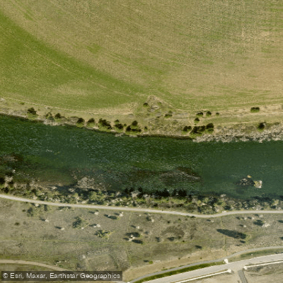
Harvard Park Fishing Access Site
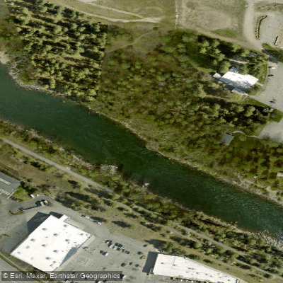
Sullivan Park Fishing Access Site
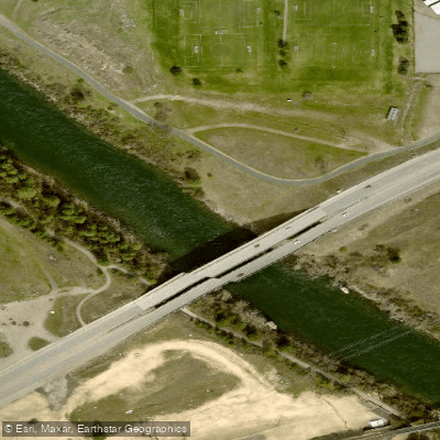
Islands Trailhead Fishing Access Site
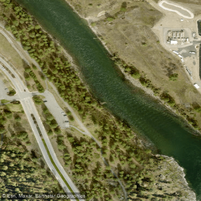
Mirabeau Fishing Access Site
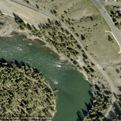
Northwest Boulevard Fishing Access Site
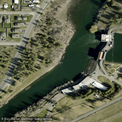
Upriver Dam Fishing Access Site
Downtown Spokane Access
Paddle smarter with real-time insights
Whether you're en route and conditions shift or you're looking for the best spot based on current flows, we enable you to make informed decisions on the fly.








Find Places to Paddle

Over 400,000 Places to Paddle
Every user gets free access to launch points, boat ramps, and public property parcels.


Water and weather conditions (10 day forecast)
See the best times to paddle Spokane River and check the forecast before you go.
Spokane River near Post Falls, ID
All Flow Stations
Paddling near Spokane River
Coeur d'Alene Lake
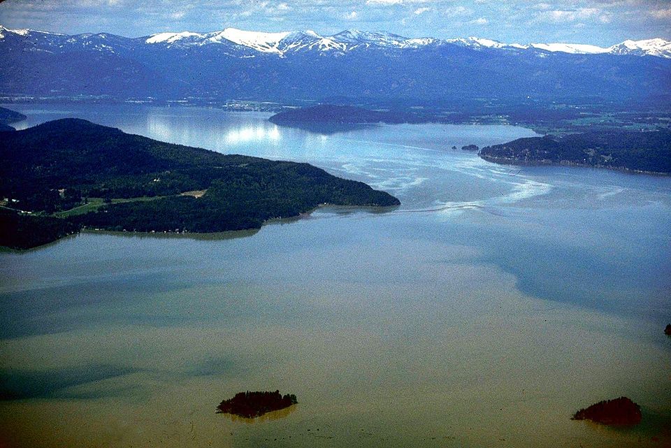
Lake Pend Oreille
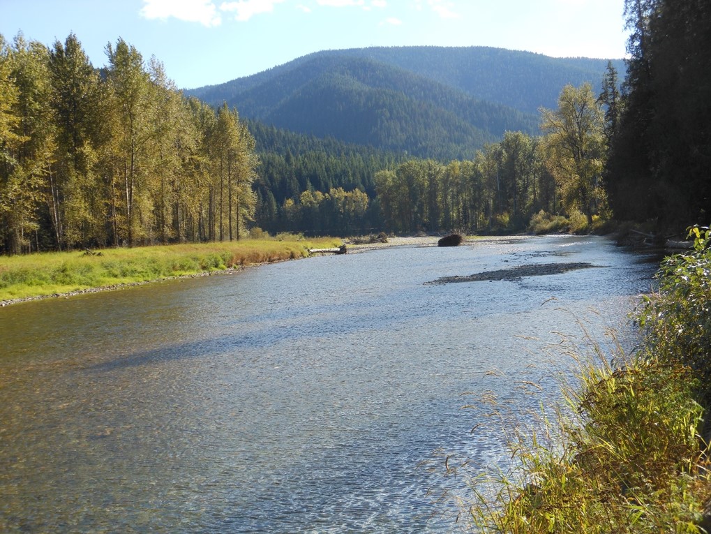
Coeur d'Alene River

Columbia River
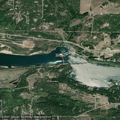
Pend Oreille River
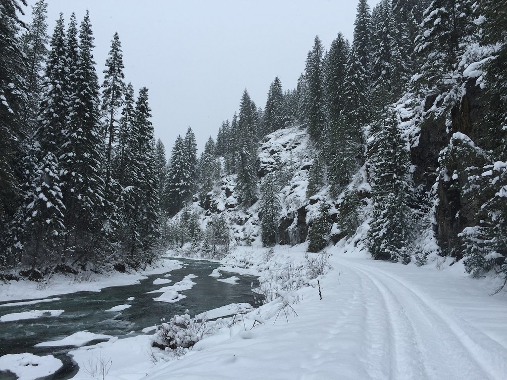
Saint Joe River
Priest River
Long Lake
Nine Mile Reservoir
Explore Washington waters
Top paddling waters
Popular Cities
Loading popular cities...
Explore near Spokane River
Access points
Nearby waters
More in Washington

Smarter Paddling Starts in the App.
Paddleways gives you everything you need to plan smarter, paddle better, and own every trip from first launch to takeout.