Winchester Wasteway
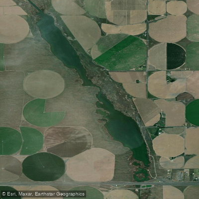
Winchester Wasteway
- Boat Ramps
- 4
- Access Points
- 8
- Campsites
- 0
Winchester Wasteway, located in Grant County, Washington, offers paddlers a unique desert waterway experience through the Columbia Basin. This irrigation runoff channel flows through a landscape transformed by the Columbia Basin Project, creating an oasis for wildlife and paddling opportunities in an otherwise arid environment. The primary put-in is accessed via Dodson Road, approximately 13 miles west of Moses Lake off Interstate 90. Paddlers should obtain a Washington Department of Fish and Wildlife vehicle parking permit. The most popular route runs roughly 25 miles downstream toward Potholes Reservoir, with an intermediate take-out at a flow gauge station accessible from Road C-SE, approximately at the midpoint. The full trip concludes at Potholes State Park or MarDon Resort.
Spring (late March through early April) offers prime paddling conditions with moderate flows, nesting waterfowl, and pleasant temperatures. Water levels remain navigable year-round, though flows can double from late October through November.
The channel character varies considerably: wide, lazy sections alternate with narrower passages requiring sharp turns and maneuvering through vegetation. Navigation can be challenging, as the channel braids through sand dunes with occasional dead-ends requiring backtracking. A notable hazard exists downstream from the gauge station where a waterfall requires a 100-yard portage. Paddlers must watch for a marked takeout to avoid swift water and a 10-foot final drop. The lower section also features overhanging Russian olive branches and rockier substrate.
Wildlife viewing is exceptional, with abundant waterfowl including sandhill cranes, ducks, geese, and red-winged blackbirds. Beavers and muskrats are common. The surrounding landscape features dramatic contrasts between desert dunes and wetland vegetation. Fishing opportunities exist for bass in off-channel sloughs and carp in wider sections.
Primitive camping is available on sand dunes along state-managed lands, though paddlers must pack drinking water.
Water access, boat ramps & amenities
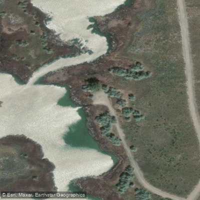
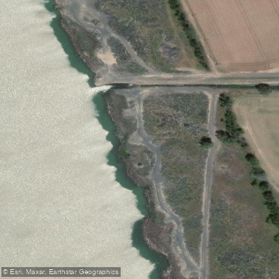
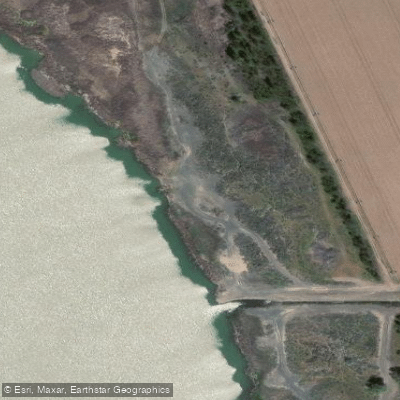
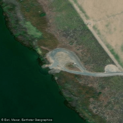
Learn how to get on Winchester Wasteway. Uncover great paddling access points, boat ramps, and all the facilities you need for an unforgettable day on the water. Some locations shown may border or include private property. Always check property boundaries and applicable regulations before visiting. PaddleWays's Public & Private Land layer can help you plan your access with confidence.
Paddle smarter with real-time insights
Whether you're en route and conditions shift or you're looking for the best spot based on current flows, we enable you to make informed decisions on the fly.








Find Places to Paddle

Over 400,000 Places to Paddle
Every user gets free access to launch points, boat ramps, and public property parcels.


Water and weather conditions (10 day forecast)
See the best times to paddle Winchester Wasteway and check the forecast before you go.
No forecast data available.
Paddling near Winchester Wasteway
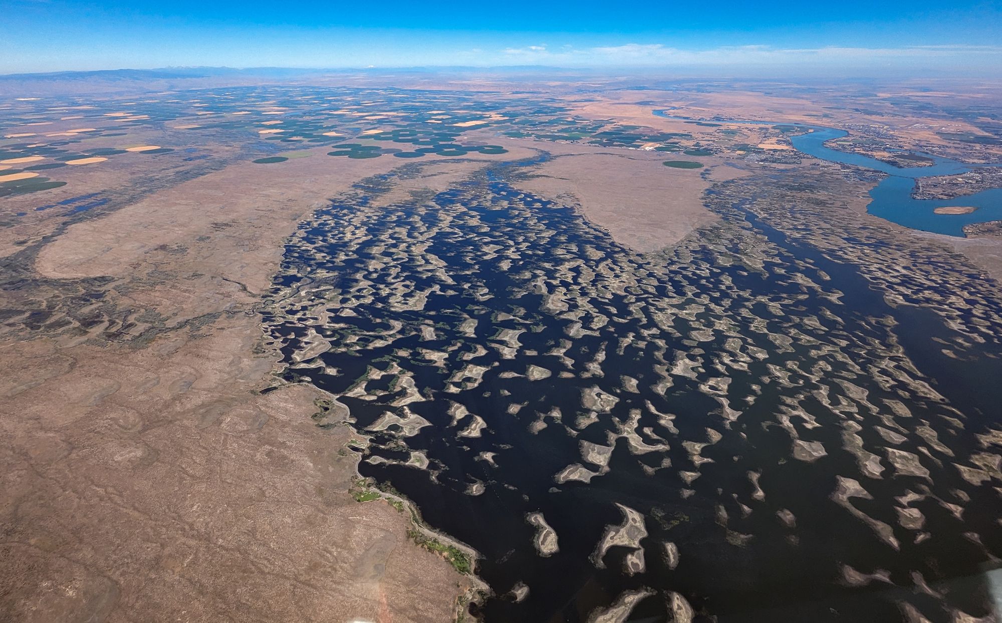
Potholes Reservoir
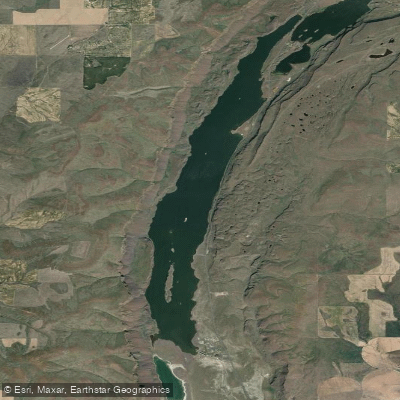
Lenore Lake
Long Lake

Columbia River
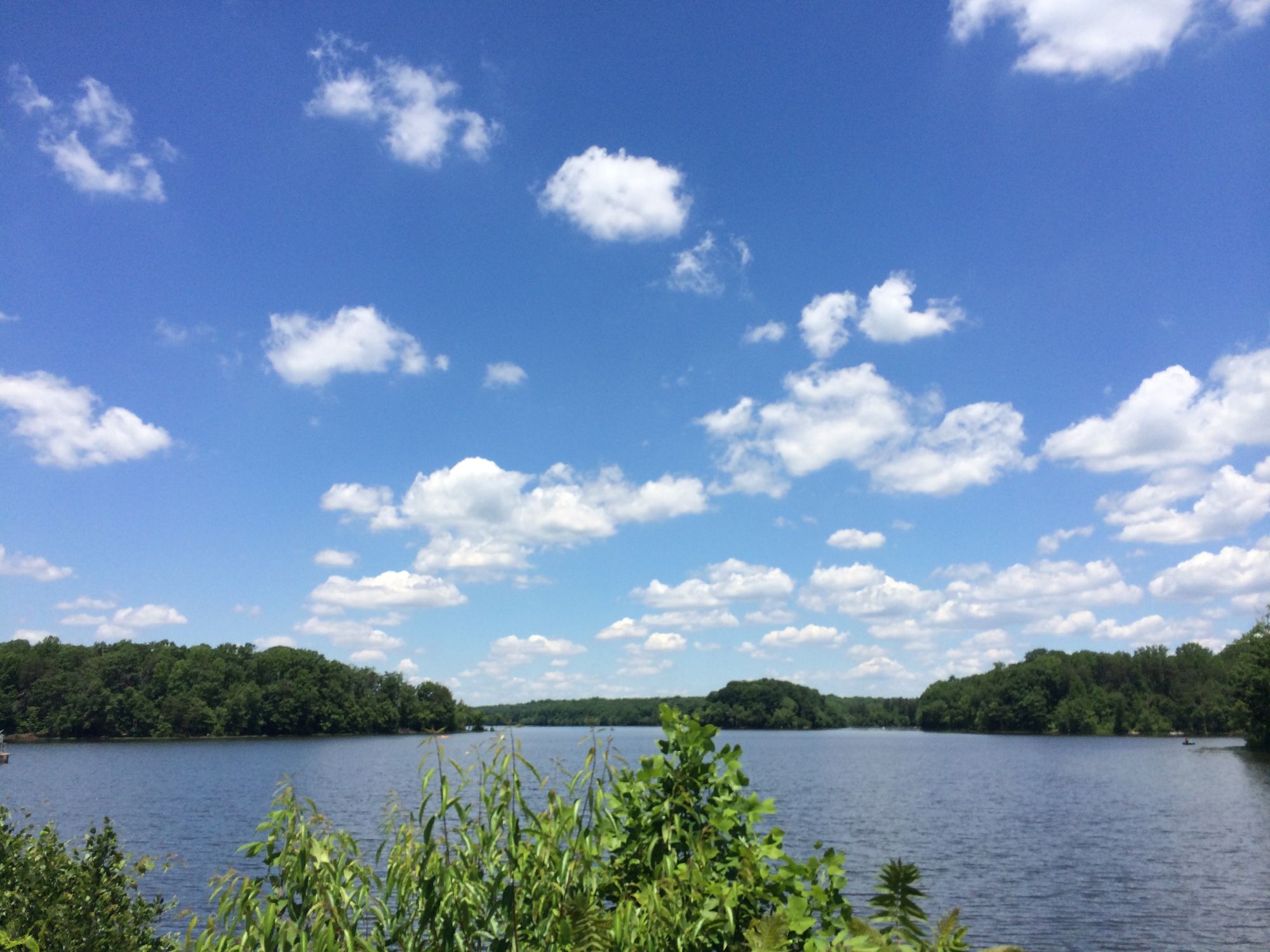
Burke Lake
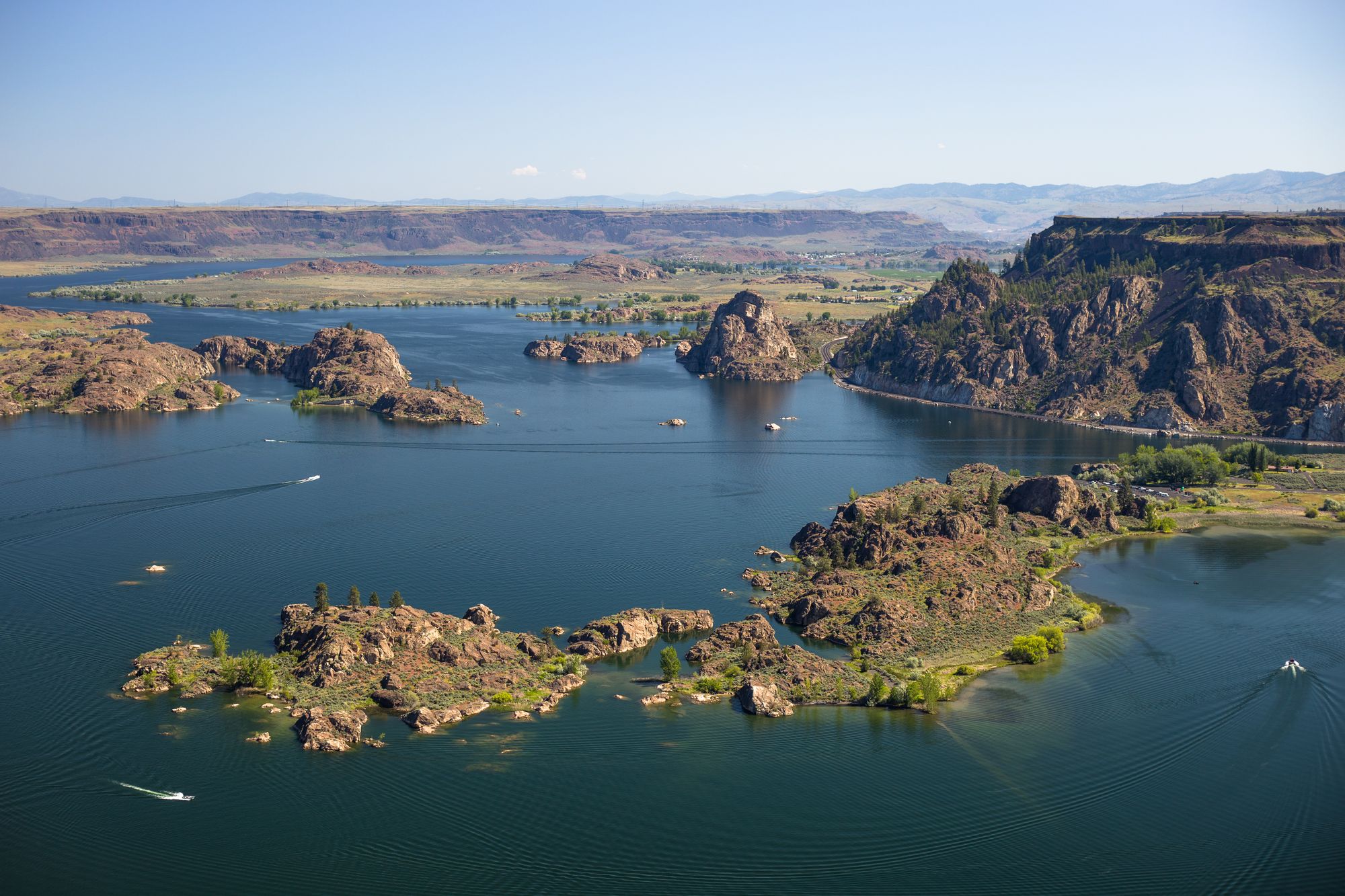
Banks Lake
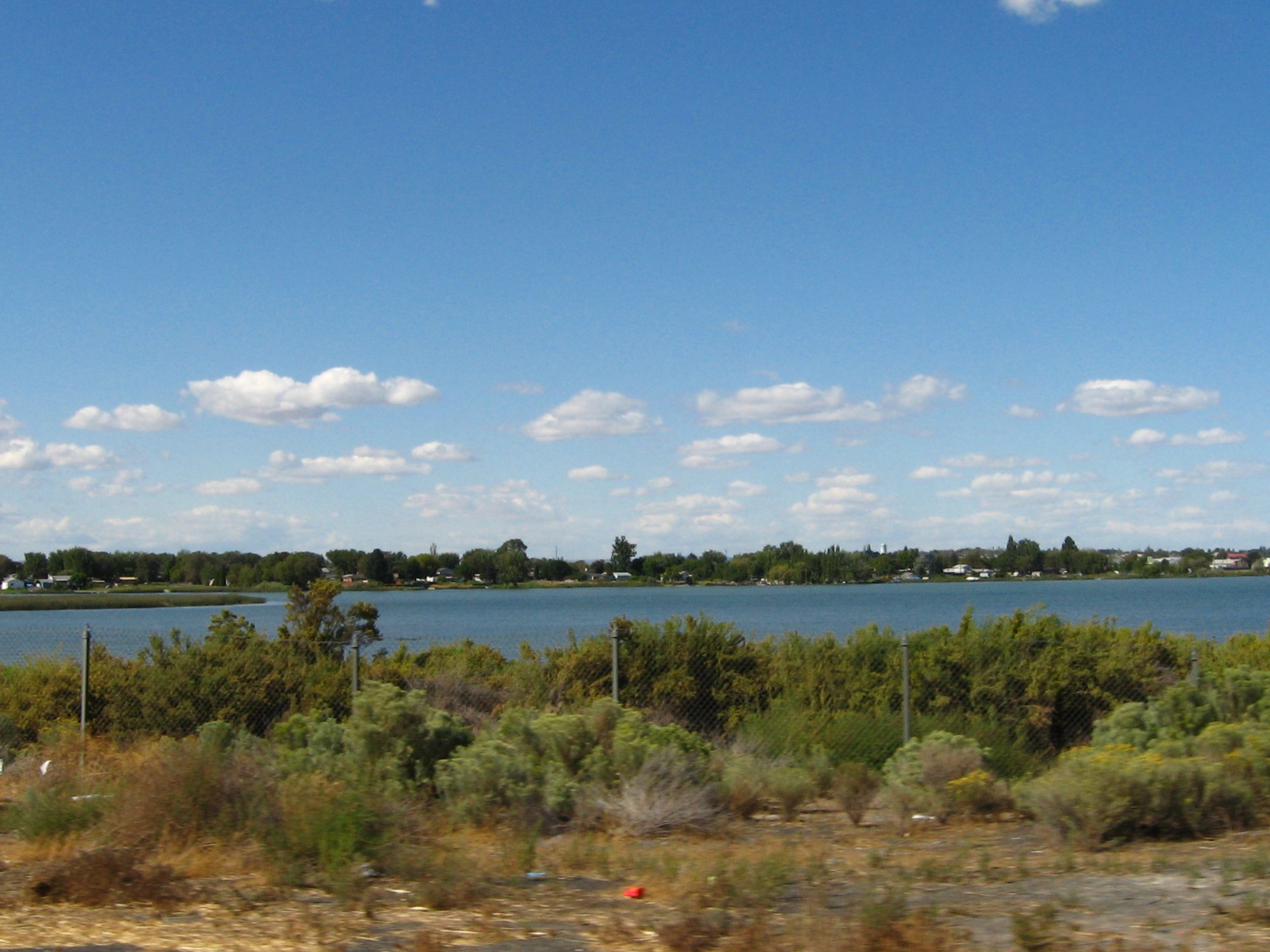
Moses Lake
Crab Creek
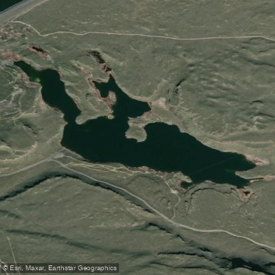
Corral Lake
Explore Washington waters
Top paddling waters
Popular Cities
Loading popular cities...
Explore near Winchester Wasteway
Access points
Nearby waters
More in Washington

Smarter Paddling Starts in the App.
Paddleways gives you everything you need to plan smarter, paddle better, and own every trip from first launch to takeout.