Bushmans
- Saltwater
- Estuary
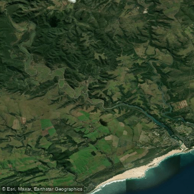
Bushmans
- Saltwater
- Estuary
- Sq. miles
- 3.4
- Boat Ramps
- 0
- Access Points
- 0
- Campsites
- 0
The Bushmans River, specifically its tidal estuary and mouth near the village of Bushmans River Mouth, is a coastal saltwater feature in the Eastern Cape. It is a tidal river, with its flow and water level governed by the ocean's tides, not freshwater releases. The estuary is situated directly opposite the town of Kenton-on-Sea, separated by the river channel, and the area is characterized by unspoiled white beaches and sandy coves. For paddlers, the primary access point is the public slipway located at 8 Cycad Street in Bushmans River Mouth, which provides direct boat trailer parking and easy entry to the water. The village itself is walkable and scenic, with many accommodations within walking distance of the riverbank, facilitating convenient launch and retrieval.
Paddling here occurs on a tidal estuary, so planning around the tide cycle is essential. The water body is used for various motorized activities like water skiing and boating, indicating the presence of boat traffic, particularly in the main channel near the mouth. Paddlers should be prepared to share the waterway and exercise caution when crossing navigable channels. The estuary opens to the Indian Ocean, so paddlers venturing near the mouth must be aware of potential surf conditions and strong currents associated with the tidal exchange. The area is known for abundant wildlife, including forest, coastal, and river birds, making it a destination for birders. The overall vibe is that of a relaxed, family-oriented coastal holiday village, with the river central to recreational activities. The presence of a formal estuary care forum suggests active environmental management.
Water access, boat ramps & amenities
Learn how to get on Bushmans. Uncover great paddling access points, boat ramps, and all the facilities you need for an unforgettable day on the water. Some locations shown may border or include private property. Always check property boundaries and applicable regulations before visiting. PaddleWays's Public & Private Land layer can help you plan your access with confidence.
Paddle smarter with real-time insights
Whether you're en route and conditions shift or you're looking for the best spot based on current flows, we enable you to make informed decisions on the fly.







Eastern Cape licenses and regulations

Find Places to Paddle

Over 400,000 Places to Paddle
Every user gets free access to launch points, boat ramps, and public property parcels.


Tides, wind & water conditions (10 day forecast)
On open water, wind and tide matter as much as the weather. See the best times to paddle Bushmans and check the marine forecast before you launch.
Loading tide predictions…
Paddling near Bushmans
Kowie
Kariega
Assegaai
Palmiet
Algoa Bay
Sondags
Wes-Kleinemonde
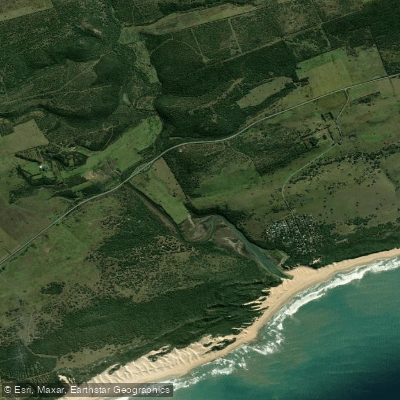
Kasouga
Mgwalana
Explore Eastern Cape waters
Top paddling waters
No waters available right now.
Popular Cities
Loading popular cities...
Explore near Bushmans
More in Eastern Cape

Smarter Paddling Starts in the App.
Paddleways gives you everything you need to plan smarter, paddle better, and own every trip from first launch to takeout.