Algoa Bay
- Saltwater
- Bay
Algoa Bay
- Saltwater
- Bay
- Sq. miles
- 572
- Boat Ramps
- 0
- Access Points
- 0
- Campsites
- 0
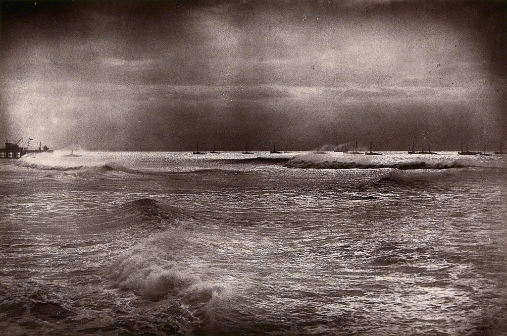
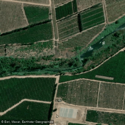
Algoa Bay is a large coastal bay on the Indian Ocean, stretching approximately 80 kilometers along the southeastern coast of South Africa within the Eastern Cape province. It is a significant marine feature, covering 251 square kilometers of the Nelson Mandela Bay metropolitan area, and is known as the water sports capital of South Africa. The bay's coastline includes the city of Port Elizabeth, which boasts 40 kilometers of coastline with golden sandy beaches and rocky shores. The bay's western portion is a noted area for paddling, and it is influenced by the convergence of the warm Agulhas and cool Benguela ocean currents, contributing to its rich biodiversity. The Sundays River empties into the eastern side of Algoa Bay after flowing through the village of Colchester. For paddlers, a primary access point is the Cannonville Slipway at the Sundays River Mouth in Colchester, which serves as a launch for canoeing and kayaking on the river as it enters the bay. The bay itself offers opportunities for sea kayaking, with the ocean marking the eastern border of Port Elizabeth. Major considerations include the area's exposure, as Port Elizabeth is nicknamed the "Windy City," which can create challenging conditions on the open water. The bay is home to significant wildlife, including the largest gannetry in the world on St. Croix Island, with 250,000 breeding pairs of Cape gannets. The island, located about 20 kilometers from the Port Elizabeth harbour, is a popular scuba diving site and part of a protected marine area. The adjacent Woody Cape Nature Reserve, stretching from the Sundays River mouth to the Bushmans River mouth, incorporates the largest coastal dune field in the southern hemisphere. The bay is recognized as a Mission Blue Hope Spot due to its important marine ecosystems.
Water access, boat ramps & amenities
Learn how to get on Algoa Bay. Uncover great paddling access points, boat ramps, and all the facilities you need for an unforgettable day on the water. Some locations shown may border or include private property. Always check property boundaries and applicable regulations before visiting. PaddleWays's Public & Private Land layer can help you plan your access with confidence.
Paddle smarter with real-time insights
Whether you're en route and conditions shift or you're looking for the best spot based on current flows, we enable you to make informed decisions on the fly.







Eastern Cape licenses and regulations

Find Places to Paddle

Over 400,000 Places to Paddle
Every user gets free access to launch points, boat ramps, and public property parcels.


Tides, wind & water conditions (10 day forecast)
On open water, wind and tide matter as much as the weather. See the best times to paddle Algoa Bay and check the marine forecast before you launch.
Loading tide predictions…
Paddling near Algoa Bay
Swartkops
Sondags
Gamtoos
Klein
King's Beach
Kariega
Krom
Papkuils
Kabeljous
Explore Eastern Cape waters
Top paddling waters
No waters available right now.
Popular Cities
Loading popular cities...
Explore near Algoa Bay
More in Eastern Cape

Smarter Paddling Starts in the App.
Paddleways gives you everything you need to plan smarter, paddle better, and own every trip from first launch to takeout.