Kouga
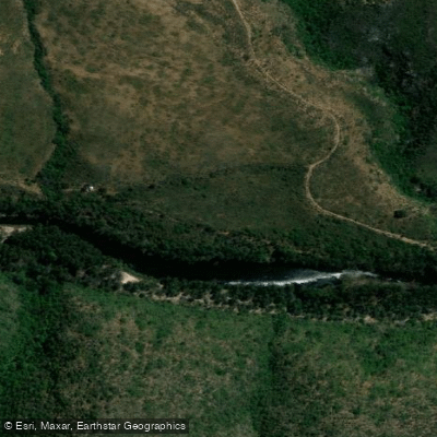
Kouga
- Boat Ramps
- 0
- Access Points
- 0
- Campsites
- 0
The Kouga River flows through the Eastern Cape Province of South Africa, passing through the Baviaanskloof Mega Reserve before eventually joining the Groot River to form the Gamtoos River. The river offers a range of paddling conditions across its length, with the upper sections providing moderate whitewater and the lower reaches becoming progressively more technical in places.
According to the Canoeing South Africa grading system, the section from Rooivlakte to Die Poort is rated Grade B, indicating steady flowing water with some technical spots that may require significant manoeuvring but seldom exceeding Class 3 rapids. The Die Poort to Dieprivier section is also Grade B, while Dieprivier to Rooiwal steps up to Grade B+. The section from Rooiwal to the Kouga Dam wall is rated Grade F, meaning it is unrunnable and would require a portage. Paddlers planning trips on the upper river must account for this impassable section near the dam.
The Kouga Dam itself, completed in 1967, is notable as the first double-arched dam engineered in South Africa and is situated near Patensie. The river corridor through the Baviaanskloof area passes through dramatic mountain terrain, and the region is associated with the broader Baviaanskloof World Heritage Site. Accommodation options exist along the river, including lodge facilities on the riverbanks within the Baviaanskloof Mega Reserve. Water temperatures can be cold, particularly in the upper reaches. Smallmouth bass are present in the river and attract fishing interest alongside paddling activity.
After the confluence with the Groot River, the combined Gamtoos River continues downstream with sections graded at Class C from the confluence to Weston, and from Weston to Boschoek, and again from Boschoek to the mouth, offering additional paddling options for those continuing downstream.
Water access, boat ramps & amenities
Learn how to get on Kouga. Uncover great paddling access points, boat ramps, and all the facilities you need for an unforgettable day on the water. Some locations shown may border or include private property. Always check property boundaries and applicable regulations before visiting. PaddleWays's Public & Private Land layer can help you plan your access with confidence.
Paddle smarter with real-time insights
Whether you're en route and conditions shift or you're looking for the best spot based on current flows, we enable you to make informed decisions on the fly.







Eastern Cape licenses and regulations

Find Places to Paddle

Over 400,000 Places to Paddle
Every user gets free access to launch points, boat ramps, and public property parcels.


Water and weather conditions (10 day forecast)
See the best times to paddle Kouga and check the forecast before you go.
No forecast data available.
Paddling near Kouga
Knysna Lagoon
Knysna
Goukamma
Bietou
Keurbooms
Knysna Beach
Karatara
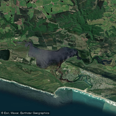
Swartvlei
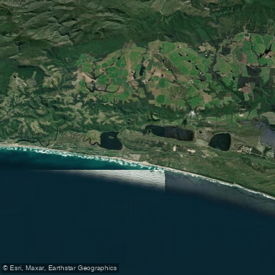
Touw/Wilderness
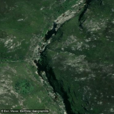
Touws
Explore Eastern Cape waters
Top paddling waters
No waters available right now.
Popular Cities
Loading popular cities...
Explore near Kouga
Nearby waters
More in Eastern Cape

Smarter Paddling Starts in the App.
Paddleways gives you everything you need to plan smarter, paddle better, and own every trip from first launch to takeout.