Swartvlei
Swartvlei
- Boat Ramps
- 0
- Access Points
- 2
- Campsites
- 0
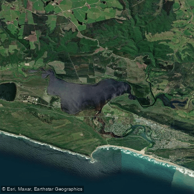
Swartvlei is the largest and deepest lake in the Garden Route National Park, situated near Sedgefield in the Western Cape. The lake covers approximately 9 square kilometres and reaches depths of up to 16 metres. It forms part of a complex estuarine system connected to the Indian Ocean, with the mouth open to the sea for roughly six months of the year. When the mouth is open, tidal influence on the main lake body is limited by a bottleneck at the railway bridge.
Canoes, kayaks, and other watercraft are permitted on Swartvlei, but all require permits, which are available from the SANParks office at Ebb and Flow. Paddlers must also adhere to no-wake zones. SANParks has placed cardinal markers on the vlei to indicate the main sandbanks; some peripheral sandbanks become very shallow when the river mouth is open, though they are generally visible.
There are two main access points. Pine Lake Marina (PLM) on the northwest side of the lake offers paid access at R90 per day or R600 per year, with ablution facilities including toilets and showers available between 08h00 and 17h00, a restaurant and convenience shop approximately 300 metres from the boathouse, and a rescue boat and team on the water between 08h00 and 17h00. A second launch point is located at the bottom of Kingfisher Drive, where parking and ablution blocks are available, though parking can be tight during high season. A third access point at Bleshoender off the N2 is technically free but described as very difficult, requiring a 4x4 vehicle; the area is heavily overgrown and waterlogged, with reeds that may damage equipment.
The estuary section between the river mouth, around the island, and up to the N2 road bridge is specifically noted as a worthwhile paddle. Guided kayak tours of the Swartvlei wetland area are also available through local operators.
Birdwatching is a notable feature of paddling here, with waterfowl, kingfishers, and fish eagles regularly sighted. The lake is managed by SANParks as part of the Garden Route National Park, and conservation regulations apply throughout.
Water access, boat ramps & amenities
Learn how to get on Swartvlei. Uncover great paddling access points, boat ramps, and all the facilities you need for an unforgettable day on the water. Some locations shown may border or include private property. Always check property boundaries and applicable regulations before visiting. PaddleWays's Public & Private Land layer can help you plan your access with confidence.
Paddle smarter with real-time insights
Whether you're en route and conditions shift or you're looking for the best spot based on current flows, we enable you to make informed decisions on the fly.







Western Cape licenses and regulations

Find Places to Paddle

Over 400,000 Places to Paddle
Every user gets free access to launch points, boat ramps, and public property parcels.


Water and weather conditions (10 day forecast)
See the best times to paddle Swartvlei and check the forecast before you go.
Swartvlei @ Ronde Valley Hoogekraal
Paddling near Swartvlei
Knysna Lagoon
Knysna
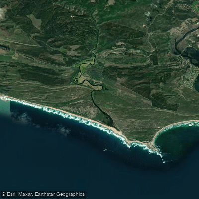
Goukamma
Bietou
Keurbooms
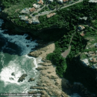
Knysna Beach
Karatara
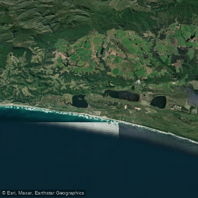
Touw/Wilderness
Touws
Explore Western Cape waters
Top paddling waters
No waters available right now.
Popular Cities
Loading popular cities...
Explore near Swartvlei
More in Western Cape

Smarter Paddling Starts in the App.
Paddleways gives you everything you need to plan smarter, paddle better, and own every trip from first launch to takeout.