Storms
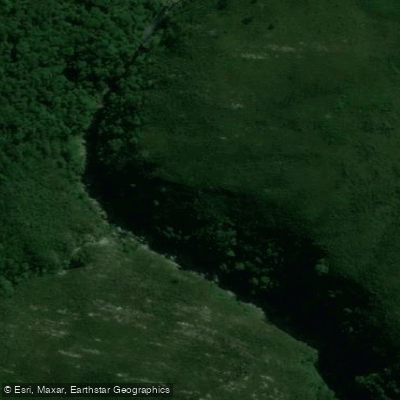
Storms
- Boat Ramps
- 0
- Access Points
- 0
- Campsites
- 0
The Storms River flows through Tsitsikamma National Park on South Africa's Garden Route, cutting through a dramatic gorge before meeting the Indian Ocean at the river mouth. The river is characterized by long, deep, quiet pools flanked by sky-scraping cliffs, with sections of ancient indigenous Tsitsikamma Forest lining the banks. The gorge narrows progressively as you travel upstream, eventually becoming accessible only by lilo (small inflatable craft) rather than kayak.
The primary paddling experience on the Storms River is organized through Untouched Adventures, which operates guided kayak and lilo tours lasting approximately two to three hours. The standard route begins at the rest camp, where paddlers cross the bay by kayak, pass under the famous Storms River Suspension Bridge, and paddle upstream into the gorge. At a low-water point deeper in the gorge, kayaks are exchanged for lilos to access the narrower upper sections. The tour includes a bat cave that paddlers can enter by kayak.
The put-in point can vary depending on ocean conditions. When sea conditions are favorable, the tour begins in the ocean, paddling through the river mouth and under the suspension bridge. When conditions are rough — which can include significant wave height and strong winds — guides lead participants on a 20-minute hike through the forest and over the suspension bridge to begin paddling from a calmer point higher up the river. The river mouth area is notable for the mixing of ocean and freshwater, which causes water levels to fluctuate and adds to the dynamic nature of the experience at that section.
Because the Storms River lies within Tsitsikamma National Park, paddlers must either present a WILD card or pay the national park conservation fee at the entrance gate. During peak season, entry processing can be slow, and allowing at least one hour's wait at the gate is advisable. Equipment including wetsuits, booties, helmets, life vests, and dry bags is available through the tour operator. Wildlife potentially visible during the tour includes otters, stingrays, and juvenile ragged-tooth sharks, though sightings are not guaranteed. The tour operates year-round and is considered suitable for a wide range of ages and experience levels.
Water access, boat ramps & amenities
Learn how to get on Storms. Uncover great paddling access points, boat ramps, and all the facilities you need for an unforgettable day on the water. Some locations shown may border or include private property. Always check property boundaries and applicable regulations before visiting. PaddleWays's Public & Private Land layer can help you plan your access with confidence.
Paddle smarter with real-time insights
Whether you're en route and conditions shift or you're looking for the best spot based on current flows, we enable you to make informed decisions on the fly.







Eastern Cape licenses and regulations

Find Places to Paddle

Over 400,000 Places to Paddle
Every user gets free access to launch points, boat ramps, and public property parcels.


Water and weather conditions (10 day forecast)
See the best times to paddle Storms and check the forecast before you go.
No forecast data available.
Paddling near Storms
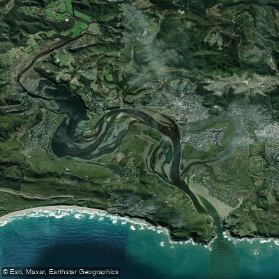
Knysna Lagoon
Knysna
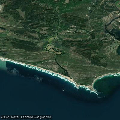
Goukamma
Bietou
Keurbooms
Knysna Beach
Karatara
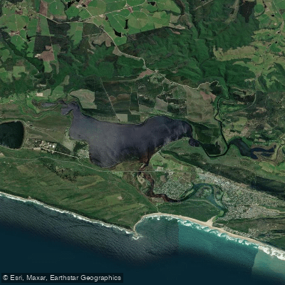
Swartvlei
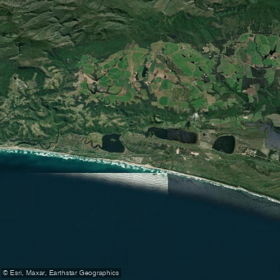
Touw/Wilderness
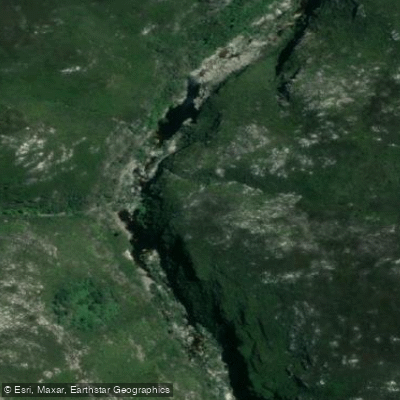
Touws
Explore Eastern Cape waters
Top paddling waters
No waters available right now.
Popular Cities
Loading popular cities...
Explore near Storms
Nearby waters
More in Eastern Cape

Smarter Paddling Starts in the App.
Paddleways gives you everything you need to plan smarter, paddle better, and own every trip from first launch to takeout.