Thrift Dam
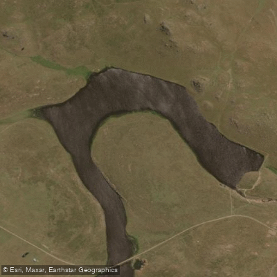
Thrift Dam
- Boat Ramps
- 0
- Access Points
- 0
- Campsites
- 0
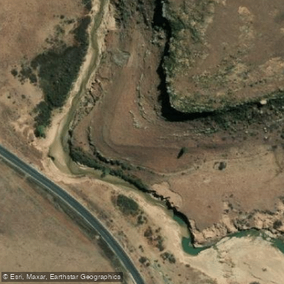
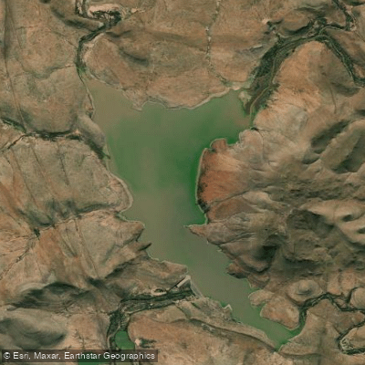
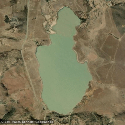
Thrift Dam, also known as Loch Thrift, sits in the Winterberg Mountains of the Eastern Cape at approximately 32.30°S, 26.54°E. The dam is horseshoe-shaped and positioned at considerable elevation, with the surrounding landscape described as dramatically remote — steep terrain, open mountain scenery, and a sense of genuine isolation. Nearby reference points include Katberg approximately 25 km away and Queenstown roughly 51 km distant.
Access to the dam is demanding. The approach involves a mountain pass known as NO THRO ROAD Pass, and the road conditions are such that a 4x4 vehicle is strongly advisable. Visitors have reported encountering free-roaming horses and other obstacles along the route, and the terrain is steep in places. Anyone planning a trip should factor in the possibility of vehicle difficulties on the approach road.
The dam is primarily known as a fly fishing destination, particularly for large rainbow trout, and attracts anglers from across South Africa including organized club trips from Rhodes University. Wind conditions at the site can include significant gusts, and the area receives rainfall, particularly during certain periods — factors worth considering for any water-based activity. The surrounding banks are described as steep in sections, with trees limiting access to the water's edge in some areas.
Given the limited paddling-specific detail documented for this location, anyone planning a paddling trip should make direct contact with local landowners or managing authorities well in advance to confirm access arrangements, any applicable regulations, and current conditions on the access road.
Water access, boat ramps & amenities
Learn how to get on Thrift Dam. Uncover great paddling access points, boat ramps, and all the facilities you need for an unforgettable day on the water. Some locations shown may border or include private property. Always check property boundaries and applicable regulations before visiting. PaddleWays's Public & Private Land layer can help you plan your access with confidence.
Paddle smarter with real-time insights
Whether you're en route and conditions shift or you're looking for the best spot based on current flows, we enable you to make informed decisions on the fly.







Eastern Cape licenses and regulations

Find Places to Paddle

Over 400,000 Places to Paddle
Every user gets free access to launch points, boat ramps, and public property parcels.


Water and weather conditions (10 day forecast)
See the best times to paddle Thrift Dam and check the forecast before you go.
No forecast data available.
Explore Eastern Cape waters
Top paddling waters
No waters available right now.
Popular Cities
Loading popular cities...
Explore near Thrift Dam
More in Eastern Cape

Smarter Paddling Starts in the App.
Paddleways gives you everything you need to plan smarter, paddle better, and own every trip from first launch to takeout.