Groot-Kei
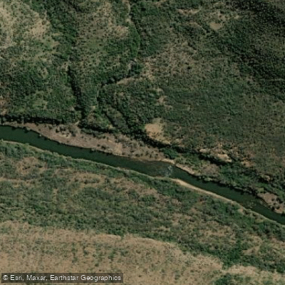
Groot-Kei
- Boat Ramps
- 0
- Access Points
- 0
- Campsites
- 1
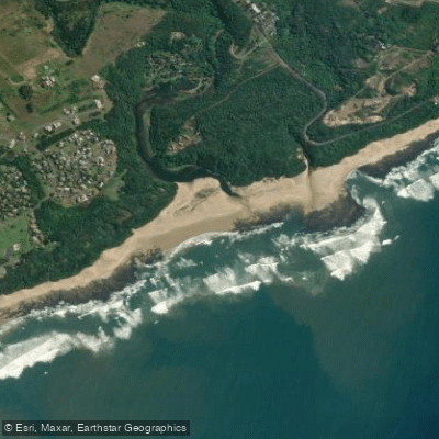
The Great Kei River (Groot-Kei) is a 320 km river in the Eastern Cape province of South Africa, formed by the confluence of the Black Kei (Swart-Kei) and White Kei (Wit-Kei) rivers northeast of Cathcart. It originates in the Stormberg Mountains at an elevation of approximately 1,500 m and flows southeast before emptying into the Indian Ocean at the Great Kei Estuary, with the small town of Kei Mouth situated on the west bank. Historically, the river marked the southwestern boundary of the Transkei region.
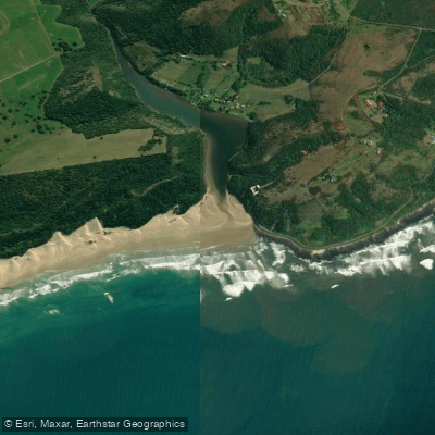
The lower river and estuary area is the primary focus for paddling activity. The operator Great Kei Adventures offers guided kayak tours, kayak rentals on the Kei River, and kayak fishing options in the area. One notable paddling destination is Double Mouth Nature Reserve, where two estuaries converge and exit through a single river mouth. This area is described as undeveloped and pristine, supporting indigenous fauna and flora, and guided kayak tours there typically run two to three hours, with departure times dependent on tidal conditions. A short coastal walk is often incorporated into the outing. Fitness level required is described as moderate, and participants may get slightly wet.
A public Kei River Pont site (approximately 32°40'27" S, 28°22'35" E), managed by the Kei Mouth Ski Boat Club. The river mouth and estuary are also noted as a popular fishing location, particularly for kob (kabeljou).
Tidal and weather conditions can limit paddling activity, particularly during certain months. May is noted for generally favorable weather in the area. The estuary and Double Mouth zone offer opportunities to observe rare and elusive plant species and wildlife from the water. The Morgan Bay lagoon is another nearby paddling option in the same general area.
The river's name derives from the Khoekhoe word for "water." The region falls within the broader Wild Coast area of the Eastern Cape, a stretch of coastline known for its relatively undeveloped character.
Water access, boat ramps & amenities
Learn how to get on Groot-Kei. Uncover great paddling access points, boat ramps, and all the facilities you need for an unforgettable day on the water. Some locations shown may border or include private property. Always check property boundaries and applicable regulations before visiting. PaddleWays's Public & Private Land layer can help you plan your access with confidence.
Paddle smarter with real-time insights
Whether you're en route and conditions shift or you're looking for the best spot based on current flows, we enable you to make informed decisions on the fly.







Eastern Cape licenses and regulations

Find Places to Paddle

Over 400,000 Places to Paddle
Every user gets free access to launch points, boat ramps, and public property parcels.


Water and weather conditions (10 day forecast)
See the best times to paddle Groot-Kei and check the forecast before you go.
Great-Kei River @ Area 8 Springs B
Paddling near Groot-Kei
Explore Eastern Cape waters
Top paddling waters
No waters available right now.
Popular Cities
Loading popular cities...
Explore near Groot-Kei
Access points
More in Eastern Cape

Smarter Paddling Starts in the App.
Paddleways gives you everything you need to plan smarter, paddle better, and own every trip from first launch to takeout.