Bloemhof
Bloemhof
- Boat Ramps
- 0
- Access Points
- 0
- Campsites
- 2
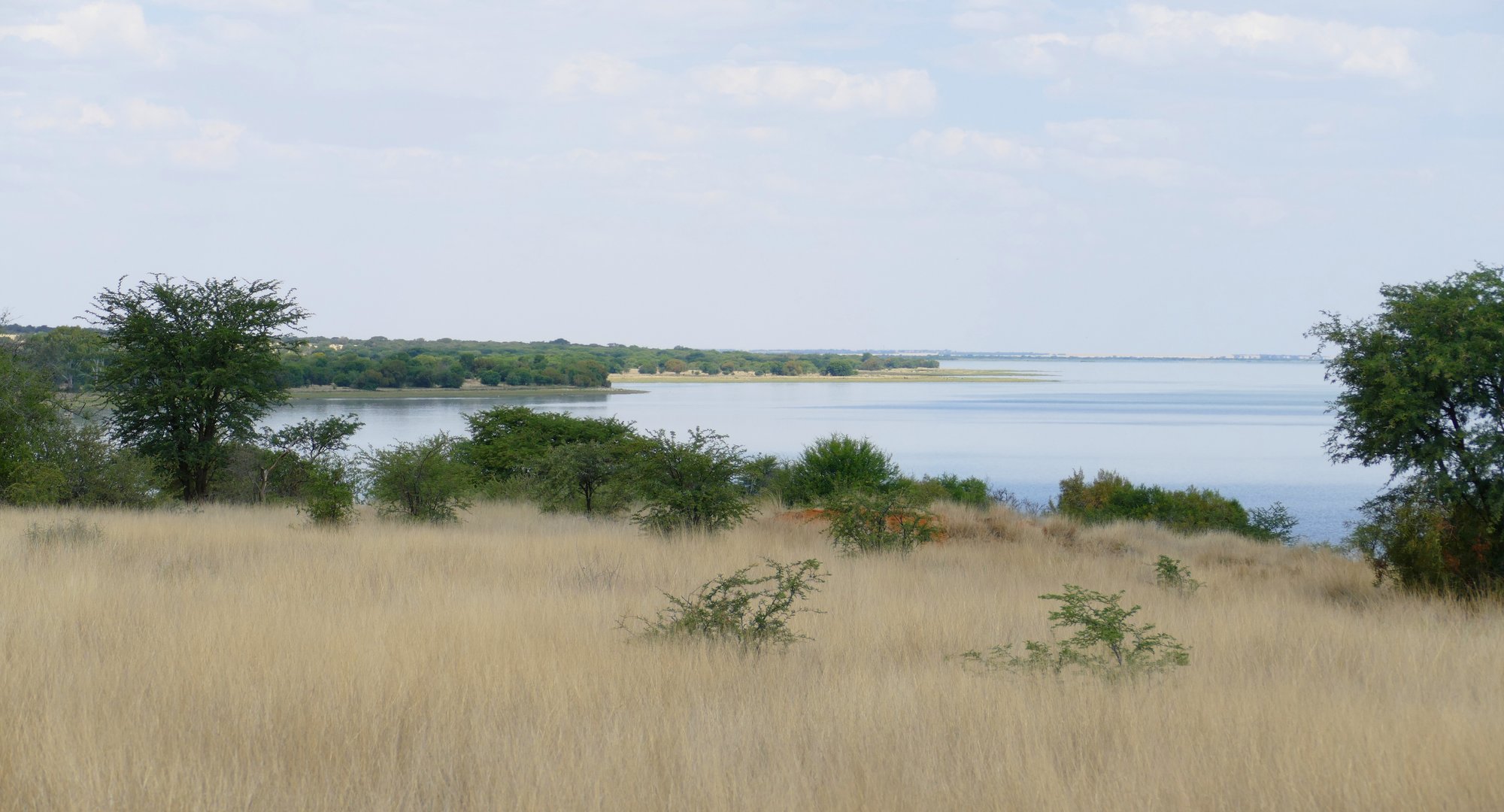
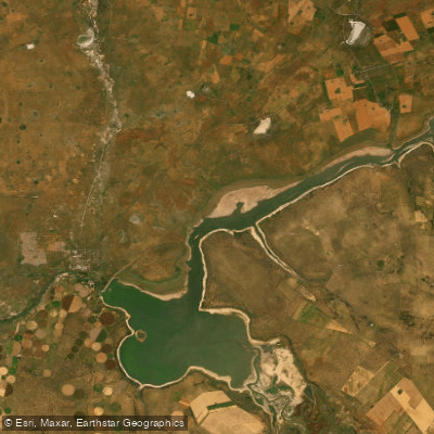
Bloemhof Dam is one of the largest dams in South Africa, covering approximately 25,000 hectares and fed by the Vaal River. It sits on the border of the North West Province and the Free State, located on the N12 Treasure Route roughly 300 km southwest of Johannesburg and 150 km northeast of Kimberley. The dam wall is accessible from Bloemhof village, which also provides views over the water.
The dam is open for a range of water sports, and canoeing is among the activities explicitly permitted. Launching facilities for powerboats are available at the reserve, and paddlers should be aware that the dam is also heavily used by powerboats, jet skis, and yachts, particularly during summer when the site is at its most popular. The dam is described as shallow relative to other large South African dams, which is a relevant consideration for paddlers. The vast expanse of open water means wind exposure can be a factor across such a large surface area.
The surrounding landscape consists of open grasslands, scattered acacia woodlands, and wetland areas. The North West Province side of the dam falls within the Bloemhof Dam Nature Reserve, while the Free State shoreline is bordered by the 37,000-hectare Sandveld Nature Reserve. Wildlife in the broader area includes rhino, giraffe, springbok, black wildebeest, eland, gemsbok, and a variety of waterfowl. The dam is noted as a significant birdwatching location, with rare waterfowl species recorded.
The climate is generally mild to hot, with cold nights during winter. Summer is the peak season for water-based activities. The dam hosts major national and international angling competitions, including the Tri-Nations and the Bloemhof Bonanza, which can result in significant boat traffic and crowding on the water during event periods. Fish species present include carp, grass carp, barbel, and indigenous yellowfish.
Paddlers using kayaks have been noted using them for fishing access on the dam, indicating the water is navigable by small craft. The Sandveld Nature Reserve gate on the Free State side provides camping access, making multi-day visits feasible for those wishing to paddle across multiple days.
Water access, boat ramps & amenities
Learn how to get on Bloemhof. Uncover great paddling access points, boat ramps, and all the facilities you need for an unforgettable day on the water. Some locations shown may border or include private property. Always check property boundaries and applicable regulations before visiting. PaddleWays's Public & Private Land layer can help you plan your access with confidence.
Paddle smarter with real-time insights
Whether you're en route and conditions shift or you're looking for the best spot based on current flows, we enable you to make informed decisions on the fly.








Find Places to Paddle

Over 400,000 Places to Paddle
Every user gets free access to launch points, boat ramps, and public property parcels.


Water and weather conditions (10 day forecast)
See the best times to paddle Bloemhof and check the forecast before you go.
C9R002
All Flow Stations
Paddling near Bloemhof
Vaal
Bloemhof Dam
Rietspruit
Brakspruit
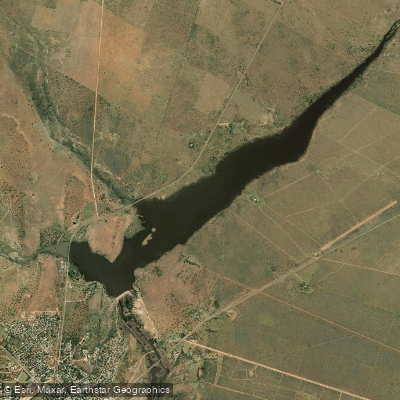
Wenzel Dam
Barberspan
Wolwespruit
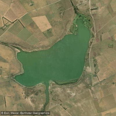
Barberspan
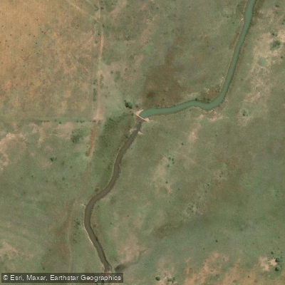
Klein-Harts
Explore Free State waters
Top paddling waters
No waters available right now.
Popular Cities
Loading popular cities...
Explore near Bloemhof
Nearby waters
More in Free State

Smarter Paddling Starts in the App.
Paddleways gives you everything you need to plan smarter, paddle better, and own every trip from first launch to takeout.