Bloemhof Dam
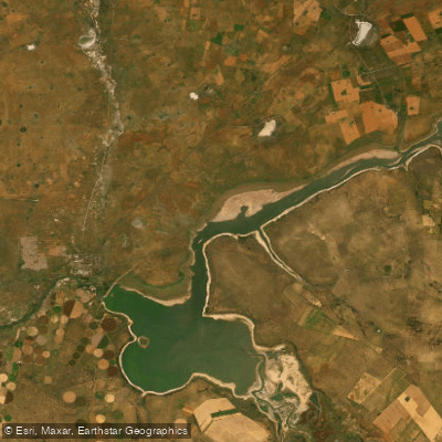
Bloemhof Dam
- Boat Ramps
- 0
- Access Points
- 0
- Campsites
- 0
Bloemhof Dam sits on the Vaal River at the confluence with the Vet River, straddling the border between North West and Free State provinces, approximately 300 km southwest of Johannesburg and 150 km northeast of Kimberley. Completed in 1970, the dam wall stretches 4,270 metres and impounds over 1.2 billion cubic metres of water across a surface area of roughly 2,226 hectares, though the broader reservoir area extends to up to 25,000 hectares. A defining characteristic of the reservoir is its notably shallow depth relative to its large surface area, which shapes the paddling experience considerably.
The dam is open to all water sports, and powerboat launching facilities are available at both the Bloemhof Dam Nature Reserve on the North West side and the Sandveld Nature Reserve on the Free State side. Paddlers using canoes and kayaks share the water with powerboats, jet skis, and sailing craft, so awareness of motorised traffic is an important safety consideration, particularly during summer when the dam is at its most popular. The shallow nature of the reservoir also warrants attention in terms of navigation, especially in less-travelled upper reaches.
The dam is most heavily used during summer, which is the peak season for water sports in the region. The upper reaches toward the Vaal River inflow and the Vet River arm are accessible by water, though these areas involve long runs — the Sandveld launch point is over 40 km from the upper Vaal River section. These upper reaches are more secluded, with limited or no accommodation nearby, and much of the surrounding land is privately owned.
The surrounding reserves support over 250 bird species, including rare waterfowl, making birdwatching a natural complement to time on the water. Wildlife including Black Wildebeest, Springbok, Eland, Gemsbok, Giraffe, and Rhino inhabit the adjacent conservancies. The dam is also a well-established angling destination, with carp, catfish (barbel), grass carp, and indigenous yellowfish present in the water. The closest town is Bloemhof, approximately 10 km from the dam, and the Bloemhof Dam Nature Reserve is situated about 4 km from town in the direction of Hoopstad.
Water access, boat ramps & amenities
Learn how to get on Bloemhof Dam. Uncover great paddling access points, boat ramps, and all the facilities you need for an unforgettable day on the water. Some locations shown may border or include private property. Always check property boundaries and applicable regulations before visiting. PaddleWays's Public & Private Land layer can help you plan your access with confidence.
Paddle smarter with real-time insights
Whether you're en route and conditions shift or you're looking for the best spot based on current flows, we enable you to make informed decisions on the fly.








Find Places to Paddle

Over 400,000 Places to Paddle
Every user gets free access to launch points, boat ramps, and public property parcels.


Water and weather conditions (10 day forecast)
See the best times to paddle Bloemhof Dam and check the forecast before you go.
No forecast data available.
Paddling near Bloemhof Dam
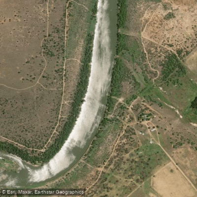
Vaal
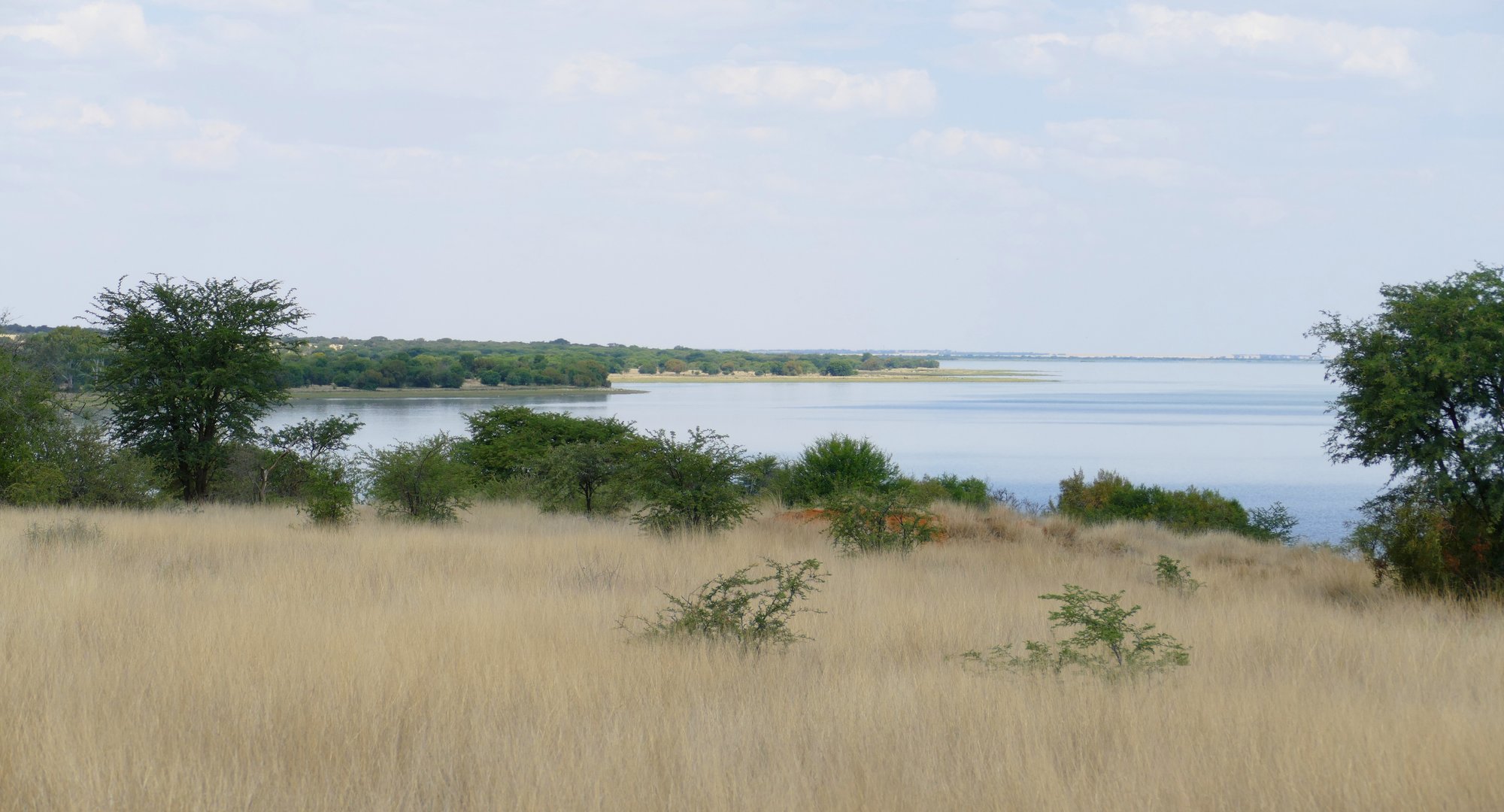
Bloemhof
Rietspruit
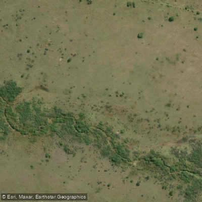
Brakspruit
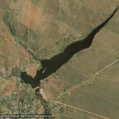
Wenzel Dam
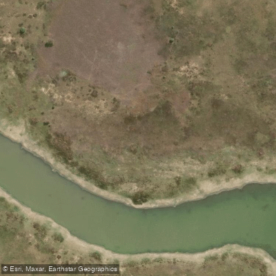
Barberspan
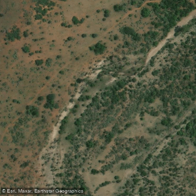
Wolwespruit
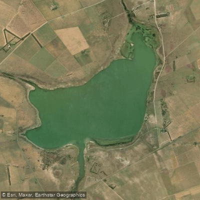
Barberspan
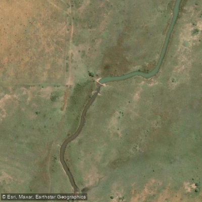
Klein-Harts
Explore North West waters
Top paddling waters
No waters available right now.
Popular Cities
Loading popular cities...
Explore near Bloemhof Dam
More in North West

Smarter Paddling Starts in the App.
Paddleways gives you everything you need to plan smarter, paddle better, and own every trip from first launch to takeout.