Kosi
Kosi
- Boat Ramps
- 0
- Access Points
- 0
- Campsites
- 0
Kosi Bay is a system of four interconnected lakes, estuaries, and channels located at the far northern tip of iSimangaliso Wetland Park in KwaZulu-Natal, South Africa, bordering Mozambique. The system forms part of the Ponta do Ouro–Kosi Bay Transfrontier Conservation Area and sits within a UNESCO World Heritage Site. The waterways are characterized by crystal-clear water, extensive mangrove forests featuring five mangrove species, raffia palm-lined channels, and shallow estuaries rich in aquatic life including tropical fish, rays, and corals.
Paddling regulations at Kosi Bay are strict and must be understood before planning a trip. Private canoes and kayaks are not permitted on the Kosi Lakes due to the presence of hippos and crocodiles. Only registered tour operators holding concessions from Ezemvelo KZN Wildlife are authorized to conduct kayak and canoe trips on the lakes and estuary. Motorized boats require a valid skipper's licence, buoyancy certificate, and SAMSA registration; engines smaller than 15hp are not permitted on the lake system. Boat registration costs R90–R100 per year, with a launching fee of R25 and storage at R25 per day. Night fishing permits require prior arrangement with the Ezemvelo Kosi Bay Camp Office.
Guided kayak tours are available through several operators and typically depart from the wooden bridge parking area near Kosi Bay Mouth. A standard guided trip runs approximately two hours and covers the estuary, traditional Thonga fish traps, mangrove channels, and portions of Lake Kahlu. Longer six-hour tours are also offered that include snorkeling and cultural components. The Kukalwe River, which flows through the estuary system, is noted for fish and birdlife. The channels connecting the lakes are lined with large overhanging trees and massive raphia palms, and notable bird species including Palm-Nut Vulture, Pel's Fishing Owl, and African Finfoot have been recorded along these routes. Samango monkeys are also present in the surrounding forest.
The Mthando Channel, which links the third lake (Nhlange) and the second lake (Mpungwini), is a critical feature of the system; speeding in this channel is a serious offence and passage should take at least 20 minutes, keeping to the right-hand side at all times. No vessels of any kind may be launched on Lake Sibaya, which is adjacent to the Kosi system.
Water access, boat ramps & amenities
Learn how to get on Kosi. Uncover great paddling access points, boat ramps, and all the facilities you need for an unforgettable day on the water. Some locations shown may border or include private property. Always check property boundaries and applicable regulations before visiting. PaddleWays's Public & Private Land layer can help you plan your access with confidence.
Paddle smarter with real-time insights
Whether you're en route and conditions shift or you're looking for the best spot based on current flows, we enable you to make informed decisions on the fly.







Kwazulu Natal licenses and regulations
No licenses or regulations available for Kwazulu Natal.
Find Places to Paddle

Over 400,000 Places to Paddle
Every user gets free access to launch points, boat ramps, and public property parcels.


Water and weather conditions (10 day forecast)
See the best times to paddle Kosi and check the forecast before you go.
No forecast data available.
Paddling near Kosi
Assegaai
Boesmanspruit
Mhkondvo
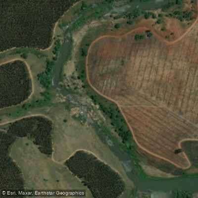
Bivane
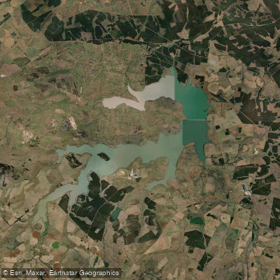
Heyshope
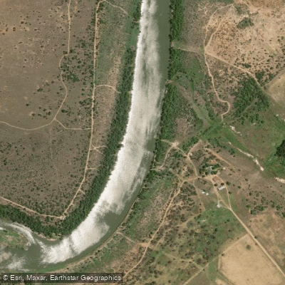
Vaal
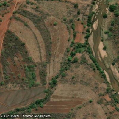
Mkhondvo
Ngwempisana
Morgenstond
Jericho
Explore Kwazulu Natal waters
Top paddling waters
No waters available right now.
Popular Cities
Loading popular cities...
Explore near Kosi
More in Kwazulu Natal

Smarter Paddling Starts in the App.
Paddleways gives you everything you need to plan smarter, paddle better, and own every trip from first launch to takeout.