Mac-Mac
Mac-Mac
- Boat Ramps
- 0
- Access Points
- 0
- Campsites
- 0
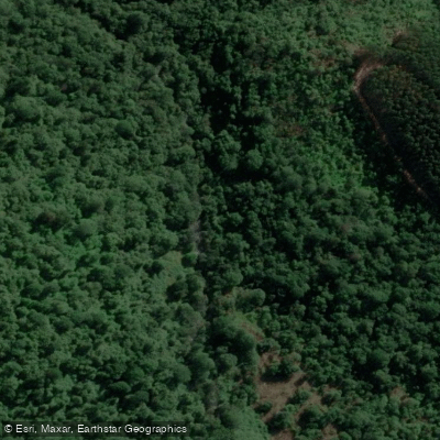
The Lower Mac-Mac is a 17km whitewater run in Mpumalanga, South Africa, graded III to IV with a Class V section. The gradient averages 15m/km, producing a technically engaging paddle that takes between 3.5 and 5 hours to complete. The put-in is located at approximately 25°0'11.40"S, 30°55'25.26"E, and the take-out at 25°1'49.30"S, 31°1'33.10"E.
Water levels are the primary planning consideration. The Mac-Mac's catchment does not hold water as well as the adjacent Sabie catchment, making it difficult to catch at runnable levels. A practical visual gauge is the confluence of the Sabie and Mac-Mac rivers: if the water runs brown and the Sabie is up, the Mac-Mac is likely in condition. Alternatively, the DWA hydrology gauge at Mac-Mac @ Geelhoutboom should read 5 cubic metres per second or above.
The most significant hazard on the run is Venus Falls, located 2.5km from the put-in and marked by a low-level bridge. Paddlers should watch for a steep increase in gradient and a horizon line, and eddy out on the right to inspect. The falls are currently considered a mandatory portage, with the recommended portage line on the right following the road down to a picnic site. Beyond Venus Falls, there may be one or two additional portages depending on water levels. Low-level bridges and strainers from fallen trees are noted hazards throughout the run.
The river banks are largely flanked by indigenous forest, with pine plantations on the valley sides above. The rapids are generally boat-scoutable, with longer pools between sets, making the run somewhat more forgiving in character than the nearby Sabie Upper Section 2. All major obstacles are marked by bridges, which serves as a useful navigation aid. The Sunlight stream joins the Mac-Mac near the put-in, adding some volume to the flow. Overall, the run is rated 3 out of 5 for fun factor, described as a worthwhile outing when water levels cooperate.
Water access, boat ramps & amenities
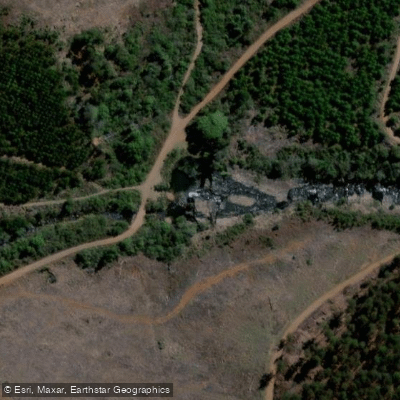
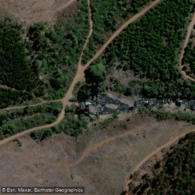
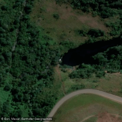
Learn how to get on Mac-Mac. Uncover great paddling access points, boat ramps, and all the facilities you need for an unforgettable day on the water. Some locations shown may border or include private property. Always check property boundaries and applicable regulations before visiting. PaddleWays's Public & Private Land layer can help you plan your access with confidence.
Paddle smarter with real-time insights
Whether you're en route and conditions shift or you're looking for the best spot based on current flows, we enable you to make informed decisions on the fly.








Find Places to Paddle

Over 400,000 Places to Paddle
Every user gets free access to launch points, boat ramps, and public property parcels.


Water and weather conditions (10 day forecast)
See the best times to paddle Mac-Mac and check the forecast before you go.
No forecast data available.
Paddling near Mac-Mac
Explore Mpumalanga waters
Top paddling waters
No waters available right now.
Popular Cities
Loading popular cities...
Explore near Mac-Mac
More in Mpumalanga

Smarter Paddling Starts in the App.
Paddleways gives you everything you need to plan smarter, paddle better, and own every trip from first launch to takeout.