Banco Miguel
- Saltwater
- Reef
Banco Miguel
- Saltwater
- Reef
- Sq. miles
- 0.6
- Boat Ramps
- 0
- Access Points
- 0
- Campsites
- 0
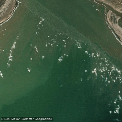
Banco Miguel is a coastal shoal located at the mouth of the Rio Negro estuary in Buenos Aires, Argentina. It forms part of an ebb delta composed of well-sorted fine sand, alongside another shoal named Banco La Hoya. The estuary experiences a mesotidal regime, indicating a moderate tidal range. The asymmetry of the delta is influenced by a northward longshore drift, which is a critical factor for paddlers to consider as it will affect currents and water movement along the shoals. The coast in this region alternates between beach and dune-fringed low coasts and cliffs. For paddlers, potential launch sites could be found along the adjacent beaches. The primary character of paddling here is coastal and estuarine, with exposure to open bay conditions, tidal currents, and likely significant wind fetch across the shallow delta. The extensive sandy shoals are exposed at low tide, which is a major navigational hazard; paddlers must plan their trips carefully around the tide cycle to avoid being stranded on vast tidal flats or having to portage over long distances. Paddling against an ebbing tide in the estuary channels could involve strong currents. The area is part of a dynamic sedimentary environment, with the visual aesthetic dominated by sandy shoals, low-lying coasts, and the broad estuary.
Water access, boat ramps & amenities
Learn how to get on Banco Miguel. Uncover great paddling access points, boat ramps, and all the facilities you need for an unforgettable day on the water. Some locations shown may border or include private property. Always check property boundaries and applicable regulations before visiting. PaddleWays's Public & Private Land layer can help you plan your access with confidence.
Paddle smarter with real-time insights
Whether you're en route and conditions shift or you're looking for the best spot based on current flows, we enable you to make informed decisions on the fly.







Buenos Aires licenses and regulations

Find Places to Paddle

Over 400,000 Places to Paddle
Every user gets free access to launch points, boat ramps, and public property parcels.


Tides, wind & water conditions (10 day forecast)
On open water, wind and tide matter as much as the weather. See the best times to paddle Banco Miguel and check the marine forecast before you launch.
Loading tide predictions…
Paddling near Banco Miguel
Río Negro
Laguna Gutiérrez
Laguna La Meseta
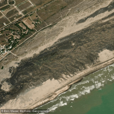
Playa Fernando Erica
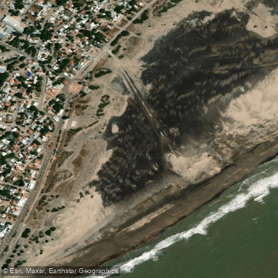
Playa Central
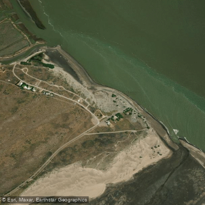
Playa El Pescadero
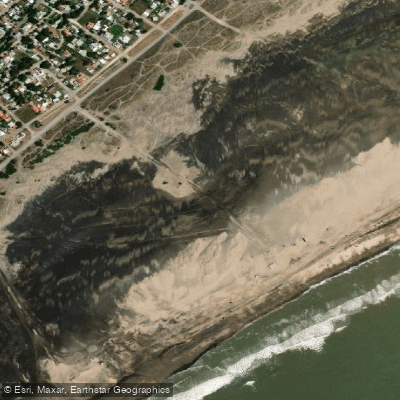
Playa Cailotto
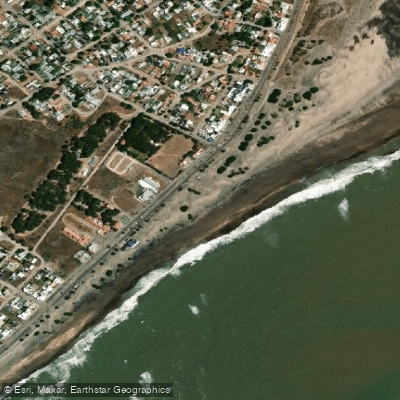
Playa Intermedia
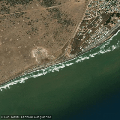
Playa El Faro
Explore Buenos Aires waters
Top paddling waters
No waters available right now.
Popular Cities
Loading popular cities...
Explore near Banco Miguel

Smarter Paddling Starts in the App.
Paddleways gives you everything you need to plan smarter, paddle better, and own every trip from first launch to takeout.