Río Negro
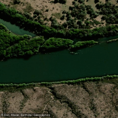
Río Negro
- Boat Ramps
- 13
- Access Points
- 0
- Campsites
- 5
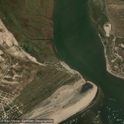
The Río Negro is the main river of Patagonia in terms of drainage basin size and flow rate in eastern Patagonia. It originates at the confluence of the Limay River and the Neuquén River at the border with Neuquén Province, then flows southeast through Patagonian steppe for approximately 635 kilometers before emptying into the Atlantic Ocean near El Cóndor beach resort, roughly 30 km downstream from Viedma, the provincial capital. The river's name derives from the Mapuche term Curú Leuvú, though the water itself tends toward green rather than black. It was historically also called Río de los Sauces for the abundant weeping willows lining its lower course.
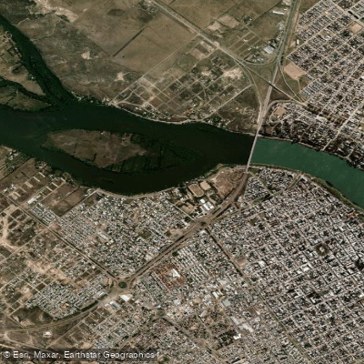
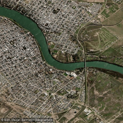
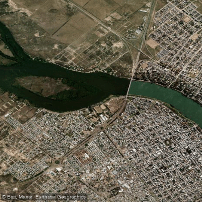
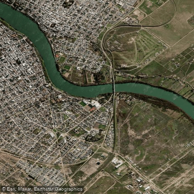
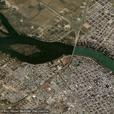
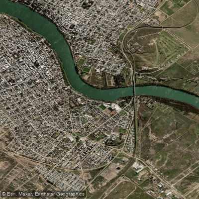
The lower 400 km of the river are navigable, making this stretch the primary zone of interest for paddlers. The river passes through open Patagonian steppe, a landscape defined by wide skies and sparse vegetation, with weeping willows providing notable riparian character along the lower reaches. The river's course passes near or through several population centers, including Villa Regina, and terminates near the twin cities of Viedma and Carmen de Patagones.
The Regata del Río Negro, held on this river, is recognized as the longest kayak race in the world, which speaks to the river's suitability for extended flatwater paddling expeditions. Kayakers regularly complete the full length of the river, and there is a strong tradition of paddlers navigating the river over multi-day journeys. The river's character across its navigable lower section is that of a large, flatwater Patagonian river crossing open steppe terrain.
Given the river's length and the scale of the navigable section, multi-day expeditions are the natural format for paddling here. The river's size and the surrounding agricultural and steppe landscape define the experience — this is a long-distance, open-water undertaking rather than a technical whitewater run.
Water access, boat ramps & amenities
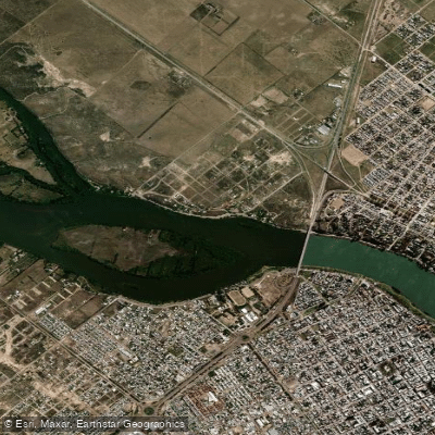
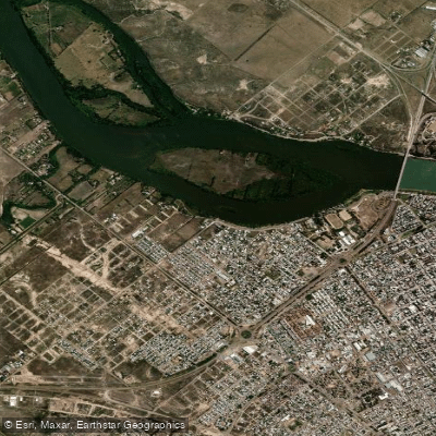
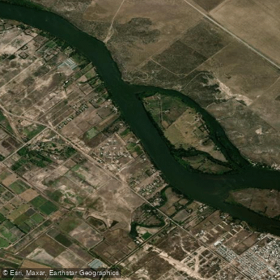
Learn how to get on Río Negro. Uncover great paddling access points, boat ramps, and all the facilities you need for an unforgettable day on the water. Some locations shown may border or include private property. Always check property boundaries and applicable regulations before visiting. PaddleWays's Public & Private Land layer can help you plan your access with confidence.
Paddle smarter with real-time insights
Whether you're en route and conditions shift or you're looking for the best spot based on current flows, we enable you to make informed decisions on the fly.







Buenos Aires licenses and regulations

Find Places to Paddle

Over 400,000 Places to Paddle
Every user gets free access to launch points, boat ramps, and public property parcels.


Water and weather conditions (10 day forecast)
See the best times to paddle Río Negro and check the forecast before you go.
Negro - Primera Angostura
All Flow Stations
Paddling near Río Negro
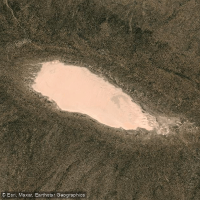
Laguna Tachuela
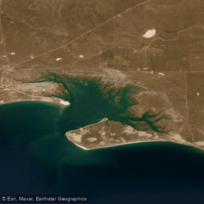
Bahía de San Antonio
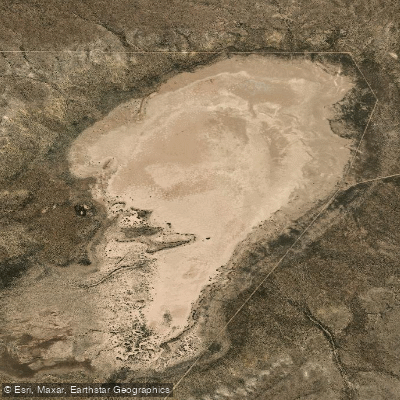
Laguna Grande
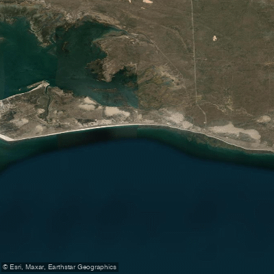
Bahía Ballenas
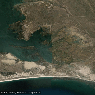
Saco Viejo
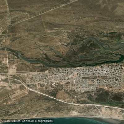
Caleta Oeste
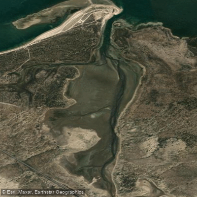
Caleta Falsa
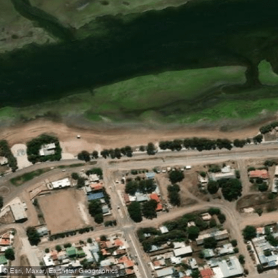
Balneario Los Tamariscos
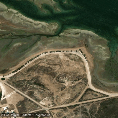
Balneario Arbolito de Salas
Explore Buenos Aires waters
Top paddling waters
No waters available right now.
Popular Cities
Loading popular cities...
Explore near Río Negro
Access points
Nearby waters
More in Buenos Aires

Smarter Paddling Starts in the App.
Paddleways gives you everything you need to plan smarter, paddle better, and own every trip from first launch to takeout.