Río Tapenagá
Río Tapenagá
- Boat Ramps
- 0
- Access Points
- 0
- Campsites
- 0
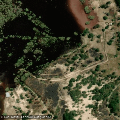
The Río Tapenagá is a 300-kilometer waterway located primarily in the province of Chaco, Argentina, with its lower course passing through the province of Santa Fe before emptying into the Río Paraná Miní at approximately 28°04′45″S, 59°09′22″W. The name derives from the indigenous words "tape" (road) and "naga" (souls).
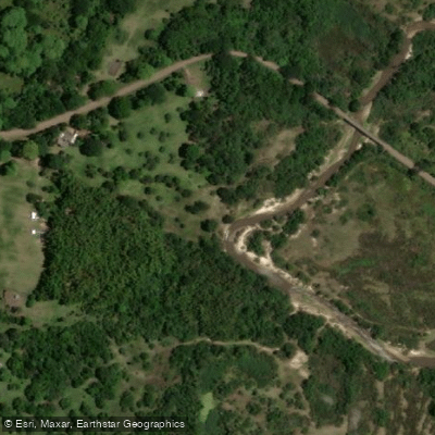
The river flows through lush, humid woodland interspersed with water hyacinths and irupés (giant water lilies). The surrounding terrain features clay soils and an irregular forest canopy. The water is clear and notably fresh, fed by rainfall from the Bajos Submeridionales and the region's high ambient humidity. The river transports between 3 and 8 percent of the total water accumulated within its catchment basin.
The clay soils and irregular vegetation cover contribute to an uneven flow regime throughout the year compared to other rivers in the region, which is a relevant consideration for trip planning. Paddlers should be aware that water levels and current conditions can vary considerably depending on seasonal rainfall patterns.
The corridor along the river, known locally as the "línea Tapenagá," has some ecotourism infrastructure in the form of cabins. The river is also crossed by bridges constructed from algarrobo and quebracho timber, some of which are over 100 years old, providing points of historical and cultural interest along the route. The lower section of the river, near Florencia in the province of Santa Fe, is accessible from the Ruta Nacional N°11 bridge, which represents one documented crossing point.
The overall character of the paddling environment is defined by dense riparian woodland, aquatic vegetation, and relatively clear water in a flat, low-lying landscape typical of the Chaco region.
Water access, boat ramps & amenities
Learn how to get on Río Tapenagá. Uncover great paddling access points, boat ramps, and all the facilities you need for an unforgettable day on the water. Some locations shown may border or include private property. Always check property boundaries and applicable regulations before visiting. PaddleWays's Public & Private Land layer can help you plan your access with confidence.
Paddle smarter with real-time insights
Whether you're en route and conditions shift or you're looking for the best spot based on current flows, we enable you to make informed decisions on the fly.







Chaco licenses and regulations

Find Places to Paddle

Over 400,000 Places to Paddle
Every user gets free access to launch points, boat ramps, and public property parcels.


Water and weather conditions (10 day forecast)
See the best times to paddle Río Tapenagá and check the forecast before you go.
CIRHBAS - LIM Aº TAPENAGA - ESTANCIA TAPENAGA
Paddling near Río Tapenagá

Explore Chaco waters
Top paddling waters
No waters available right now.
Popular Cities
Loading popular cities...
Explore near Río Tapenagá
More in Chaco

Smarter Paddling Starts in the App.
Paddleways gives you everything you need to plan smarter, paddle better, and own every trip from first launch to takeout.