Río Paraná
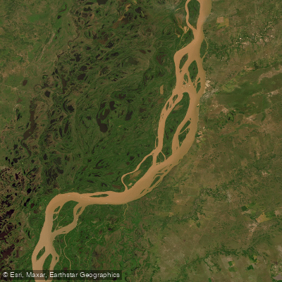
Río Paraná
- Boat Ramps
- 0
- Access Points
- 0
- Campsites
- 2
The Río Paraná in the province of Santa Fe flows through the Argentine litoral region, and the stretch across from the city of Rosario represents the high section of the Paraná Delta. Here the river moves amid slopes and channels formed between islands, creating a network of waterways suited to kayaking and other paddle craft. The climate is temperate humid, which generally supports year-round outdoor activity, though a recommended stay of one to three days suggests the area rewards more than a single outing.
Access to the water is from the north coast near Rosario, where guided kayak operations launch trips. Rosario is reachable by air via the "Islas Malvinas" International Rosario Airport, or by land along Ruta Nacional 9, approximately 300 km from Buenos Aires, by car or bus.
The paddling character is defined by navigating the channels between islands rather than open-water crossings. The ecosystem is highly biodiverse, with fine sand beaches and vegetation that changes noticeably as paddlers move through the delta. Guided trips begin with instruction in kayaking techniques and safety briefings, and participants are equipped with helmets, neoprene suits, life vests, and paddles before launching. The presence of guided operations with safety protocols makes this an appropriate environment for paddlers of varying experience levels, though the moving river current and island terrain warrant attention to navigation.
Wildlife and natural features are a notable draw, with the delta's biodiversity offering opportunities for observation along the route. The fine sand beaches provide potential rest stops within the island channels.
Water access, boat ramps & amenities
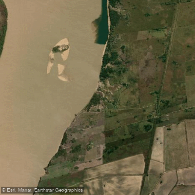
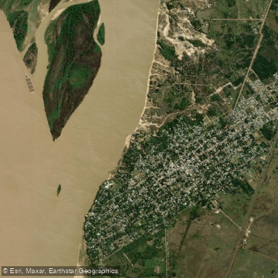
Learn how to get on Río Paraná. Uncover great paddling access points, boat ramps, and all the facilities you need for an unforgettable day on the water. Some locations shown may border or include private property. Always check property boundaries and applicable regulations before visiting. PaddleWays's Public & Private Land layer can help you plan your access with confidence.
Paddle smarter with real-time insights
Whether you're en route and conditions shift or you're looking for the best spot based on current flows, we enable you to make informed decisions on the fly.







Chaco licenses and regulations

Find Places to Paddle

Over 400,000 Places to Paddle
Every user gets free access to launch points, boat ramps, and public property parcels.


Water and weather conditions (10 day forecast)
See the best times to paddle Río Paraná and check the forecast before you go.
Empedrado
All Flow Stations
Paddling near Río Paraná

Río Paraná
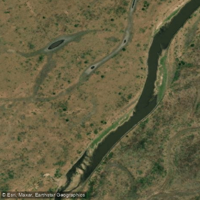
Río Santa Lucía
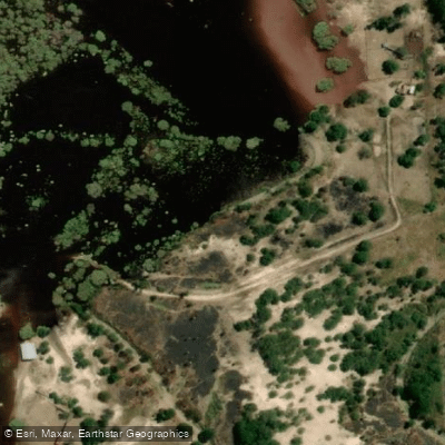
Río Tapenagá
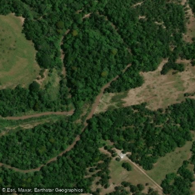
Río Tragadero
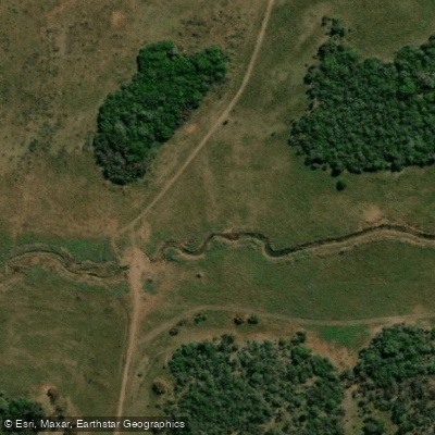
Arroyo Ahoma
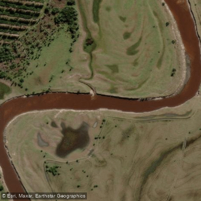
Arroyo Batel
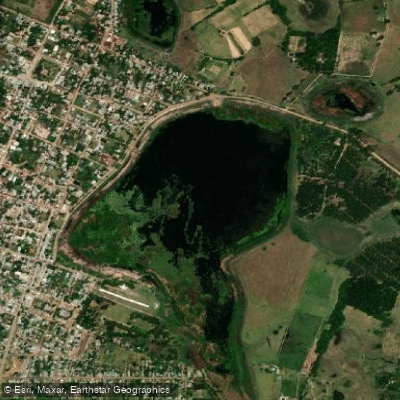
Laguna Soto
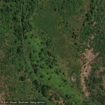
Riacho Ibirá Pitá
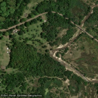
Arroyo Riachuelo
Explore Chaco waters
Top paddling waters
No waters available right now.
Popular Cities
Loading popular cities...
Explore near Río Paraná

Smarter Paddling Starts in the App.
Paddleways gives you everything you need to plan smarter, paddle better, and own every trip from first launch to takeout.