Bahía Solano
- Saltwater
- Bay
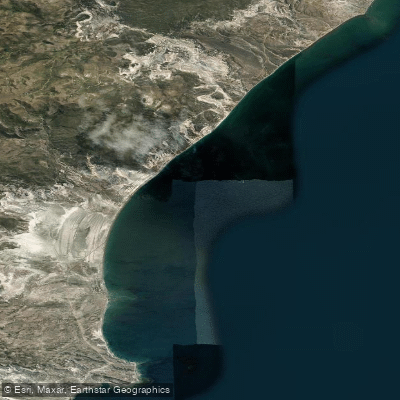
Bahía Solano
- Saltwater
- Bay
- Sq. miles
- 24
- Boat Ramps
- 0
- Access Points
- 0
- Campsites
- 0
Bahía Solano is a large bay within the Golfo San Jorge on the Patagonian coast of Argentina. The paddling experience here is defined by exposure to the open Atlantic Ocean, resulting in significant swell and powerful, consistent winds, often reported around 20 knots from the west. The shoreline consists of endless, steep pebble beaches at a roughly 45-degree angle, making landing and launching a technical and potentially hazardous maneuver that requires precise timing with the wave sets to avoid being swamped or rolled. The fetch across the gulf is substantial, allowing for large, uninterrupted swell. The overall character is one of remote, challenging coastal expedition paddling where covering distance is a primary focus, with few natural landing spots offering shelter. The landscape is dramatic, featuring rugged cliffs, rocky islands, and repetitive stretches of steep beach backed by hills. Wildlife includes large colonies of seabirds, with dolphins and orcas occasionally sighted within the bay. There are no formal public access points, launch facilities, or amenities for paddlers; trips typically begin from remote beaches. The water is clear and cold, influenced by Antarctic currents. Paddlers must be self-sufficient, prepared for strong headwinds, and skilled in surf zone entries and exits on unstable pebble shores. The area is part of a working landscape with estancias, and paddlers may share the environment with horseback riders and birdwatchers, particularly near the Peninsula Gravina which hosts numerous bird colonies.
Water access, boat ramps & amenities
Learn how to get on Bahía Solano. Uncover great paddling access points, boat ramps, and all the facilities you need for an unforgettable day on the water. Some locations shown may border or include private property. Always check property boundaries and applicable regulations before visiting. PaddleWays's Public & Private Land layer can help you plan your access with confidence.
Paddle smarter with real-time insights
Whether you're en route and conditions shift or you're looking for the best spot based on current flows, we enable you to make informed decisions on the fly.







Chubut licenses and regulations

Find Places to Paddle

Over 400,000 Places to Paddle
Every user gets free access to launch points, boat ramps, and public property parcels.


Tides, wind & water conditions (10 day forecast)
On open water, wind and tide matter as much as the weather. See the best times to paddle Bahía Solano and check the marine forecast before you launch.
Loading tide predictions…
Paddling near Bahía Solano
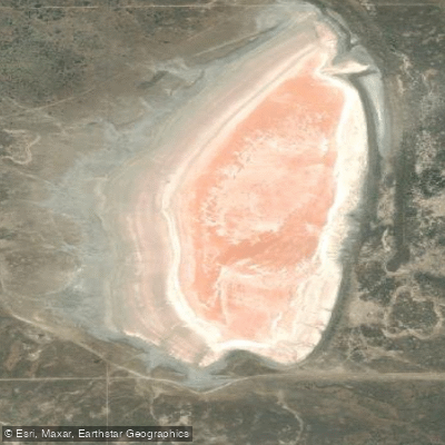
Laguna Salada
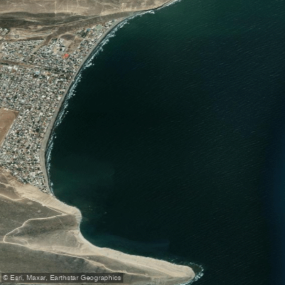
Rada Tilly
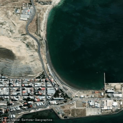
Costanera
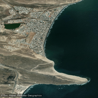
Balneario Rada Tilly
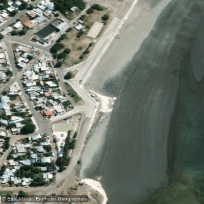
Playa de Restinga
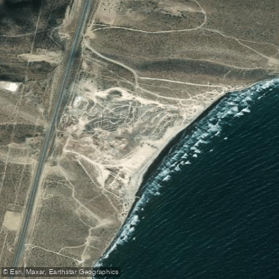
Playa Belvedere
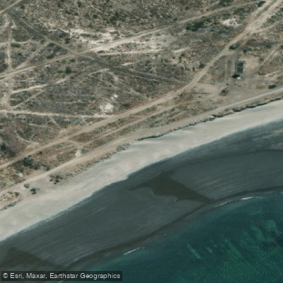
Playa Compresora
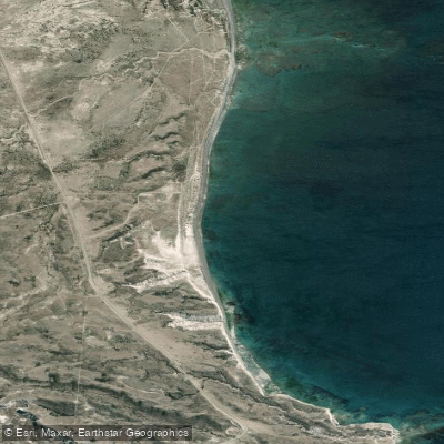
Playa Barrancas Blancas
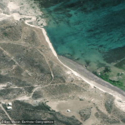
Playa Faro San Jorge
Explore Chubut waters
Top paddling waters
No waters available right now.
Popular Cities
Loading popular cities...
Explore near Bahía Solano

Smarter Paddling Starts in the App.
Paddleways gives you everything you need to plan smarter, paddle better, and own every trip from first launch to takeout.