Playa de Restinga
- Saltwater
- Beach
Playa de Restinga
- Saltwater
- Beach
- Sq. miles
- 0
- Boat Ramps
- 0
- Access Points
- 0
- Campsites
- 0
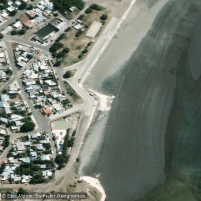
Playa de Restinga Alí is a broad, sandy beach located approximately 6 km from the Faro San Jorge and El Farallón, near Comodoro Rivadavia in Chubut, Argentina. The beach offers a spectacular panoramic view of the sea and is characterized by its clear sand. Access is straightforward, with a location pin at 6H3V+6V Comodoro Rivadavia, and the area is known to attract significant vehicle traffic during peak times. The beach is very wide, a factor noted by local lifeguard services. Paddlers should be aware of the surf and shore-break conditions, which can vary; reports indicate the sea can be "bravo" or rough, making launching difficult, while other days feature a gentle swell and light winds that are conducive to nautical sports. Tide plays a significant role, with low tide creating pools and altering the shoreline. The beach has a designated, supervised swimming area during the summer season, but areas outside this zone, particularly near a sewage drain, are not safe for bathing. A notable hazard is the presence of submerged wreckage from the Ludovico, an Argentine ship that sank there in 1916, with some twisted irons still visible. The beach provides a direct launch point for exploring the coastal views and nearby landmarks like Faro San Jorge. Amenities are seasonal, with lifeguard services present during the summer. The overall vibe is that of a popular local beach for relaxation and coastal walks, which can get busy, but it also offers a starting point for more adventurous coastal paddling when conditions permit.
Water access, boat ramps & amenities
Learn how to get on Playa de Restinga. Uncover great paddling access points, boat ramps, and all the facilities you need for an unforgettable day on the water. Some locations shown may border or include private property. Always check property boundaries and applicable regulations before visiting. PaddleWays's Public & Private Land layer can help you plan your access with confidence.
Paddle smarter with real-time insights
Whether you're en route and conditions shift or you're looking for the best spot based on current flows, we enable you to make informed decisions on the fly.







Chubut licenses and regulations

Find Places to Paddle

Over 400,000 Places to Paddle
Every user gets free access to launch points, boat ramps, and public property parcels.


Tides, wind & water conditions (10 day forecast)
On open water, wind and tide matter as much as the weather. See the best times to paddle Playa de Restinga and check the marine forecast before you launch.
Loading tide predictions…
Paddling near Playa de Restinga
Laguna Salada
Bahía Solano
Rada Tilly
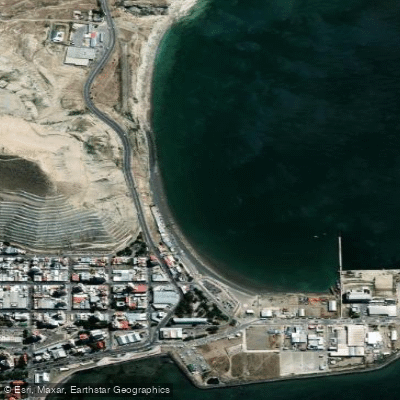
Costanera
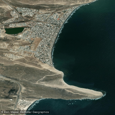
Balneario Rada Tilly
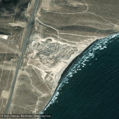
Playa Belvedere
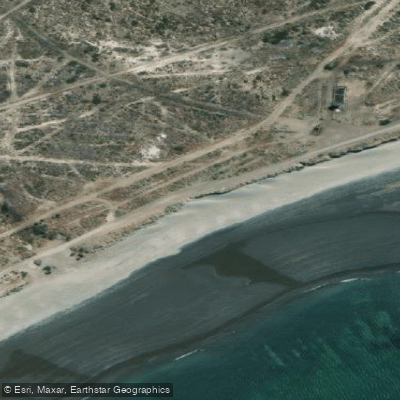
Playa Compresora
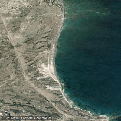
Playa Barrancas Blancas
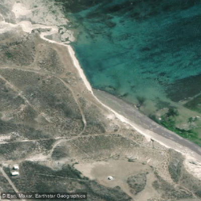
Playa Faro San Jorge
Explore Chubut waters
Top paddling waters
No waters available right now.
Popular Cities
Loading popular cities...
Explore near Playa de Restinga

Smarter Paddling Starts in the App.
Paddleways gives you everything you need to plan smarter, paddle better, and own every trip from first launch to takeout.