Paddling in Chubut
- Lakes
- 219
- Rivers
- 159
- Access
- 0
- Boat Ramps
- 19
- Shops
- 0
Chubut is a big, varied province — Patagonian steppe across most of its width, Andean cordillera along its western edge, and a long Atlantic coast to the east.
The paddling follows that geography: the serious whitewater and lake touring concentrate in the mountains, the coast draws sea kayakers willing to work for their wilderness, and the rivers threading the steppe are mostly a different kind of trip altogether.
The western cordillera is where most paddlers come first.
The Río Grande, also known as the Futaleufú on the Chilean side of the border, is the anchor — a big-volume river running through steep Andean terrain, carrying the kind of gradient and power that puts it firmly in the grade 4–5 range.
It's the only Argentine river that flows west into Chile, which tells you something about the topography. The base towns are Esquel and Trevelin, both reachable by bus or car via Ruta 40.
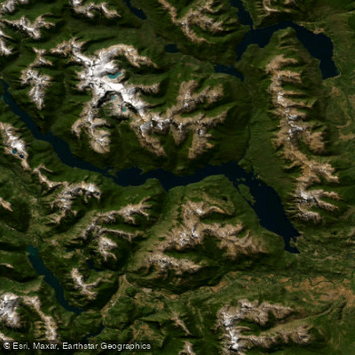
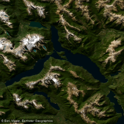
The surrounding lake district — Lago Futalaufquen, Lago Rivadavia, Lago Menéndez — sits inside Los Alerces National Park and rewards slower, exploratory paddling.
These are deep glacial lakes in forested mountains, the kind of place where you want a touring kayak and a few days rather than a day trip. North of Esquel, the Río Azul and Lago Puelo draw paddlers into the Comarca Andina.
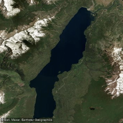
Lago Epuyén and Lago Cholila are part of the same cluster of Andean lakes — quieter water, good for multi-day touring. The Río Epuyén connects some of these lakes and adds a moving-water option.
Puerto Patriada on Lago Puelo has been a put-in for guided kayak days.
The summer season here runs roughly November through March, when Patagonian weather is most cooperative, though wind is always a factor on the larger lakes and can shut down crossings without warning. The Atlantic coast is a different proposition entirely.
Península Valdés and the surrounding Chubut coastline have attracted serious sea kayak expeditions — the kind that require permission from the provincial Ministry of Environment and Tourism and involve wildlife monitoring as part of the deal.
The outer coast is not casual paddling: reef, cliff, and tide rips make it committing water. Expeditions here have operated under strict no-trace protocols, with official oversight.
Anyone planning a coastal trip should go through the provincial authorities before launching. The Río Chubut drains the steppe from west to east across the province — a long, lower-gradient river that's a different kind of undertaking than the Andean runs.
The Embalse Amutui Quimei, a reservoir in the cordillera, adds flatwater to the western options. Chubut rewards paddlers who do their homework. The rivers are real, the logistics take planning, and the weather doesn't negotiate.
But the water is there — from glacial lakes in old-growth forest to one of the continent's most demanding big-water rivers to a coast that very few kayakers have ever seen from the water.
Paddle smarter with real-time insights
Whether you're en route and conditions shift or you're looking for the best spot based on current flows, we enable you to make informed decisions on the fly.







Chubut licenses and regulations
Explore Chubut waters
Top paddling waters
Popular Cities
Loading popular cities...

Smarter Paddling Starts in the App.
Paddleways gives you everything you need to plan smarter, paddle better, and own every trip from first launch to takeout.