Río Santa Lucía
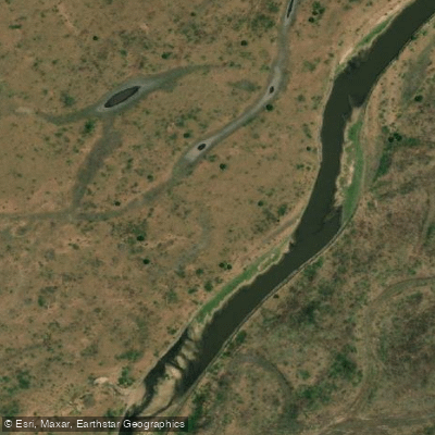
Río Santa Lucía
- Boat Ramps
- 0
- Access Points
- 0
- Campsites
- 1
The Río Santa Lucía is a river in Corrientes Province, Argentina, flowing approximately 310 kilometers in total, of which around 190 kilometers constitute a defined channel. It originates in the Iberá Wetlands, where its headwaters emerge from low-gradient depressions and shallow marshes known locally as esteros. From there it flows predominantly from northeast to southwest, passing through nine departments — General Paz, San Miguel, Mburucuyá, Concepción, Saladas, San Roque, Bella Vista, Lavalle, and Goya — before emptying into the Río Paraná between the towns of Lavalle and Goya. The source elevation is approximately 63 meters, dropping to around 38 meters at the mouth.
The river drains a flat plains landscape, and its origins in the esteros mean that those wetlands act as natural buffers, significantly slowing drainage and dampening flood peaks. The drainage network has a rectangular pattern, with a well-defined, relatively straight main channel and tributaries joining at roughly right angles. This geometry, combined with the low-gradient terrain, creates generally calm, slow-moving water along much of the defined channel reach.
The town of Santa Lucía, which the river passes through and shares its name with, has a balneario (river beach) on its banks featuring white sand, a freshwater pool with continuous flow, and full visitor services. Kayaking and river excursions take place on the river in this area.
The river's connection to the Iberá Wetlands gives it ecological significance within the broader Corrientes river system, and the surrounding landscape reflects the characteristic flat, wetland-influenced geography of northeastern Argentina.
Water access, boat ramps & amenities
Learn how to get on Río Santa Lucía. Uncover great paddling access points, boat ramps, and all the facilities you need for an unforgettable day on the water. Some locations shown may border or include private property. Always check property boundaries and applicable regulations before visiting. PaddleWays's Public & Private Land layer can help you plan your access with confidence.
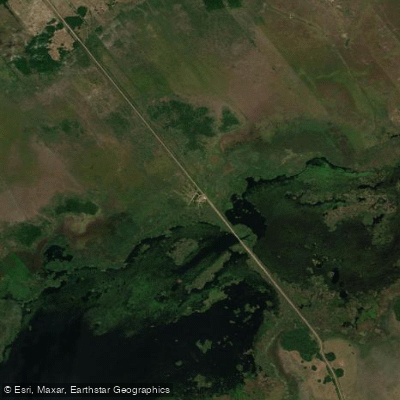
Paddle smarter with real-time insights
Whether you're en route and conditions shift or you're looking for the best spot based on current flows, we enable you to make informed decisions on the fly.







Corrientes licenses and regulations

Find Places to Paddle

Over 400,000 Places to Paddle
Every user gets free access to launch points, boat ramps, and public property parcels.


Water and weather conditions (10 day forecast)
See the best times to paddle Río Santa Lucía and check the forecast before you go.
Santa Lucia - Santa Lucia
Paddling near Río Santa Lucía

Río Paraná
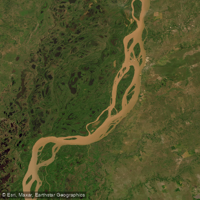
Río Paraná
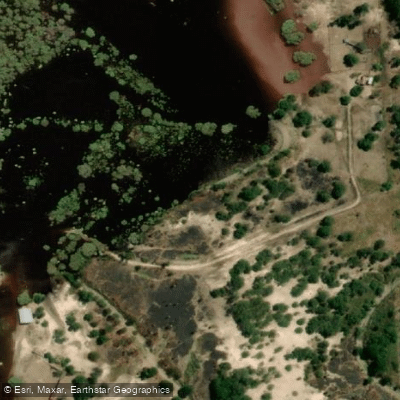
Río Tapenagá
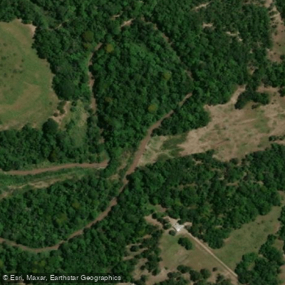
Río Tragadero
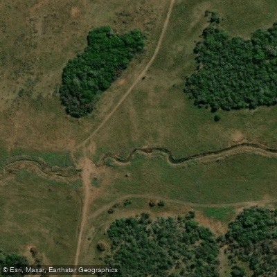
Arroyo Ahoma
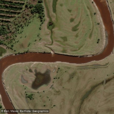
Arroyo Batel
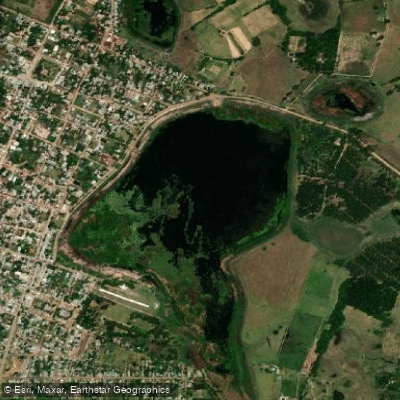
Laguna Soto
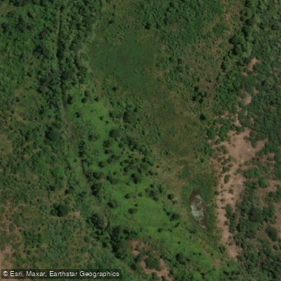
Riacho Ibirá Pitá
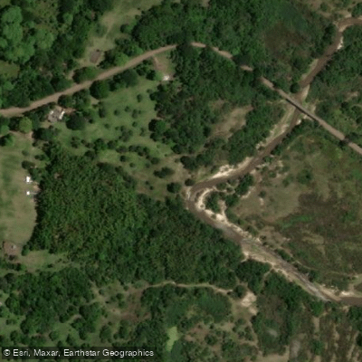
Arroyo Riachuelo
Explore Corrientes waters
Top paddling waters
No waters available right now.
Popular Cities
Loading popular cities...
Explore near Río Santa Lucía
Access points
Nearby waters
More in Corrientes

Smarter Paddling Starts in the App.
Paddleways gives you everything you need to plan smarter, paddle better, and own every trip from first launch to takeout.