Río Anizacate
Río Anizacate
- Boat Ramps
- 0
- Access Points
- 0
- Campsites
- 8
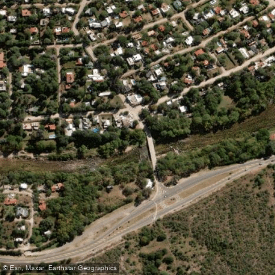
The Río Anizacate is a roughly 43-kilometer river in the Provincia de Córdoba, Argentina, forming at the confluence of the Río De La Suela and Río San José on the eastern slopes of the Sierras Grandes. From its source at approximately 783 meters elevation, it descends to around 433 meters at its mouth, where it joins the Río Xanaes (also known as the Río Segundo) near the village of Despeñaderos. The river is part of the endorheic Mar Chiquita basin and carries an average flow of 4.83 cubic meters per second.
The river is non-navigable and not suited for boat travel. Paddlers considering this waterway should take this designation seriously before planning any trip. The river's character is that of a shallow, sandy-bottomed mountain stream with clear water, and it is heavily used as a family recreation area during the summer months, particularly along the approximately 7-kilometer stretch near the town of Anisacate. Multiple vehicle access points exist along this stretch, including approaches via Avenida Los Naranjos and Avenida Los Eucaliptos, and there are camping areas along the banks.
The river's fauna has been affected by human pressure, though several fish species are still present. The ruins of one of Córdoba province's earliest hydroelectric plants remain at the locality of Los Aromos, a historical feature along the river corridor. The summer season sees the heaviest recreational use of the river.
Water access, boat ramps & amenities
Learn how to get on Río Anizacate. Uncover great paddling access points, boat ramps, and all the facilities you need for an unforgettable day on the water. Some locations shown may border or include private property. Always check property boundaries and applicable regulations before visiting. PaddleWays's Public & Private Land layer can help you plan your access with confidence.
Paddle smarter with real-time insights
Whether you're en route and conditions shift or you're looking for the best spot based on current flows, we enable you to make informed decisions on the fly.







Córdoba licenses and regulations

Find Places to Paddle

Over 400,000 Places to Paddle
Every user gets free access to launch points, boat ramps, and public property parcels.


Water and weather conditions (10 day forecast)
See the best times to paddle Río Anizacate and check the forecast before you go.
Anizacate - Santa Ana
Paddling near Río Anizacate
Río Segundo (Xanaes)
Río de los Reartes
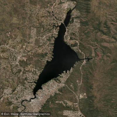
Embalse San Roque
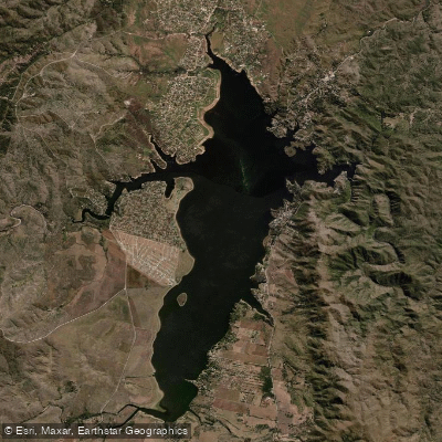
Embalse Los Molinos
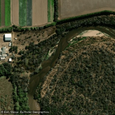
Río Primero (Suquía)
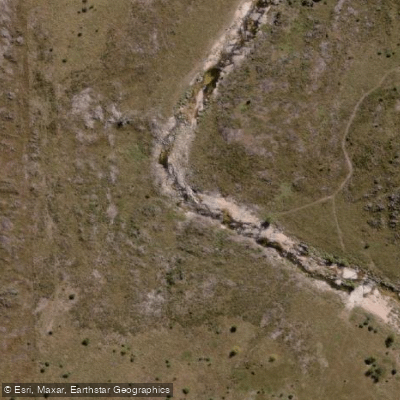
Río de la Suela
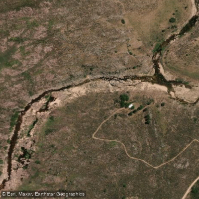
Río Yuspe
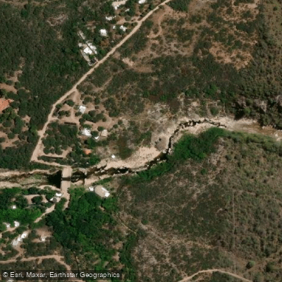
Río Chico de Nono
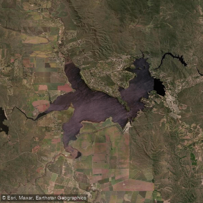
Embalse Ministro Juan Pistarini
Explore Córdoba waters
Top paddling waters
No waters available right now.
Popular Cities
Loading popular cities...
Explore near Río Anizacate
Access points
Nearby waters
More in Córdoba

Smarter Paddling Starts in the App.
Paddleways gives you everything you need to plan smarter, paddle better, and own every trip from first launch to takeout.