Río Yuspe
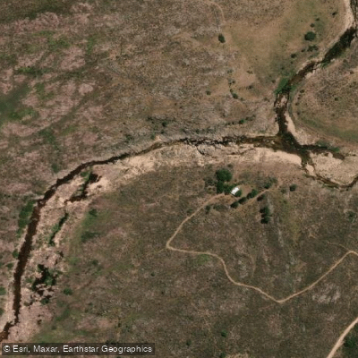
Río Yuspe
- Boat Ramps
- 0
- Access Points
- 0
- Campsites
- 2
Río Yuspe originates at approximately 1,900 meters above sea level in the Los Gigantes massif, in the northern section of the Pampa de Achala, and descends roughly 80 kilometers before joining the Río San Francisco at a confluence known as Juntura de los Ríos, where together they form the Río Cosquín. The Cosquín ultimately flows into Lago San Roque. The river drops to around 714 meters at its mouth, making for a significant elevation change over its course.
The river is non-navigable. Its channel is well-defined but highly tortuous, as is typical of watercourses descending through rocky mountain terrain. The flow varies considerably throughout the year: in winter the river can shrink to a minimal trickle barely sufficient to support aquatic life, while summer flash floods can raise water levels by up to 10 meters at the Juntura de los Ríos section. This torrential character makes the river genuinely hazardous, particularly in the middle and lower reaches where it cuts through medium-sized rock canyons. The water is notably cold.
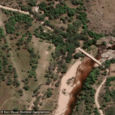
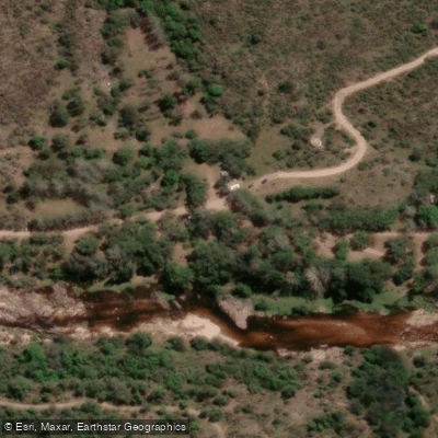
Access to the lower reaches near the confluence is relatively straightforward, but traveling upstream becomes increasingly difficult as the river passes through narrow rock gorges carved over millennia. The standard entry point for trekking along the river is the Parador del Yuspe, located 31 kilometers from the town of Tanti. From there, visitors proceed on foot along the riverbed. The river corridor passes through sandy beaches suitable for rest stops, sections where high rock walls enclose the fast-moving water, and areas with dense vegetation including ferns and maitenes. A natural pool with a thin waterfall, known locally as the Santuario del Río Yuspe, is one of the notable features along the route.
The river lies within the Reserva Hídrica Pampa de Achala, a protected area. Visitors are expected to follow conservation guidelines: no feeding wildlife, no fires, no collecting natural materials, and packing out all waste. Park rangers patrol the area. Fishing for trout is permitted between October and May, with a closed season covering the remaining months. The river is approximately 63 kilometers from the city of Córdoba via Ruta Nacional 20, with a drive time of roughly one to one and a half hours.
Water access, boat ramps & amenities
Learn how to get on Río Yuspe. Uncover great paddling access points, boat ramps, and all the facilities you need for an unforgettable day on the water. Some locations shown may border or include private property. Always check property boundaries and applicable regulations before visiting. PaddleWays's Public & Private Land layer can help you plan your access with confidence.
Paddle smarter with real-time insights
Whether you're en route and conditions shift or you're looking for the best spot based on current flows, we enable you to make informed decisions on the fly.







Córdoba licenses and regulations

Find Places to Paddle

Over 400,000 Places to Paddle
Every user gets free access to launch points, boat ramps, and public property parcels.


Water and weather conditions (10 day forecast)
See the best times to paddle Río Yuspe and check the forecast before you go.
No forecast data available.
Paddling near Río Yuspe
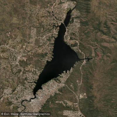
Embalse San Roque
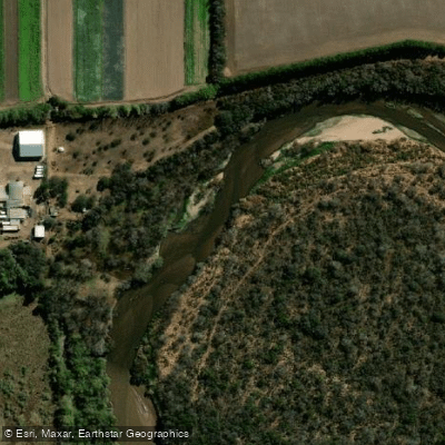
Río Primero (Suquía)
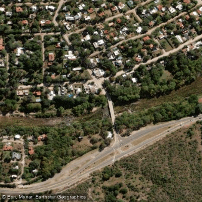
Río Anizacate
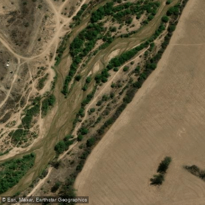
Río Segundo (Xanaes)
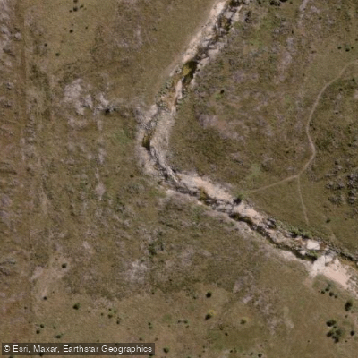
Río de la Suela
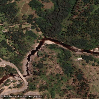
Río de los Reartes
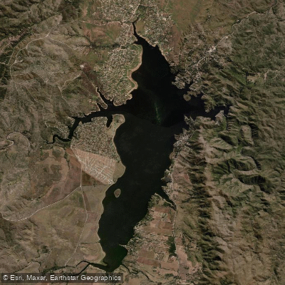
Embalse Los Molinos
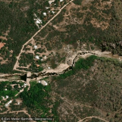
Río Chico de Nono
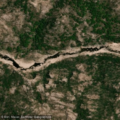
Río Mina Clavero
Explore Córdoba waters
Top paddling waters
No waters available right now.
Popular Cities
Loading popular cities...
Explore near Río Yuspe

Smarter Paddling Starts in the App.
Paddleways gives you everything you need to plan smarter, paddle better, and own every trip from first launch to takeout.