Río Segundo (Xanaes)
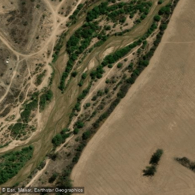
Río Segundo (Xanaes)
- Boat Ramps
- 0
- Access Points
- 0
- Campsites
- 0
The Río Segundo, also known by its indigenous name Xanaes, is a river running through the center-north of Córdoba province in Argentina. It originates on the eastern slopes of the Cumbres de Achala, part of the Sierras Grandes, at roughly 2,000 meters above sea level. The river forms at the confluence of the Río Los Molinos and Río Anisacate within the Valle de Paravachasca, near the city of Despeñaderos, where it also receives waters from several other mountain streams including the Río De la Suela, Los Condoritos, San José, San Pedro, Los Espinillos, Medio, and Los Reartes.
From its mountain origins, the river flows generally west to east through the sierra zone before transitioning to the Pampas plain near Despeñaderos, where it shifts to a southwest-northeast direction. Its total length is approximately 340 kilometers, terminating at the Laguna de Mar Chiquita, a large salt lake, via two main distributary arms — the more westerly of which is known as the Canal de Plujunta. Along its course, the river passes through or near the cities and towns of Río Segundo, Pilar, Villa del Rosario, Tránsito, Arroyito, El Tío, Concepción del Tío, Marull, Balnearia, and Altos de Chipión.
The river's course includes the Los Molinos Dam reservoir, which is used for hydroelectric generation. The upper reaches through the sierra zone offer a distinctly different character from the lower plains sections, with sandy beaches and accessible stretches along the river's course. The Río Segundo forms part of the major endorheic basin of central Argentina, together with the Río Primero (Suquía) and the Río Dulce.
The name Xanaes is believed to derive from the language of the Comechingones, the indigenous people of the region. The name fell largely out of use but was reintroduced on maps in the 1980s; local residents continue to use the name Río Segundo in everyday speech. The river is the second in a series of five rivers that cross Córdoba province from west to east, numbered from north to south.
Water access, boat ramps & amenities
Learn how to get on Río Segundo (Xanaes). Uncover great paddling access points, boat ramps, and all the facilities you need for an unforgettable day on the water. Some locations shown may border or include private property. Always check property boundaries and applicable regulations before visiting. PaddleWays's Public & Private Land layer can help you plan your access with confidence.
Paddle smarter with real-time insights
Whether you're en route and conditions shift or you're looking for the best spot based on current flows, we enable you to make informed decisions on the fly.







Córdoba licenses and regulations

Find Places to Paddle

Over 400,000 Places to Paddle
Every user gets free access to launch points, boat ramps, and public property parcels.


Water and weather conditions (10 day forecast)
See the best times to paddle Río Segundo (Xanaes) and check the forecast before you go.
Segundo - Despeñaderos RN Nº 3
Paddling near Río Segundo (Xanaes)
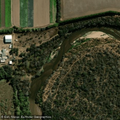
Río Primero (Suquía)
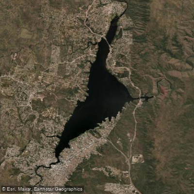
Embalse San Roque
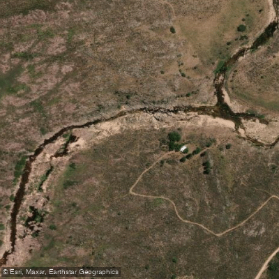
Río Yuspe
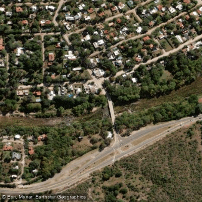
Río Anizacate
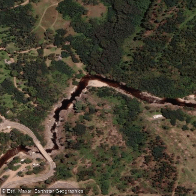
Río de los Reartes
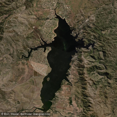
Embalse Los Molinos
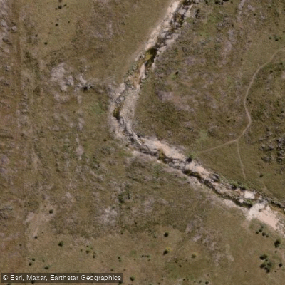
Río de la Suela
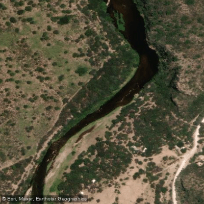
Río Quilipo
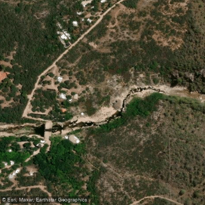
Río Chico de Nono
Explore Córdoba waters
Top paddling waters
No waters available right now.
Popular Cities
Loading popular cities...
Explore near Río Segundo (Xanaes)

Smarter Paddling Starts in the App.
Paddleways gives you everything you need to plan smarter, paddle better, and own every trip from first launch to takeout.