Río Cruz del Eje
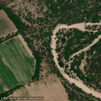
Río Cruz del Eje
- Boat Ramps
- 0
- Access Points
- 0
- Campsites
- 6
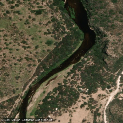
The Río Cruz del Eje is formed by the confluence of the ríos San Marcos, Quilpo, and Candelaria in the northwestern corner of Córdoba province, Argentina, roughly 144 km from the provincial capital. From its headwaters it drains a basin of approximately 1,700 km² and runs a total length of around 200 km before terminating in the Salinas Grandes, an endorheic depression with no outlet to the sea. Mean flow is recorded at 3 m³/s, reflecting the semi-arid character of the region — a transitional zone between the Sierras de Córdoba and the desert lowlands.
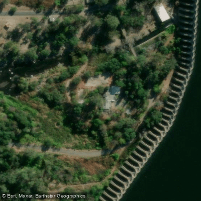
The dominant feature on the river is the Dique Cruz del Eje, an impoundment completed in 1943 and substantially remodeled in 1980. Its dam wall extends 3,080 m, making it one of the longest in South America, and the reservoir holds 112 Hm³ at spillway level. The embalse is located approximately 7–8 km south of the city of Cruz del Eje and is accessible via Ruta Nacional 38 and provincial route A185. The reservoir is explicitly promoted for kayak and windsurf activities, and boat rental clubs operate in the area. The broad, open water surface and the backdrop of the sierras define the paddling environment on the embalse.
Downstream of the dam, the Río Cruz del Eje passes through the urban area of Cruz del Eje, where the riverbanks have been developed with balnearios — sandy beach areas with facilities for day use, including asadores (grills) — making this stretch a popular recreational corridor, particularly in summer. The river in this section runs to the right of Avenida Arturo Illia heading south from the city center, with several clubs and recreational spaces along the way.
Fish species present in the reservoir include pejerrey, carpa, tararira, dientudo, and dorado. The region is characterized by a dry climate with approximately 300 clear days per year, which has practical implications for paddlers regarding sun exposure and wind conditions on the open reservoir.
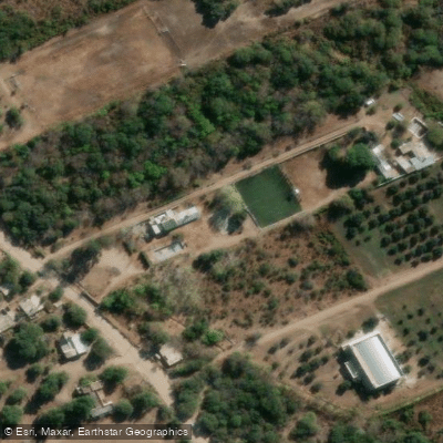
Water access, boat ramps & amenities
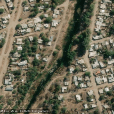
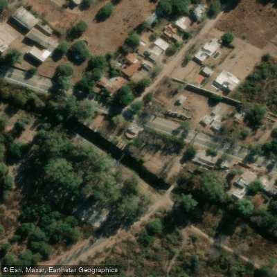
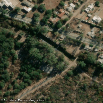
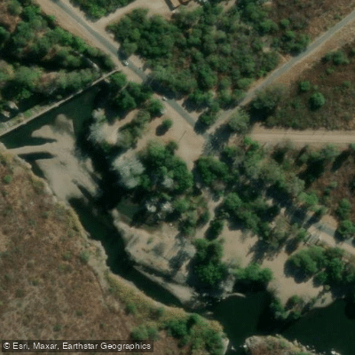
Learn how to get on Río Cruz del Eje. Uncover great paddling access points, boat ramps, and all the facilities you need for an unforgettable day on the water. Some locations shown may border or include private property. Always check property boundaries and applicable regulations before visiting. PaddleWays's Public & Private Land layer can help you plan your access with confidence.
Paddle smarter with real-time insights
Whether you're en route and conditions shift or you're looking for the best spot based on current flows, we enable you to make informed decisions on the fly.







Córdoba licenses and regulations

Find Places to Paddle

Over 400,000 Places to Paddle
Every user gets free access to launch points, boat ramps, and public property parcels.


Water and weather conditions (10 day forecast)
See the best times to paddle Río Cruz del Eje and check the forecast before you go.
No forecast data available.
Paddling near Río Cruz del Eje
Río Quilipo
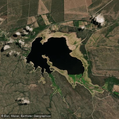
Embalse de Cruz del Eje
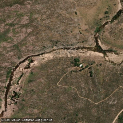
Río Yuspe
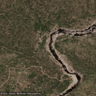
Río Pintos
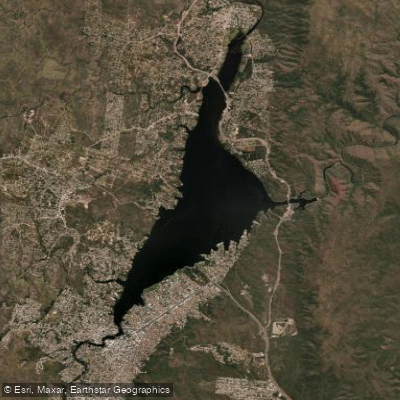
Embalse San Roque
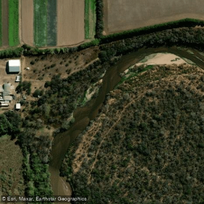
Río Primero (Suquía)
Río Pichanas
Arroyo Ciénaga del Coro
Arroyo Áspero
Explore Córdoba waters
Top paddling waters
No waters available right now.
Popular Cities
Loading popular cities...
Explore near Río Cruz del Eje
Access points
Nearby waters
More in Córdoba

Smarter Paddling Starts in the App.
Paddleways gives you everything you need to plan smarter, paddle better, and own every trip from first launch to takeout.