Río de los Sauces
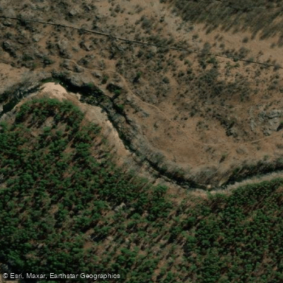
Río de los Sauces
- Boat Ramps
- 0
- Access Points
- 0
- Campsites
- 2
The Río de los Sauces flows through the small town of the same name in the southern end of the Valle de Calamuchita, in Córdoba province, roughly 184 kilometers from the provincial capital and about 100 kilometers from Río Cuarto. The town sits at the foot of the Sierras de Comechingones, and the river is the primary draw for visitors during the summer season.
The river passes through a landscape of low urbanization with native vegetation and sierra terrain. Along its course through and near the town, it forms natural sand beaches, sections of calm, shallow water, and deeper pools, with tree cover providing shade along the banks. The Cufré Creek confluence area and the Rodríguez Bridge zone stand out as particularly attractive stretches. The water is clear and crystalline.
For paddlers, the calm-water sections and natural beach areas make this river suitable for relaxed flatwater paddling rather than whitewater. The summer months are the primary season for river recreation, consistent with the region's temperate climate. The town also supports trout fishing in the river's transparent channels, which indicates reasonably good water quality.
Access to the town is via Ruta Nacional 36 to Elena, then west approximately 18 kilometers on provincial roads. Within the town, the old bridge and the bridge known as "El Ojito" are notable landmarks along the river corridor. Accommodation options include cabins, rental houses, and campgrounds, some situated close to the river. Basic dining is available in town.
The surrounding area offers hiking and horseback riding in the hills, and the town itself has historical significance as one of the oldest settlements in the Valle de Calamuchita, with indigenous Comechingón artifacts — mortars and arrowheads — found near the riverbanks. The chapel Nuestro Señor de la Buena Muerte, built in 1887, is a notable cultural landmark nearby.
Water access, boat ramps & amenities
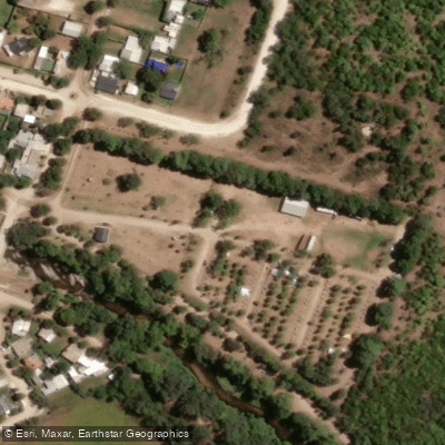
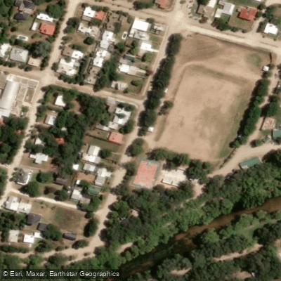
Learn how to get on Río de los Sauces. Uncover great paddling access points, boat ramps, and all the facilities you need for an unforgettable day on the water. Some locations shown may border or include private property. Always check property boundaries and applicable regulations before visiting. PaddleWays's Public & Private Land layer can help you plan your access with confidence.
Paddle smarter with real-time insights
Whether you're en route and conditions shift or you're looking for the best spot based on current flows, we enable you to make informed decisions on the fly.







Córdoba licenses and regulations

Find Places to Paddle

Over 400,000 Places to Paddle
Every user gets free access to launch points, boat ramps, and public property parcels.


Water and weather conditions (10 day forecast)
See the best times to paddle Río de los Sauces and check the forecast before you go.
No forecast data available.
Paddling near Río de los Sauces
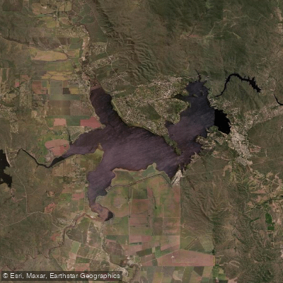
Embalse Ministro Juan Pistarini
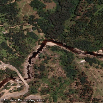
Río de los Reartes
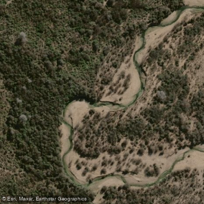
Río Conlara
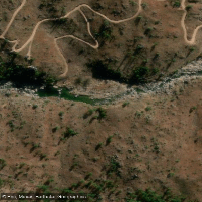
Río El Durazno
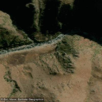
Río Tabaquillo
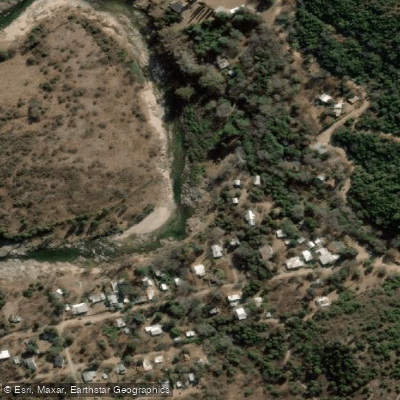
Río Quillinzo
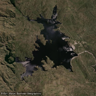
Embalse Cerro Pelado
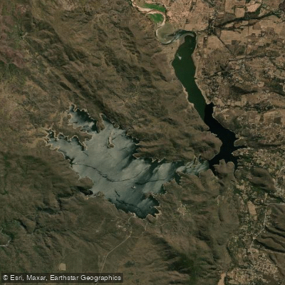
Embalse Ingeniero Antonio Medina Allende
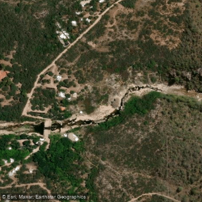
Río Chico de Nono
Explore Córdoba waters
Top paddling waters
No waters available right now.
Popular Cities
Loading popular cities...
Explore near Río de los Sauces

Smarter Paddling Starts in the App.
Paddleways gives you everything you need to plan smarter, paddle better, and own every trip from first launch to takeout.