Río Tabaquillo
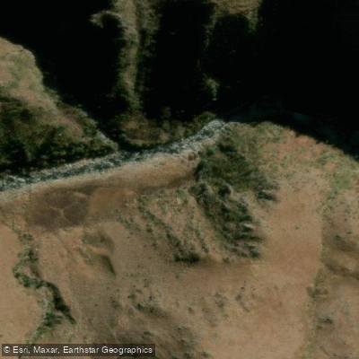
Río Tabaquillo
- Boat Ramps
- 0
- Access Points
- 0
- Campsites
- 2
Río Tabaquillo flows through the valley of San Miguel de los Ríos in the Sierras Grandes de Córdoba, running from its source down to its confluence with Río San Miguel, where it joins to form Río Santa Rosa. The river is characterized by clear, transparent water moving at a gentle pace among rocks, forming pools of varying depths along its course.
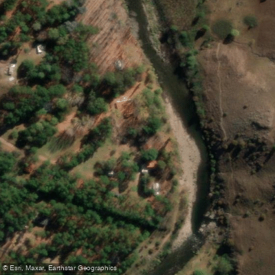
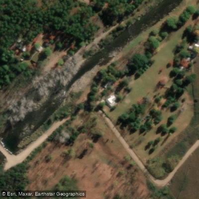
The final stretch of the river, roughly 300 meters before the confluence with Río San Miguel, is one accessible area of interest. Reaching this section requires obtaining permission from a private cabin and camping complex situated approximately 650 meters past the bridge at San Miguel de los Ríos — the same bridge that crosses the Tabaquillo. The access road to the complex is unpaved gravel, and caution is advised; vehicles with four-wheel drive are recommended. An alternative approach is to walk approximately 600 meters from the bridge, following the river's current downstream.
The river runs through a landscape of mountains and forest in the Sierras Grandes, and the surrounding area is noted for its birdlife. The water is notably clear. Río Tabaquillo is also included within Córdoba's regulated sport fishing zones, specifically for fly fishing, which is a common activity on mountain rivers in this province that run between slopes at altitudes of roughly 1,000 to 2,000 meters above sea level.
Given the river's calm, rock-strewn character and the access constraints imposed by private landholdings along its lower reach, paddlers should confirm entry permissions before planning any trip to this section.
Water access, boat ramps & amenities
Learn how to get on Río Tabaquillo. Uncover great paddling access points, boat ramps, and all the facilities you need for an unforgettable day on the water. Some locations shown may border or include private property. Always check property boundaries and applicable regulations before visiting. PaddleWays's Public & Private Land layer can help you plan your access with confidence.
Paddle smarter with real-time insights
Whether you're en route and conditions shift or you're looking for the best spot based on current flows, we enable you to make informed decisions on the fly.







Córdoba licenses and regulations

Find Places to Paddle

Over 400,000 Places to Paddle
Every user gets free access to launch points, boat ramps, and public property parcels.


Water and weather conditions (10 day forecast)
See the best times to paddle Río Tabaquillo and check the forecast before you go.
No forecast data available.
Paddling near Río Tabaquillo
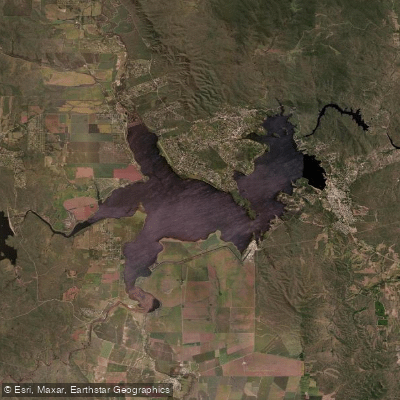
Embalse Ministro Juan Pistarini
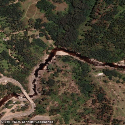
Río de los Reartes
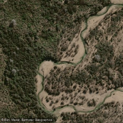
Río Conlara
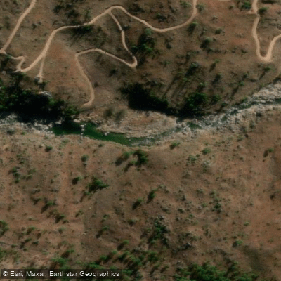
Río El Durazno
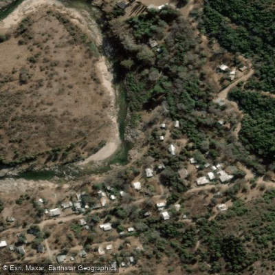
Río Quillinzo
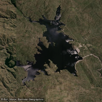
Embalse Cerro Pelado
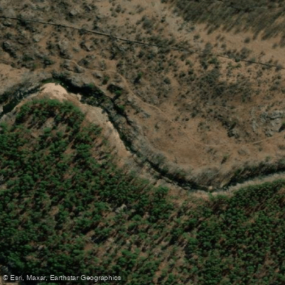
Río de los Sauces
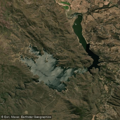
Embalse Ingeniero Antonio Medina Allende
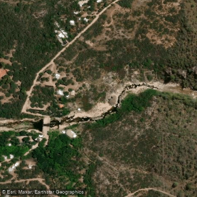
Río Chico de Nono
Explore Córdoba waters
Top paddling waters
No waters available right now.
Popular Cities
Loading popular cities...
Explore near Río Tabaquillo

Smarter Paddling Starts in the App.
Paddleways gives you everything you need to plan smarter, paddle better, and own every trip from first launch to takeout.